Minami-yatsu-gatake Traverse Route
②Minoto-guchi ~ Minoto ~ Akadake-kousen ~ Mt. Iou-dake ~ Mt. Yoko-dake ~ Mt. Aka-dake ~ Gyoja koya Mountain hut ~ Minoto ~ Minoto-guchi
Technical level: C
Physical strength level: 5
Difficulty level: ⛰️⛰️
A premium course that hikes through the core area of Mt. Yatsu-gatake.
The main and challenging part is a ridgeline walk from Mt. Yoko-dake to Akadake-tenbou-sou Mountain hut.
●Hiking Data
Schedule: One night two days
Walking hours: 11 hours 40 minutes
(Up: 7 hours 50 minutes/Down: 3 hours 50 minutes)
Walking distance: 19.9 km
Difference in elevation: 1,913 m
Minoto-guchi


Elevation 1,490m
↓ 1 hour
Minoto
Elevation 1,760m
↓ 2 hours
Akadake-kosen
Elevation 2,220m
↓ 2 hours 10 minutes
Mt. Iou-dake
Elevation 2,741m
↓ 1 hour 20 minutes
Mt. Yoko-dake

Elevation 2,829m
↓ 1 hour 20 minutes
Mt. Aka-dake
Elevation 2,899m
↓ 1 hour 20 minutes
Gyoja koya Mountain hut
Elevation 2,350m
↓ 1 hour 40 minutes
Minoto
Elevation 1,760m
↓ 50 minutes
Minoto-guchi
Elevation 1,490m


Route Guide
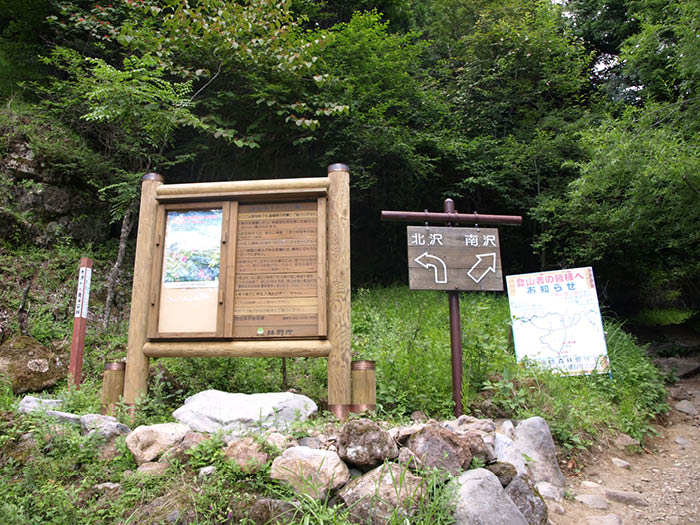
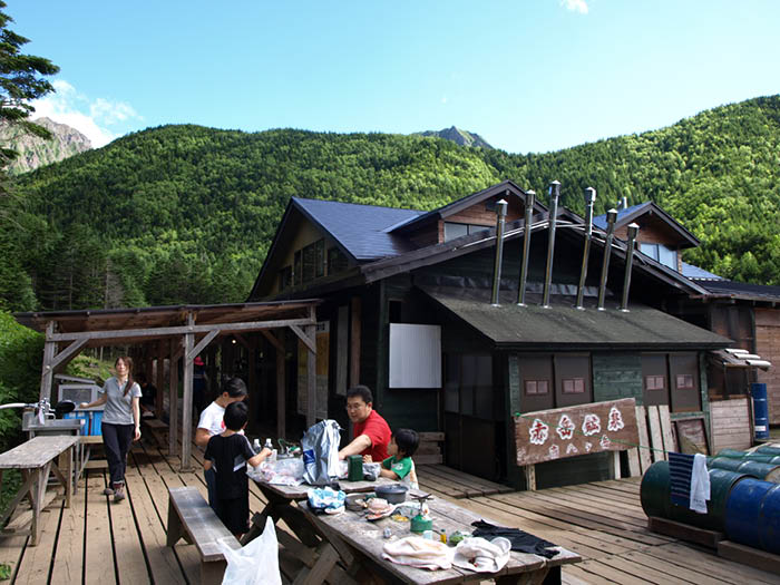
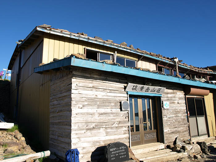
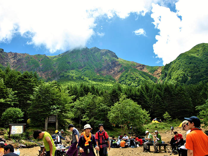
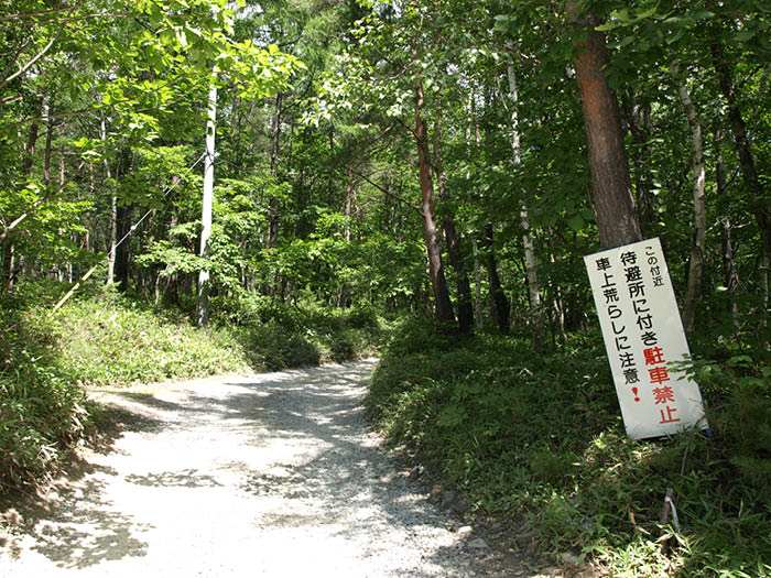
If you use public transportation, start from Minoto-guchi. If you drive, you can park in a parking lot at Minoto. At Minoto sanso Mountain hut, the trail separates into Kita-zawa course and Minami-sawa course. Take Kitasawa course to Akadake-kosen. The trail for the first hour is wide to permit cars to carry stuff to the hut. From the dead-end, the trail goes along Kita-zawa. Akadake-kosen is reached when the ridgeline between Mt. Iou-dake and Mt. Aka-dake appears in front of you. Many hikers gather around a camping site in front of the hut. It is recommended to stay for a night here. If you have physical stamina, you can hike to Iou-dake sanso Mountain hut.
On the next day, the hike starts from a steep slope covered by forest areas, which gives you no clear view. In about 20 minutes after passing Akaiwa-no-kashira, the trail merges into the main ridgeline of Mt. Yatsu-gatake. The wide summit of Mt. Iou-dake is reached at the end of a steep slope on a crater wall. A big cairn stands at the center of the summit. From here, proceed to Ioudake-sanso Mountain hut. Where the hut stands is called O-darumi, which is well known for the variety of Alpine plants. Staff members of the hut maintain the flower fields. From the hut, proceed to the wide graveled ridgeline.
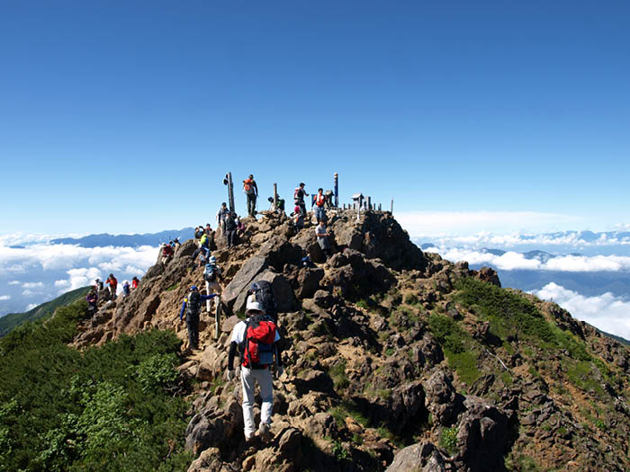
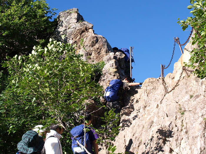
The trail enters a rocky zone to Mt. Yoko-dake, which is the core part of the ridgeline walk. Mt. Yoko-dake consists of 7 peaks. The trail continues to have narrow and rocky hills. Use chains for your safety. The main peak of Mt. Yoko-dake is Okunoin. The peak is wide with a commanding view. From here, the challenging trail continues to Daigongen, Mitsumata-mine, Mt. Hachi-dake, and Mt. Hinode-dake. Use chains and ladders when available. Stay calm while walking.
A Jizo, a stone statue, sits at Jizo-no-kashira. A descending trail on the right leads to the back of Gyoja-koya Mountain hut. If you proceed straight on the ridgeline, it leads to Akadake-tenbo-sou Mountain hut, which stands far above Gyoja-koya Mountain hut.
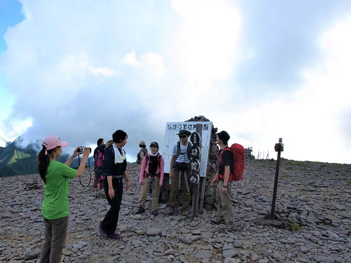
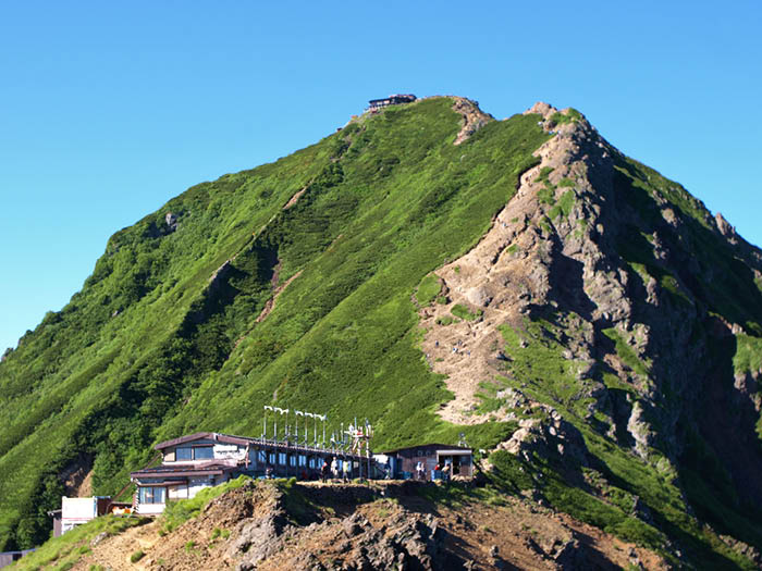
From the hut, Chojo-koya Mountain hut, located at the summit of Mt. Aka-dake can be seen. Let’s head out to Mt. Aka-dake. It is a steep slope but you have no other choice! A long chain is available so feel free to use it. The summit is very close when you reach the shoulder. The north peak of the summit is reached at the end of the hill. Akadake-chojo-koya Mountain hut stands right in front of you. The south peak is just ahead of the hut and a sign and a small Akadake Shrine are set there. It is a nice place to take a break and enjoy the view. Let’s take a break for a while.
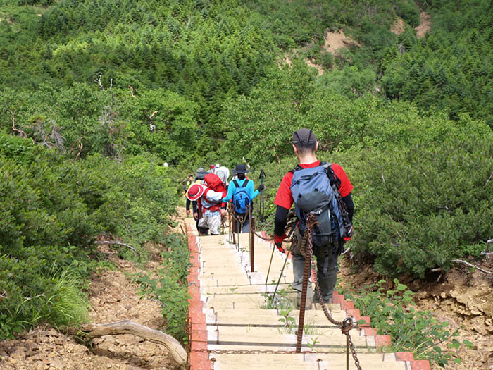
To descend, hike down the rocky zone towards Mt. Amida-dake. Use chains wisely. Be careful on loose stones. Head to Gyoja-koya Mountain hut from Bunsaburo junction. The graveled trail comes to steel steps. At the end of the steps, Gyoja koya Mountain hut is reached. Take a break and proceed to Minami-sawa course. Hike back to Minoto while enjoying forest hiking. Walk on the logging road used for ascending to Minoto-guchi.