Hakuba Oike Route
Tsugaike Nature Park ~ Hakuba Oike ~Mt. Shirouma-dake〜 Hakuba Snowy Gorge ~ Sarukura
Technical level: C
Physical strength level: 5
Difficulty level: ⛰️⛰️⛰️
This path descends from Tsugaike Nature Park to Sarukura instead of ascending from Sarukura. To Tsugaike Nature Park: Walking hours will be one hour shorter with this path due to the elevation of the starting point, which is 600m higher.
Access to Tsugaike Kogen –
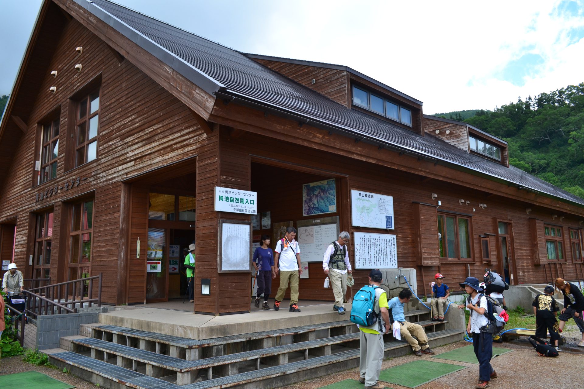
Tsugaike Sizen-en
Access to Sarukura
●Hiking Data
Schedule: One night two days
(Hakuba-sanso Mountain hut or Hakuba-dake Chojo-sanso Mountain hut)
Walking hours: 10 hours 35 minutes
(Up: 6 hours 50 minutes/ Down: 3 hours 45 minutes)
Walking distance: 15.7 km
Difference in elevation: 1,379 m
※Daisekkei (Hakuba Snowy gorge) Route closed.
Please use the return trip from the trailhead or other routes. However, all of the other routes require more technical and physical skills, and require a longer schedule.
Tsugaike Nature Park

Elevation 1,850m
↓ 1 hours 20 minutes
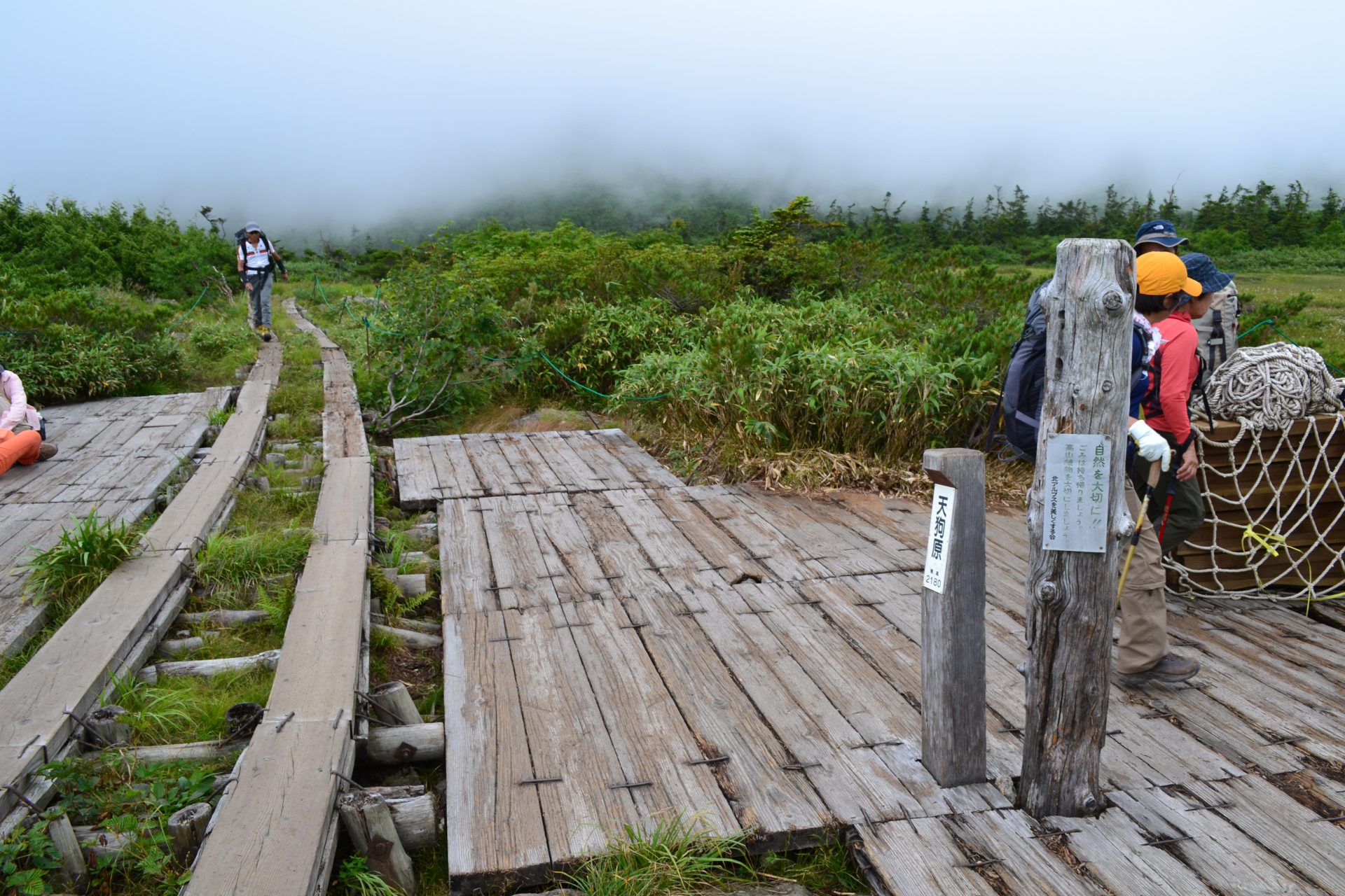
Tenguhara
Elevation 1,900m
↓ 1 hours 30 minutes
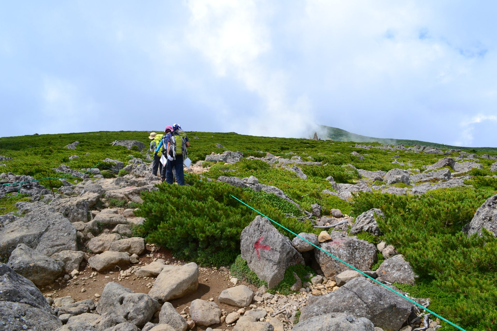
Mt. Norikura-dake
Elevation 2,436m
↓ 30 minutes
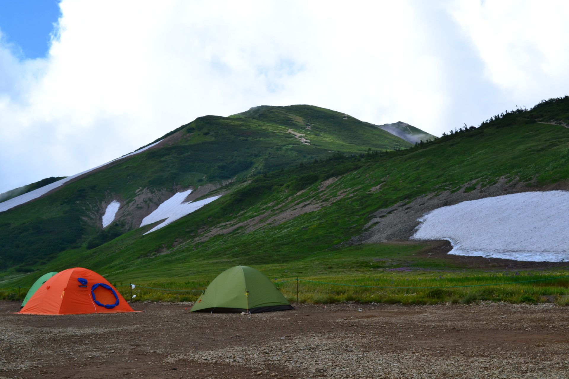
Hakuba Oike
Elevation 2,380m
↓ 2 hours
Mt. Korenge-san
Elevation 2,766m
↓ 1 hours 30 minutes
Mt. Shirouma-dake
Elevation 2,932m
↓ 1 hours 25 minutes
Nebukabira
Elevation 2,290m
↓ 1 hour 30 minutes
Hakuba-jiri
Elevation 1,560m
↓ 50 minutes
Sarukura
Elevation 1,230m
Route Guide
Route guide
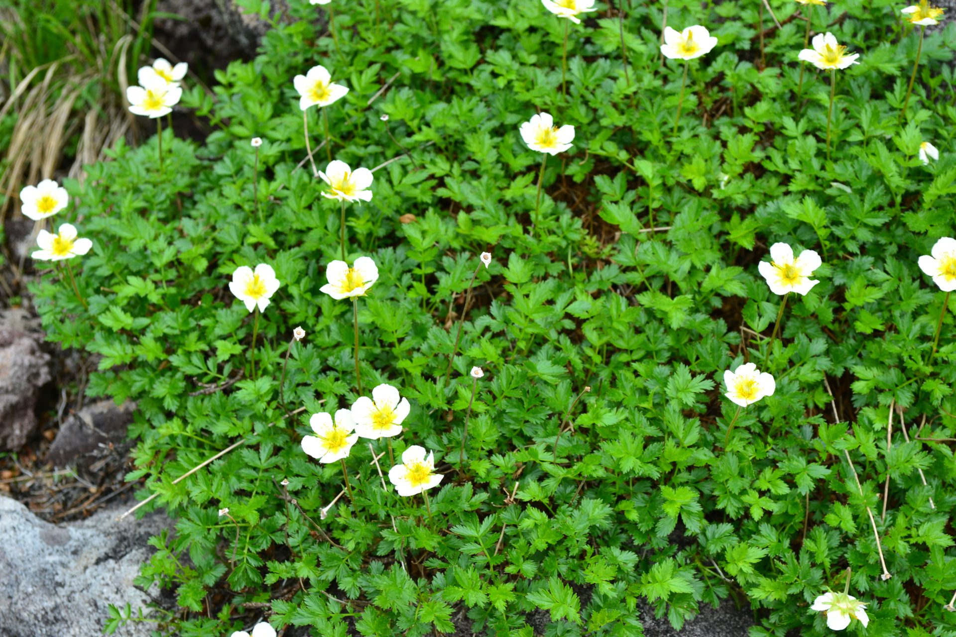
Take a ropeway to Tsugaike Nature park. A trailhead is in front of a visitor center at the entrance of the park. Start this zigzag path through the forest zone. The trail becomes boardwalk, which reaches Tenguhara. This is a swamp area with beautiful Alpine plants.
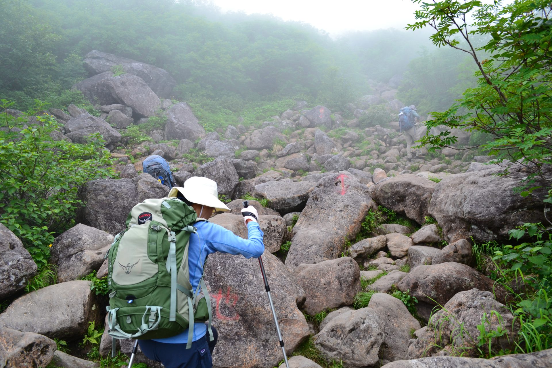
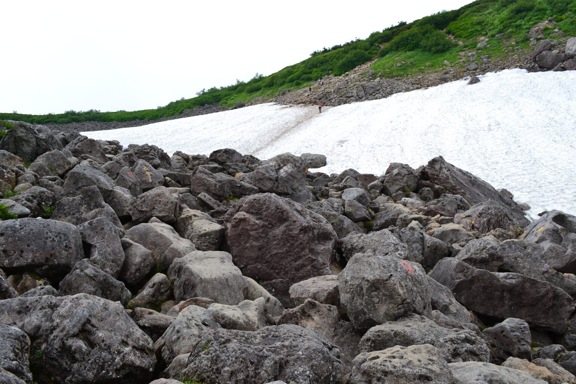
Along the trail, cotton grass and Iris setosa are in bloom. Chito, the swamp in high altitude can be seen and this resembles Oze. The trail enters into an uphill to Mt.Hakuba Norikura-dake. Andesite rocks are piled up on the trail and it requires walking on those rocks. The rocky trail ends at where a small snowy valley appears in the right lower corner of your sight.
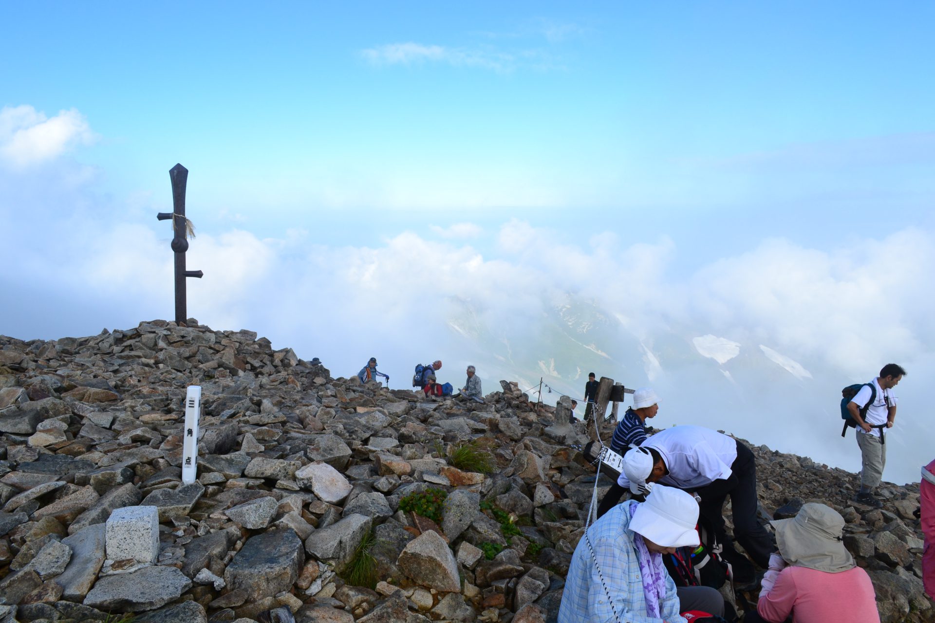
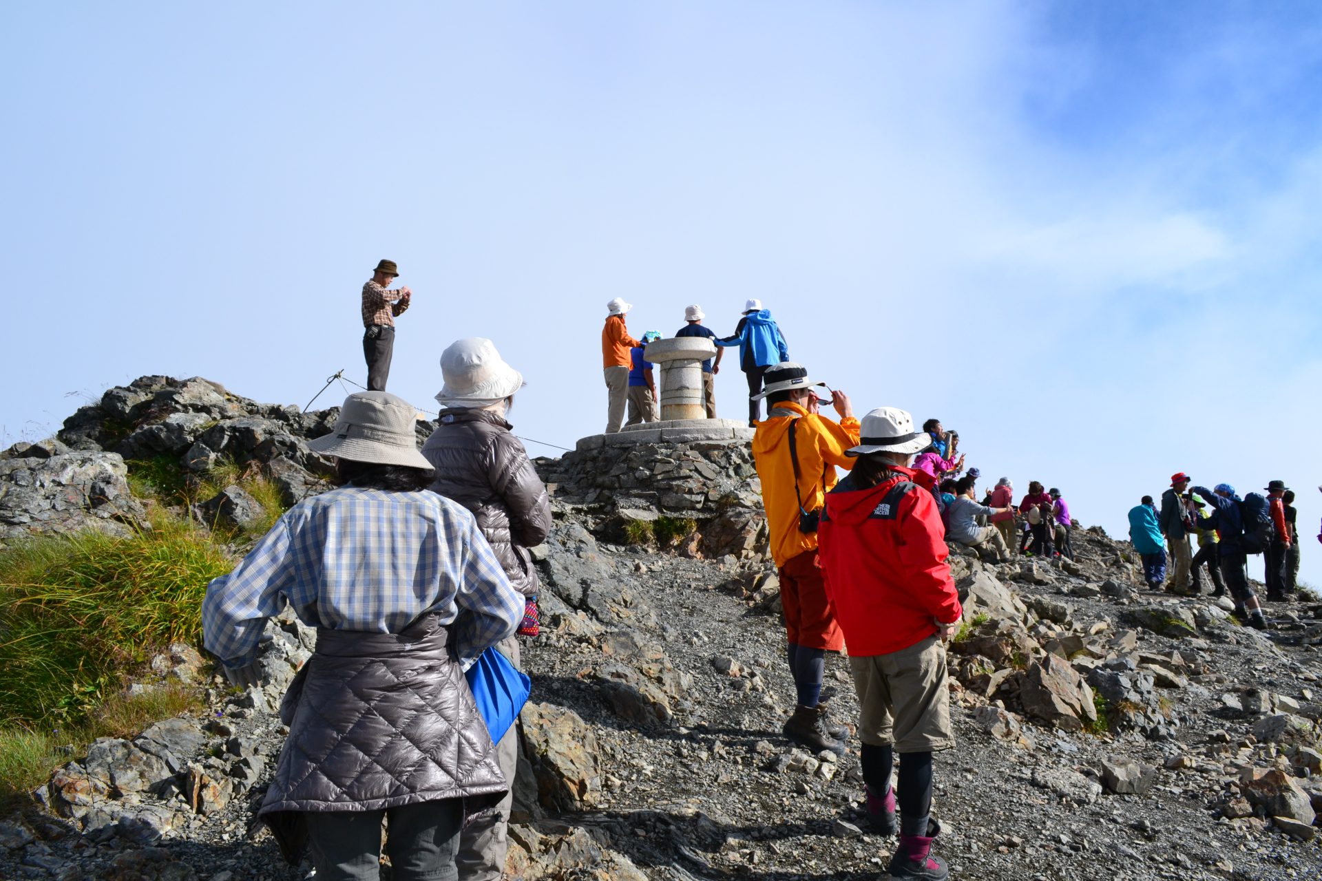
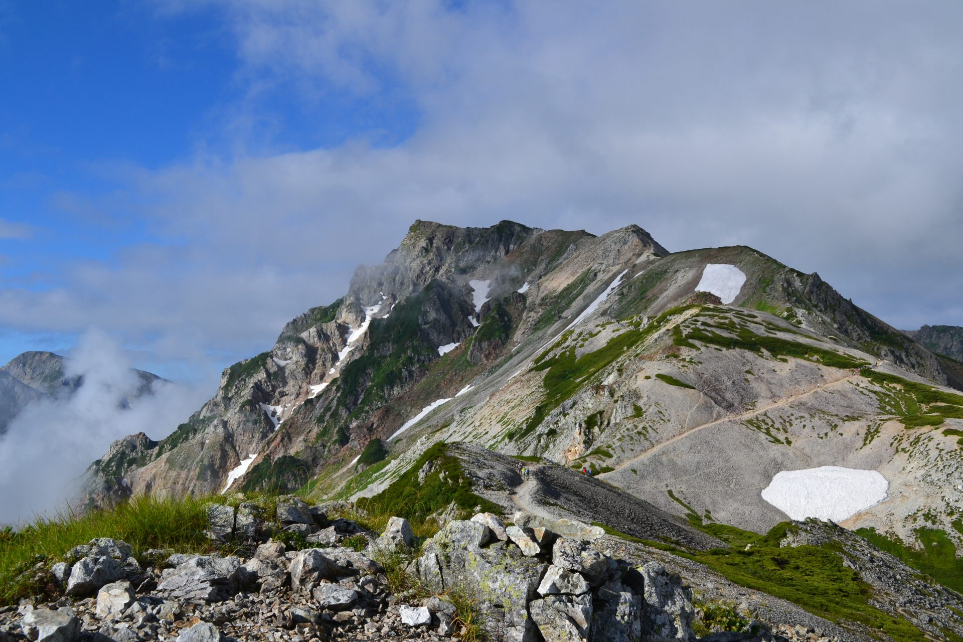
The path crosses a snowy gorge but there is no need for the use of crampons. After a short uphill and an open plateau, Mt. Hakuba-Norikura-dake is reached. A gigantic cairn in your direction represents the peak of the mountain. From this point, the rocky zone begins. A big pond will come into view, Hakuba Oike. Walk along the edge of the pond, and the Hakuba Oike-sanso Mountain hut will be reached.
Climb the ridgeline in front of you from the hut. This will be the highlight to Mt. Shirouma-dake. Dicentra can be spotted along the path. As the altitude grows higher, the view becomes spectacular. Pass Mt. Korenge-san, where an iron sword is plunged into the ground, then Mikunizakai is reached. This is a prefectural border among Toyama, Nagano and Niigata. With a short hike, the summit of Mt. Shirouma-dake will be reached. Enjoy the fantastic 360 degree view at the summit. Staying the night at Hakuba-sanso Mountain hut or Hakuba-dake Chojo-syukusha Mountain hut is recommended.
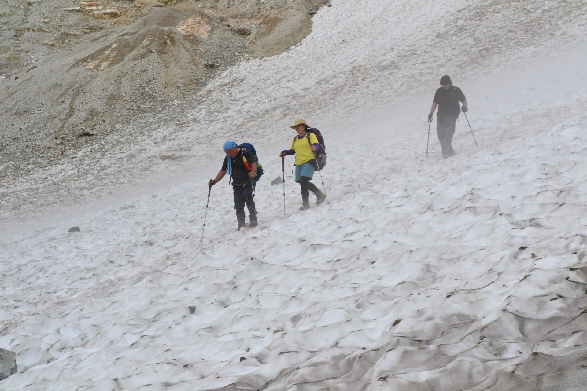
On Day 2, please descend to Sarukura. Use the steep trail in front of Hakuba-dake Chojo-syukusha Mountain hut. This slope is a field full of flowers. A snowy valley can be seen in your direction. That is Hakuba Snowy Gorge. When descending, crampons are not necessary. However, if you are not comfortable walking without them, then it is recommended that you wear them as needed. After the slope, Hakubajiri will be reached shortly. After Hakubajiri, stroll the logging road down to Sarukura.