Daisekkei (Hakuba Snowy Gorge Climbing) Route
Sarukura ~ Hakuba Snowy Gorge ~ Mt. Shirouma-dake ~ Tsugaike Nature Park
Technical level: C
Physical strength level: 5
Difficulty level: ⛰️⛰️⛰️
The highlights of this superlative mountain hiking are a stay at the cabin on the summit of the mountain, the radiance of its nature and the great view of Mt. Shirouma-dake.
The technical level is for beginners. It is an entry level course for The Northern Japan Alps.
Access to Sarukura
Access to Tsugaike Kogen –Tsugaike Sizen-en
●Hiking data
Schedule: one night two days Walking time: 11 hours 30 minutes
(Up: 6 hours 55 minutes/Down: 4 hours 55 minutes)
Walking distance: 15.6 km
Difference in elevation: 1,696 m
Sarukura

Elevation 1,230m
↓ 1 hour
Hakuba-jiri

Elevation 1,560m
↓ 20 minutes
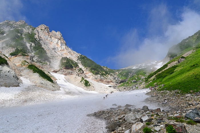
The end of the Massive Snowy Gorge
Elevation 2,250m
↓ 2 hours
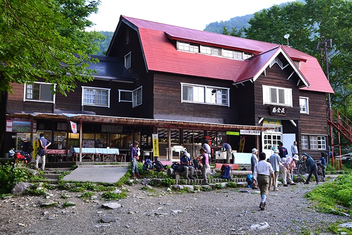
Hakuba-dake Chojo-syukusha Mountain hut
Elevation 2,730m
↓ 15 minutes
Hakuba-sanso Mountain hut
Elevation 2,900m
↓ 20 minutes
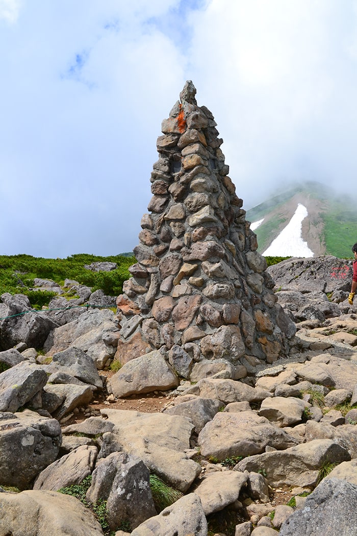
Mt. Korenge-san
Elevation 2,766m
↓ 1 hours 20 minutes
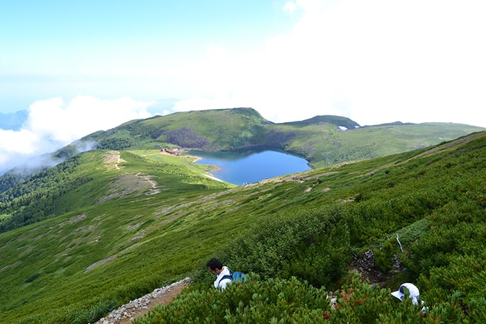
Hakuba Oike
Elevation 2,380m
↓ 45 minutes
Tsugai Pond Nature Park

Elevation 1,850m
Route Guide
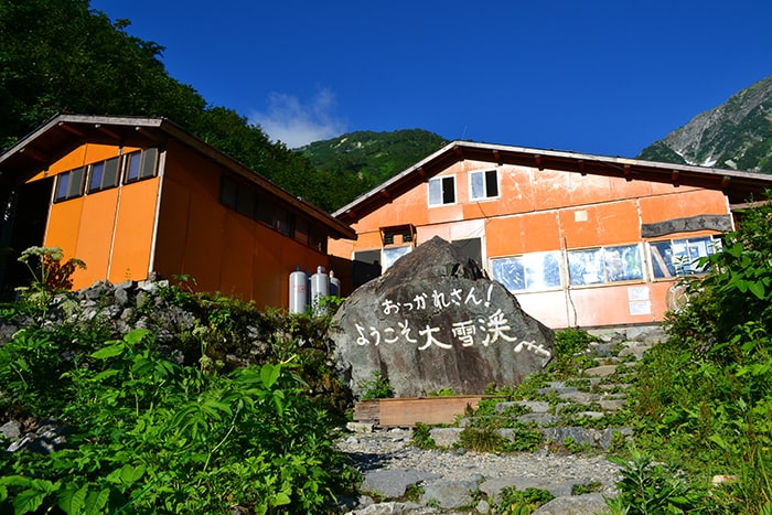
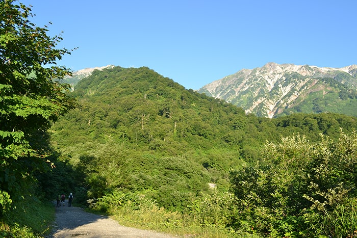
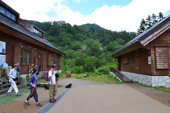
An easy walking path through forest from Sarukura leads to Hakubajiri-koya Mountain Hut.
This is an enjoyable trail without hard uphills and downhills. The ridgeline of Mt. Shirouma-dake will be in sight from Hakubajiri.
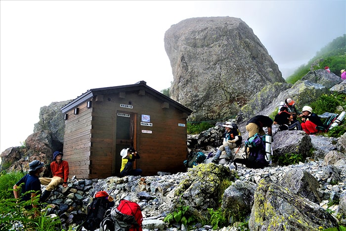
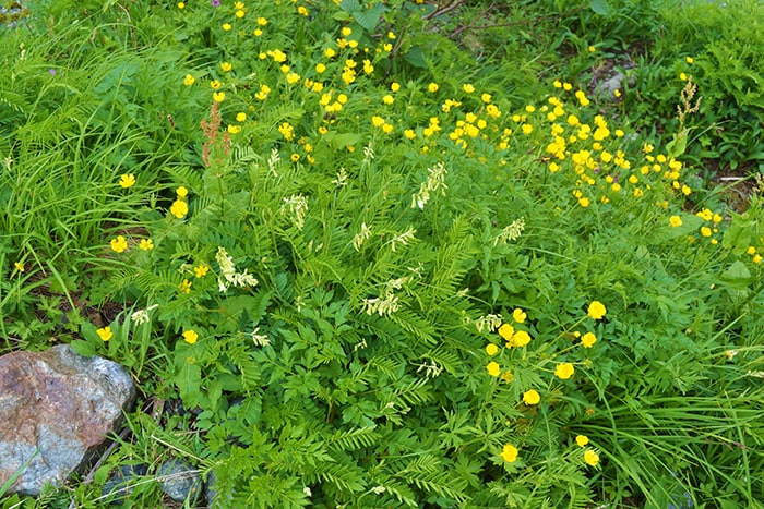
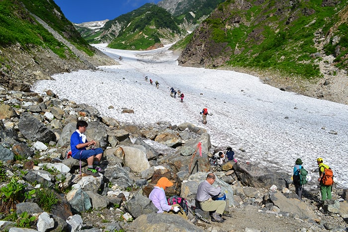
From here, it takes a short time to the entrance of the Hakuba Massive Snowy Gorge. Crampons (6 points are suitable) need to be attached before entering the massive snowy gorge. Walk along the red line with an abundance of caution for falling rocks. From the end point of the massive snowy gorge, the trail goes into a steep, graveled slope. Once alpine plants begin to appear on the trail, it happens upon an emergency cabin. This is a good resting point. A place to replenish water supplies can be found a little further above.
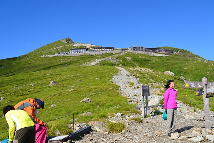
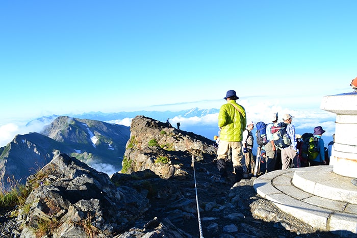
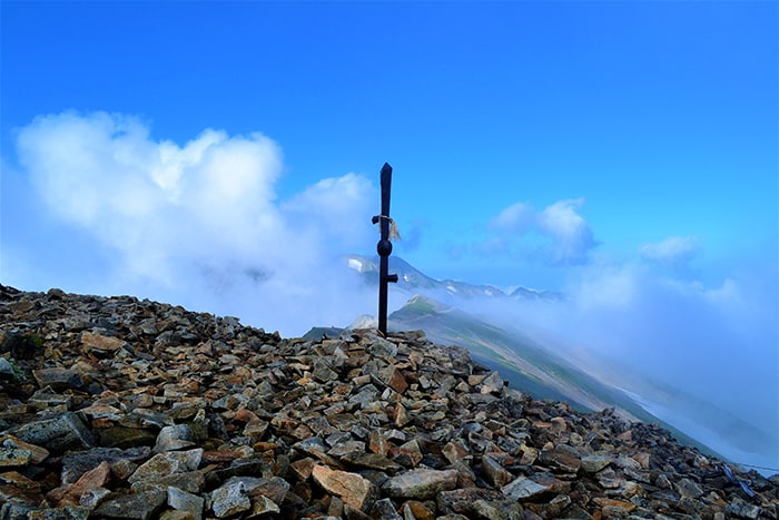
After another steep climb, the trail reaches the mountain cabin, Hakuba-dake Chojo-syukusha Mountain Hut. It takes 35 minutes to get from here to the summit of Mt. Shirouma-dake. After passing Hakuba-sanso Mountain hut, the trail reaches the summit of Mt. Shirouma-dake. Enjoy the spectacular view!
It is recommended that you stay the night at Hakuba-sanso Mountain hut or Hakuba-dake Chojo-syukusha Mountain hut. There is a camping site at Hakuba-dake Chojo-syukusha Mountain hut.
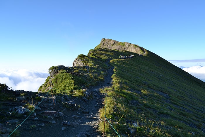
On Day 2, the trail starts hiking down the ridgeline to Hakuba Oike with an open view. Have a nice break at Hakuba Oike-sanso Mountain hut at Hakuba Oike then hike down to Mt. Hakuba Norikura-dake, which has a wide summit, to Tenguhara. From Tenguhara, follow the wooden path, which leads to Tsugaike Pond Nature Park. Take a cable car or gondola lift down to Tsugaike Plateau
