Tankei Shindo Route
② Utajuku ~ Tankei-Shindo Trailhead ~ Umanose hut junction ~ Mt. Senjo-gatake ~ Umanose hut ~ Kitazawa pass
Technical level: B
Physical strength level: 4
Difficulty level: ⛰️⛰️
From Tankei-shindo where fewer hikers walk to Mt. Senjo-gatake
Access to Tankei Shindo Trailhead from Senryu-sou Hotel
●Hiking Data
Schedule: One night two days
Walking hours: 9 hours 5 minutes
Walking Distance: 10.9 km
Difference in elevation: 1,519 m
Utajuku bus stop
Elevation 1,680m
↓ 30 minutes
Tankei-shindo junction


Elevation 1,700m
↓ 4 hours
Umonose hut junction
Elevation 2,698m
↓ 1hour 20 minutes
Mt. Senjo-gatake
Elevation 3,032m
↓ 1hour 10 minutes
Umonose hut

Elevation 2,640m
↓ 1hour 50 minutes
O-daira-sanso Mountain hut
Elevation 1,960m
↓ 15 minutes
Kitazawa pass
Elevation 2,030m


Route Guide
If you ride the South Japan Alps logging road bus from Senryu-sanso Mountain hut, most hikers go to Kitazawa pass. It is recommended that you ride the front of the bus to avoid having to hustle when getting off the bus. Also, when you ride the bus, make sure that you tell the bus driver that you would like to get off at Utajuku.
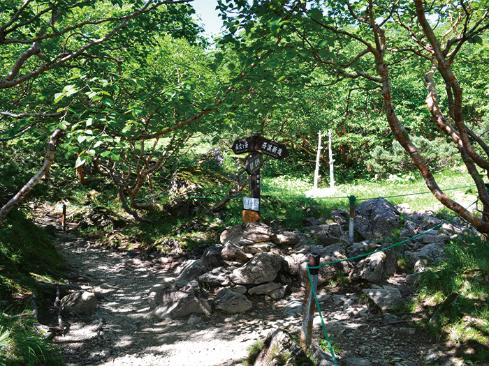
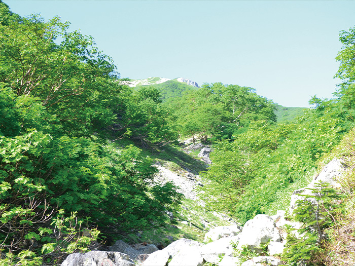
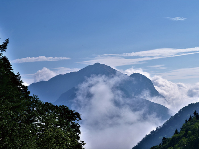
After getting off the bus at Utajuku bus stop, climb the South Japan Alps logging road in the direction the bus you just got off proceeded. The entrance of Tankei-shindo is reached in about 30 minutes. It is rare that one walks on this trail in the summer season. More hikers choose this route in the winter while snow still remains. Tankei-shindo is surprisingly well surprisingly and is easy to walk on. Enter the trail by climbing the stairs at the entrance of Tankei-shindo. From the entrance, Mt. Nokogiri-dake and Mt. Kaikoma-gatake can be seen. Follow the trail, covered by Shirabiso and Kometsuga. After passing a single peak, the view goes wide. Your goal, Mt. Senjo-gatake can be spotted. It is a long walk but the view does not bore you. When the trail from Umanose hut merges, Mt. Senjo-gatake can be seen above the Pinus Pumila zone.
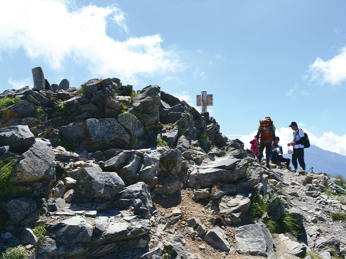
Proceed towards Senjyo-koya Mountain hut, standing at the depression of Mt. Senjo-gatake. Descend once then ascend again. You may become out of breath. Walk at a breathing pace. Senjo-koya Mountain hut is reached in the depression. Mt. Senjo-gatake is reached shortly after the trail merges into a ridgeline. Mt. Kita-dake and other mountains in the South Japan Alsp can be enjoyed at the summit. Spend as much time as possible here. From the summit, descend the same trail used for ascending to the junction of the Umanose hut. Take the trail towards the Umanose hut, which is surrounded by Alpine plants. It is recommended that you stay at the hut for the night.
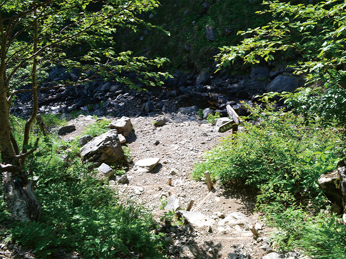
From Umanose hut, descend the narrow and steep slope. Small flowers may be in bloom along the trail. The trail comes to a snowy valley. If it is early summer, it might be easier to walk on the snowy valley. When returning to the trail, it enters a forest zone. O-daira-sanso Mountain hut is reached. From the front of the hut, follow the trail to Kitazawa pass.