Kitazawa Touge Route to Senjo-gatake
①Kitazawa pass ~ Umanose hut ~ Senjo-koya Mountain Hut ~ Mt. Senjo-gatake ~ Mt. Sho-senjo-dake ~ Kitazawa pass
Technical level: C
Physical strength level: 3
Difficulty level: ⛰️⛰️
The main route to Mt. Senjyo-ga-take
A snowy valley hike and alpine plants can be enjoyed
Access to Kitazawa Pass from Hotel Senryu-so
●Hiking Data
Schedule: One day (based at Kitazawa pass)
Walking hours: 7 hours
Walking distance: 8.9 km
Difference in elevation: 1,224 m
Kitazawa pass

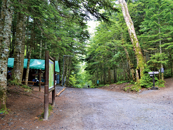
Elevation 2,030m
↓ 10 minutes
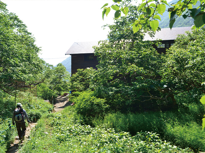
O-daira-sanso Mountain hut
Elevation 1,960m
↓ 2hours 30 minutes
Umaonose hut
Elevation 2,640m
↓ 1hour 30 minutes
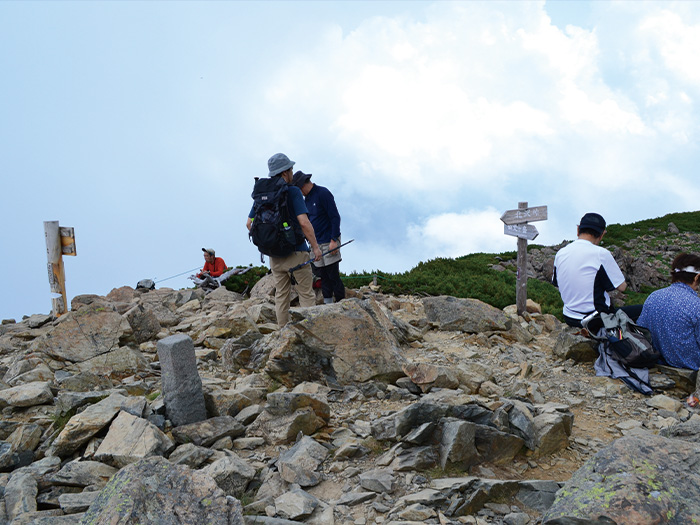
Mt. Senjo-gatake

Elevation 3,032m
↓ 50 minutes
Mt. Sho-senjo-gatake
Elevation 2,864m
↓ 40 minutes
O-taki-no-kashira
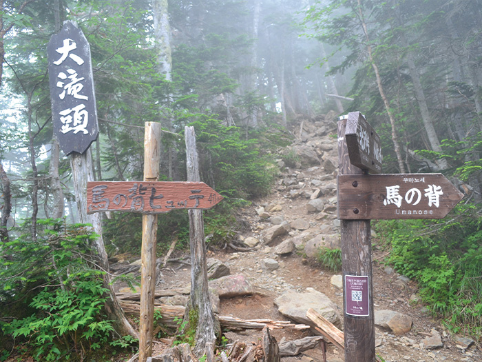
Elevation 2,519m
↓ 1 hour 20 minutes
Kitazawa pass
Elevation 2,030m

Route Guide
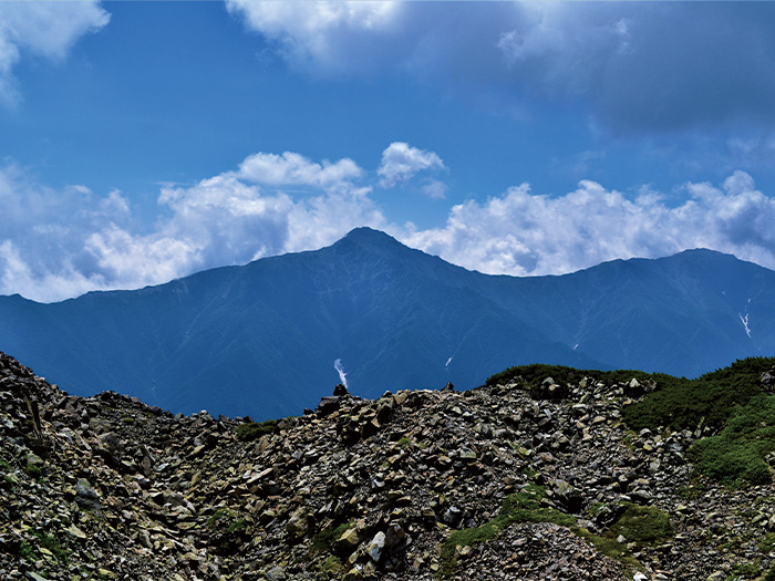
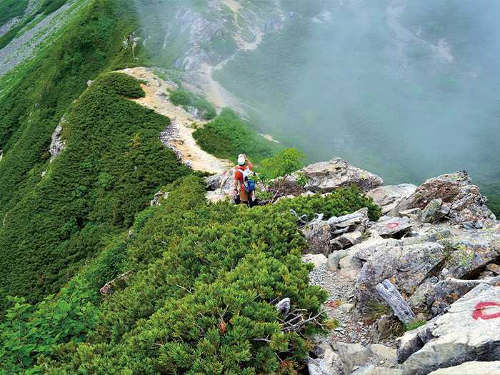
From Kitazawa pass, walk back towards the Todai area on the South Japan logging road and follow a road sign to O-daira-sanso Mountain hut. From the front of the hut, enter Yabusawa-shindo. It is a trail through the forest zone. The trail becomes steep for about 15 minutes. After ascending in a zigzag pattern, the trail becomes evens out. It is a comfortable trail to walk on. A small bridge is reached. Snow remains around the area till late summer. Start climbing the slope after crossing the bridge. If in early summer, ascend the snowy valley. It does not require the use of crampons usually but it is safe to bring them with you just in case. Trekking poles can be useful for the area. Climb the snowy valley as much as possible. Move over to the trail on the right hand side where the snow comes to end. A trail from Senjo-yabusawa-koya Mountain hut merges from the left hand. Proceed to the right slope to Umanose hut. The area around the hut is like a treasury house of alpine plants. Keep on ascending. Passing the junction of Tankei-shindo, the trail ascends through a Pins Pumila zone. Mt. Senjo-gatake appears in your direction. From this spot, the trail becomes a very steep trail towards Senjo-koya Mountain hut. There is a place to replenish your water supply near the hut. Pass the hut and start hiking on a ridgeline towards the summit. Once the trail merges into the ridgeline, the summit of Mt. Senjo-gatake is reached shortly. Small rocks are piled up at the summit. The view is fantastic. Enjoy the view then proceed on the ridgeline.
Continue hiking on the ridgeline with a wide view. The trail descends for the most part. Mt. Fuji-yama can be seen by Mt. Kita-dake. The highest and the second highest mountains in Japan can be seen simultaneously. There are some ups and downs along the trail. Be careful when passing through small rocky zones. Mt. Sho-senjo-gatake can be seen in your direction after passing a big rock zone. Mt. Kaikoma-gatake can be seen behind Mt. Sho-senjo-gatake. The summit is ideal for resting. The trail becomes a steep downhill from the summit so it is recommended that you take a longer break at the summit. From Mt. Sho-senjo-gatake, descend the trail with the wider view. The slope is very steep and it becomes even steeper as you proceed. Be careful not to fall. The trail enters a forest zone from O-taki-no-kashira. Proceed with caution till Kitazawa pass.