Nigorigo Onsen Route
③Nigorigo Onsen ~ Nozoki-iwa ~8th station ~ the summit of Hida ~ Ken-gamine ~ the summit of Hida ~ Nozoki-iwa ~ Nigorigo Onsen
Technical level: B
Physical strength level: 4
Difficulty level: ⛰️⛰️
This is the only route from the Hida side, which starts from Nigorigo Onsen.
●Hiking Data
Schedule: Day trip or one night two days
Walking hours: 9 hours 30 minutes
(Up: 5 hours 25 minutes/Down: 4 hours 5 minutes)
Walking distance: 14.1 km
Difference in elevation: 1,590 m
Nigorigo Onsen trailhead
Elevation 1,780m
↓ 1 hour
Yunohana pass
Elevation 2,100m
↓ 40 minutes
Nozoki-iwa
Elevation 2,270m
↓ 40 minutes
Otasuke-mizu
Elevation 2,480m
↓ 1hour
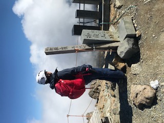
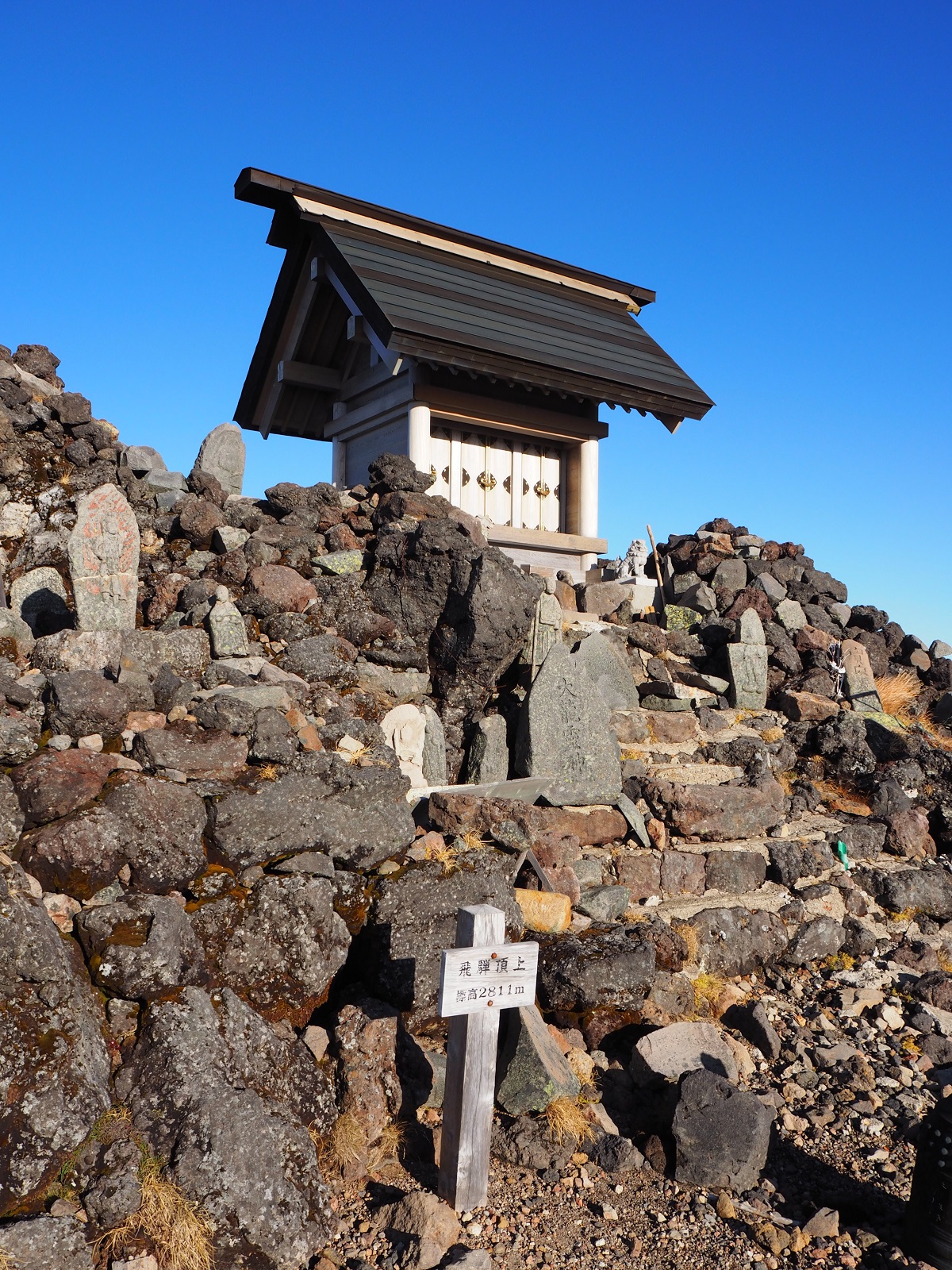
the summit of Hida
Elevation 2,800m
↓ 2hours 5 minutes
Ken-gamine
Elevation 3,067m
↓ 1hour 45 minutes
the summit of Hida
Elevation 2,800m
↓ 1hour 10 minutes
Nozoki-iwa
Elevation 2,270m
↓ 1hour 10 minutes
Nigorigo Onsen trailhead
Elevation 1,800m


Route Guide
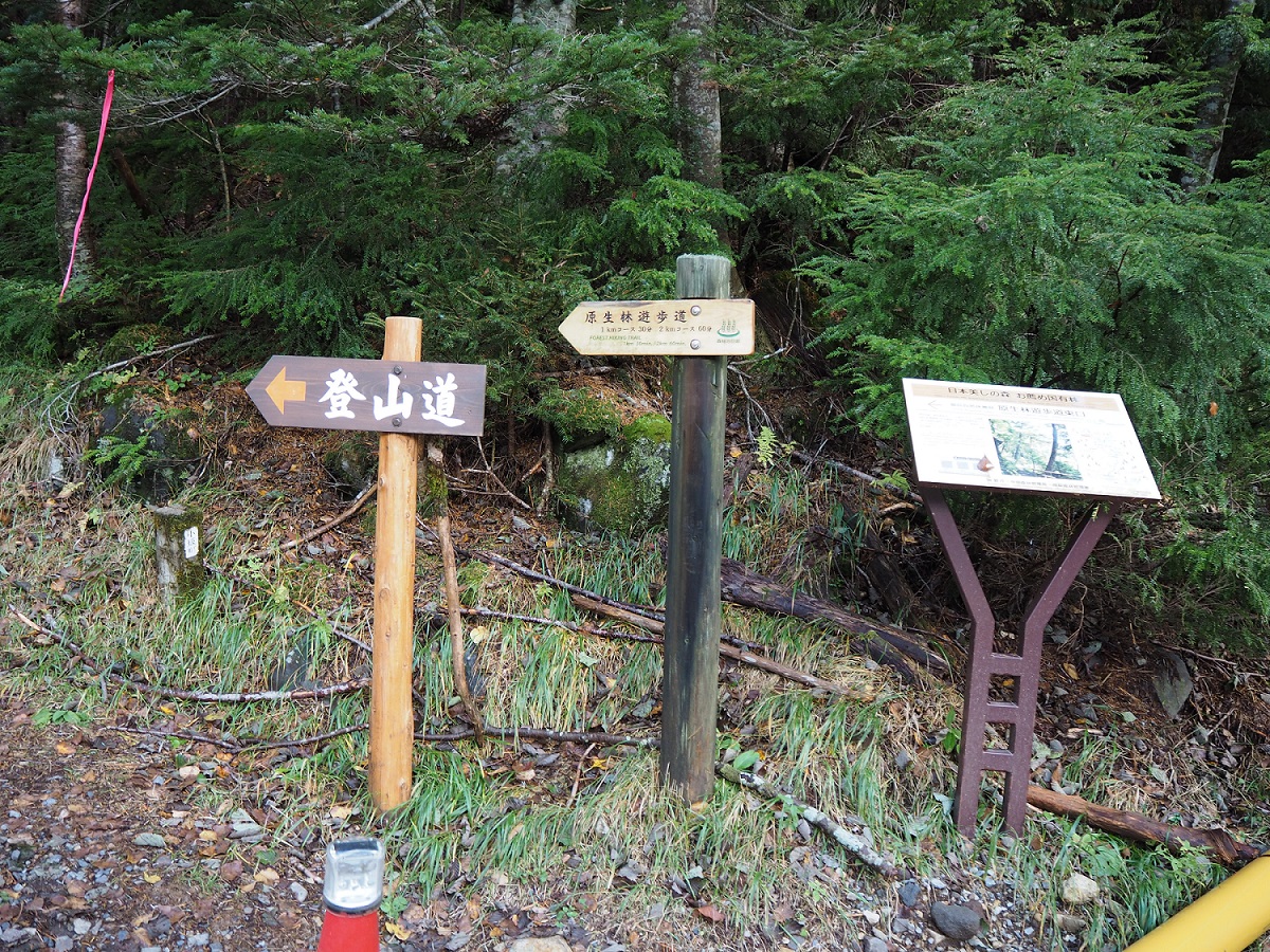
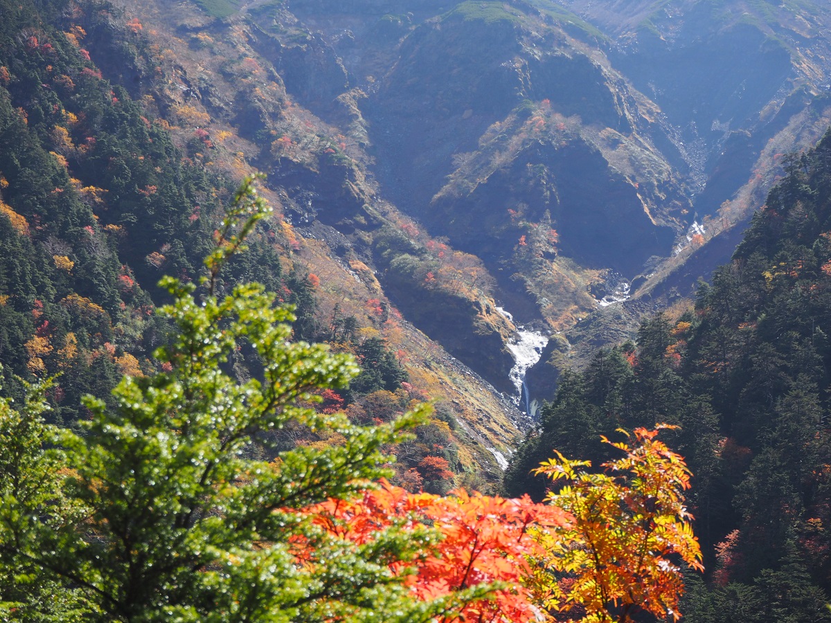
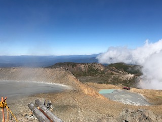
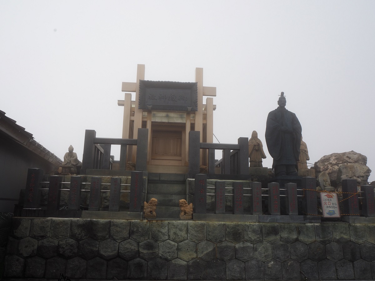
Hida-osaka-guchi trail, which was developed to worship Ontake, has a long history and many hikers visit the mountain for a worship even to these days. The trailhead is located at the end of the Nigorigo Onsen town. The original trail is not available due to Sennin bridge collapsing in June 2018. An alternate trail starts from the parking lot at the trailhead. Start walking on the promenade. A newly built trail should be easy to walk on. When the trail turns south, it merges with the original trail. From this junction, the trail becomes very steep. Walk through Abies mariesii forest. Some parts are made with wood and can be slippery so be careful not to fall. After passing 7th station, the trail enters an area covered by moss. There are some huge rocks covered by moss. After passing Yunohana pass, named after the smell of hot springs from steam vents, the trail enters Kome-tsuga forest. Nozoki-iwa is reached where a trail merges from the left. Wind and snow may easily affect this part of the trail. In a short time, Otasuke-mizu at 8th station is reached but there is no water available at this point. From here, the trail crosses the tree line and ascends through Pinus Pumila. The view becomes wider. The summit of Hida is reached when Dicentra appear along the trail.
Take a short break at the summit then head to the summit of Ken-gamine. Hike to Marishiten-nokkoshi. The view is fabulous on this ridgeline. From Nokkoshi, head south. Pass Saino-kawara emergency shelter and proceed to Ninoike-sanso Mountain hut. Turn right just ahead of the hut and continue to the summit of Ken-gamine. The panoramic view spreads out in front of you. Descend the same trail used for ascending.