Kaida Kogen Route
②Kaida-guchi trailhead ~ Old Nana-gome emergency shelter ~ The summit of Kaida ~ Ninoike-sanso Mountain hut ~ Ken-gamine ~ The summit of Kaida ~ Kaida-guchi trailhead.
Technical level: B
Physical strength level: 5
Difficulty level: ⛰️⛰️⛰️
Kaida-guchi trailhead ~ Old 7th station emergency shelter ~ The summit of Kaida ~ Ninoike-sanso Mountain hut ~ Ken-gamine ~ The summit of Kaida ~ Kaida-guchi trailhead.
Access to Kaida Kogen trailhead
●Hiking data
Schedule: one day
Walking hours: 13 hours 5 minutes
(Up: 7 hours 40 minutes/Down: 5 hours 25 minutes)
Walking distance: 16.3 km
Difference in elevation: 1,813 m
Kaida-guchi trailhead
Elevation 1,500m
↓ 3hours
Old 7th station emergency shelter
Elevation 2,210m
↓ 2hours 20 minutes
The summit of Kaida
Elevation 2,720m
↓ 1hour 30 minutes
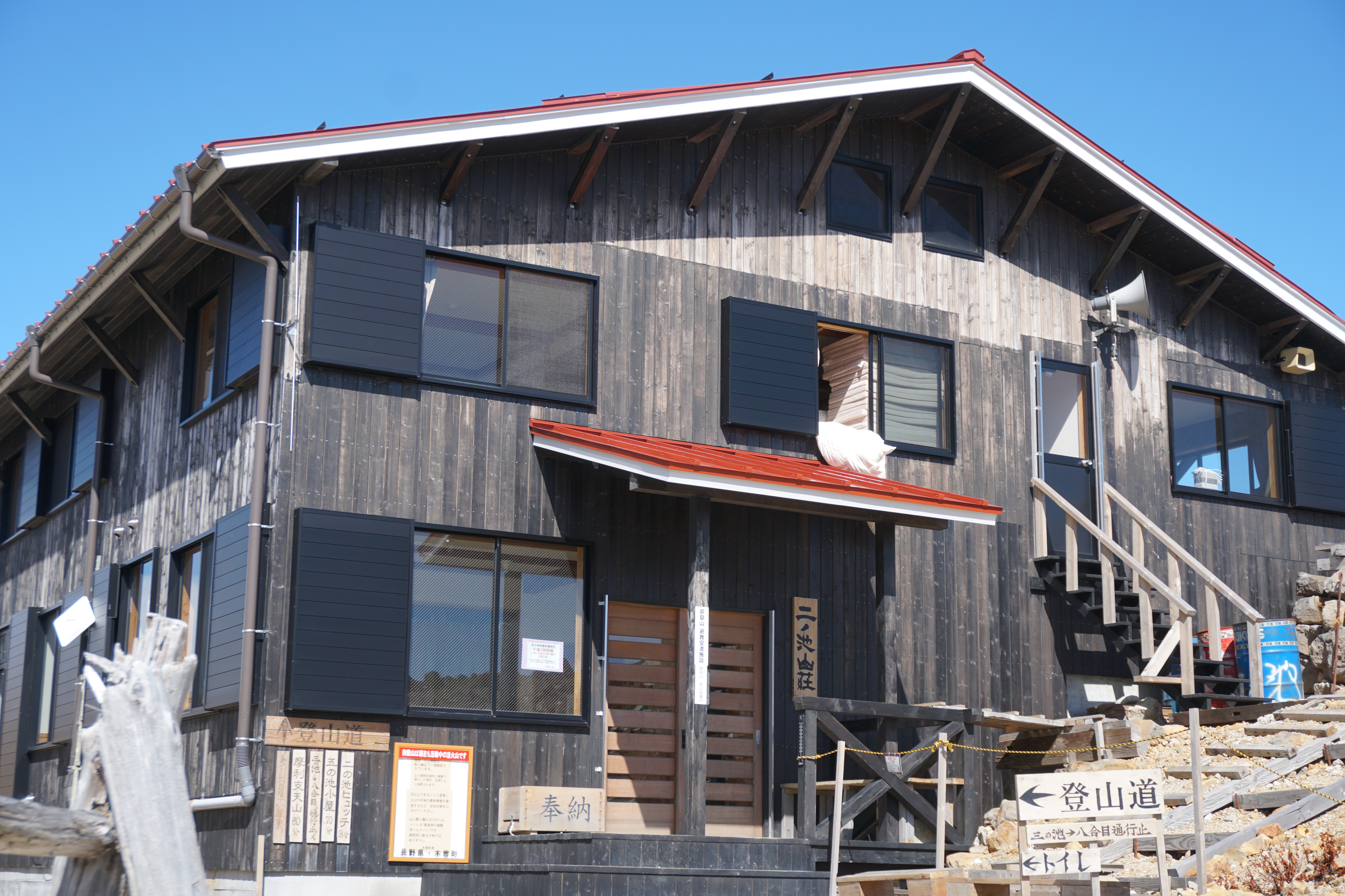
Ninoike-sanso Mountain hut
Elevation 2,905m
↓ 50 minutes
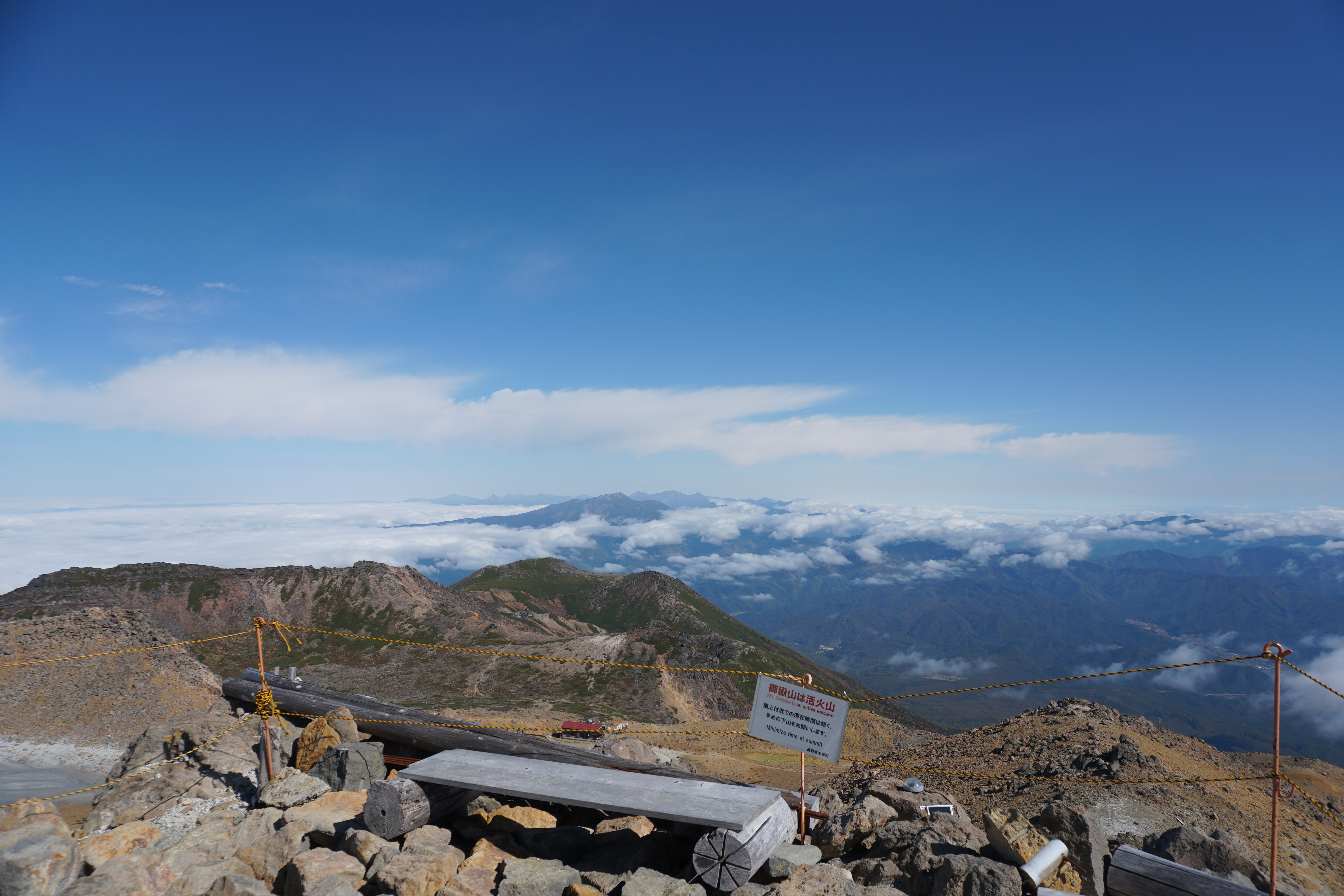
Ken-gamine
Elevation 3,067m
↓ 1hour 55 minutes
The summit of Kaida
Elevation 2,720m
↓ 3hours 30 minutes
Kaida-guchi trailhead
Elevation 1,500m
Route Guide
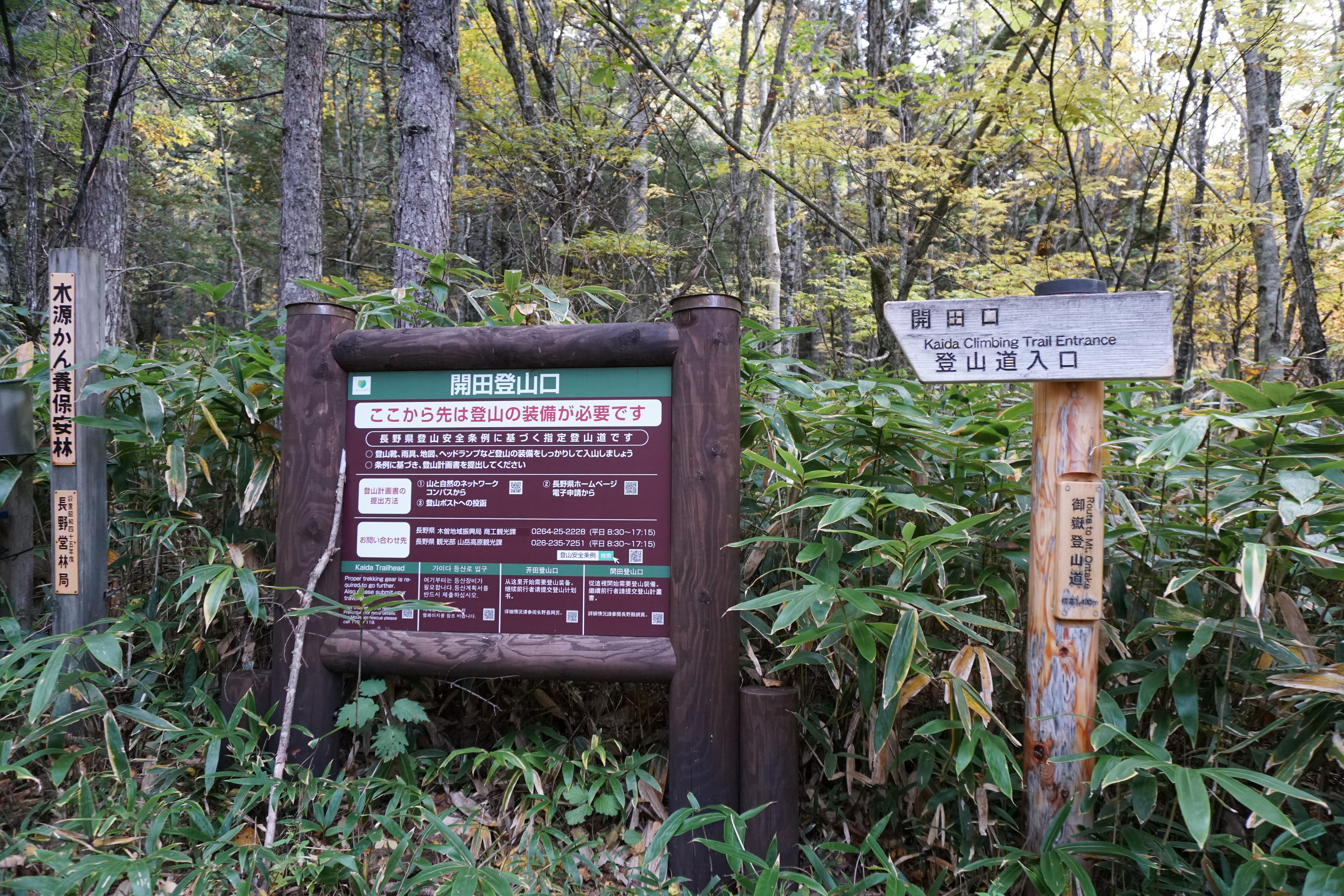
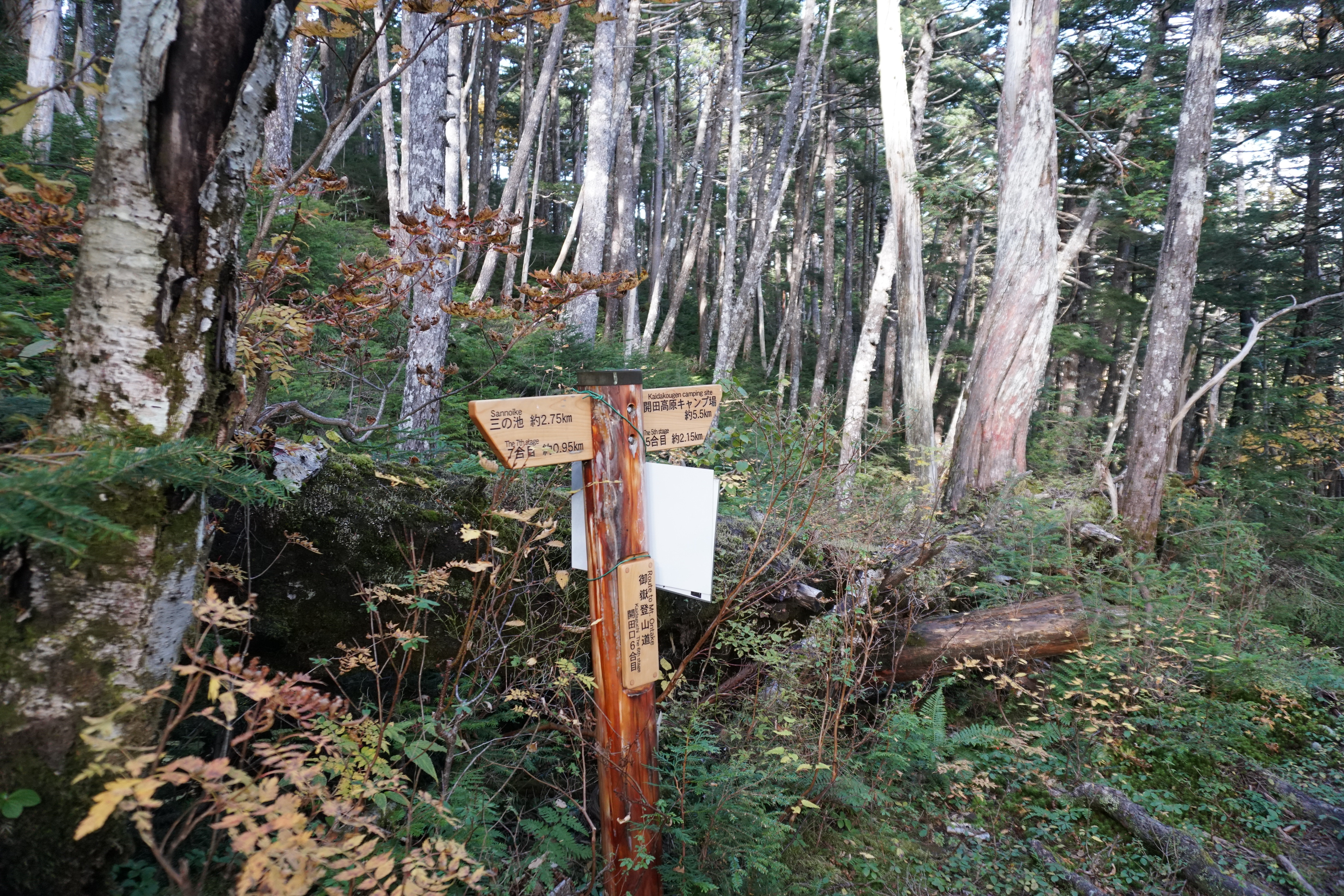
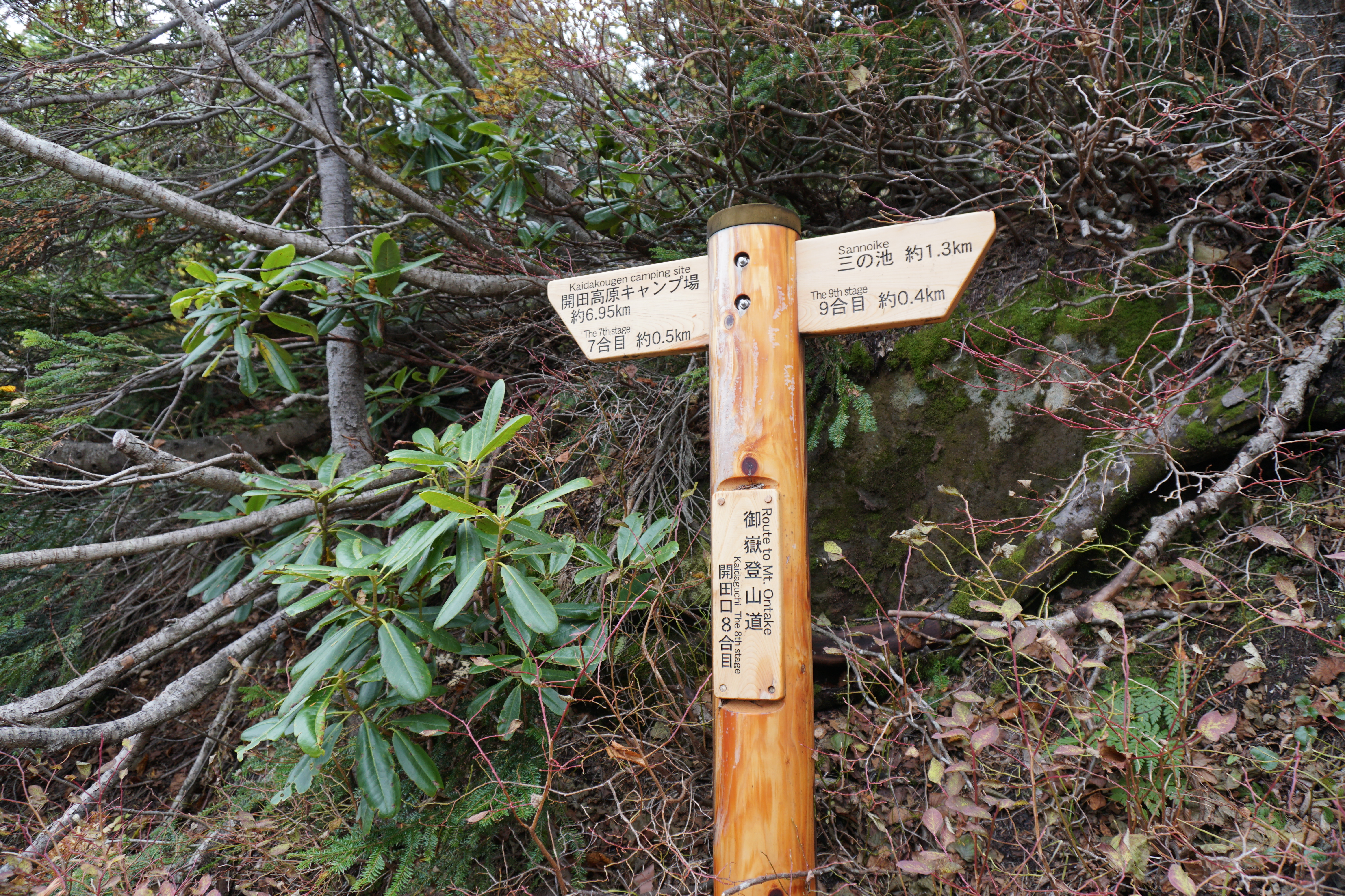
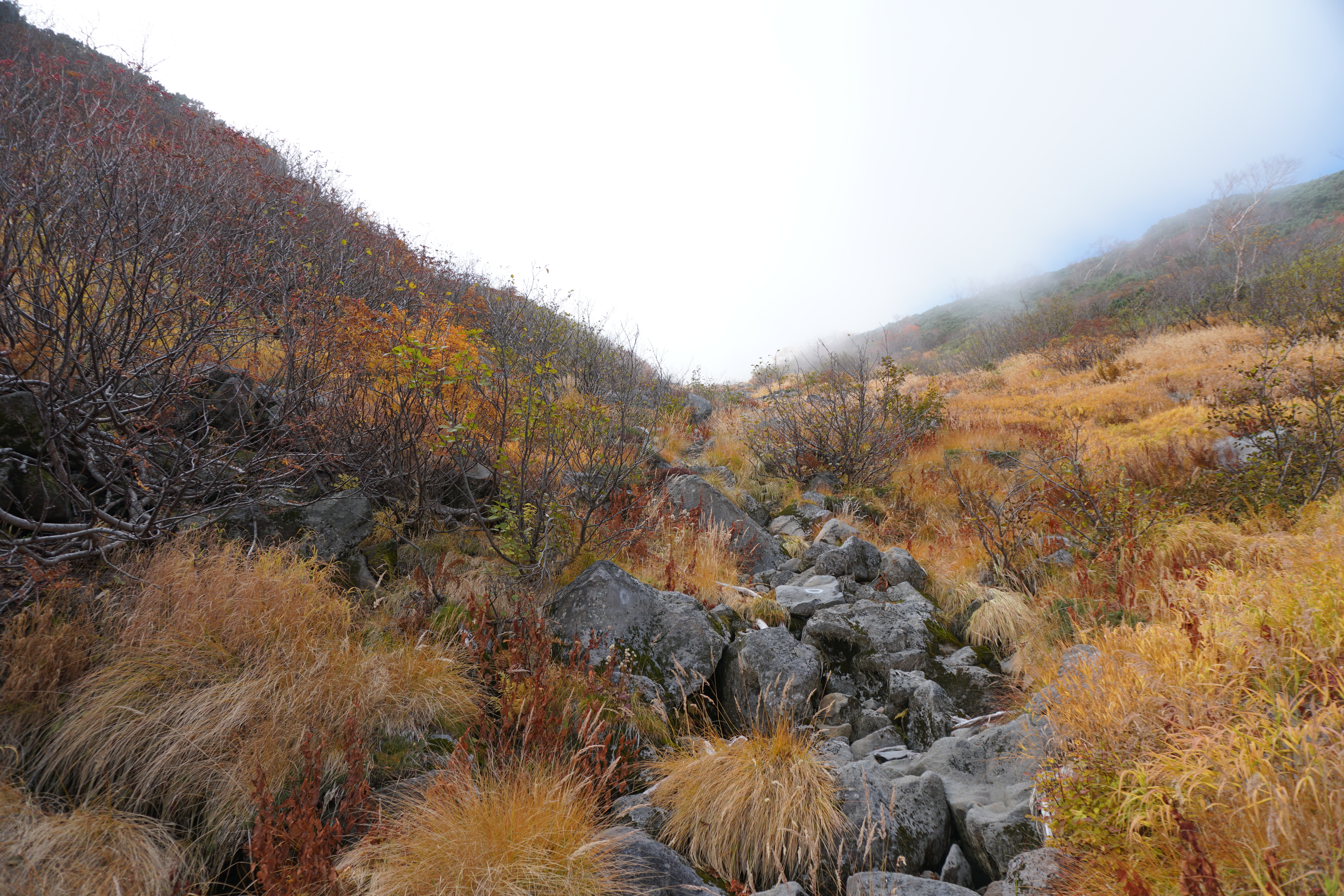
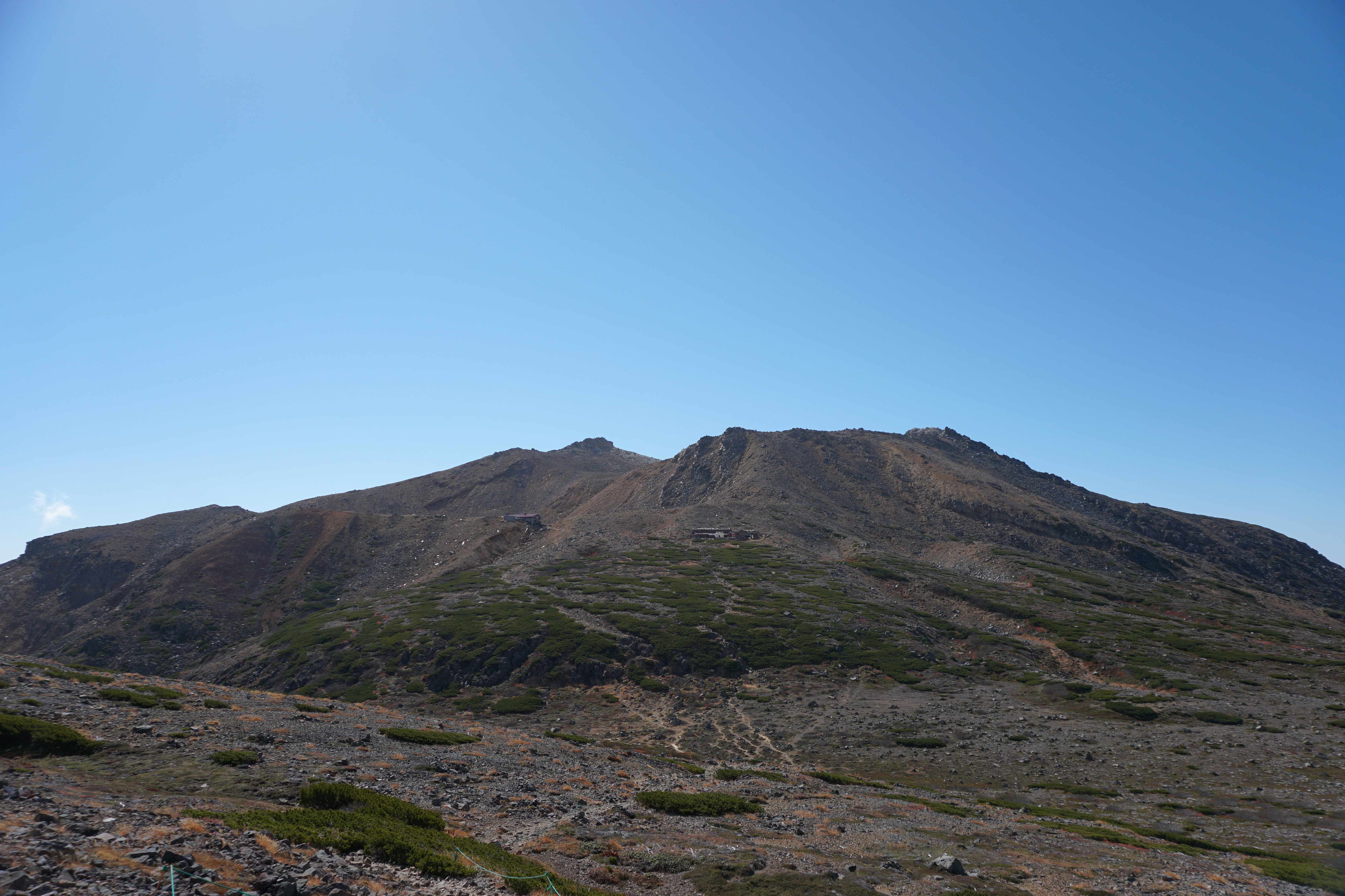
Submit a climbing registration sheet to the postal box set up at the trailhead. Start climbing through Abies Mariesii and cypess forest. 4th station is reached shortly. A torii, a gate entrance to a shrine, stands here. A place to replenish your water supply is available. Fill your water bottles if you are running low on water. After passing this point, the trail becomes very steep. Ascend in a zigzag pattern. 5th station is reached in about 1 hour after climbing through a deciduous forest. A wooden bench is set here, where you can take a break. Cross a dry stream and start hiking on the ridgeline. It is a steep slope so walk at a steady pace. After 6th station, the trail goes through some ups and downs. Cross a small stream when the trail comes to a plateau slightly on the side. This is 7th station, where an old emergency shelter used to stand. A road sign, showing 1.8 km to Sanno-ike, can be seen. Vegetation begins changing around this point. Pinus Pumila, Rowan trees, and Japanese Alders can be spotted. 8th station is reached shortly. After crossing the ridgeline on the left, the tree line will be crossed, and Alpine plants may be spotted at your feet. Kiso-azami, an endemic species, may be in bloom. The south edge of Sanno-ike will be reached after a short effort. This area is the summit of Kaida.
A trail, Sanno-ike-dou, which runs from the summit of Kaida towards Nyonin-do, is restricted due to collapsed areas along the trail. Proceed to Ken-gamine from the summit of Kaida. Follow the sign to Ken-gamine. From Saino-kawara Emergency shelter, hike south towards Nino-ike hut. After passing Nino-ike hut and Nino-ike-sanso Mountain hut, the trail comes to a junction of the trail towards Ken-gamine. Take the trail on the right. Ken-gamine is reached by following the road signs. You may descend the same trail used for ascending. Or you may descend Kurosawa-guchi trail and use the Ontake Ropeway.