Norikura Kogen Route
② Suzuran bridge ~ Hiyamizu-koya Mountain hut ~ Kurai-gahara-sanso Mountain hut ~ Katano-koya kuchi ~ Katano-koya Mountain hut ~ Mt. Ken-gamine/ Highest Peak of Norikura Mountains ~ O'hana-batake junction ~ Tatami-daira
Technical level: B
Physical strength level: 4
Difficulty level: ⛰️⛰️
This route starts from Norikura plateau, a famous plateau resort.
●Hiking Data
Schedule: One day or One night and two days
Walking Time: 6 hours 45 min
(Up: 5 hours 30 min, Down: 1 hour 15 min)
Walking Distance: 11.0 km
Difference in elevation: 1,530 m
Hiyamizu koya Mountain hut
Elevation 2,230m
↓ 30 minutes
Kurai-gahara-sanso Mountain hut
Elevation 2,350m
↓ 1hour 15 minutes
Katano-koya kuchi
Elevation 2,600m
↓ 30 minutes
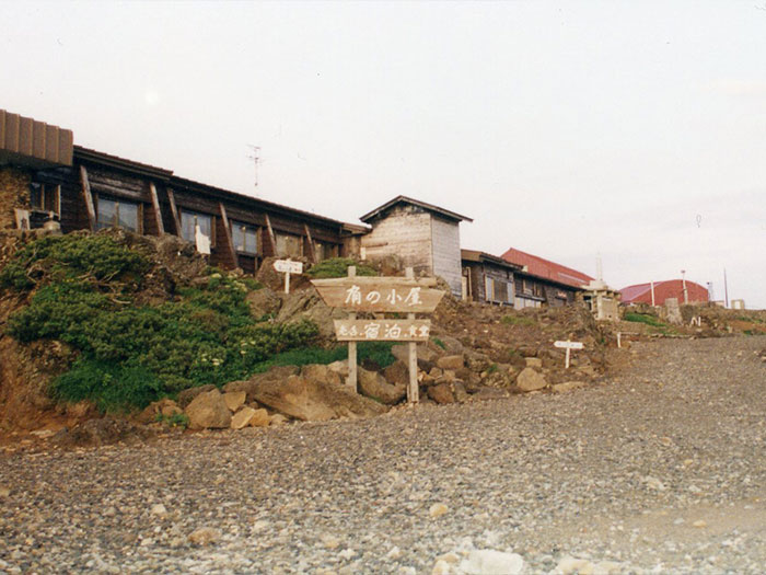
Katano-koya Mountain hut

Elevation 2,800m
↓ 50 minutes
Tatami-daira

Elevation 2,700m
Route Guide
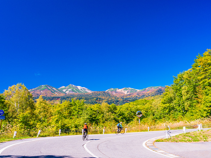
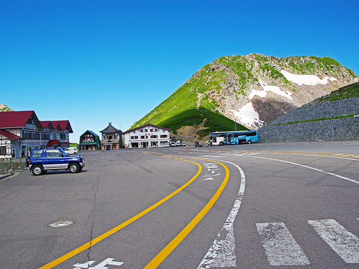
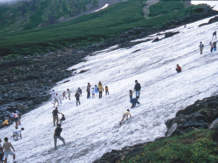
Suzuran bridge is a starting point for this route. Do not cross the bridge but proceed on the trail through a ski hill. Ascend while traversing through a larch forest. In about one hour, Sanbon-daki junction is reached. If you hike south from the junction, you can make a circle around the plateau. This time, go straight towards Mt. Norikura-dake. The trail gets on a ridgeline and becomes slightly steep. Abies veitchii can be spotted along the trail. Walk at a steady pace. Cross Norikura-eko-line, which runs in a zigzag pattern. Local buses run on this road as well as many cyclists in these days. Pass with caution. After passing Hiyamizu-koya Mountain hut, which is closed currently, the trail becomes covered by Betula Ermani and Alders. Kurai-gahara-sanso Mountain hut is reached in about half an hour. After passing the hut, Rowan trees can be spotted along the trail. The tree line is very close. Be careful not to slip in early summer, when snow may still remain. There will be no need of crampons, however. Follow the ink on rocks or pieces of cloth on tree branches as a guide. Ascend to Katano-koya bus stop. Climb on the slope of snowy valley. Katano-koya Mountain hut is reached in about half an hour. The trail from Tatami-daira merges from the right.
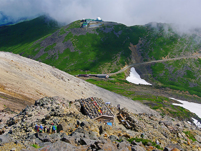
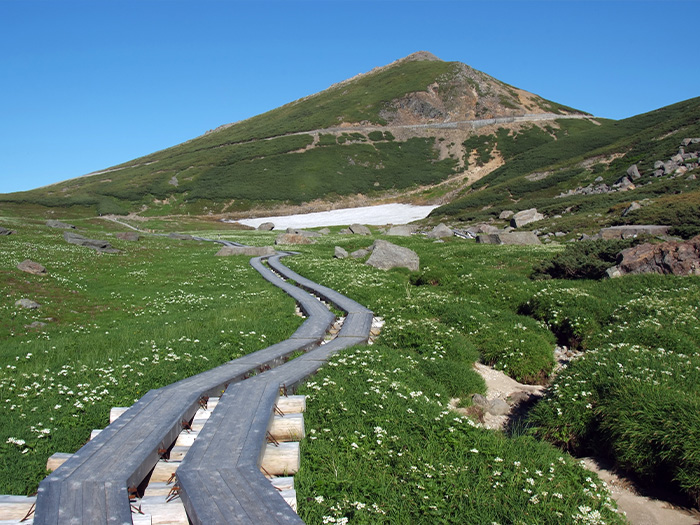
After a break at Katano-koya Mountain hut, please hike to Kenga-mine. Climbing the rocky zone, the trail leads to the side of Chojo-koya Mountain hut. The summit will be reached with a short effort from here. The view is great from the summit so stay and enjoy the view as long as possible. Descend to Katano-koya Mountain hut by the same route used for ascending. From the hut, descend towards Tatami-daira direction. You may proceed straight to Tatami-daira, however, it is recommended that you take the trail on the left at the junction of the ridgeline of Mt. Fujimi-dake. This is a straight line trail, which leads to a flower field below Tatami-daira.


