Ni-no-tani Ascending – San-no-tani Descending Route
Ni-no-tani Ascending – San-no-tani Descending Route
Technical level: C
Physical strength level: 4
Difficulty level: ★★
Enjoy hiking a rich variation of terrain on the standard Mt. Kohideyama route.
●Hiking Data
Schedule: One day or 1 night 2 days (night in the evacuation hut)
Walking hours: 8 hours 50 minutes(Up: 5 hours /Down: 3 hours 50 minutes)
Walking distance: 12.37 ㎞
Difference in elevation: 1,373 m
Route Guide
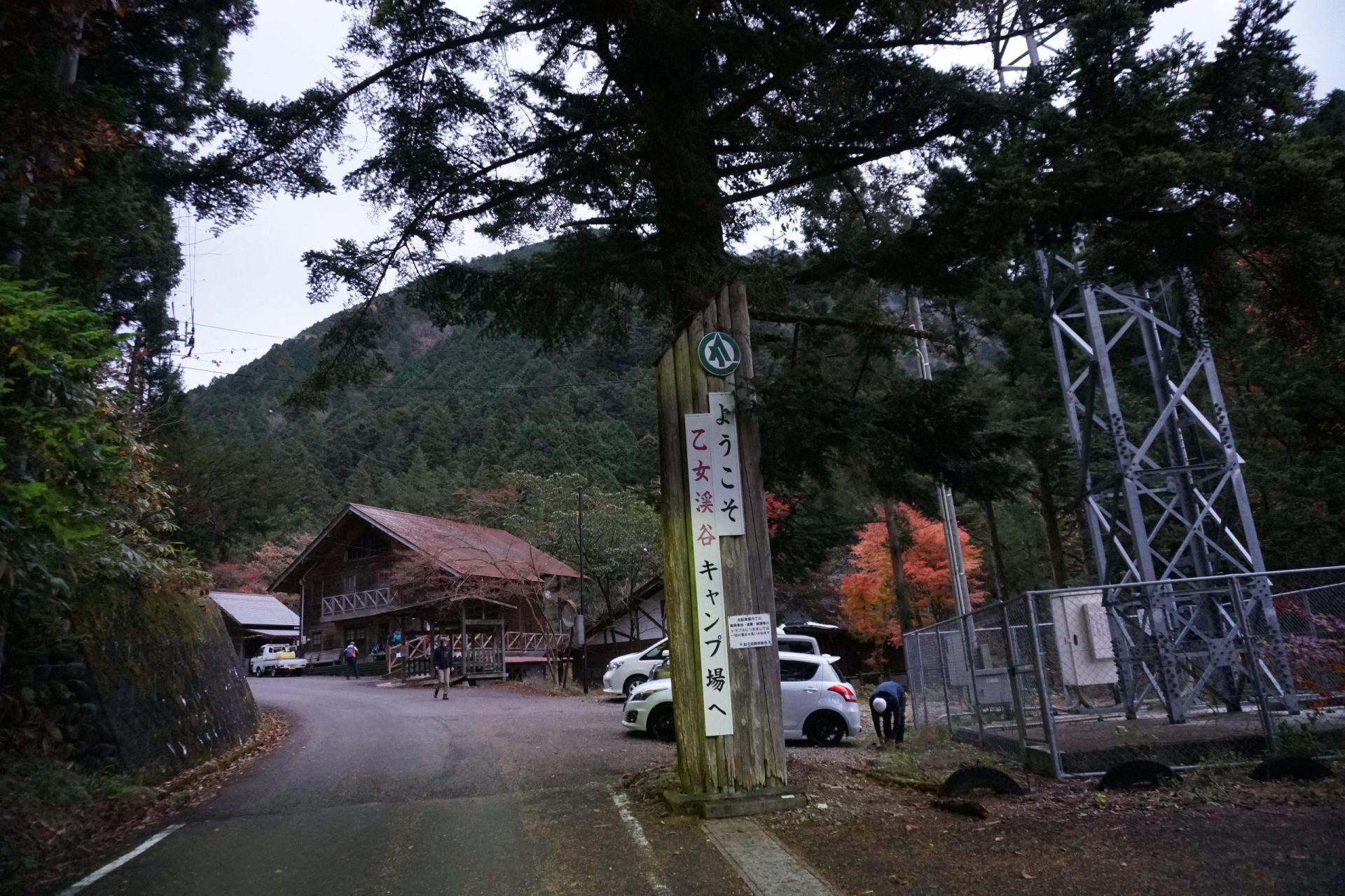
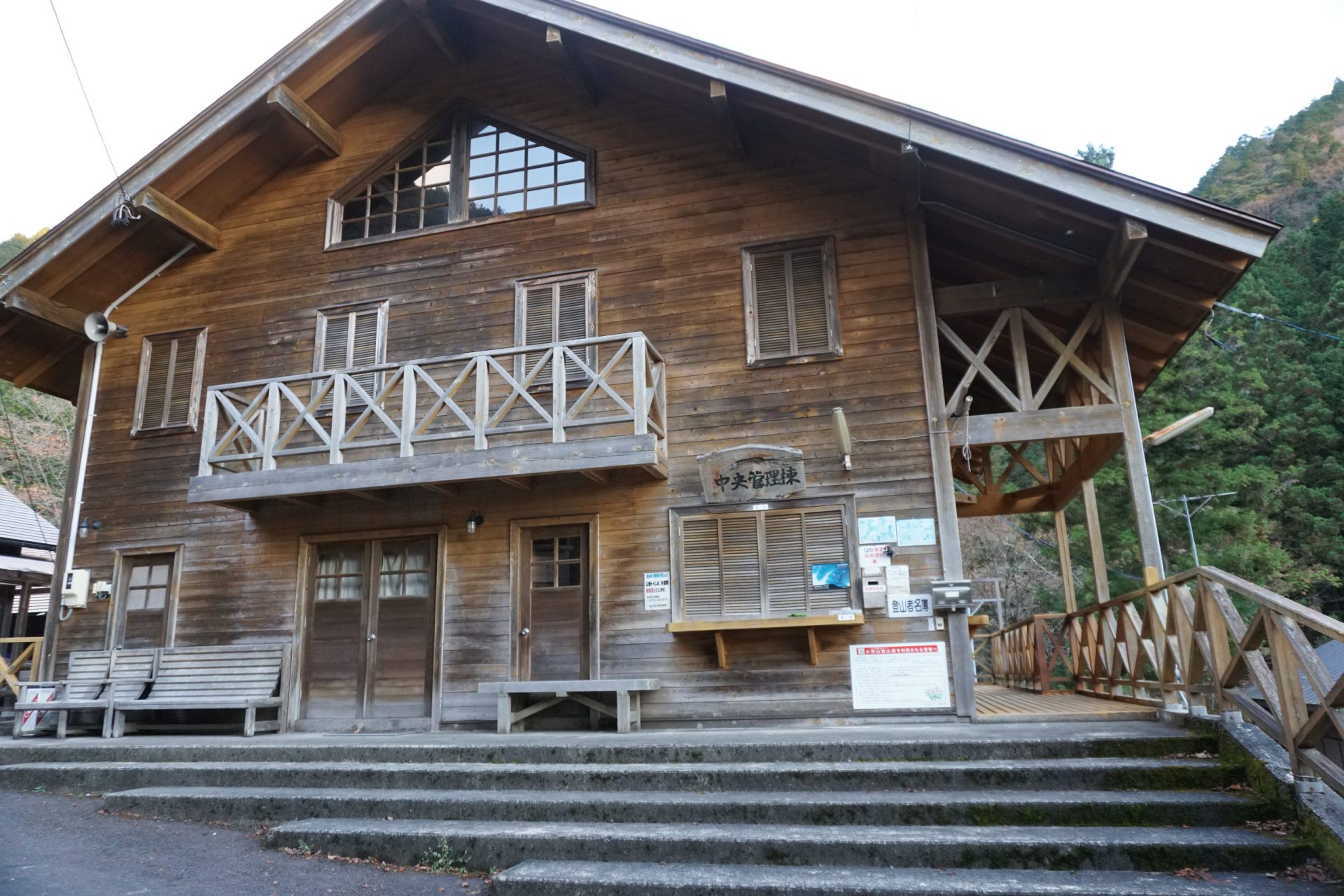
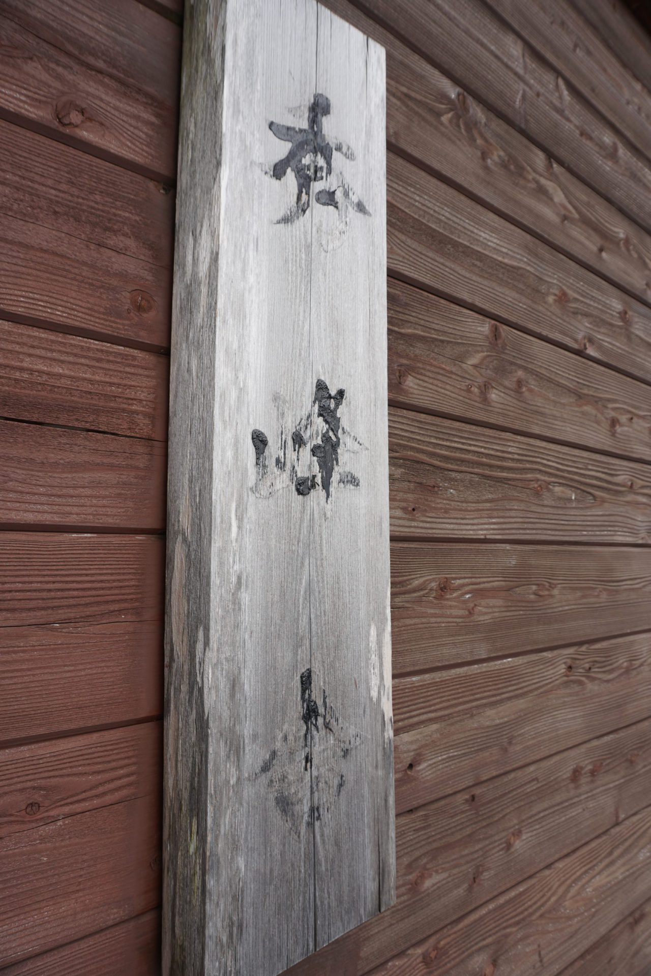
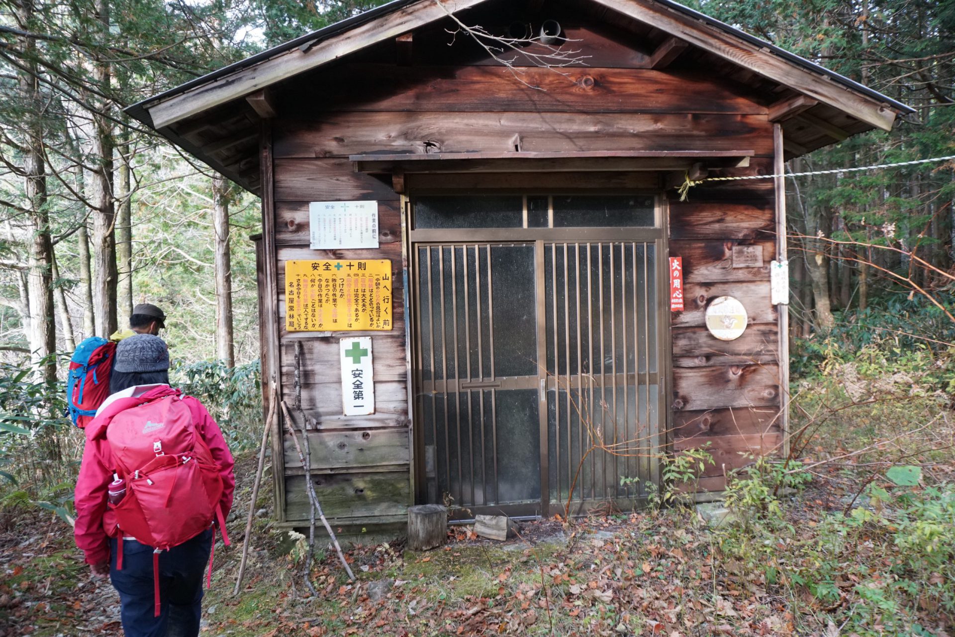
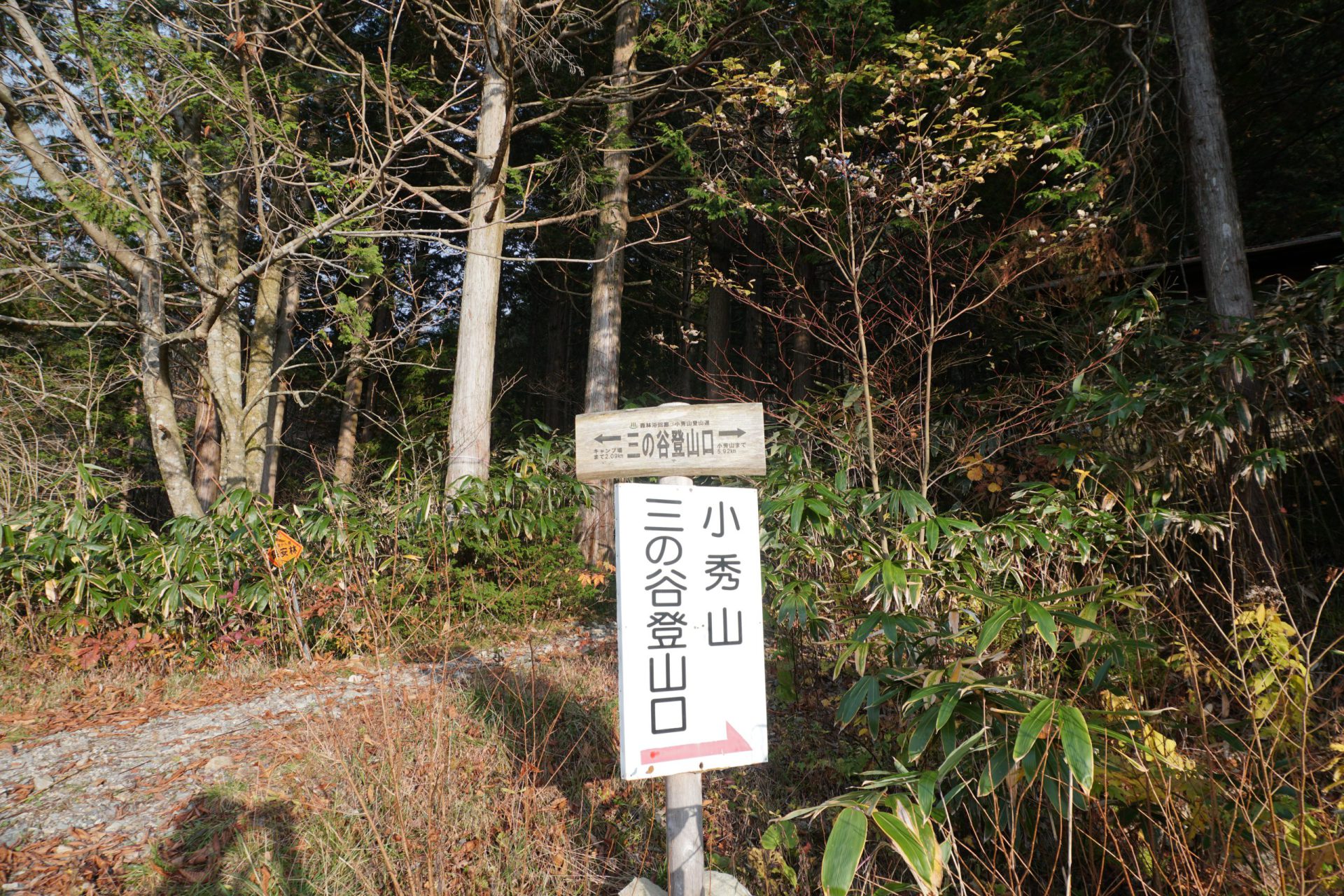
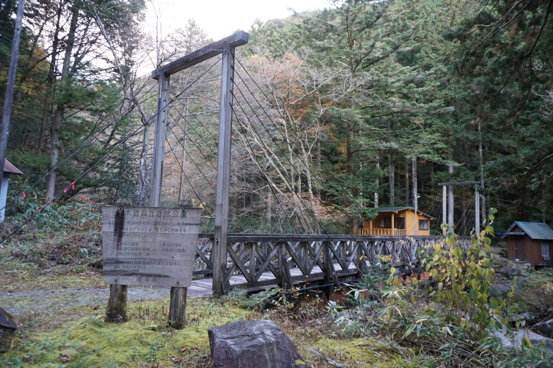
Pay the parking lot fee at Otome Keikoku’s central management hut and submit your hiking registration form, then follow the path that runs along the side of the building, and when you cross the river, you will be at the Ni-no-Tani trailhead.
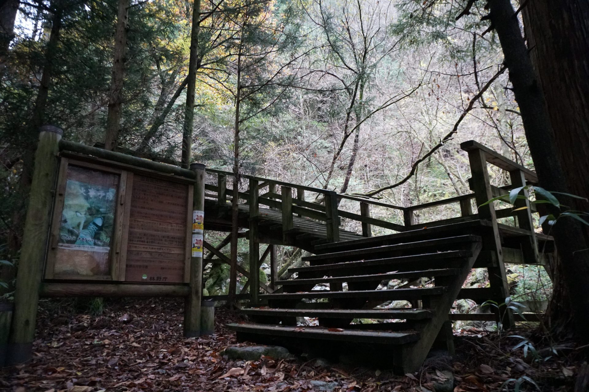
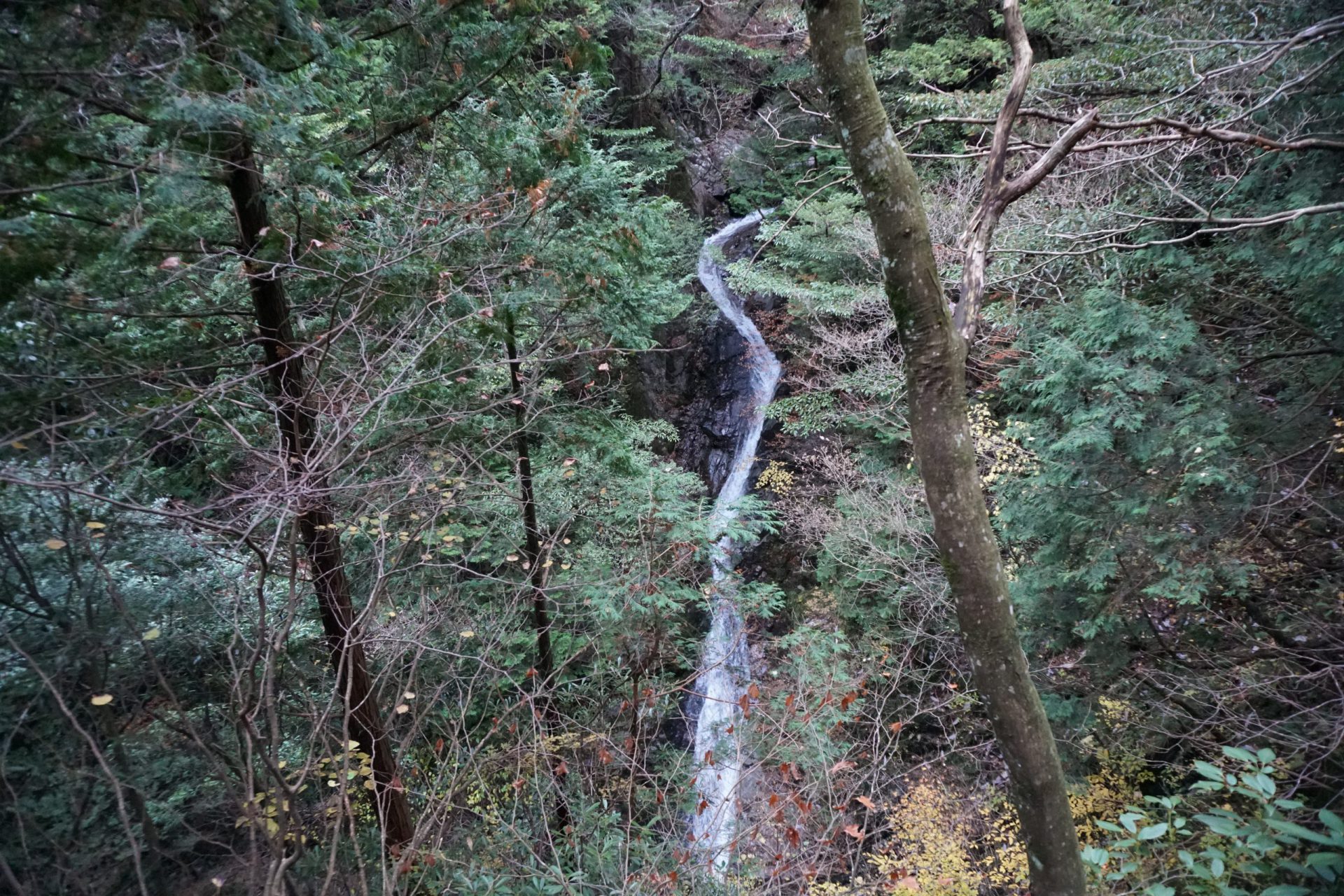
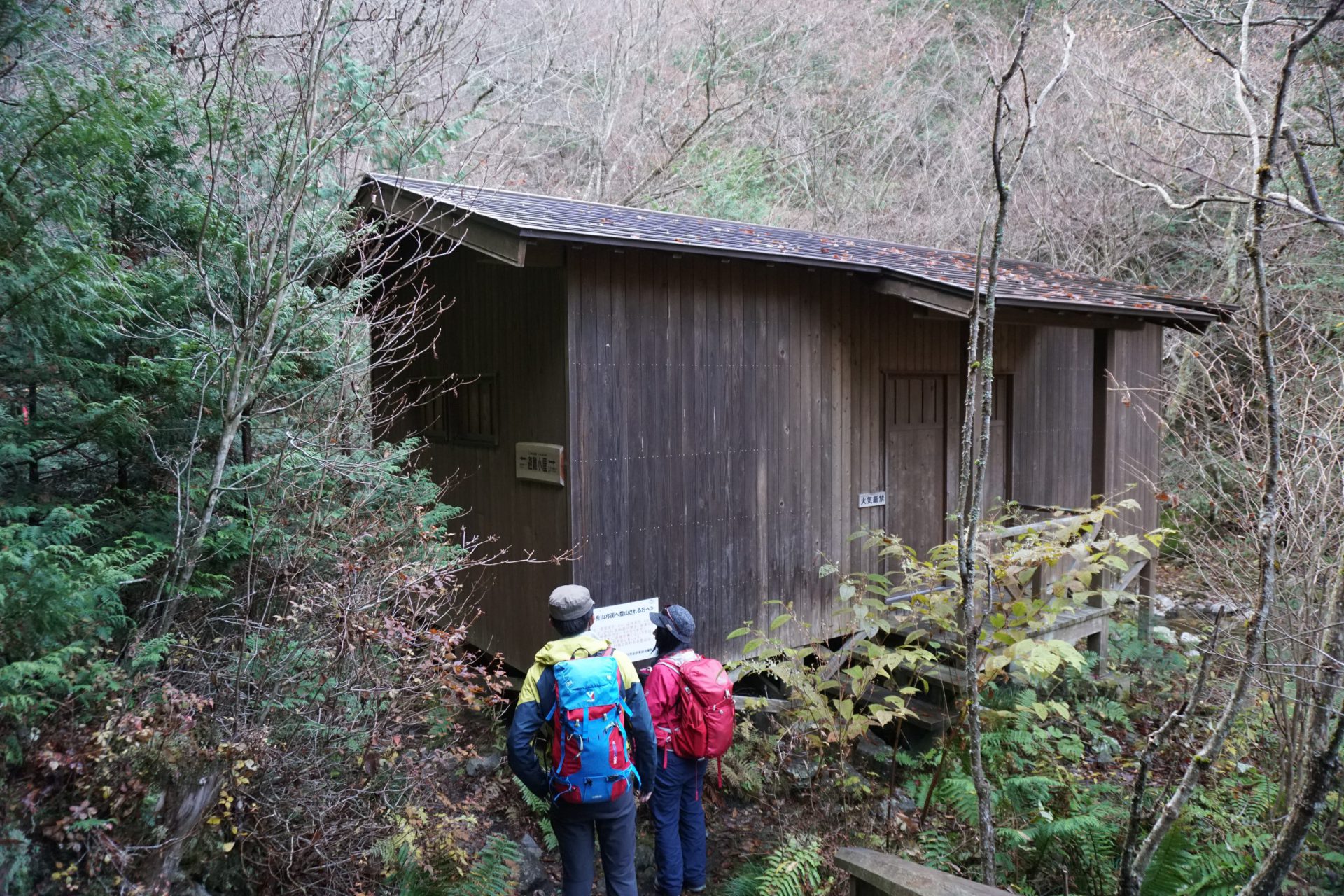
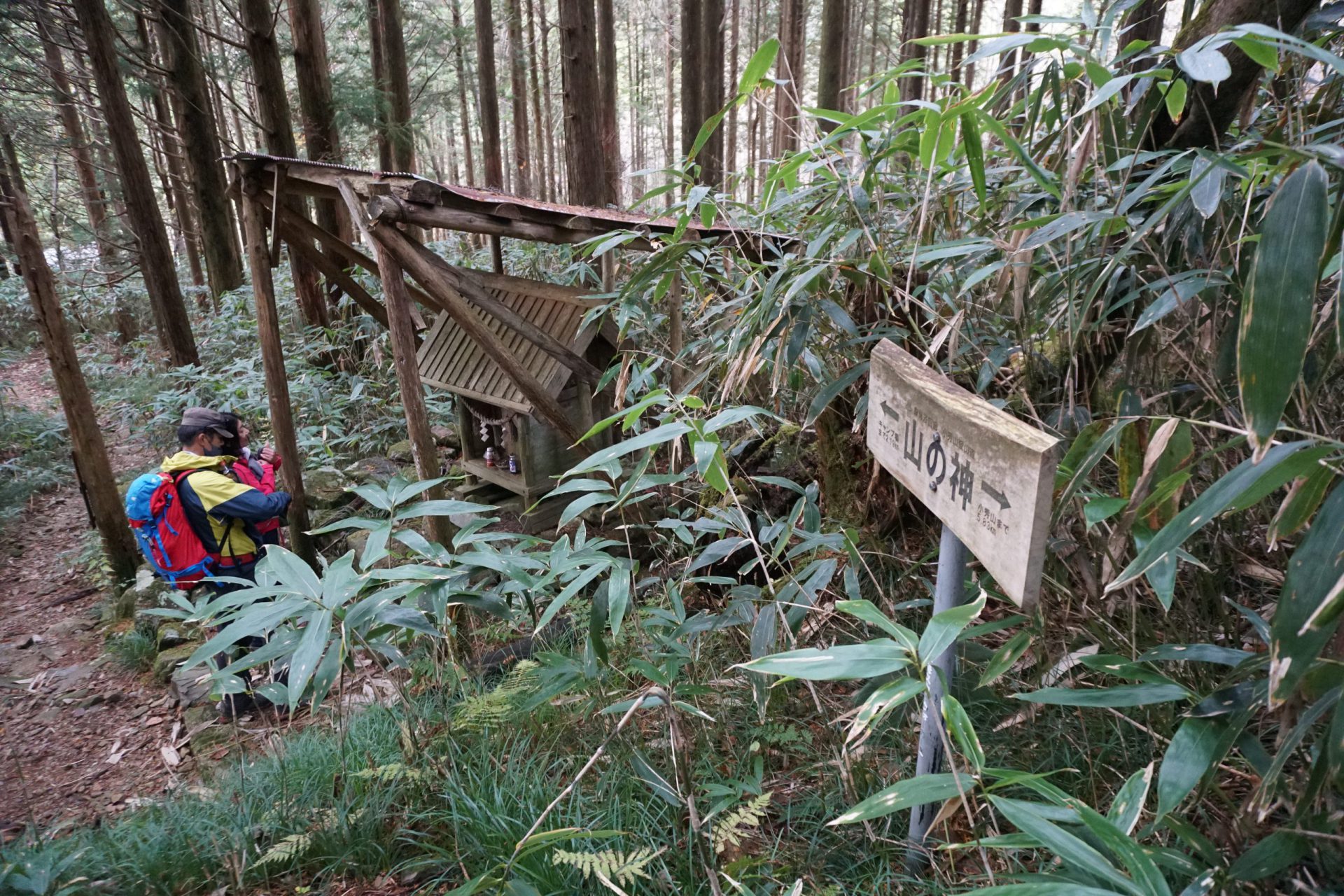
The hiking route for Otome Keikoku, one of the most scenic spots in Urakiso Prefectural Nature Park, also starts here. A wooden path has been constructed here that runs along the gorge and its beautiful flowing water, and it bustles with families in spring to see the new greenery, summer to escape the heat, and autumn to view the leaves changing color. This wooden path stretches for an hour and a half beyond the shelter that sits along the path all the way to Meoto Falls, enabling access to scenic spots that you would otherwise be unable to access on foot. It makes one think of all the hard work that was put in by those involved in the park’s maintenance. The wooden path is constantly wet and slippery, and many people actually fall and injure themselves here, so please proceed with caution.
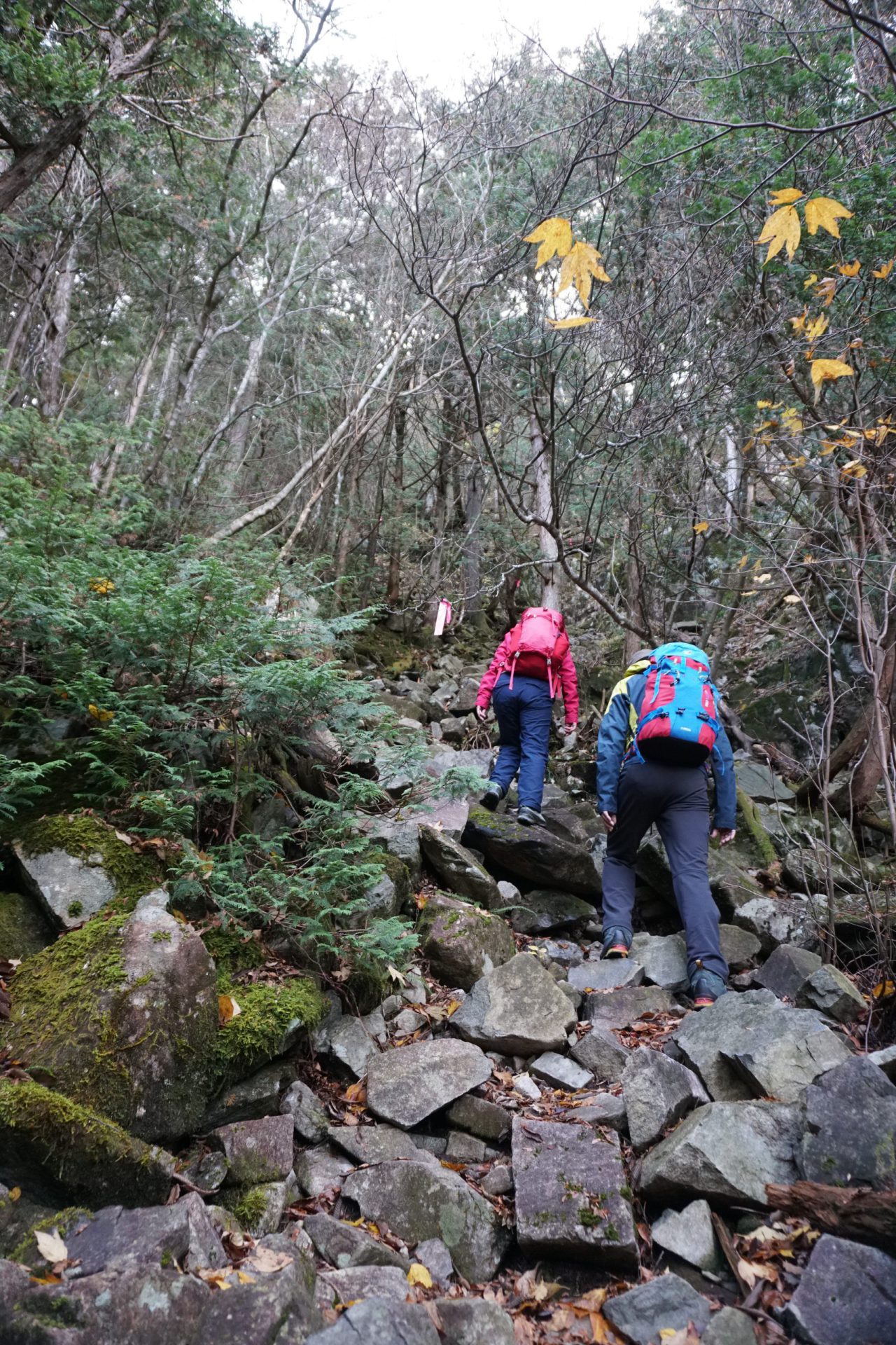
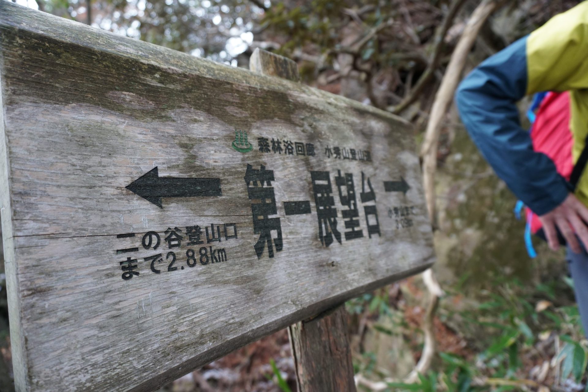
Once you pass Meoto Falls, the serious mountain hike begins. The Ni-no-Tani route is a 1000-meter steep rise in elevation that continues for 4-kilometers, so please prepare yourself. After passing Mago Falls, you will see a giant boulder shaped like a shield. You will then pass observation points one and two and continue even further to the most difficult location on the hike, Kamoshika-watari, meaning “serow crossing,” which is a 7-meter-long vertical rock face. There are no chains, but there are hand and footholds, so do not be afraid and take your time climbing. You will then pass the junction with the San-no-Tani route and continue climbing the steep slope, but once you reach the top of the steep rocky terrain, you will arrive at Kabuto-iwa, which means “helmet boulder.”
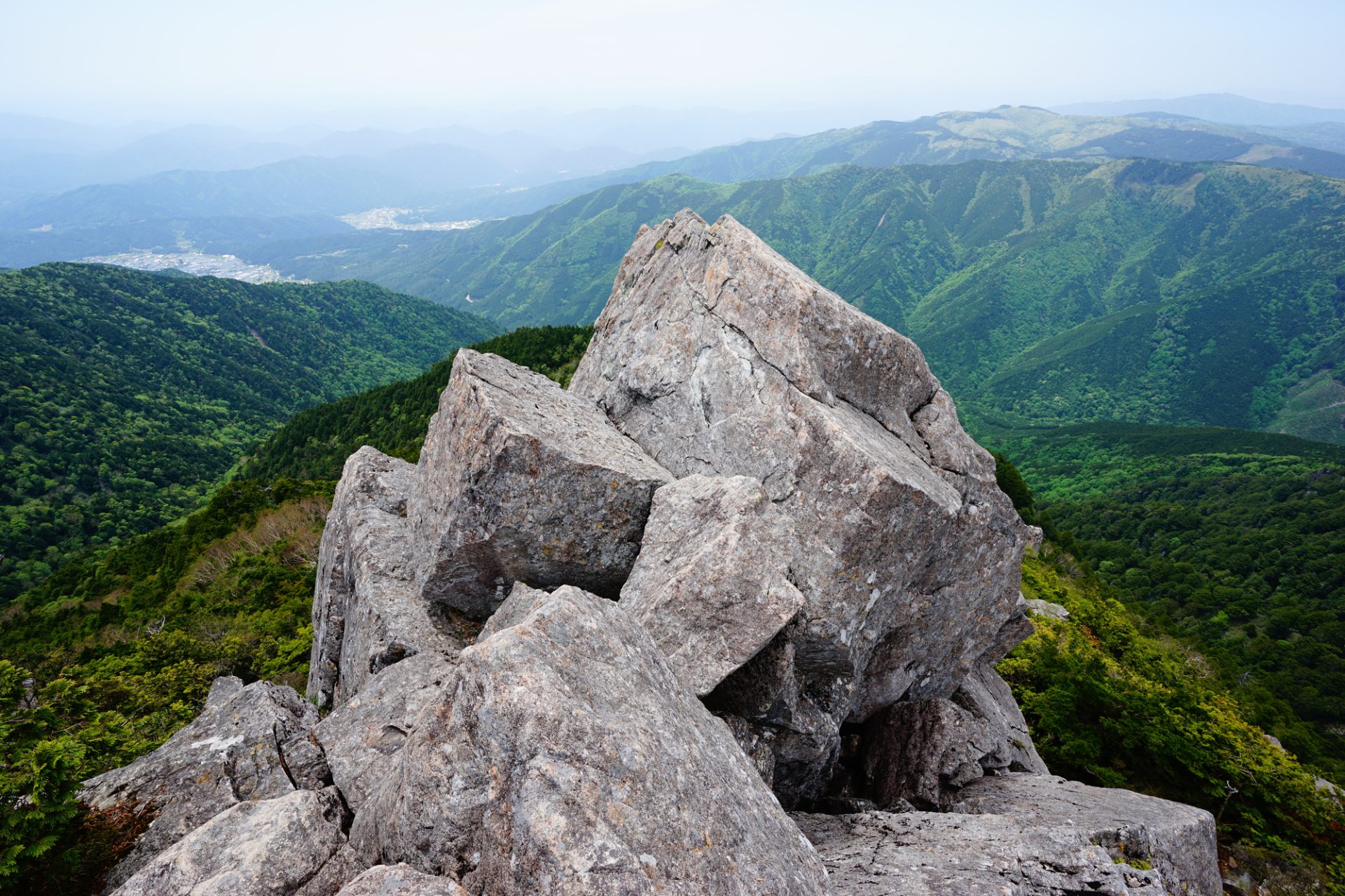
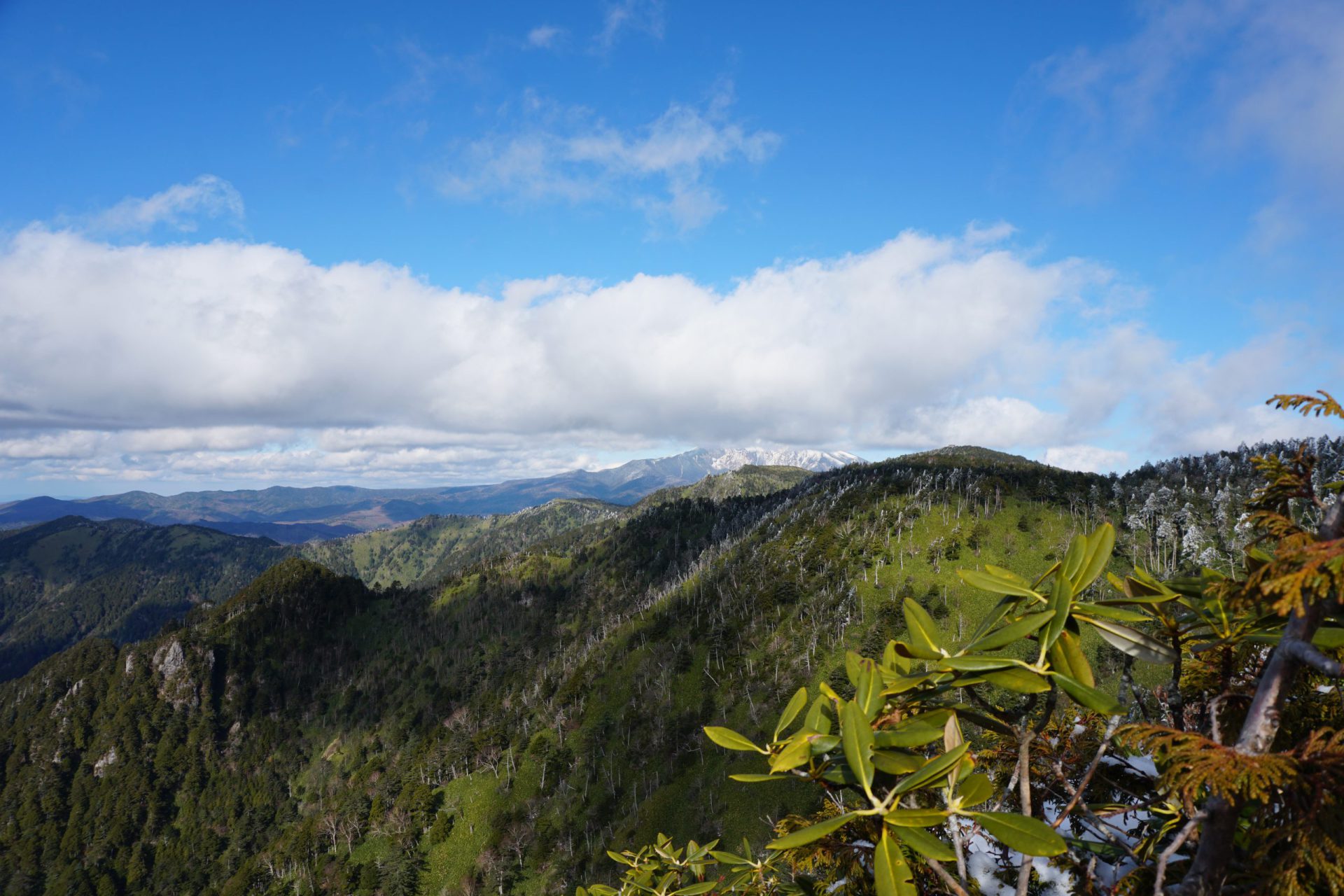
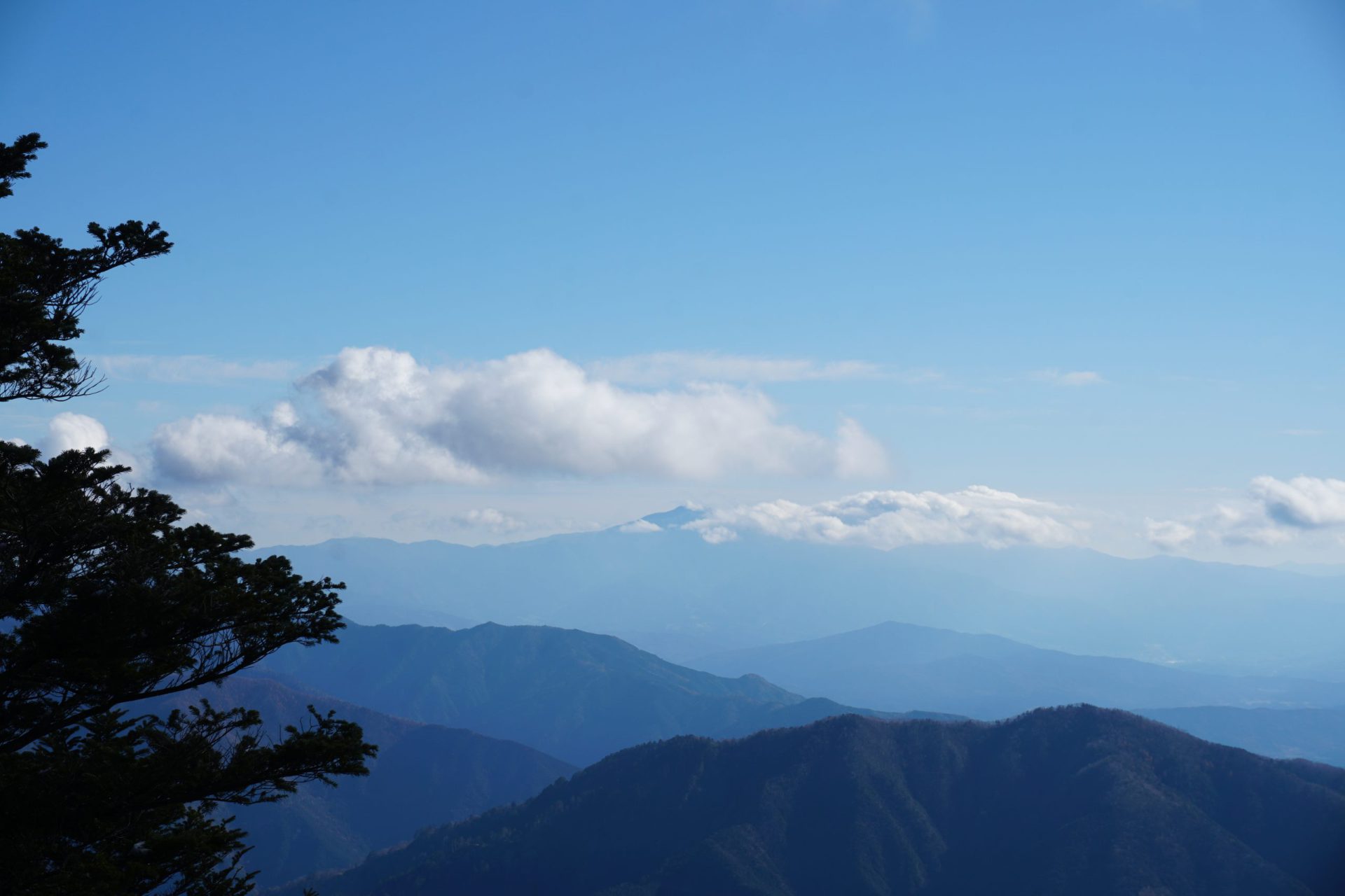
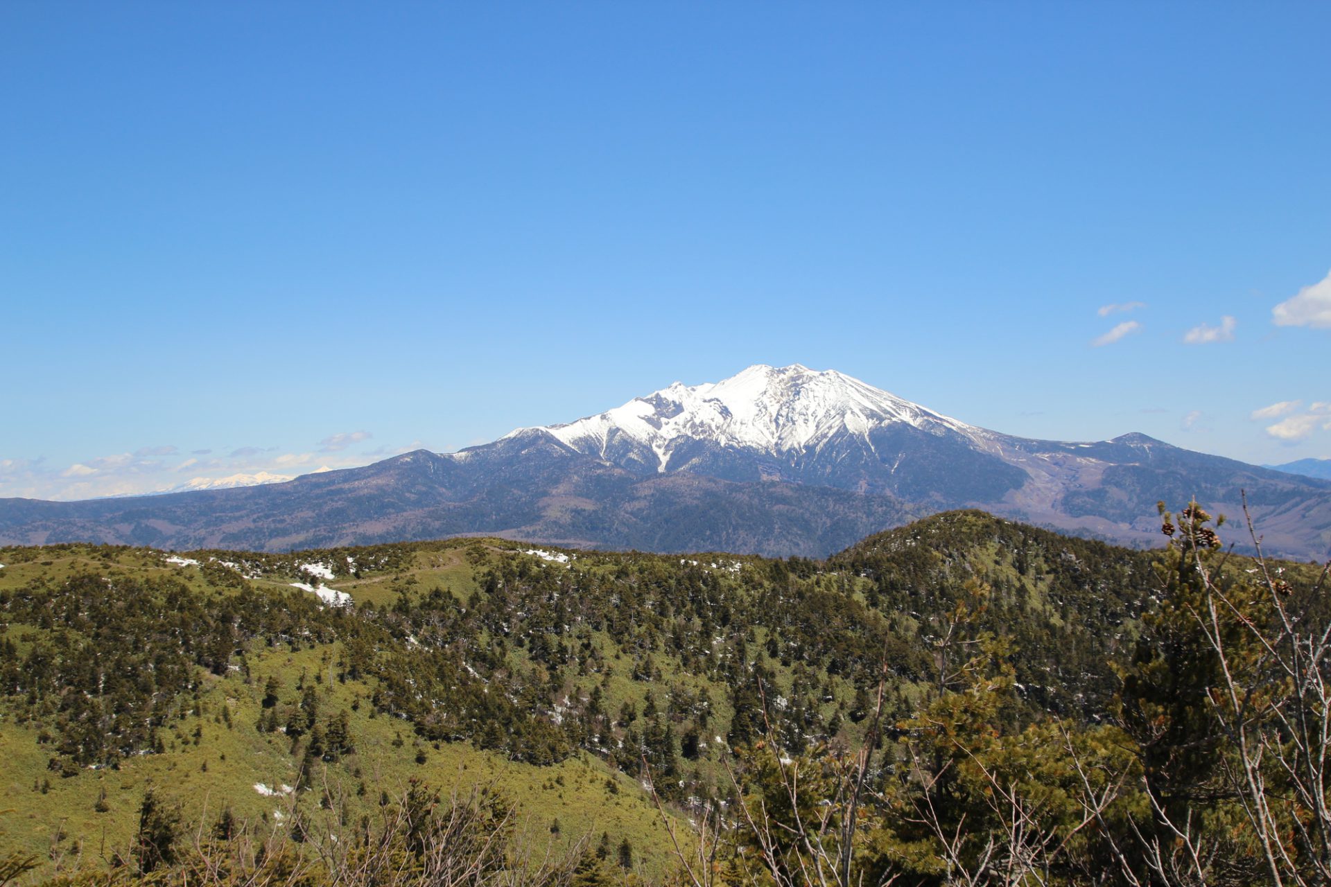
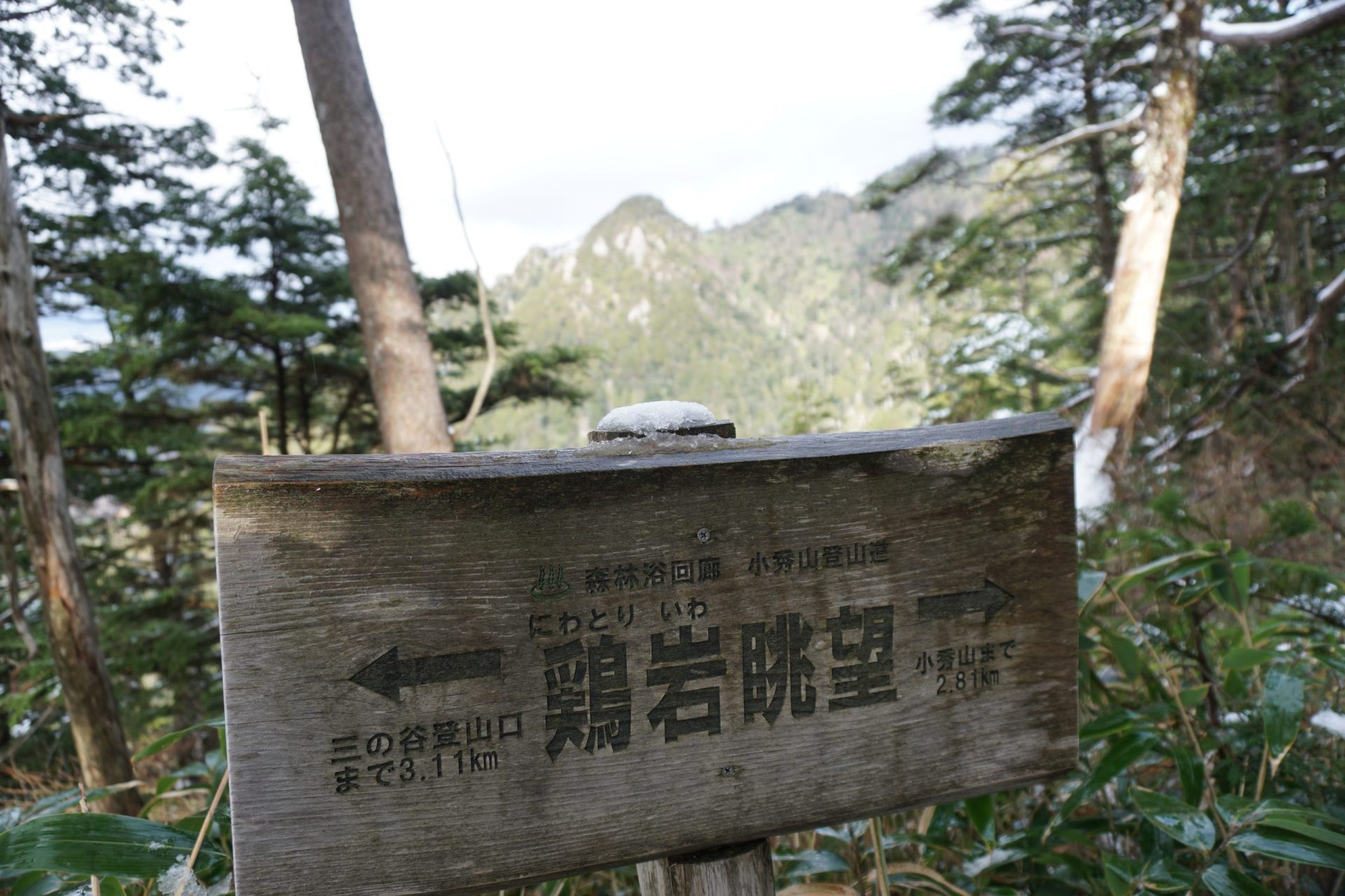
The hike up to this point was probably fairly nerve-wracking, so let’s take a short break here. The western view is particularly open here, but if you look to the north, you can see the Ontake mountains. If you give the northern direction an even closer look, at the end of the mountain range to the right, you will find the shelter at the summit of Mt. Kohide-yama. Here you will probably notice that there are no more steep climbs ahead. From here, the trail is completely different to what you have climbed thus far, and it becomes a gentle hiking route.
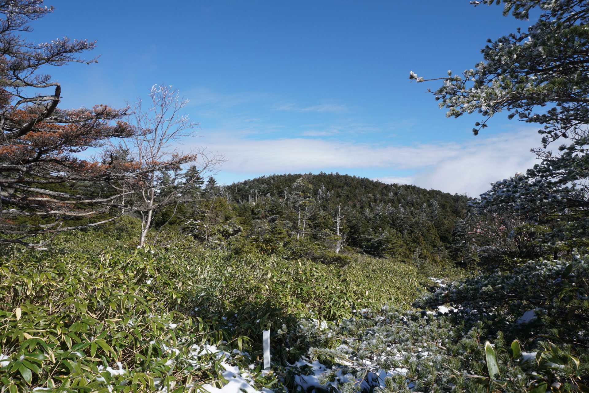
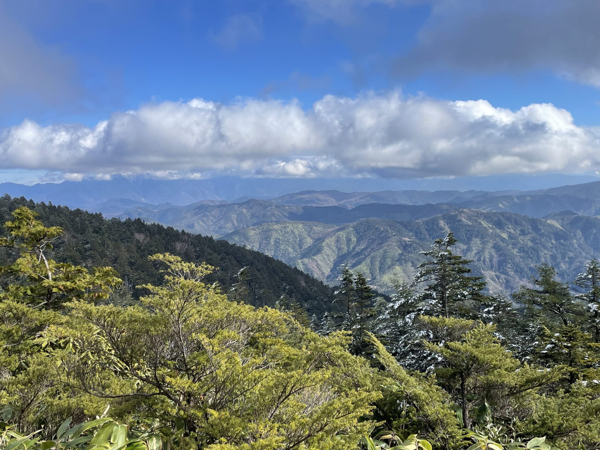
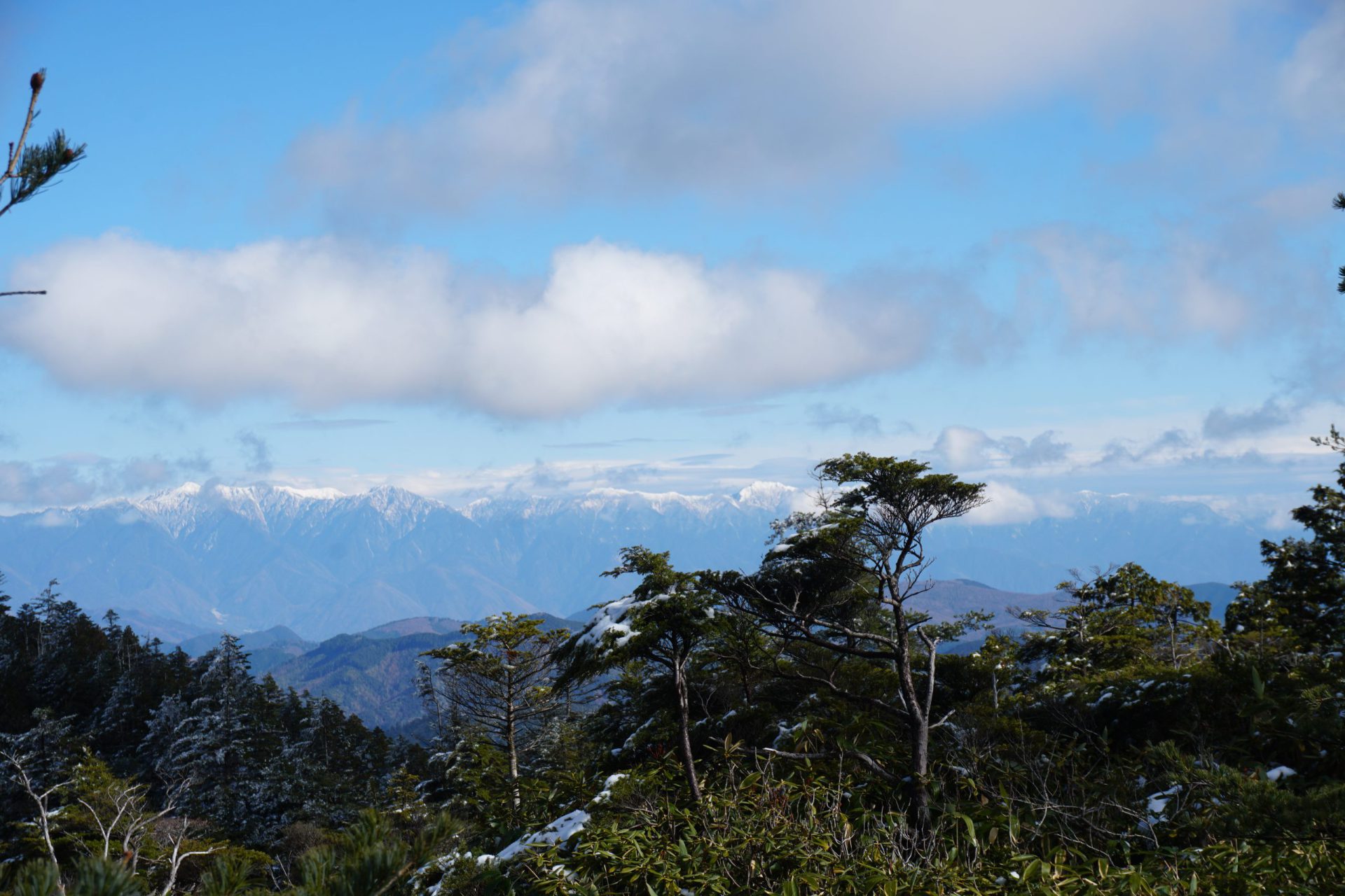
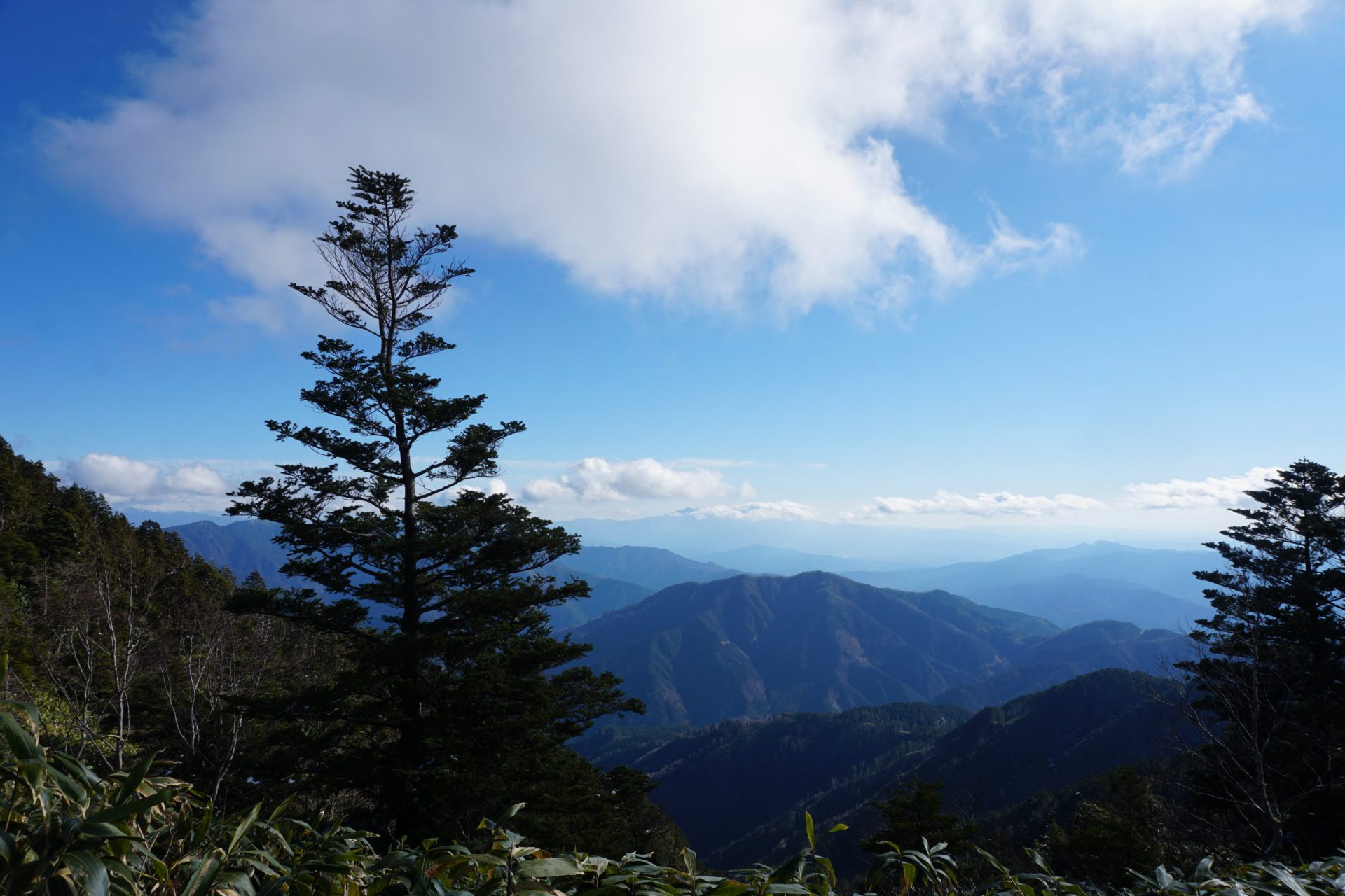
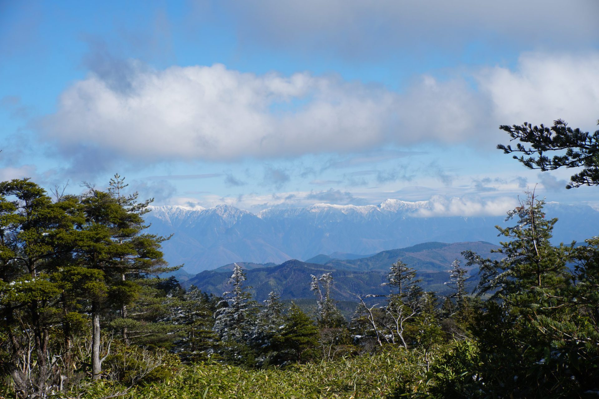
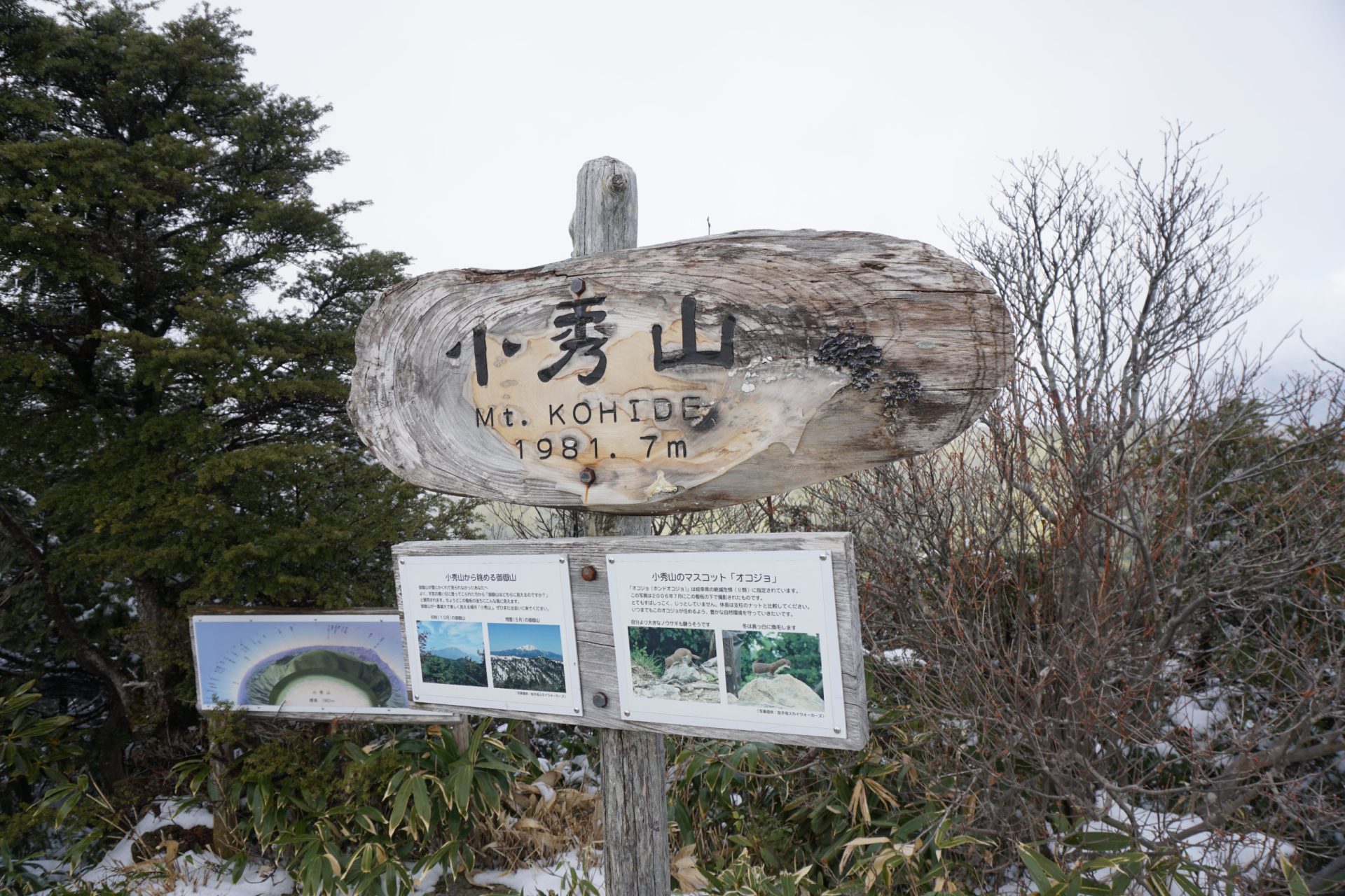
The trail alternates between a treeless plateau and a wooded area. In just under an hour and a half you should arrive at the shelter at the summit of the mountain. The summit is directly to the right of the shelter. The view from the summit is nothing short of spectacular with the entire base of the Ontake mountains spreading before you and the Central Alps to the right.
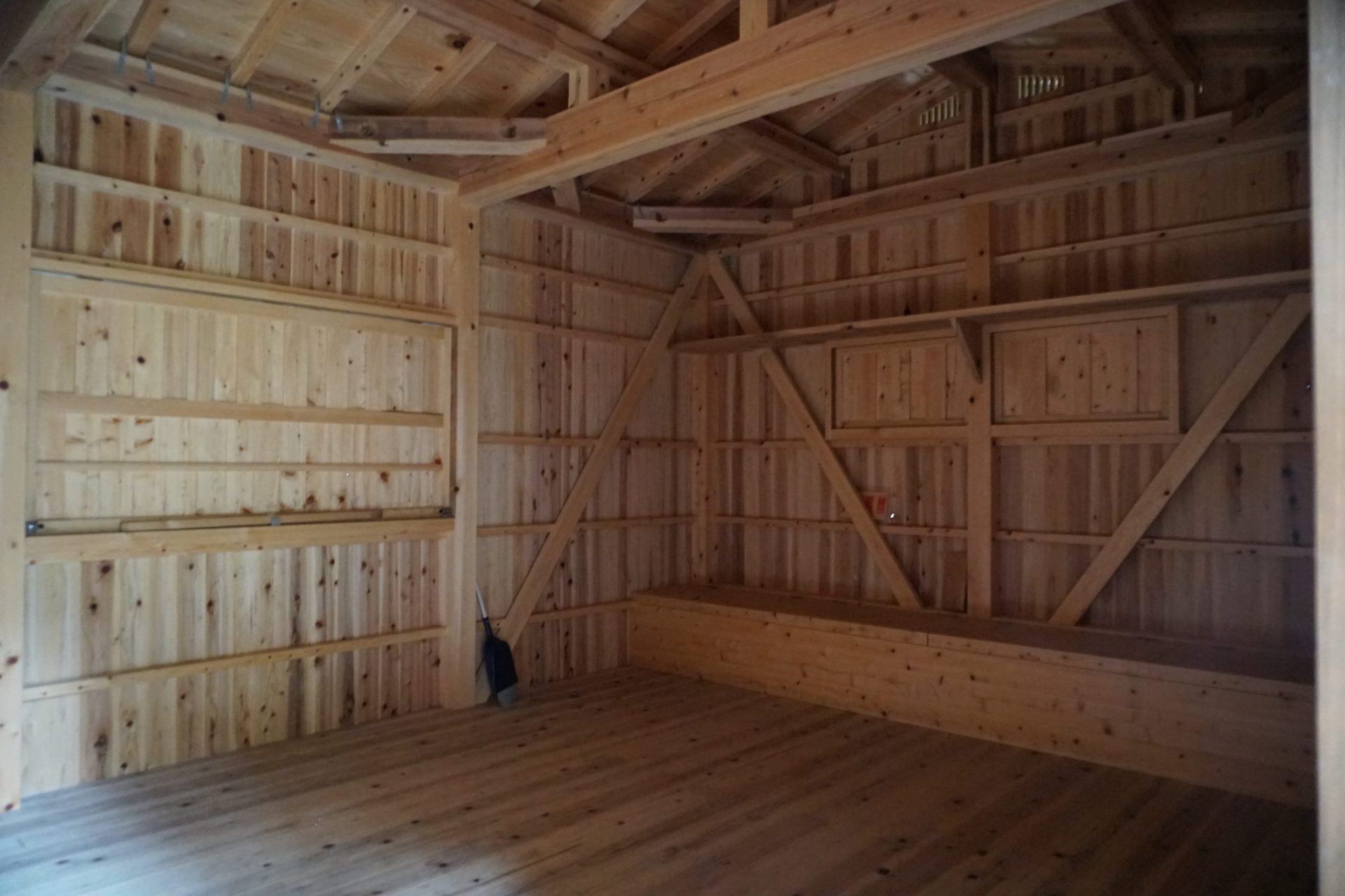
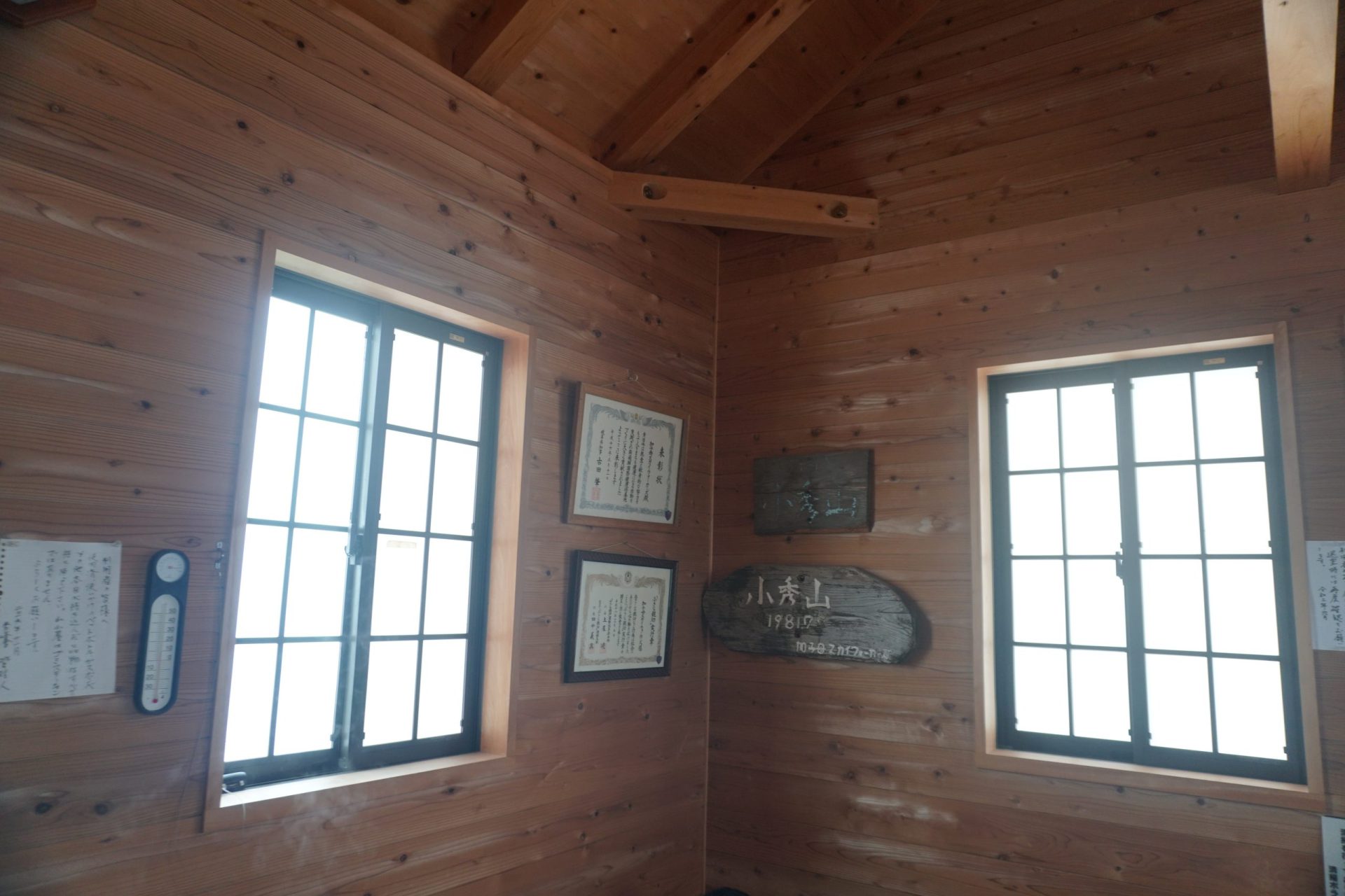
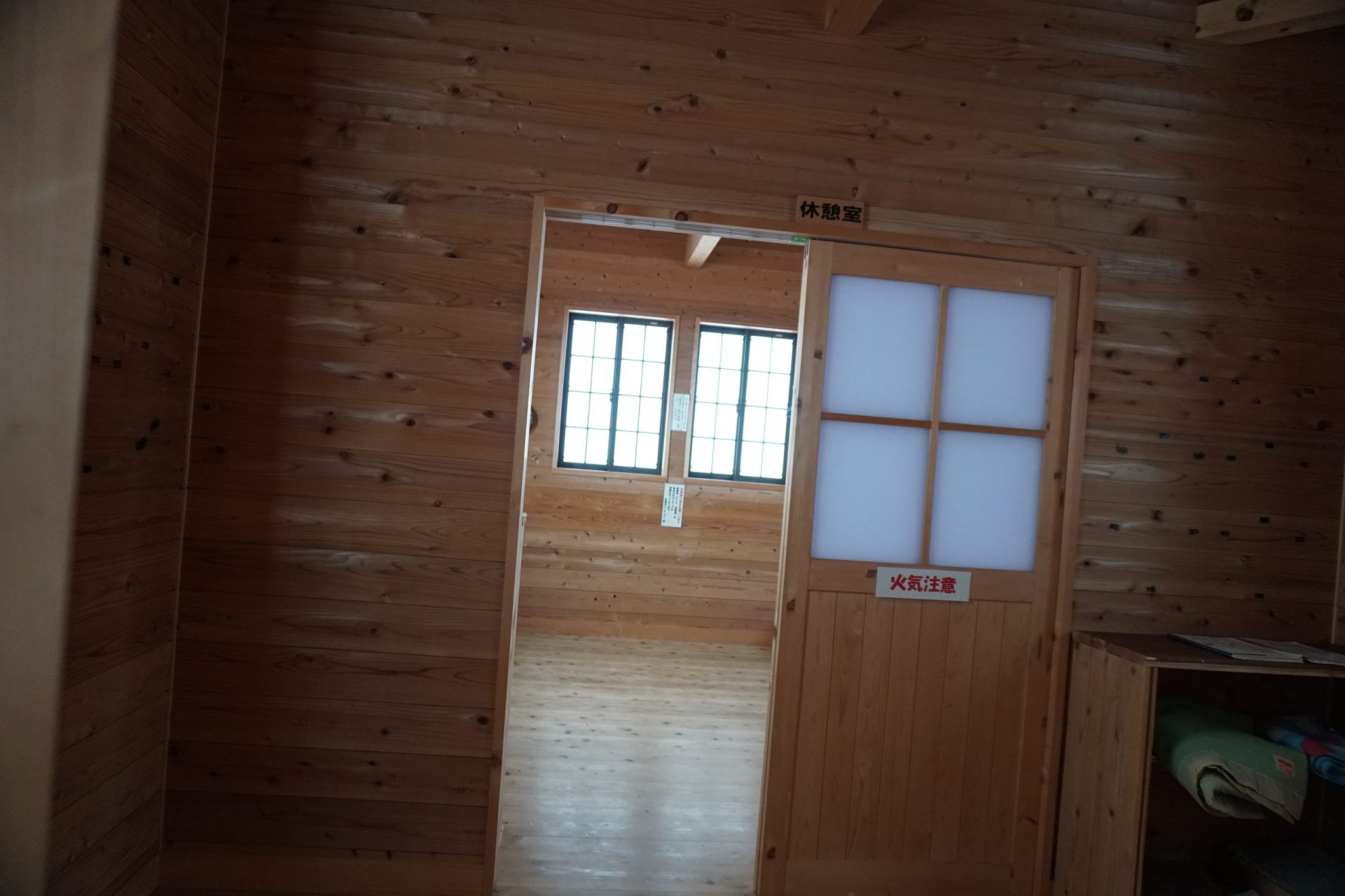
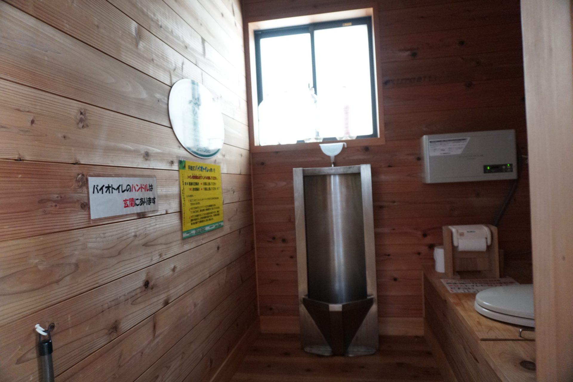
This shelter is called “Shuho-sha,” and it is a beautiful, new unmanned hut built by the city of Nakatsugawa in 2010. It is equipped with a bio-toilet, and it seems some hikers even come here for the sole purpose of spending the night in this shelter. If you use it, please make sure to leave some money to help with maintenance and upkeep.
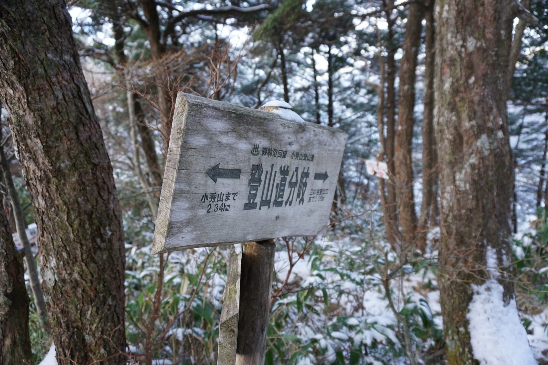
On the descent, you will retrace your steps up to the Kabuto-iwa, but at the Ni-no-Tani and San-no-Tani junction, you will follow the San-no-Tani route. The Ni-no-Tani route has the Kamoshika-watari, which is dangerous to descend without chains on top of the fact that those climbing the mountain and descending may overlap, so in order to also avoid traffic jams, it is recommended that hikers descending the mountain take the San-no-Tani route. On the other hand, even beginners can hike up the San-no-Tani route without a problem, so there will be people both ascending and descending along the route, but it should not cause any problems. At the Ni-no-Tani junction, the “Mountain and Highland Map” indicates the course time to the San-no-Tani Zorin-goya hut is one and a half hours. The continuous zig zags on this route make it easier on your knees, but it’s better to allow yourself an extra 30 minutes beyond the indicated course time.
