Senjo-jiki Route
Senjo-jiki station ~ Nokkoshi-jodo~ Mt. Naka-dake ~ Mt. Kisokoma-gatake ~ Mt. Naka-dake ~ Houken Mountain hut ~ Senjyo-jiki station
Technical level: B
Physical strength level: 2
Difficulty level: ⛰️
Start from Senjyo-jiki station of the ropeway, where a field full of flowers spreads out.
Enjoy the rocky trail and the view from the summit.
Access to Senjo-jiki
●Hiking data
Schedule: Day hike
Walking hours: 3 hours 35 minutes
(Up: 2 hours/Down: 1 hour 35 minutes)
Walking distance: 3.9 km
Difference in elevation: 448 m
Senjo-jiki station

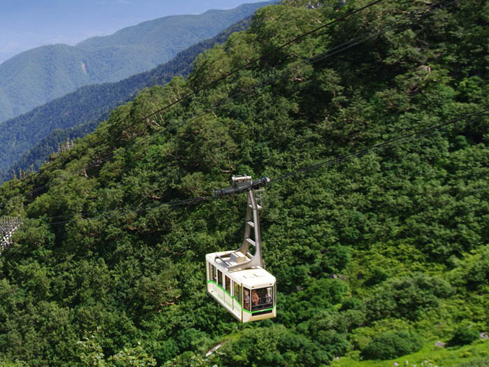
Elevation 2,612m
↓ 1 hour
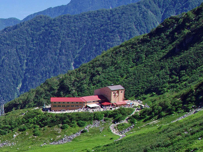
Houken sanso Mountain hut
Elevation 2,870m
↓ 30 minutes
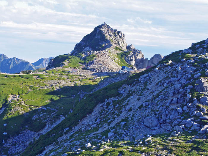
Mt. Naka-dake
Elevation 2,925m
↓ 30 minutes
Mt. Kisokoma-gatake
Elevation 2,956m
↓ 45 minutes
Houken sanso Mountain hut
Elevation 2,870m
↓ 50 minutes
Senjo-jiki station
Elevation 2,612m
Route Guide
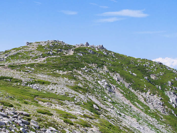
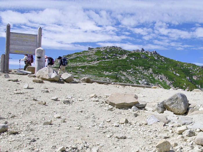
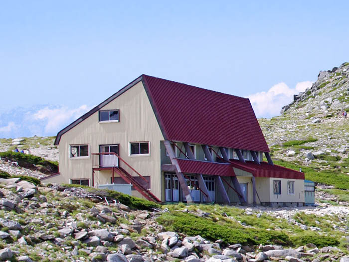
Senjo-jiki curl, a curly shaped basin, spreads out in front of you when you walk out of Senjo-jiki station of Koma-gatake ropeway. Visit Koma-gatake Shrine to pay your respects before heading up the trail. Enjoy alpine plants while walking. Climb up the Haccho slope in a zigzag pattern as the elevation becomes higher. Pass a big rock, then start climbing the iron stairs. At the end of the stairs, an open and flat Joudo-nokkoshi is reached shortly. Take a short break and follow the road sign to the left trail. Kenzan-sou Mountain hut is reached shortly. Tengu sou Hut stands right next to Kenzan-sou Mountain hat.
Go behind the hut then head to Mt. Naka-dake. The trail splits at the junction where a big cairn is placed. The left trail is a pass to skip the summit of Mt. Naka-dake. Proceed straight and climb up a wide slope. The summit of Mt. Naka-dake is reached in about 15 minutes.
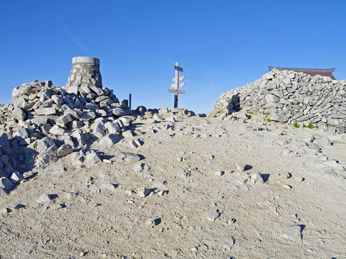
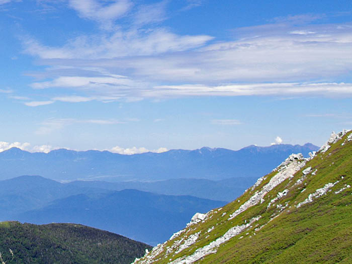
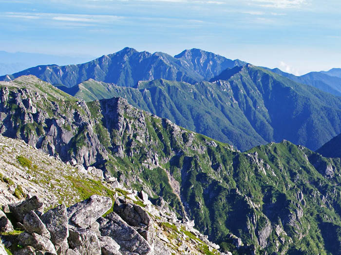
The summit, known as a Decentra flower field, is a small space. Mt. Kisokoma-gatake can be seen out front. From the summit, descend down once and ascend again, then Mt. Kisokoma-gatake is reached. A shrine stands at the spacious summit of Mt. Kisokoma-gatake. The view is phenomenal. The Northern Japan and Southern Japan Alps, and the Central Japan Alps which spread out from Mt. Kisokoma-gatake can be seen. Especially, the views of Mt. Norikura-dake and Mt. Ontake might leave you speechless. Beautiful alpine plants such as Komausu-yukisou can be seen.
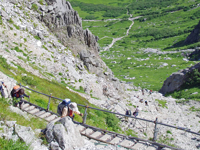
To descend, return on the trail back to Kama-gatake-sando Mountain hut. From the hut, for those not up to climbing up to the peak of Mt. Naka-dake, you might use a byway passage to descend. It can save you some time. Be careful when descending the Haccho slope.