Akaiwa o’ne Route
O-tanbara ~ Nishimata-no-deai ~ Tsumeta-ike-sanso Mountain hut ~ the south peak ~ the north peak ~ the south peak ~ Tsumeta-ike-sanso Mountain hut ~ O-tanbara
Technical level: C
Physical strength level: 6
Difficulty level: ⛰️⛰️⛰️
Akaiwa o’ ne, well known for its steep slope
This approach is more suitable for serious hikers who enjoy facing a challenging route with the steep slopes.
It is a route that hikers long for.
ACCESS to O-tanbara,
O-tsumeta-bashi
●Hiking data
Schedule: One night two days or two nights and three days
Walking hours: 15 hours 30 minutes
(Up: 9 hours 10 minutes/Down 6 hours 20 minutes)
Walking distance: 12.3 km
Difference in elevation: 1,460 m
O-tanbara
Elevation 1,132m
↓ 1 hour 10 minutes
Nishimata-no-deai
Elevation 1,330m
↓ 5 hours
Tsumeta-ike-sanso Mountain hut
Elevation 2,420m
↓ 2 hours 10 minutes
Mt. Kashima-yari-gatake north peak
Elevation 2,842m
↓ 40 minutes
Mt.Kashima-yari-gatake south peak
Elevation 2,889m
↓ 1hour 30 minutes
Tsumeta-ike-sanso Mountain hut
Elevation 2,420m
↓ 10 minutes
Tsumeta-nokkoshi
Elevation 2,387m
↓ 3 hours
Nishimata-no-deai
Elevation 1,330m
↓ 1hour
O-tanbara
Elevation 1,132m
Route Guide
This route gets to the summit of Mt. Kashima-yari-gatake in the shortest distance, however, walking hours might not be so much different from Ougi-sawa approach because this course involves steep slopes. Since the distance is shorter, the trail gets steeper. It might be a tough route for beginners. The schedule is set for two nights and three days. For experts, if they depart at sunrise, they can make it a day trip.
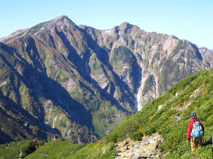
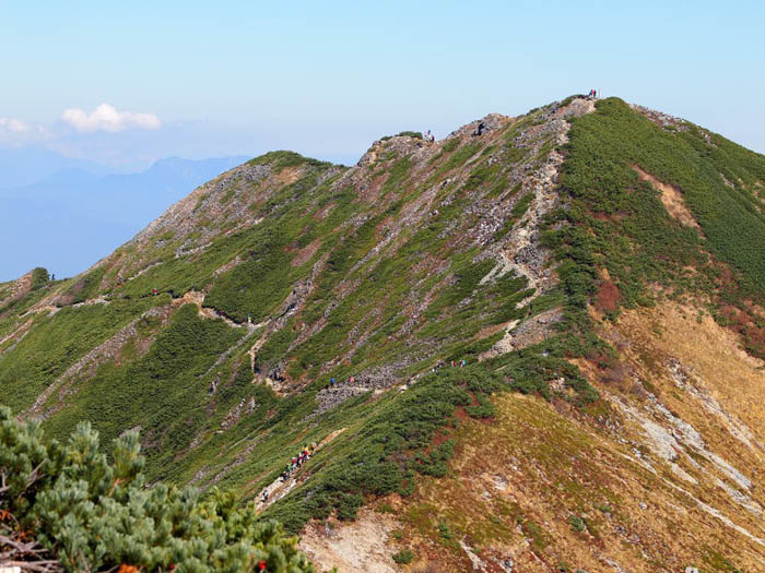
From O-tanbara trailhead, cross O-tsumeta bridge then pass a gate to enter a logging road, which is an unpaved road. It should be easy to follow due to road signs seen from one point to another. When Sabou dam is reached, take an underground road then reach the opposite bank. Nishimata-no-deai is reached shortly. From this point, the steep slope of Akaiwa o’ne begins. Climb an uphill, using ladders on rocks. Walk at a steady pace. Mt. Jiiga-take can be spotted through trees. When a trail reaches Takachiho-daira at an elevation of 2,049m, the view becomes clearer. Mt. Kashima-yari-gatake, Mt. Myokou-san, Mt. Tokakushi-yama, and Mt. Yatsu-gatake can be seen. A steep slope ends at Takachiho-daira. Pass the forest of Betula Ermani and enter a Pinus Pumila zone. When the trail becomes reddish and graveled, Tsumeta-nokkoshi is reached, and the trail merges into a ridgeline to the summit.
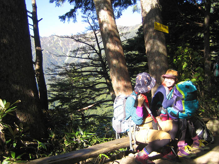
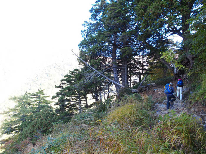
Proceed from Tsumeta- nokkoshi to Tsumeta-ike-sanso Mountain hut. After a downhill, the trail enters into a coniferous forest. Tsumeta-ike-sanso Mountain hut is reached shortly. It is recommended to stay for a night at the hut. A camping site is located above the hut. On the next day, it takes about 9 hours for a round trip to the summit and a descent all the way to the trailhead. You can add one more day to the schedule to give you more time to descend to the trailhead if you like.
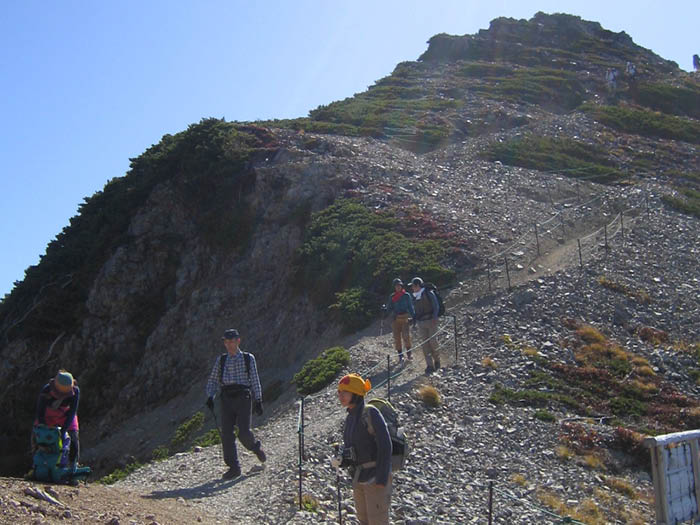
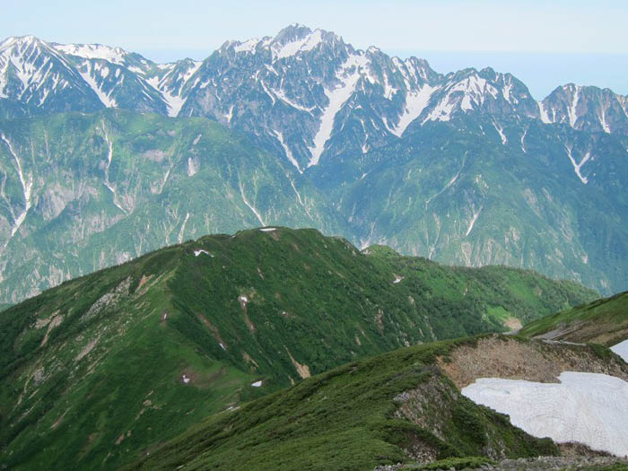
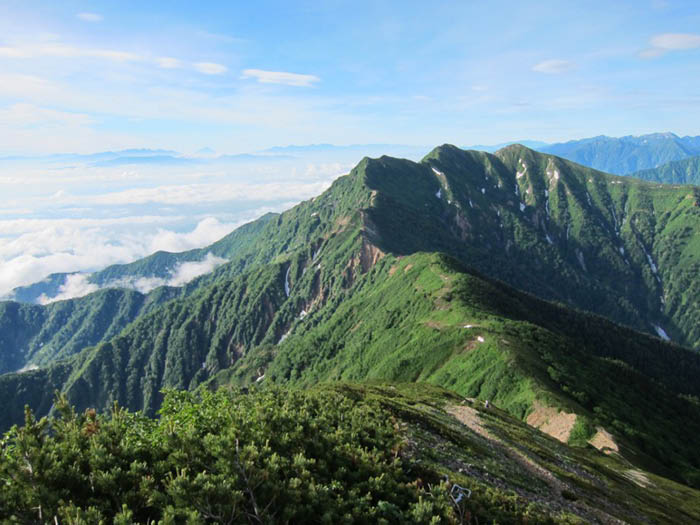
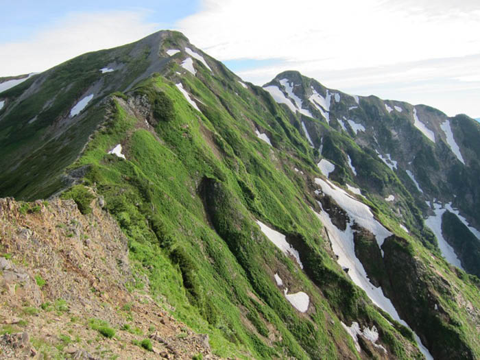
From Tsumeta-ike-sanso Mountain hut, pass a camping site then start climbing on a ridgeline with an open view. It leads to Mt. Kashima-yari-gatake south peak via Mt. Nunobiki-yama. Beyond Tsuri o’ne, a hanging ridgeline between two peaks, the north peak can be seen. The view is phenomenal. Be careful walking on the rocky Tsuri o’ne. At the saddle, the trail separates. The right trail goes to Mt. Goryuu-dake via a challenging zone, the Hachimine V-shaped cut in the mountain ranges. The left trail leads to the north peak of Mt. Kashima-yari-gatake. A graveled trail leads to the north peak. The view is fantastic. The northern part of the Northern Japan Alps can be seen. To descend, follow the same path used for ascending, or you can hike down to Ougi-sawa via Mt. Jiiga-take and Taneike-sanso Mountain hut.
