Kashiwa-bara shindo Route
Ougi-sawa ~ Kashiwa-bara shindo trail ~ Tane-ike sanso ~ Tsumeta-ike sanso ~ Mt. Kashima-yari-gatake ~ Tsumeta-ike sanso ~ Tane-ike sanso ~ Ougi-sawa
Technical level: B
Physical strength level: 6
Difficulty level: ⛰️⛰️⛰️
The quickest route to Mt. Kashima-yari-gatake
●Hiking data
Schedule: One night two days
Walking hours: 16 hours 35 minutes
(Up: 9 hours 5 minutes/Down: 7 hours 30 minutes)
Walking distance: 23.6 km
Difference in elevation: 2,027 m
Ougi-sawa
Elevation 1,433m
↓ 4 hours 5 minutes
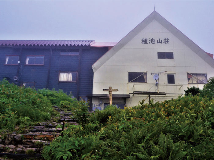
Tane-ike sanso Mountain hut
Elevation 2,460m
↓ 1hour
Mt. Jiiga-take
Elevation 2,669m
↓ 1 hour
Tsumeta-nokkoshi
Elevation 2,444m
↓ 10 minutes
Tsumeta- ike-sanso Mountain hut
Elevation 2,420m
↓ 2 hours 10 minutes
Mt. Kashima-yari-gatake south peak
Elevation 2,889m
↓ 40 minutes
Mt. Kashima-yari-gatake north peak
Elevation 2,842m
↓ 2 hours 10 minutes
Tsumeta- ike-sanso Mountain hut
Elevation 2,420m
↓ 2 hours 20 minutes
Tane-ike-sanso Moutain hut
Elevation 2,460m
↓ 3 hours
Ougi-sawa
Elevation 1,433m
Route Guide
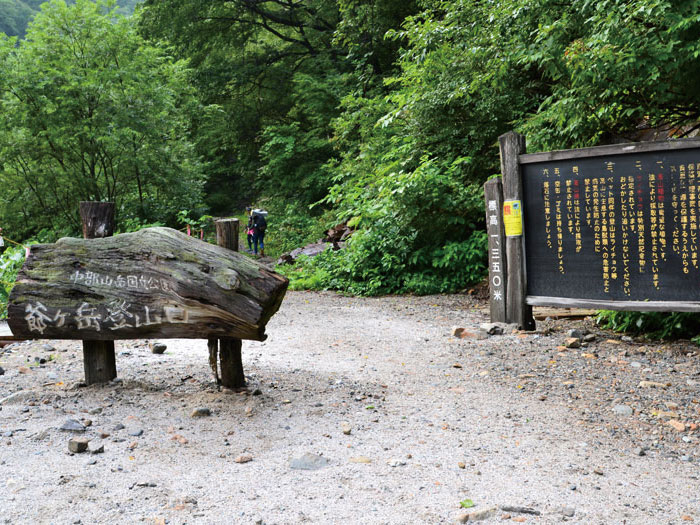
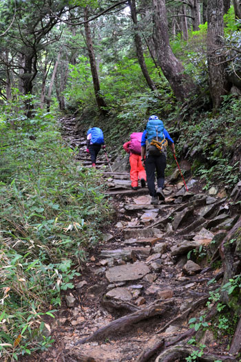
This route is scheduled for a one night two days trip, staying at Tsumeta-ike sanso Mountan hut. You can also stay at Taneike-sanso Mountain hut for the first night then stay at Tsumeta-ike sanso Mountain hut for the second night. Making a trip of two nights three days makes it easy mentally and physically. A starting point is at Ougi-sawa, an entrance to Mt. Tate-yama. A trailhead will be found where you walk back the pavement for a short time. This trail is called Kashiwa-bara-shindo. It includes some steep slopes but overall is an enjoyable hiking trail. As the elevation becomes higher, a ridgeline from Mt. Harinoki-dake will come into your sight. It is a powerful mountain view.
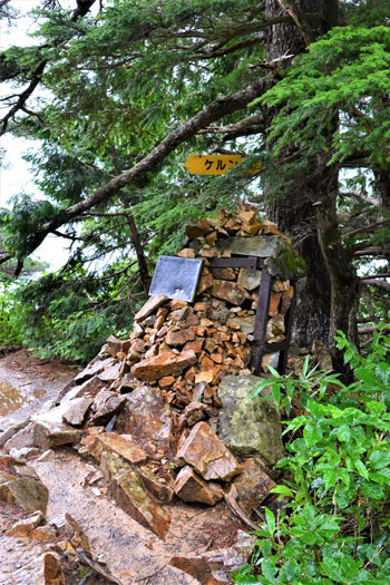
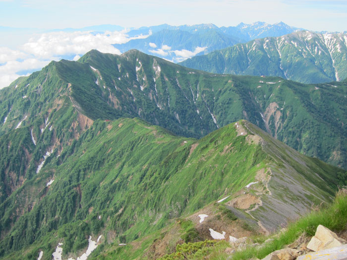
After passing a cairn, the trail becomes steeper. Take a break while you are standing and focus on walking carefully. The trail meets a scree slope. Rocks might fall from a slope on your right side. Maintain the distance from the hiker in front of you and walk carefully. Taneike sanso Mountain hut is reached shortly after passing this point. The trail gets on a ridgeline to Mt. Kashima-yari-gatake. Also, this ridgeline is the border between Nagano prefecture and Toyama prefecture. Facing Mt. Jiiga-take, the left side is Toayama prefecture and the right side is Nagano prefecture. This prefectural border ridgeline leads to the summit of Mt. Kashima-yari-gatake.
After taking a break at the hut, follow the trail through a Pinus Pumila zone. Mt. Tate-yama, Mt. Yari-gatake, and Hotaka Mountains come into your sight at the end of the forest zone. Mt. Kashima-yari-gatake appears in the left corner of your view. Tsumeta-ike-sanso Mountain hut at a saddle can be spotted as well. Mt. Jii-gatake has three peaks, the south, the central, and the north. A triangulation point is located at the central peak. Both the south and the central peak leads to the summit, however, the north peak does not reach the summit. Tsumeta-nokkoshi is reached where the trail meets Akaiwa o’ne. From Tsumeta-nokkoshi, the trail continues through a Pinus Pumila zone in a zigzag pattern. Tsumeta-ike-sanso Mountain hut is reached shortly. A camping site locates above the hut.
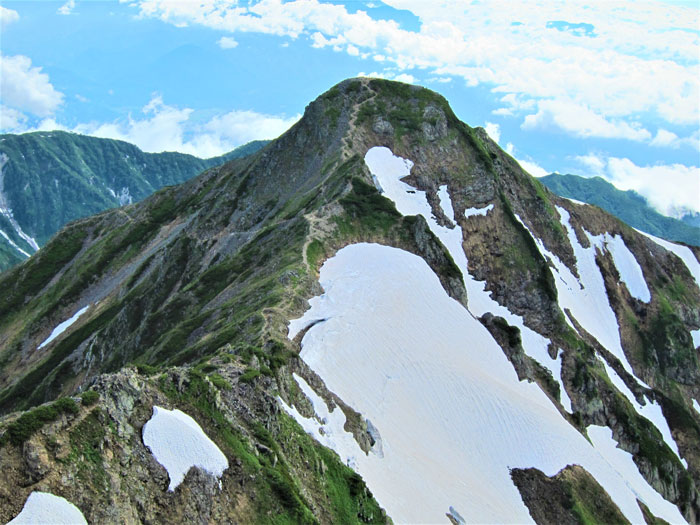
Start early to the summit on the next day. It is an enjoyable hike through a flower field and snowy valleys remain even in August. A peak surrounded by Pinus Pumila is reached after a while. This is the summit of Mt. Nunohiki-yama. Take a short break here. The slope becomes steeper so rest while standing. When the slope becomes much steeper, the south peak of Mt. Kashima-yari-gatake is reached. The triangulation point locates at the summit. This is the highest mountain among Ushiro-date Mountains. There is a great view of Mt. Tate-yama and the Hotaka Mountains. Go for a round trip following by a narrow ridgeline to the north peak. From the north peak, a rocky ridgeline leads to Mt. Goryu-dake. Enjoy the view and return to the route used for ascending all the way to Ougi-sawa.

