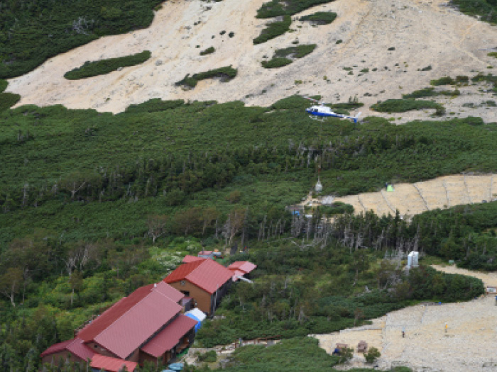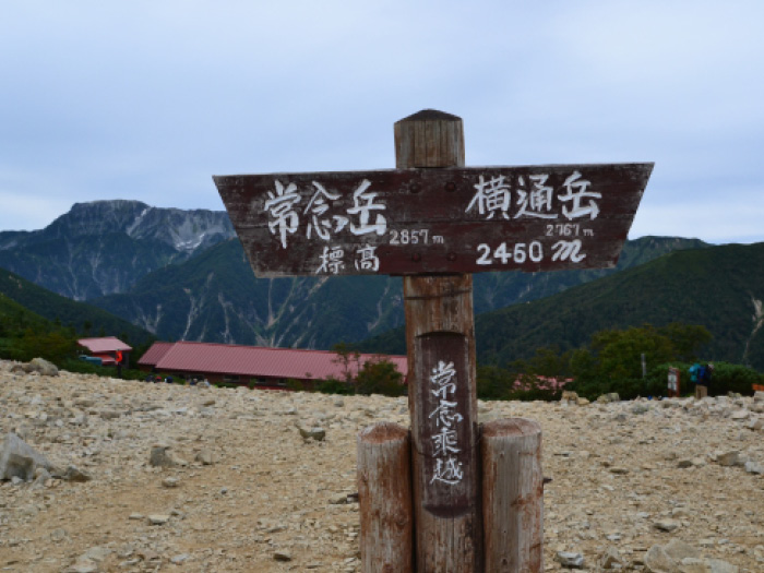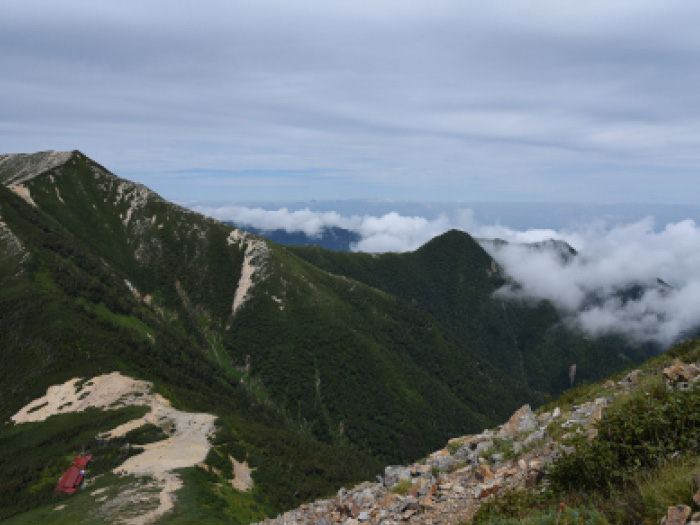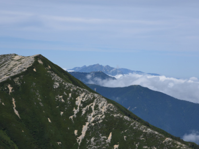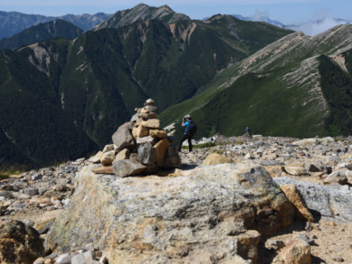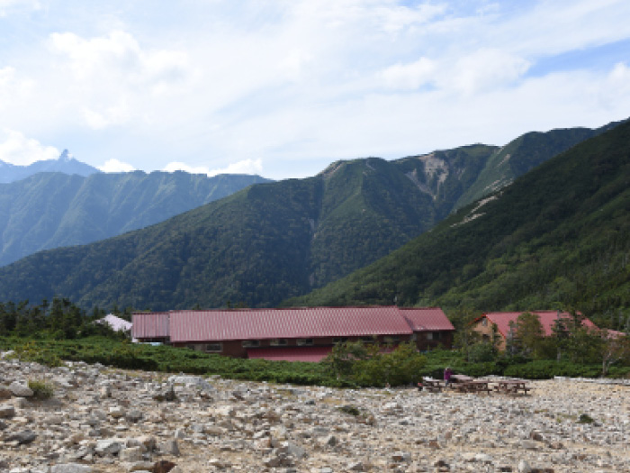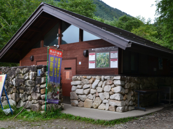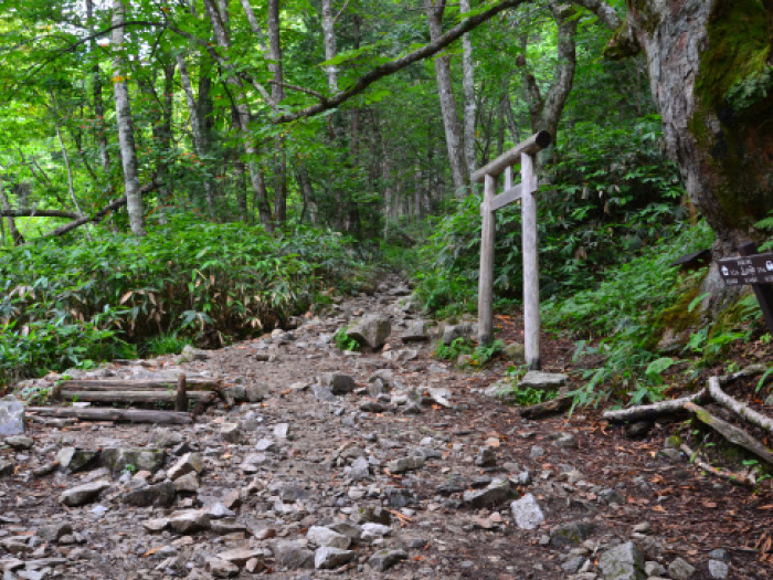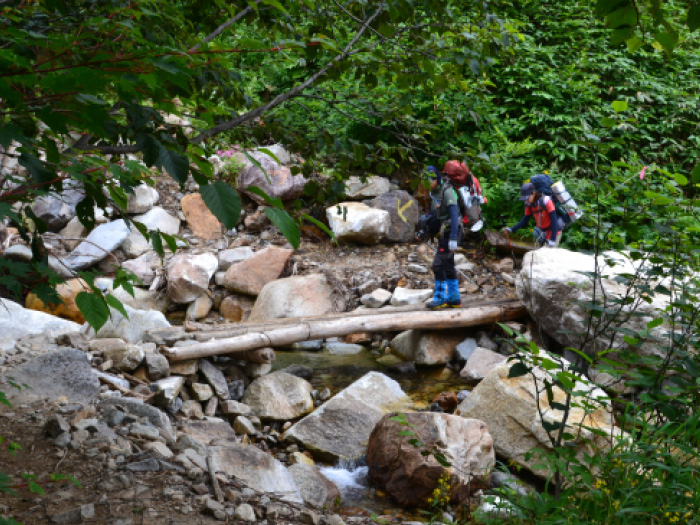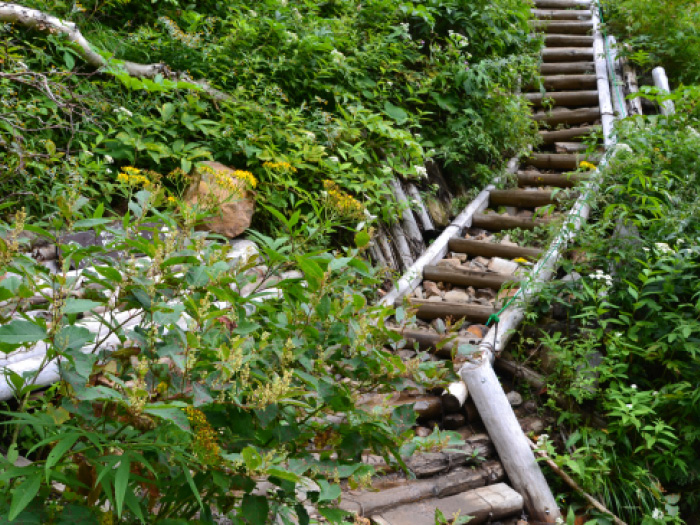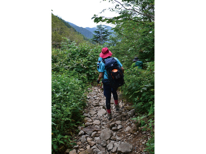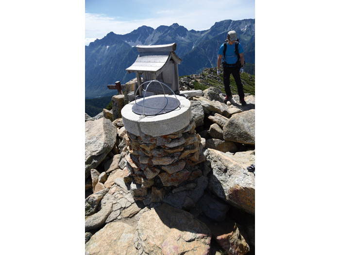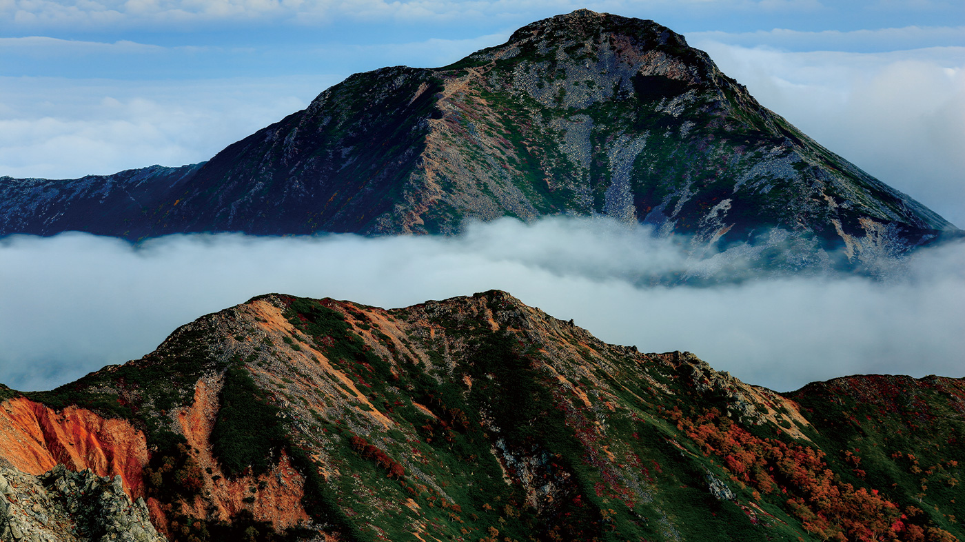
| This mountain is very noticeable from the Azumino area when looking at the Northern Alps. Many might feel that way. The beautiful pyramidal shape of the mountain makes hikers long to climb it. It is said that the origin of the name comes from the shape of the mountains which looks like “a monk is praying”. When you look out for Mt. Kita-hodaka dake and Mt. Yari-gatake, the dignified shapes of the mountains might make you feel like paying your respects to them. When Weston visited here, he was eager to listen to the story from the local folks. The elevation does not reach 2,900 m, however, it is a noticeable shape from anywhere. Therefore, the mountainous area that shapes the outer rim of the southern part of the Northern Japan Alps is named the Jyounen Mountains. Any route to the summit of the mountain is quite tiring, which also makes you feel very accomplished when you stand at the summit. The view from the summit is also phenomenal. |
Mt. Jonen-dake: Elevation 2,857 m
Trailheads to Mt Jonen-dake are Ichino-sawa and Mitsumata. The quicker route to the summit is Ichino-sawa course. It is recommended to take a round trip from Ichino-sawa if you are hiking only Mt. Jonen-dake. If you are climbing Mt. Cho-gatake as well, a classic course starts from Mitsumata to the summit of Mt. Cho-gatake and walks on a ridgeline to Mt. Jonen-dake. If you drive yourself to the trailhead, you can return to Mitsumata via Mt. Mae-Jonen-dake.
Some hike from Mt. Tsubakuro-dake to Mt. Jonen-dake and Mt. Cho-gatake via Mt. O-tensyo-dake. It is an excellent course with a great view of the Hodaka Mountains with Mt. Yari-gatake at the center. From the summit of Mt. Jonen-dake, Higashi-kama o’ne from Nishi-dake hut, which stands on Kisaku-shindou, to Mt. Yari-gatake. On your left, the Hodaka mountains can be seen. Due to these fantastic views, many hikers become Northern Alps lovers when climbing Mt. Jonen-dake for the first time. If you would like to make someone fall in love with the Northern Japan Alps or just mountains, Mt. Jonen-dake might be your first choice to take someone hiking!
Trailhead vicinity weather
Weekly weather forecast zone:Central Nagano Prefecture
| DAY | WEATHER | LOWEST | HIGHEST |
|---|---|---|---|
| 2/11 | -2℃ | 6℃ | |
| 2/12 | -4℃ | 6℃ | |
| 2/13 | -4℃ | 8℃ | |
| 2/14 | -3℃ | 9℃ | |
| 2/15 | -3℃ | 13℃ | |
| 2/16 | -2℃ | 8℃ |
This is a publication of the calculated figures for weather predictions and is not the weather forecast. There are instances where there will be big differences in the values stated for the mountains, in accord with the topography as well as sunlight, etc. so please take care.
72 hours weather information:Minamata Trailhead, Horikane Karasugawa, Azumino City, Nagano Prefecture
| Date and time |
2/10 8:00 |
2/10 9:00 |
2/10 10:00 |
2/10 11:00 |
2/10 12:00 |
2/10 13:00 |
2/10 14:00 |
2/10 15:00 |
2/10 16:00 |
2/10 17:00 |
2/10 18:00 |
2/10 19:00 |
2/10 20:00 |
2/10 21:00 |
2/10 22:00 |
2/10 23:00 |
2/11 0:00 |
2/11 1:00 |
2/11 2:00 |
2/11 3:00 |
2/11 4:00 |
2/11 5:00 |
2/11 6:00 |
2/11 7:00 |
2/11 8:00 |
2/11 9:00 |
2/11 10:00 |
2/11 11:00 |
2/11 12:00 |
2/11 13:00 |
2/11 14:00 |
2/11 15:00 |
2/11 16:00 |
2/11 17:00 |
2/11 18:00 |
2/11 19:00 |
2/11 20:00 |
2/11 21:00 |
2/11 22:00 |
2/11 23:00 |
2/12 0:00 |
2/12 1:00 |
2/12 2:00 |
2/12 3:00 |
2/12 4:00 |
2/12 5:00 |
2/12 6:00 |
2/12 7:00 |
2/12 8:00 |
2/12 9:00 |
2/12 10:00 |
2/12 11:00 |
2/12 12:00 |
2/12 13:00 |
2/12 14:00 |
2/12 15:00 |
2/12 16:00 |
2/12 17:00 |
2/12 18:00 |
2/12 19:00 |
2/12 20:00 |
2/12 21:00 |
2/12 22:00 |
2/12 23:00 |
2/13 0:00 |
|---|---|---|---|---|---|---|---|---|---|---|---|---|---|---|---|---|---|---|---|---|---|---|---|---|---|---|---|---|---|---|---|---|---|---|---|---|---|---|---|---|---|---|---|---|---|---|---|---|---|---|---|---|---|---|---|---|---|---|---|---|---|---|---|---|---|
| Weather | |||||||||||||||||||||||||||||||||||||||||||||||||||||||||||||||||
| Temperature | -6℃ | -5℃ | -3℃ | -1℃ | 0℃ | 0℃ | 0℃ | -1℃ | -2℃ | -3℃ | -4℃ | -4℃ | -4℃ | -4℃ | -4℃ | -4℃ | -3℃ | -3℃ | -3℃ | -2℃ | -2℃ | -2℃ | -2℃ | -2℃ | -2℃ | -2℃ | -2℃ | -2℃ | 0℃ | -1℃ | -1℃ | -1℃ | -2℃ | -3℃ | -4℃ | -5℃ | -6℃ | -7℃ | -7℃ | -8℃ | -8℃ | -9℃ | -9℃ | -10℃ | -10℃ | -11℃ | -11℃ | -11℃ | -11℃ | -10℃ | -7℃ | -6℃ | -5℃ | -4℃ | -4℃ | -4℃ | -4℃ | -4℃ | -6℃ | -8℃ | -8℃ | -8℃ | -8℃ | -8℃ | -7℃ |
| Precipitation | 0mm/h | 0mm/h | 0mm/h | 0mm/h | 0mm/h | 0mm/h | 0mm/h | 0mm/h | 0mm/h | 0mm/h | 0mm/h | 0mm/h | 0mm/h | 0mm/h | 0mm/h | ※ 16時間以降は表示されません | |||||||||||||||||||||||||||||||||||||||||||||||||
| Wind direction |
west 2m/s |
west 2m/s |
west 1m/s |
west 2m/s |
west 2m/s |
west 2m/s |
west 2m/s |
west 3m/s |
west 3m/s |
west 3m/s |
west 3m/s |
west 3m/s |
west 3m/s |
west 4m/s |
west 4m/s |
west 4m/s |
west 4m/s |
west 4m/s |
west 3m/s |
west 3m/s |
west 2m/s |
west 2m/s |
west 2m/s |
west 2m/s |
west 2m/s |
west 2m/s |
west 2m/s |
west 1m/s |
west 1m/s |
west 1m/s |
west 2m/s |
west 2m/s |
west 2m/s |
west 1m/s |
0m/s |
0m/s |
0m/s |
west 1m/s |
west 1m/s |
west 1m/s |
west 1m/s |
west 1m/s |
west 1m/s |
west 1m/s |
west 1m/s |
west 1m/s |
west 1m/s |
west 1m/s |
west 1m/s |
0m/s |
0m/s |
0m/s |
0m/s |
0m/s |
0m/s |
0m/s |
west 1m/s |
west 1m/s |
west 1m/s |
west 2m/s |
west 2m/s |
west 2m/s |
west 2m/s |
west 2m/s |
west 2m/s |
※The weather information will be information on 5km square including the relevant point.
※天気予報マークは一次細分区域から表示しています

