Aoki Kosen Route
① Aoki-Kosen ~ Houo koya Mountain hut ~ Akanuke-sawa- no-kashira ~ Mt. Kannon-dake ~ Mt. Yakushi-dake ~ Aoki-Kosen
Technical level: C
Physical strength level: 6
Difficulty level: ⛰️⛰️⛰️
This route is recommended for an entry level of the South Japan Alps. The view from the summits and ridgelines is fantastic.
●Hiking Data
Schedule: One night two days
Walking hours: 13 hours 5 minutes
Walking distance: 15.9 km
Difference in elevation: 2,157 m
Aoki-Kosen
Elevation 1,090m
↓ 6hours
Houo koya Mountain hut
Elevation 2,400m
↓ 1hour 30 minutes
Akanuke-sawa- no-kashira
Elevation 2,750m
↓ 1hour 10 minutes
Mt. Kannon-dake

Elevation 2,840m
↓ 30 minutes
Mt. Yakushi-dake
Elevation 2,780m
↓ 3hours 55 mimnutes
Aoki-Kosen
Elevation 1,090m


Route Guide
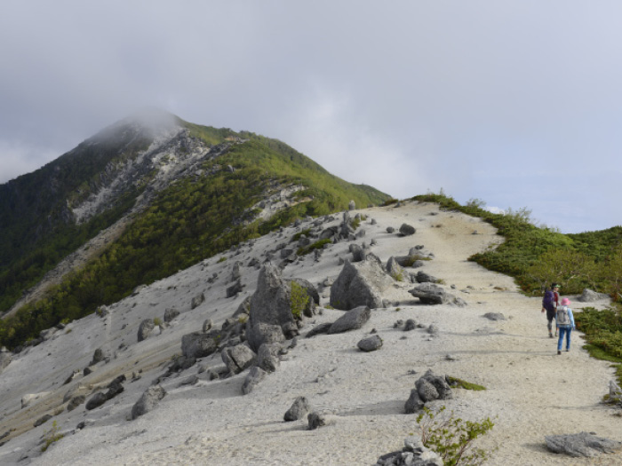
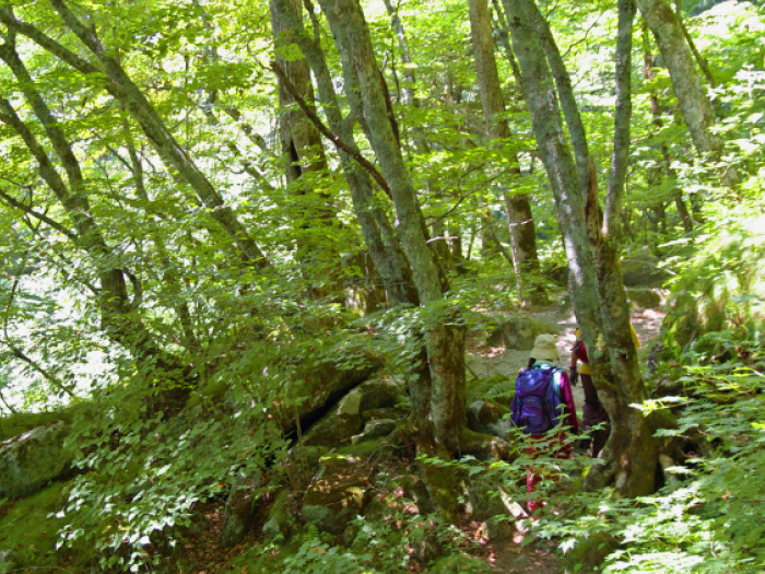
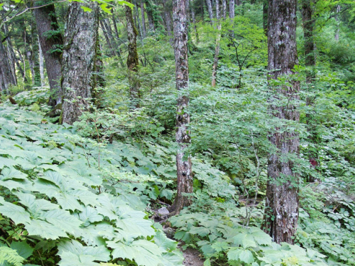
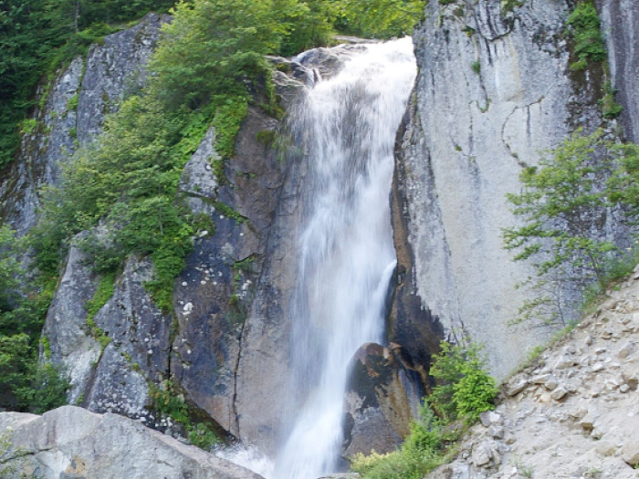
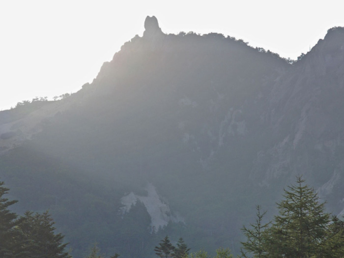
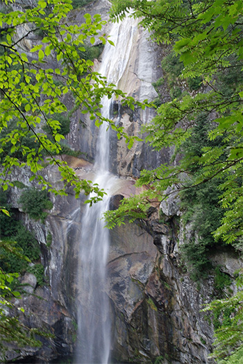
From Aoki-Kosen, follow a road sign, which leads to Dondoko-sawa trail. The trail adopts a zigzag pattern as the elevation becomes higher. Take a detour by following the sign when the trail reaches a construction zone. Houo Falls locates slightly off the trail. Follow the trail, which leads to Shiraito-no falls. Cross a branch stream and proceed through a coniferous forest. About 4 minutes from a junction to Goshiki-no falls, the falls is reached. Return to the junction and start climbing the steep uphill. The trail becomes graveled. After passing a forest area, the trail comes to a riverside of a source of Dondoko-no-sawa. Continue on a steep slope to a point where a trail from the right merges. Houo koya Mountain hut is reached shortly. From here, head out to Mt. Jizou-dake. At the end of the steep slope, a plateau covered by white sandstones can be seen. Saino-kawara is reached after passing the plateau. There are many stone statues, Jizo, worshipped as a goddess of pregnancy. A pointed obelisk can be seen well from this spot.
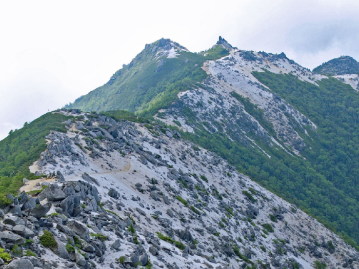
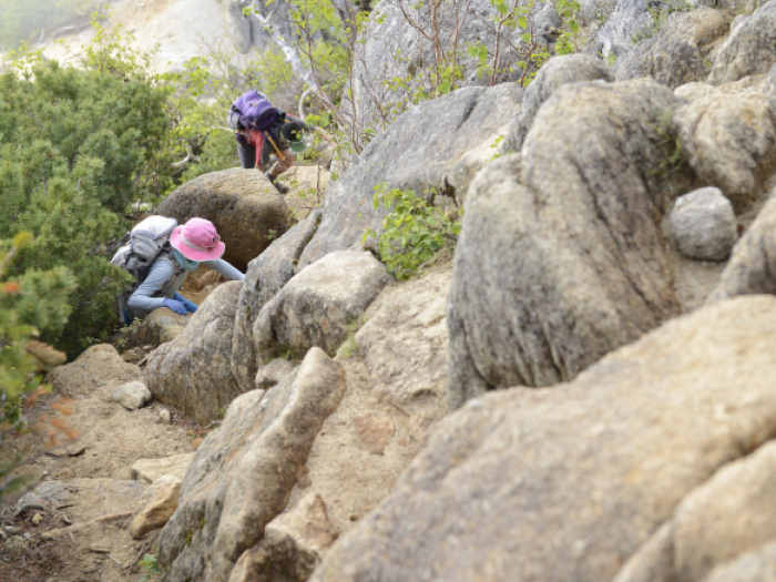
Akanuke-no-sawa-no-kashira is reached about 10 minutes after the obelisk. The trail merges into a ridgeline to the summit. It changes direction towards the southeast. Mt. Kita-dake should be in sight on the right. Follow the trail with a great view to Mt. Kannon-dake. This is the main peak of the Houo Three Mountains. The view is 360 degrees. Proceed through a Pinus Pumila zone. The view of Mt. Kita-dake out of the Shirane three mountains is impressive. Follow an easy path to Mt. Kakushi-dake. The summit is covered by sandstones and big rocks are piled up. From Mt. Yakushi-dake, pass the trail leading to Yashajin pass to your right and follow a left trail to Aoki-Kosen. This trail is called Naka-michi. There is a 1,600 m variance in elevation. Be careful not to fall on the steep slope. The trail descends through a forest area so there will be no clear view. Aoki-Kosen is reached in about 40 minutes when the trail comes to a paved road.