Dakesawa Route
Kamikochi ~ Dakesawa ~ Kimiko-daira ~ Mt. Maehotaka-dake ~ Kimiko-daira ~ Mt. Okuhotaka-dake ~ Karasawa ~ Yokoo ~ Kamikochi
Technical level: D
Physical strength level: 7
Difficulty level: ⛰️⛰️⛰️⛰️
The shortest hike to the summit of Mt. Okuhotaka-dake, which includes steep slopes on Jutaro-shindou trail.
●Hiking Data
Two nights and three days
Walking time: 16 hours
Walking distance: 24.8 km
Difference in elevation: 2,233 m
Kamikochi
Elevation 1,505m
↓ 2 hours 30 minutes
Dakesawa

Elevation 2,165m
↓ 3 hours
Kimikotaira
Elevation 2,910m
↓ 1 hour 50 minutes
Mt. Hotakadake-sansou

Elevation 2,983m
↓ 2 hours 10 minutes
Karasawa

Elevation 2,309m
↓ 2 hours
Yokoo
Elevation 1,620m
↓ 3 hours 10 minutes
Kamikochi
Elevation 1,505m
Route Guide
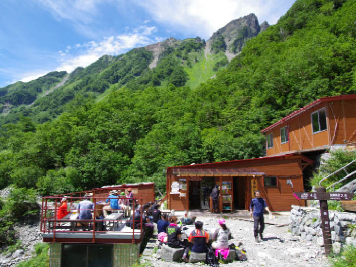
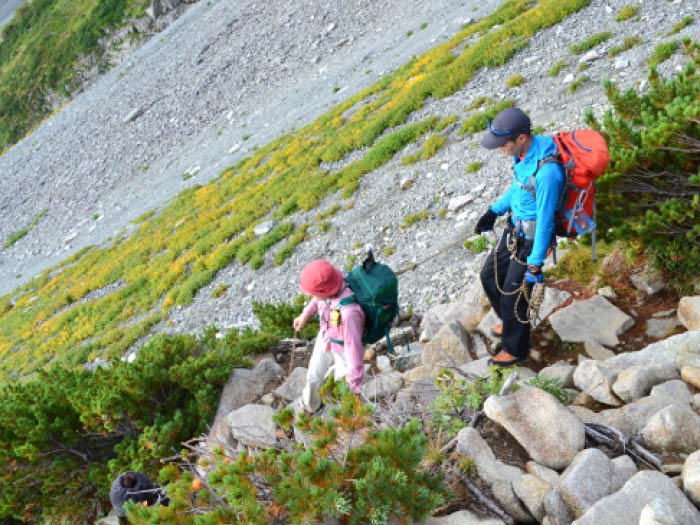
This route starts from Kappa bridge at Kamikochi. The trail crosses the bridge then continues straight onto a promenade. Take the left trail at Takezawa junction. This trail is covered by the forest zone with Japanese hemlocks and abies veitchii. Passing the forest zone, the trail reaches an open graveled space.This area is on the edge of Takezawa. With the graveled area at your left, walk through the shrubs area and cross another graveled area at Naka-Myou-jinzawa. The Takezawa hut is reached at the end of the trail.A stay that night at the hut is recommended.
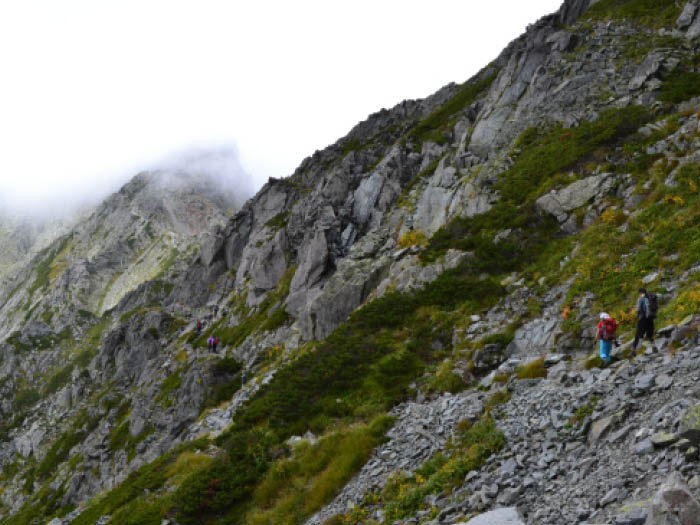
Start early on day 2. Jutaro-shindo trail is well known for its steep slopes.Those slopes look as though they climb up vertically at almost 90 degrees when seen from Nishiho-doppyou.Proceed with caution. An abundance of caution needs to be employed when descending this trail.Please remember that every year hikers slip to their deaths on this trail.
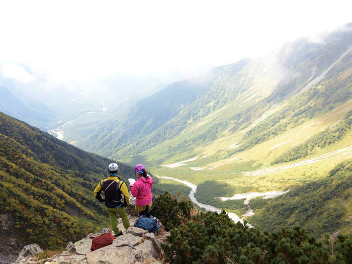
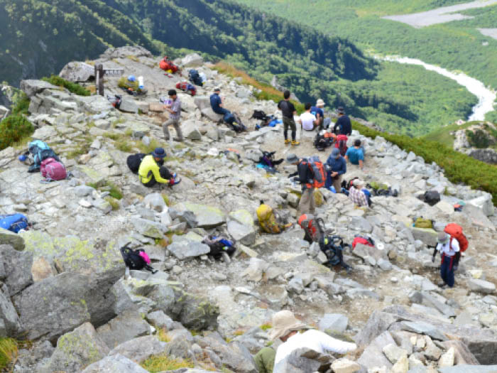
The trail includes hazardous spots involving the use of chains after passing Tachiba of Kamoshika.Climb with caution. Passing a zone covered by pinus pumila, the trail enters an area with Alpine plants.A Raicho-Hiroba is just ahead of this area. Ptarmigan can be seen if lucky. After passing an area using chains, where your right side is a cliff, the trail reaches Kimiko-Taira.Your backpack can be dropped off here to challenge the summit. The path goes straight up vertically but it is not too dangerous here. Keep climbing straight up then Mt. Mae-hotaka-dake will be reached. There is a spectacular view at the summit. Enjoy it!
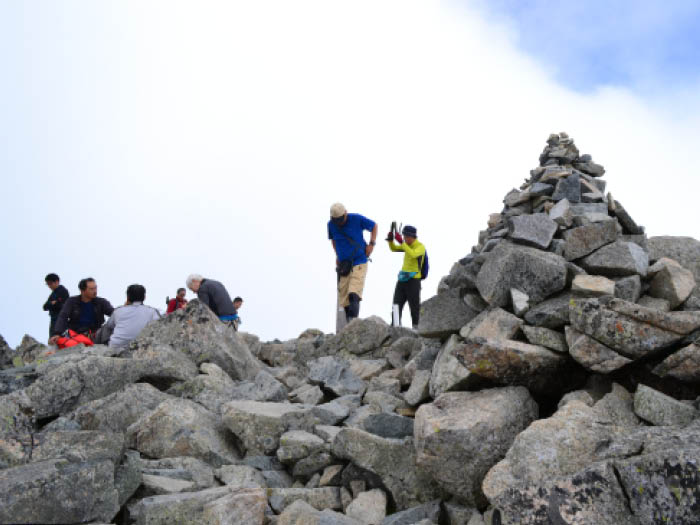
After descending back to Kimiko-taira, take a Tsuri-one, a ridgeline which hangs between two peaks like a suspension bridge (Tsuri-bridge), to Mt. Oku-hotaka-dake. This path includes many ups and downs so stay focused on the path. At the height, a spectacular view can be seen on a sunny day, however, the height might scare some people.
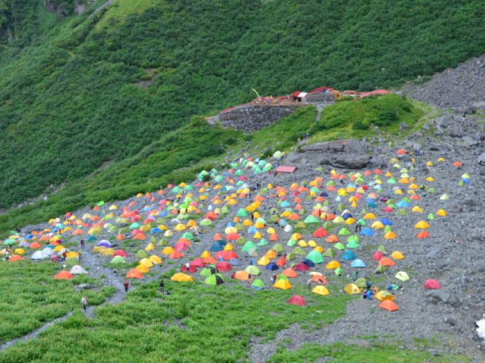
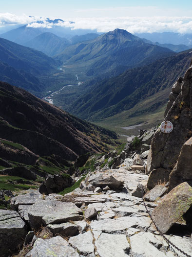
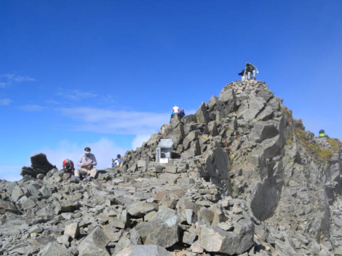
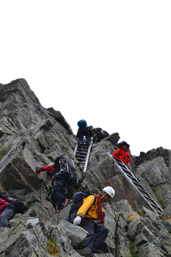
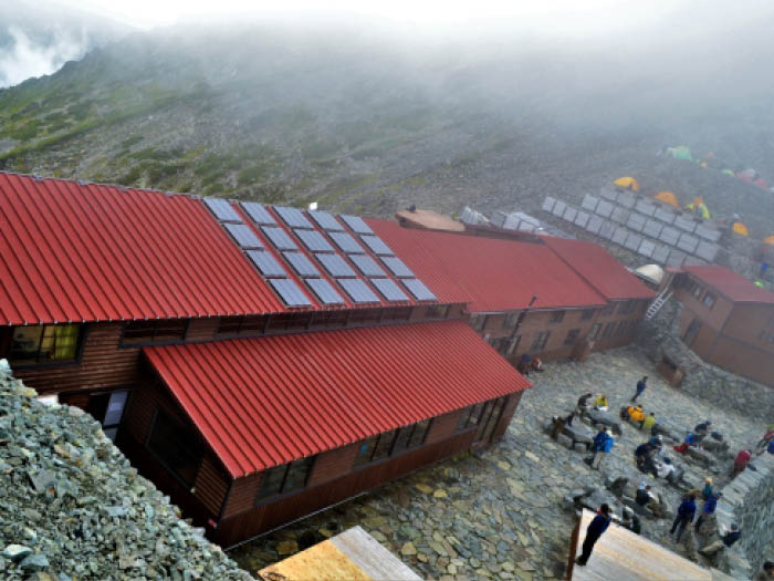
Mt. Oku-hotaka-dake is located at the end of the Tsuri-one. There is a small shrine at the summitTake turns to stand on the highest summit of the Northern Japan Alps.After taking a picture, continue onto Hotaka-dake-sansou. The hardest area to pass is a rocky zone from the ridgeline to the lodge.The height might scare you but stay focused on the rocks,chains, or ladders at your feet, then the sansou will be reached in short time. It is an impressive view of colorful tents at Karasawa Curl that can be seen from the front of the sansou.
From Hotaka-dake-sansou, follow the ridgeline called Seitengrat in German. This path is very steep and very rocky so great caution must be employed.It’s better not to use trekking poles in the rocky areas. Make a full use of your arms and legs to proceed to Karasawa. Mt. Kita-hotaka-dake can be spotted above the Karasawa lodge. A stay on a second night at the lodge is recommended.On the next day, please hike down all the way to Kamikochi. The trail to Yokoo is rocky, graveled and slippery so walk cautiously. From Yokoo to Kamikochi, the trail becomes a promenade with little ups and downs. It will take 3 hours from Yokoo to Kamikochi.
