Karamatsu-dake Route
①The first cairn ~ The third cairn ~ Mt. Karamatsu-dake ~ Mt. Goryu-dake ~ Mt. O-Tomi-yama ~ Alps-Daira
Technical level: C
Physical strength level: 5
Difficulty level: ⛰️⛰️⛰️
The hike to Mt. Karamatsu dake is manageable even for beginners,
but the difficulty increases beyond the Karamatsu-dake chojo-sanso, starting from Ushikubi.
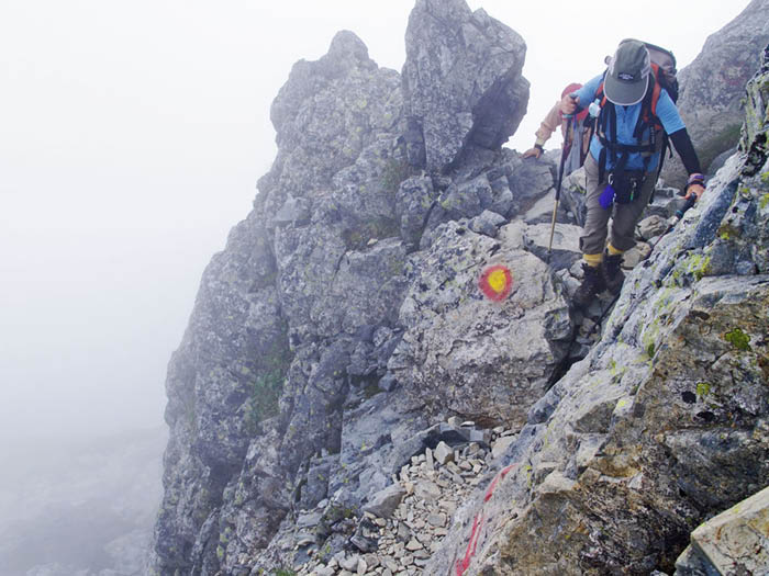
The route becomes challenging, including the rocky terrain from the Goryu-dake sanso to the summit of Mt. Goryu-dake.
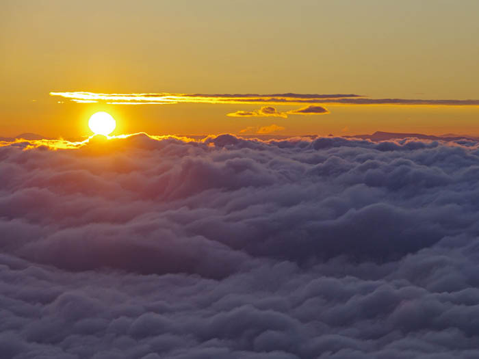
Simply using gondolas and lifts makes access easy, allowing you to traverse two renowned peaks of the Japan Alps for a 100% satisfaction cloud-top mountain walking course.
●Hiking Data
Schedule: One night two days
Walking hours: 12 hours 50 minutes
(To Mt. Goryu-dake: 8 hours 5 minutes. Down/4 hours 45 minutes)
Walking distance: 17.9 km
Difference in elevation: 1,975 m
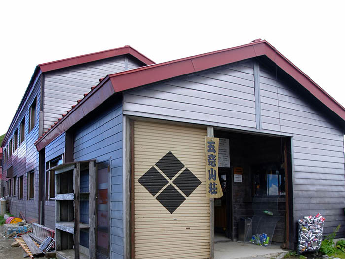
Happo-ike-sanso Mountain hut

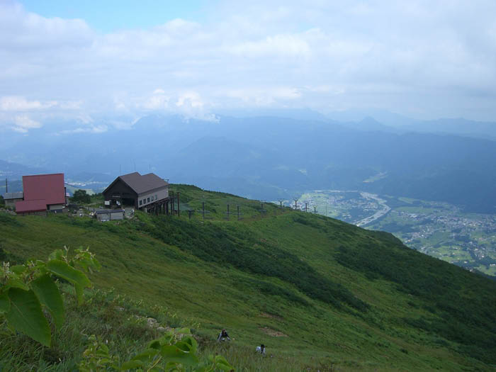

Elevation 1,830m
↓ 1 hour 30 minutes
The third cairn
Elevation 2,070m
↓ 2 hours 30 minutes
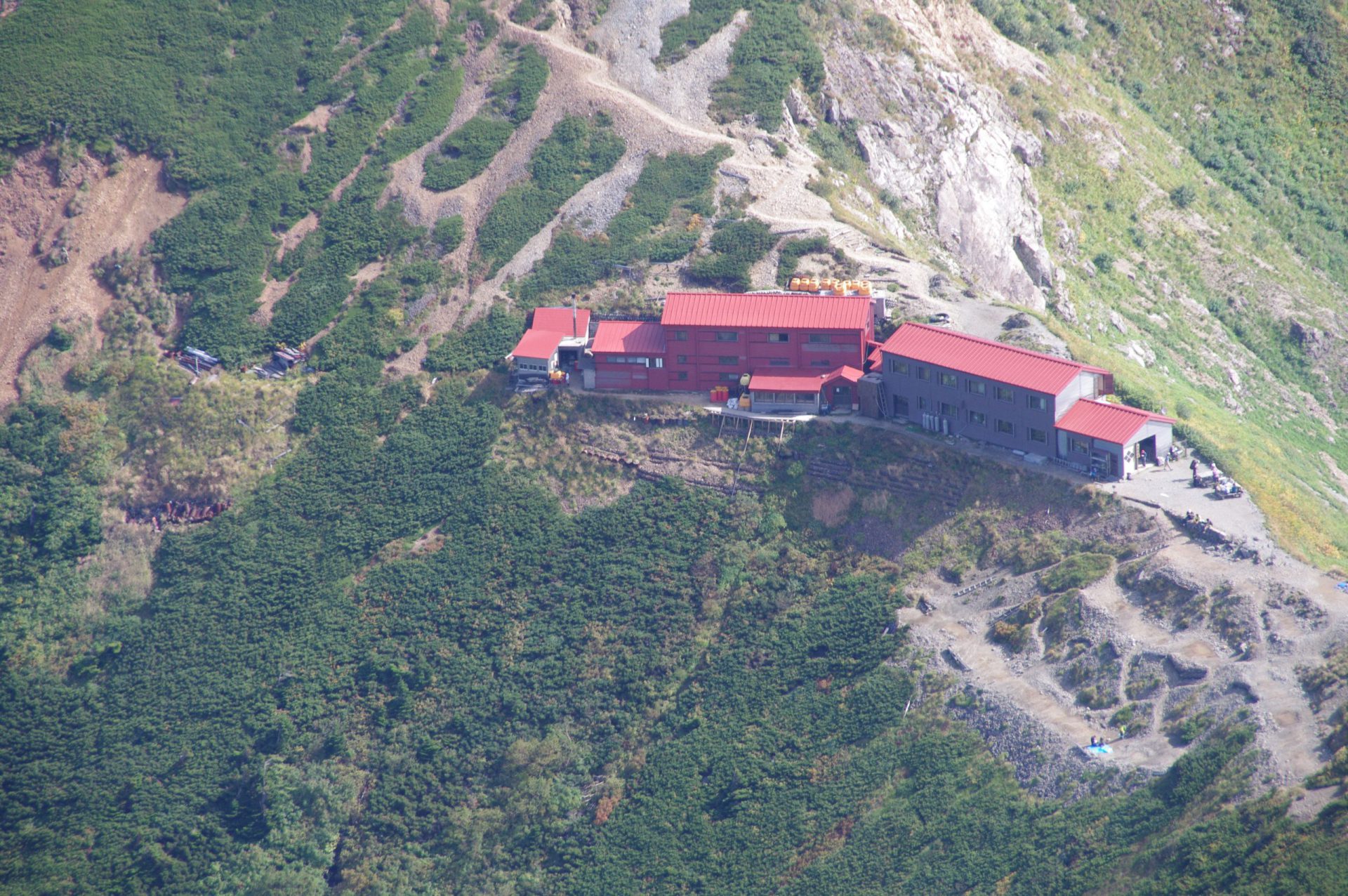
Karamatsu-dake Chojo-sano Mountain hut
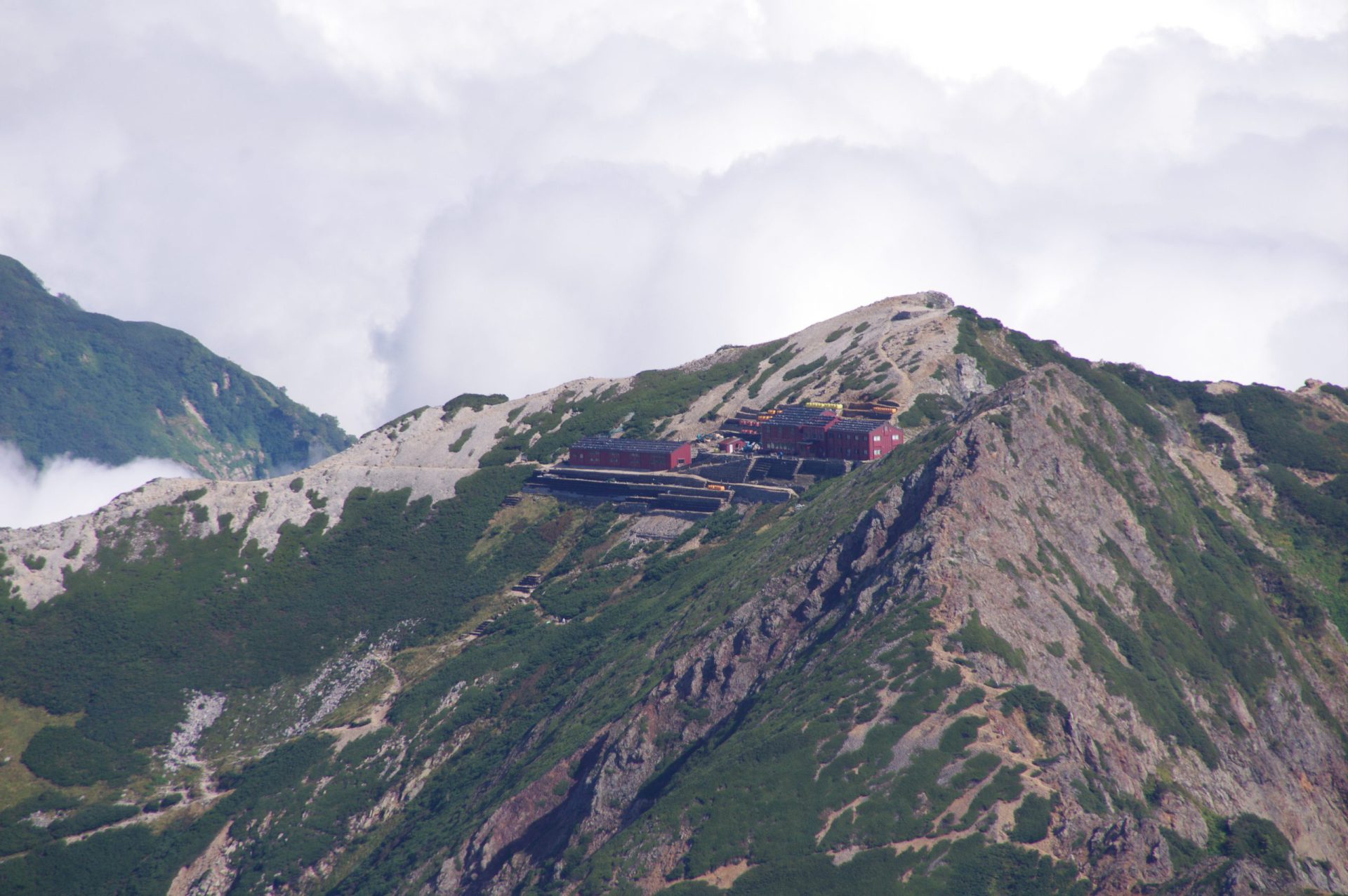
Elevation 2,620m
↓ 20 minutes
Mt. Karamatsu-dake

Elevation 2,695m
↓ 2 hours 45 minutes
Goryu-sanso Mountain hut
Elevation 2,490m
↓ 1 hour
Mt. Goryu-dake


Elevation 2,814m
↓ 2 hours 10 minutes
Mt. O-Tomi-yama
Elevation 2,106m
↓ 2 hours 35 minutes
Alps-Daira
Elevation 1,530m


Route Guide
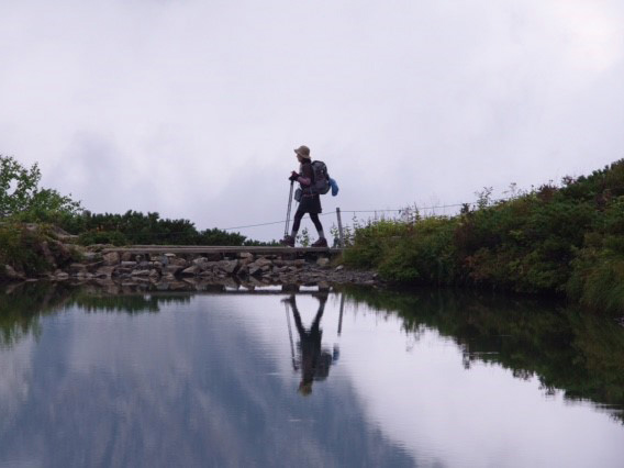
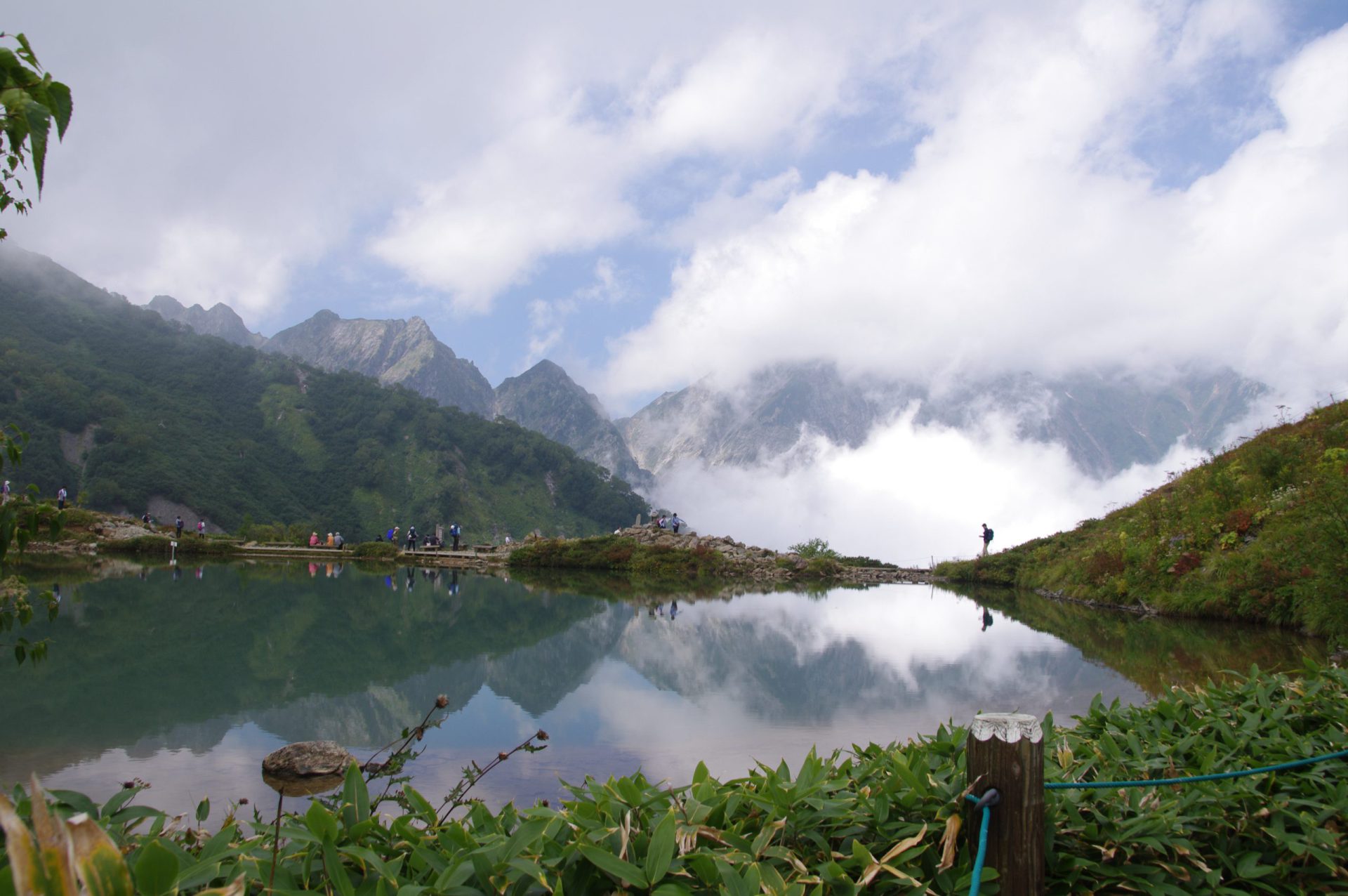
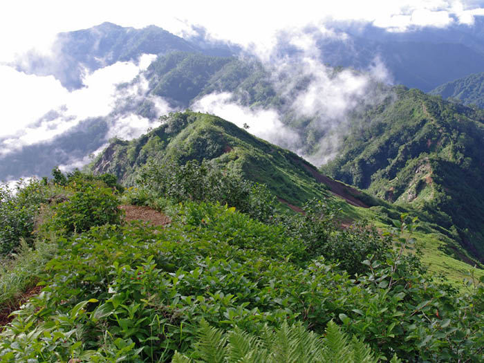
Head to a gondola station from Happo bus terminal. Ride a gondola and lift. The walk starts from Happou-ike-sanso Mountain hut. Till the second cairn, the trail separates twice. Chose which ever you like. Take a break by Happou pond, which reflects the Hakuba Mountains on its surface. Walk through Betula Ermani forest then continue through Pinus Pumila forest as you gain elevation. Near by Maruyama cairn, the trail passes the tree line and the view becomes wider. An overpowering rock wall of Kaerazu-no-ken will be right in front of you. Karamatsu-dake Chojo-sanso Mountain hut is reached shortly. If you are staying at this hut, it’s better to climb Mt. Karamatsu-dake right away. Follow the ridgeline for 20 minutes and the summit will be reached.
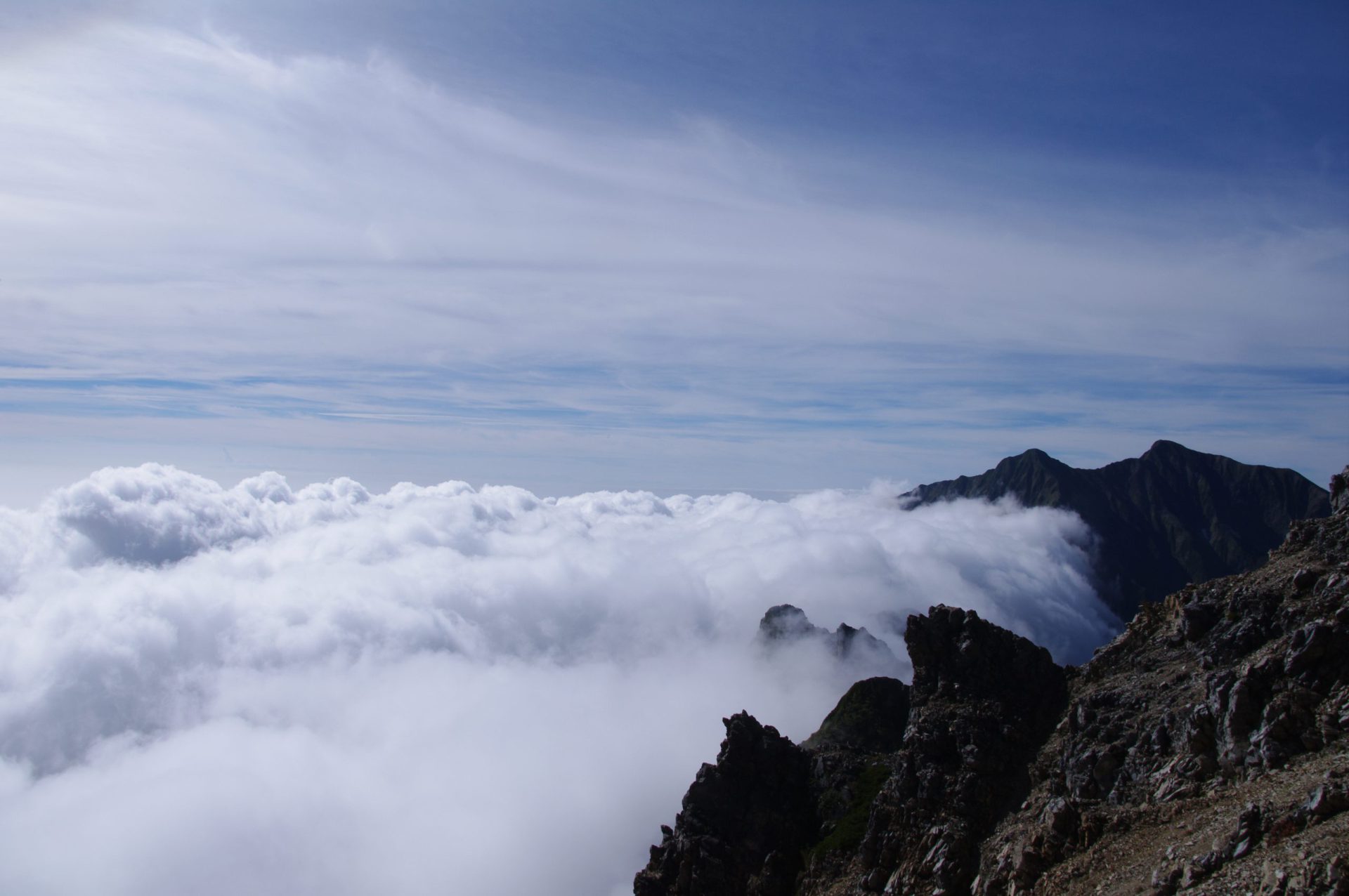
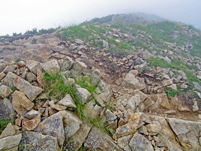
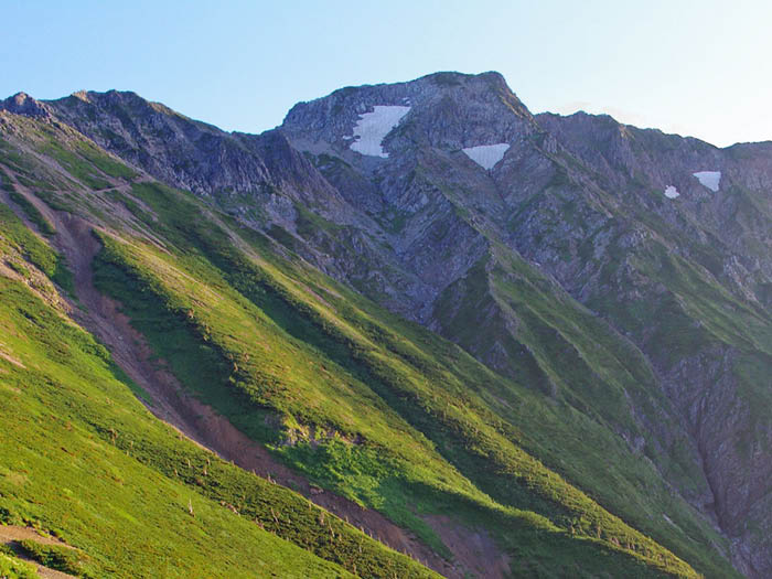
From the summit of Mt. Karamatsu-dake, follow the ridgeline to Mt. Goryu-dake via Karamatsu-dake Chojo-sanso. The trail is trod on by many hikers so it is stable. It includes rocky and graveled zones, so caution needs to be employed. Do not fall while distracted by the great views. Especially from Ushikubi to a saddle of Mt. Daikoku-dake, follow marked stones carefully. After this spot, the trail becomes covered by Pinus Pumila. Mt. Goryu-dake can be seen in front of you.
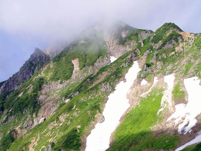
From a Siratake junction, go straight while looking at Tomi o’ne on your left, which will be used for descending. The graveled road begins. It becomes steeper as you proceed but the trail is stable. The summit is close when the trail becomes rocky. Be careful not to kick off rocks. After passing a short chain, turn right from the ridgeline to Mt. Kashima-yari-gatake. Mt. Goryu-dake will be reached. The summit is wide with a great view. Especially Mt. Karamatsu-dake and Mt. Kashima-yari-gatake are so close that hikers on the summits might be seen.
For descending, walk on Tomi o’ne to Alps-daira. It will be refreshing hiking except during the snow season. There are some steep downhills. Walk carefully. Along the trail, Mt. O-tomi-yama, Mt. Naka-tomi-yama and Mt. Ko-tomi-yama are seen so beautifully that you might spend a longer time on the trail. Enjoy the walk while paying attention to the timeline. From Alps-daira, use a gondola to descend.