Akaishi o’ne Route
①Sawara-jima ~ Akaishi-koya Mountain hut ~ Fujimi-daira ~ Sawara-jima descending point ~ Mt. Akaishi-dake ~ Akaishi-koya Mountain hut ~ Sawara-jima
Technical level: D
Physical strength level: 6
Difficulty level: ⛰️⛰️⛰️⛰️
This is the route to climb the heavy main peak of The Akaishi Mountain Range.
Access to Sawara-jima from Hatanagi Dam
●Hiking Data
Schedule: Two nights and three days
Walking hours: 15 hours 5 minutes
(Up: 8 hours 45 minutes/Down: 6 hours 20 minutes)
Walking distance: 16.1 km
Difference in elevation: 2,571 m
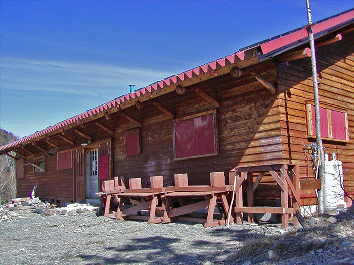
Sawara-jima

Elevation 1,120m
↓ 5hours 20 minutes
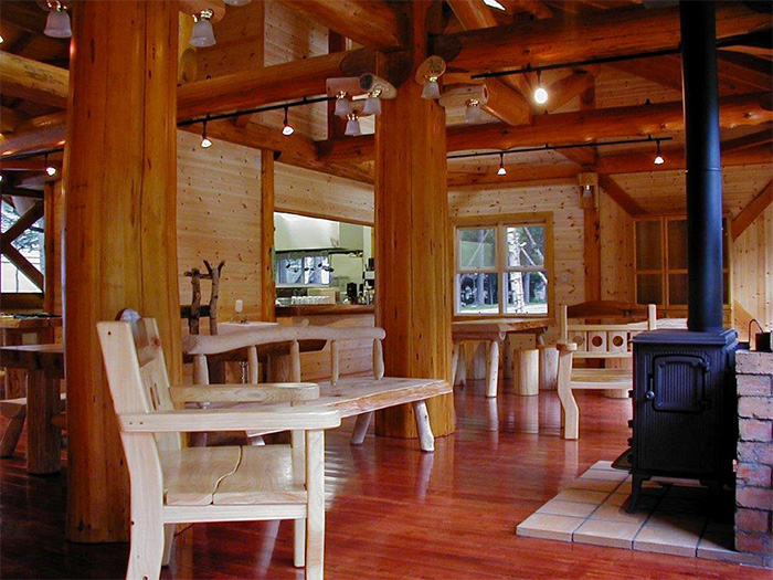
Akaishi-koya Mountain hut
Elevation 2,535m
↓ 45 minutes
Fujimi-daira
Elevation 2,700m
↓ 2hours 10 minutes
Sawara-jima descending point
Elevation 3,000m
↓ 30 minutes
Mt. Akaishi-dake
Elevation 3,120m
↓ 2hours 35 minutes
Akaishi-koya Mountain hut
Elevation 2,535m
↓ 3hours 45 minutes
Sawara-jima
Elevation 1,120m

Route Guide
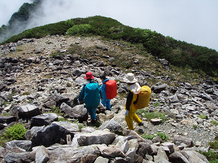
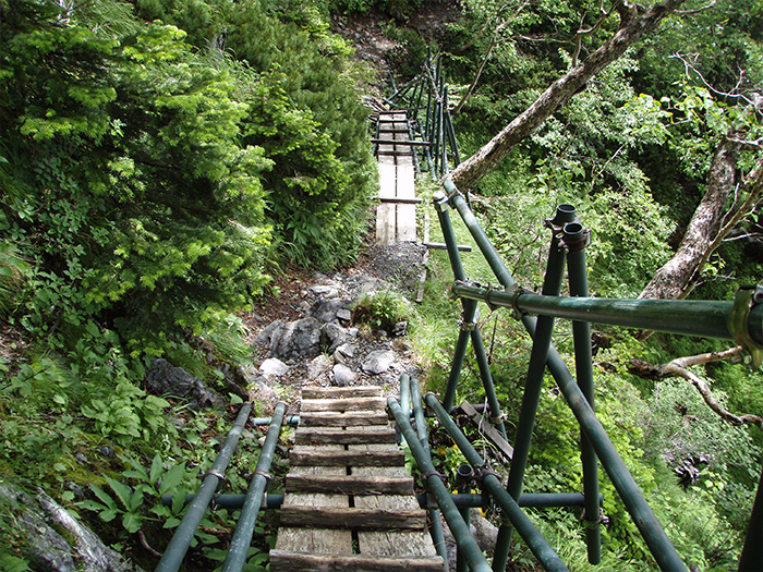
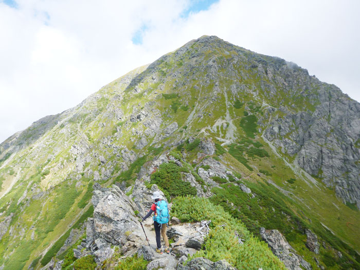
Actually, you will stay at Sawara-jima the night before you start your hike, so it will take one night and two days in the mountain. Higashi o’ne (O-kura o’ne) is the shortest route to climb Mt. Akaishi-dake. Follow a road sign, which leads to the Sawara forest. It comes to a logging road soon and meets the spot where a steel ladder is positioned. Climb the ladder and enter Higashi o’ne. Ascend through a forest in a zigzag pattern. After passing through the forest, the trail merges into the ridgeline. It is almost a vertical climb. The trail is very steep with no view so it might be depressing but you have to force yourself to walk through it.
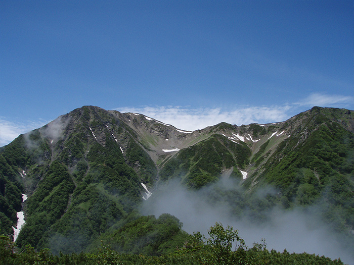
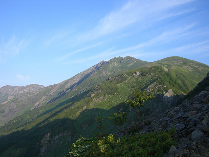
Your body may be adjusting by the time the trail finds itself covered by Betula Ermani. After passing Bokka-Gaeshi, a small peak is reached. The trail slightly traverses so that t is made easier to walk on. Mt. Hijiri-dake appears through Abies Veitchii trees. Akaishi-koya Mountain hut stands right in front of you. Mt. Akaishi-dake appears in your direction. The mountains on the right are The Arakawa Three Mountains. Mt. Hijiri-dake stands on the left. This is a phenomenal view for mountains lovers. After checking in at the hut, take time to enjoy the view. On the next day, after reaching Mt. Akaishi-dake, you will return to Sawara-jima. The number of walking hours is about 10. It is recommended that you go to bed early since you will start at sunrise on the following day.
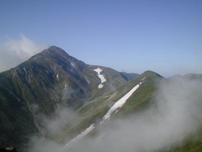
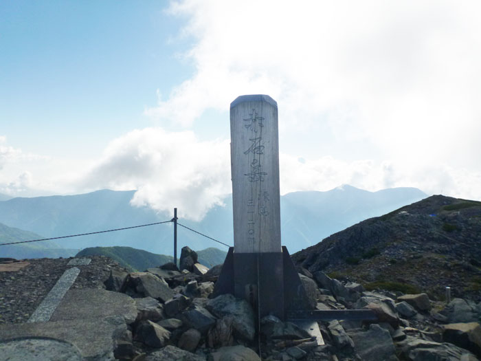
Sunrise in mid-summer. Depart before the mountains wake up. The trail soon is covered by Abies Veitchii. The trail is well beaten. The view widens after about 50 minutes of ascending. Fujimi-daira is close. Literally, Mt. Fuji-yama can be seen beautifully as well as Mt. Hijiri-dake and The Arakawa Three mountains. Take a short break and proceed in a hurry. Passing Taiho-style resting area, the trail enters a flower field and reaches the source of the Kita-sawa river. This is a spot to replenish your water supply. In the vicinity, Kuruma-yuri and Hakusan-furo may be in bloom. In front, the rocky ridgeline between Mt. Ko-Akaishi-dake and Mt. Akaishi-dake stands like a castle wall. Take a left turn and climb on the branch ridgeline of Mt. Akaishi-dake. The trail eventually meets up with the main ridgeline. Take a left and proceed about 30 minutes. Mt. Akaishi-dake is reached, where the first triangulation is set at an elevation of 3,120 m. The view is fantastic. The south part of the Southern Japan Alps, Mt.O-sawa-dake from Hyakken-daira, Mt. Nakamori-maru-yama, Mt. Usagi-dake, and Mt. Hijiri-dake can be seen.
Also the green ridgeline among these mountains is impressive. You need to be aware of time while resting, however, if time allows, it may be a great idea to spend another night at Akaishi-koya Mountain hut. Descend the same trail used for ascending to Sawara-jima.