Sky Corridor Route
②Hirogawara ~ Shiraneoike-koya junction ~ O-kanbasawa-futamata ~ Happonba saddle ~ Mt. Kita-dake ~ Kitadake sanso Mountain hut ~ Mt. Aino-dake ~ Mt. Notori-dake ~ Mt. Aino-dake ~ Happonba saddle ~ O-kanbasawa-futamata ~ Hirogawara
Technical level: C
Physical strength level: 8
Difficulty level: ⛰️⛰️⛰️⛰️
Take a round trip from Mt. Kita-dake on the ridgeline walk above 3,000 m elevation and enjoy Mt. Aino-dake and Mt. Notori-dake.
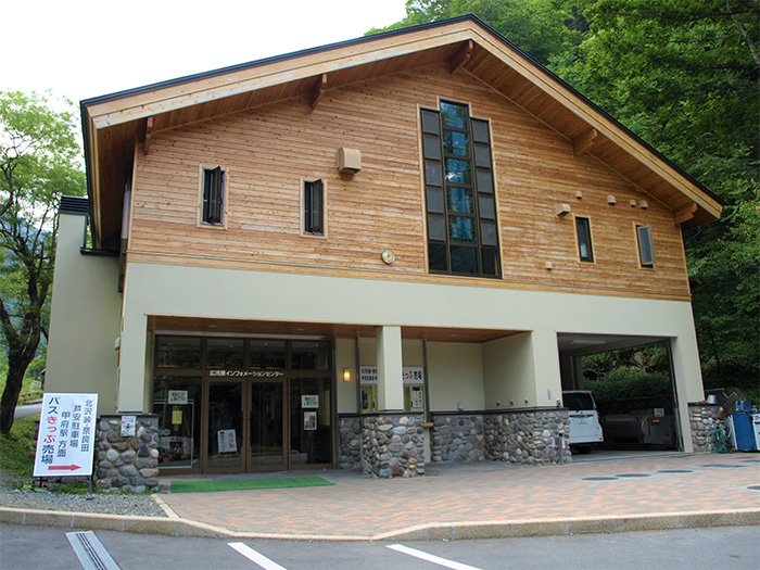
Access to Hirokawara from Ashiyasu
Access to Narada
●Hiking Data
Schedule: One night two days or two nights three days
Walking hours: 20 hours 30 minutes
(Up: 11 hours 40 minutes/Down: 8 hours 50 minutes)
Walking distance: 23.8 km
Difference in elevation: 3,496 m
Hirogawara

Elevation 1,520m
↓ 25 minutes
Shiraneoike-koya junction

Elevation 1,590m
↓ 2 hours 5 minutes
O-kanbasawa-futamata
Elevation 2,209m
↓ 2 hours 30 minutes
Happonba saddle
Elevation 2,920m
↓ 1 hour
Mt. Kita-dake
Elevation 3,193m
↓ 55 minutes
Kitadake sanso Mountain hut
Elevation 2,902m
↓ 1 hour 45 minutes
Mt. Aino-dake
Elevation 3,189m
↓ 3 hours
Mt. Notori-dake
Elevation 3,025m
↓ 3 hours 10 minutes
Mt. Aino-dake
Elevation 3,189m
↓ 2 hours 30 minutes
Happonba saddle
Elevation 2,902m
↓ 1 hour 10 minutes
O-kanbasawa-futamata
Elevation 2,209m
↓ 2 hours
Hirogawara
Elevation 1,520m

Route Guide
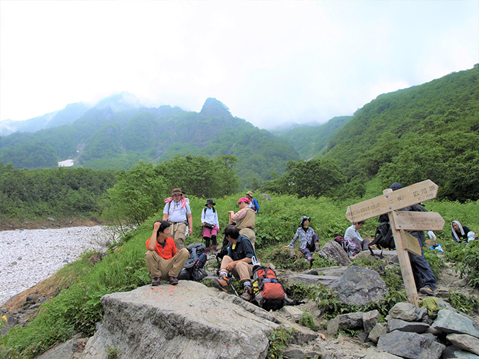
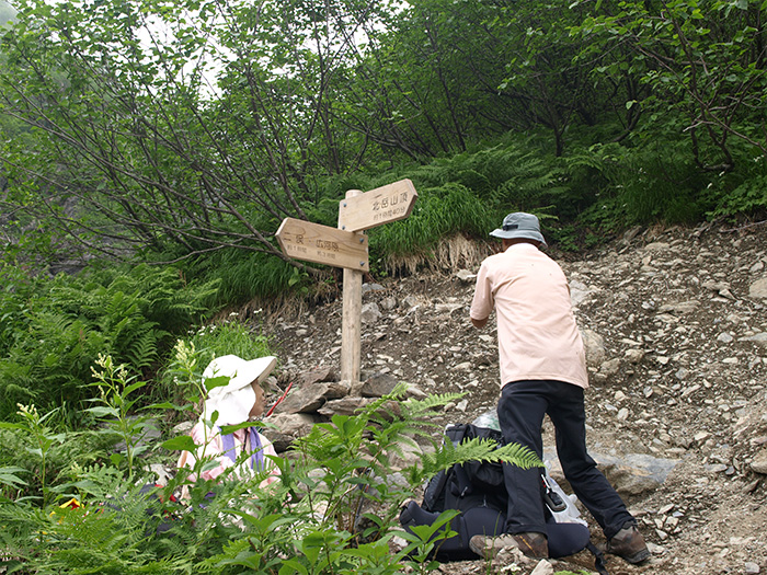
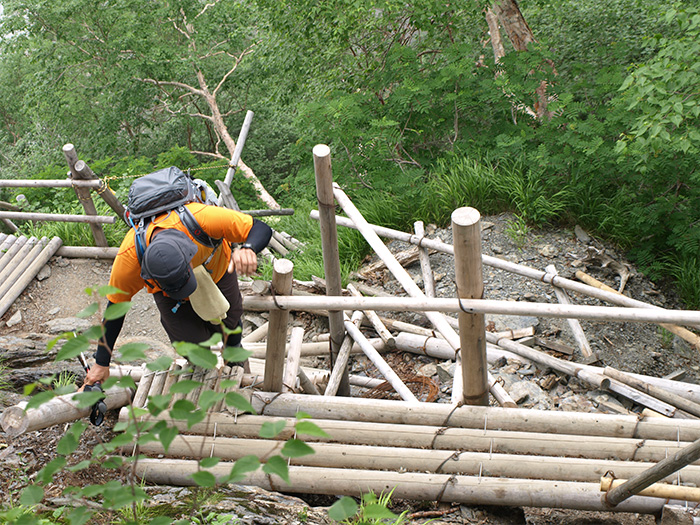
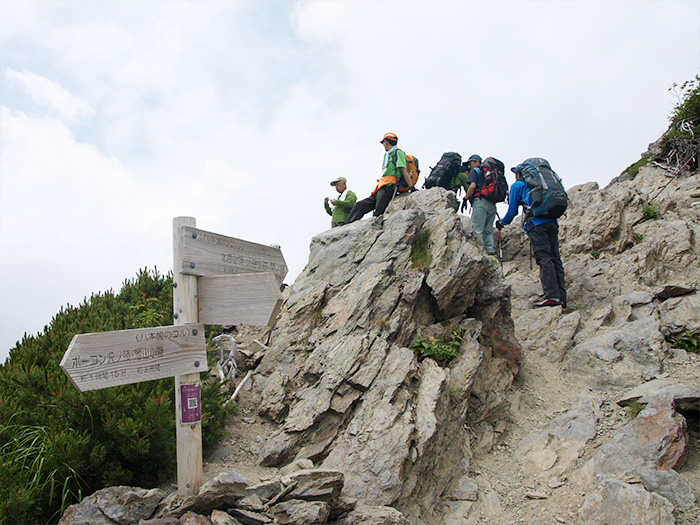
From Hirogawara, walk towards Kitazawa pass and cross a bridge over Noro river and proceed through a forest zone. In about 15 minutes, Shiraneoike-koya junction is reached. Proceed towards O-kanbasawa. There is a collapsed area so take a detour and cross the temporary bridge. Walk through the forest zone and make sure that you pay attention to your feet since the trail along the O-kanbasawa stream may be wet. Caution must be employed to prevent falls. Enter the trail covered by grass. Depending on the weather each year, a lot of snow may remain. A buttress, the only rock climbing cliff in the South Japan Alps, comes into sight on the right. O-kanbasawa-futamata will be reached shortly. It is an open space and suitable for a break. Toilets which employ a tipping system has been erected. From here, Shiraneoike-koya mountain hut can be reached. Rest as long as time allows. When you gain your strength back, head out to Happonba saddle. If snow in the valley remains, it might be a good idea to climb through it. You have to be careful for falling rocks from the buttress quite often when passing this point. If possible, the use of helmet is recommended. In about 2 hours and 30 minutes, Happonba saddle is reached. Take a short break.
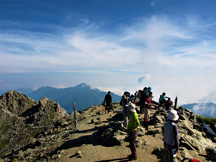
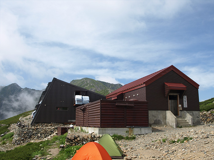
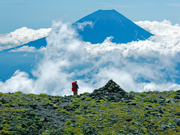
From the saddle, a sequence of ladders begin. The slope is steep so walk at your own pace. Tsuri o’ne junction is reached in about 40 minutes. It is recommended that you stay at Kitadake-sanso Mountain hut for the night so please climb the summit of Mt. Kita-dake within the day. By walking on the rocky ridgeline, the summit of Mt. Kita-dake is reached in about 20 minutes from the junction. The view from the summit at this, the second highest elevation in Japan is phenomenal. Mountains in the South Japan Alps, Mt. Fuji-yama, and mountains in the North and the Central Japan Alps can be seen. After enjoying the view thoroughly, descend to Tsuri o’ne junction and walk on the rocky ridgeline to Kita-dake-sanso Mountain hut. The hut was designed by a globally famous architect. Please stay the night at the hut. This route is set as one night or two nights three days. However, if you are not confident in your physical strength, you may want to stay two nights at Kita-dake-sanso Mountain hut so it gives you more time and makes the trip to Mt. Notori-dake more enjoyable.
On the next day, head to Mt. Aino-dake from the hut. Ascend a wide ridgeline with a great view. Passing the peak of Mt. Naka-shirane-san and keep hiking towards Mt. Aino-dake, which can be seen in your direction. It is a wide summit and makes it hard to find the route during bad weather. Caution must be employed. Descend the rocky and main ridgeline. It takes about one hour to Notori-koya Mountain hut. Be careful not to fall on the rocks. From Notori-koya mountain hut, ascend a steep slope in a zigzag pattern and Mt. Nishi-notori-dake is reached. The view is 360 degrees. The summit of Mt. Notori-dake is reached after passing a few of the rocky peaks. The summit is flat and good for resting. From Mt. Notori-dake, return to Kita-dake-sanso Mountain hut via the same route used for ascending. From the hut, do not proceed to Mt. Kita-dake but head to Happonba saddle and return to Hirogawara.