Shionomichi Trail Itinerary 3:Hiraiwa Station~Nakatsuchi Station
Hiraiwa Station~Nakatsuchi Station Himekawa~Ikehara
The sound of the Himekawa River gently penetrates this dream-like mountain trail. Along the steep mountain pass trails, feel the gentleness in the scent of the trees and the faces of Buddha carved into stones. This is a soothing trail that follows the sound of the river.
●Hiking data
Walking distance:19.1km
Time required:360 minutes
Altitude:262~700m
Hiraiwa Station
Elevation 262m
↓ 5 minutes
Himekawa
Elevation 271m
↓ 60 minutes
Kuzunoha Pass


Elevation 456m
↓ 35 minutes
Roadside station
Elevation 387m
↓ 110 minutes
Koda monument
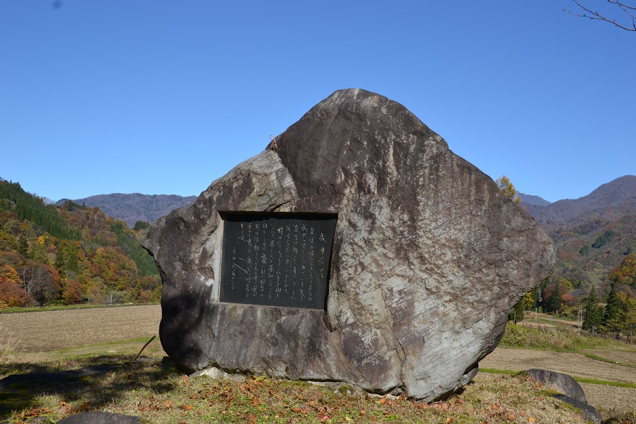
Elevation 698m
↓ 45 minutes
Ikehara
Elevation 568m
↓ 15 minutes
Nakatsuchi Station
Elevation 462m
Route Guide
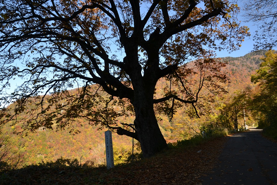
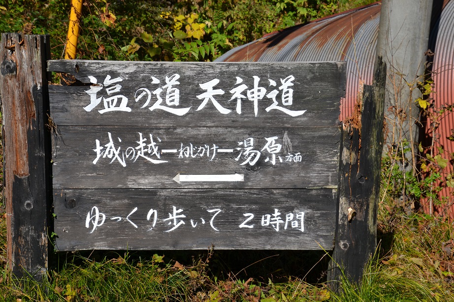
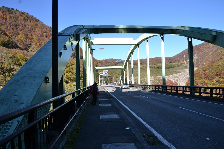
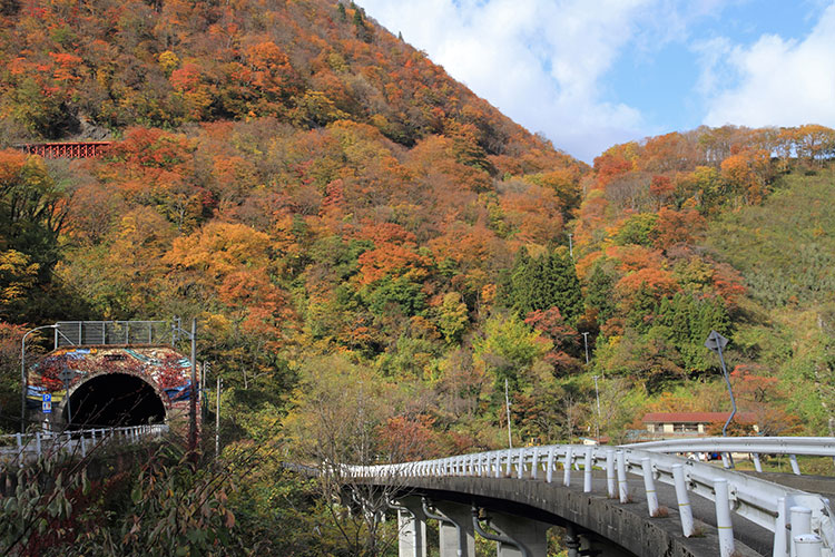
It takes an entire day to cover the distance of this itinerary and overlaps the Tenjindo-goe Course with the first half of the Ishizaka-goe course. Starting from Hiraiwa Station on the Oito Line, you will hike up the old Route 148. Next to the old road, you will come upon a 4.5-meter-tall horse chestnut tree where travelers used to rest. When you reach Kuzuha Pass and descend from here, you will come to the junction where the remains of Gamahara Onsen meet the new national highway. Once past the memorial monument, be careful of passing cars and cross the highway. If you continue on to the Kokkai Bridge and tunnel entrance, descend the temporary ladder on the lower righthand side of the bridge and walk underneath Kokkai Bridge, which will lead to the Shionomichi Trail. When you start to smell a sulphury odor, you will soon pass the Nekohana stone Buddha statues and entire the Yuhara district. Cross the national highway and enter the mountainside just before the tunnel and the Tenjindo-goe course and Ishizaka-goe course lie ahead, but both continue on for some distance so you may want to plan a rest stop at the Michi-no-eki roadside station or Kita-Otari Station along the way.