Shionomichi Trail Itinerary 1:Itoigawa Station-Nechi Station
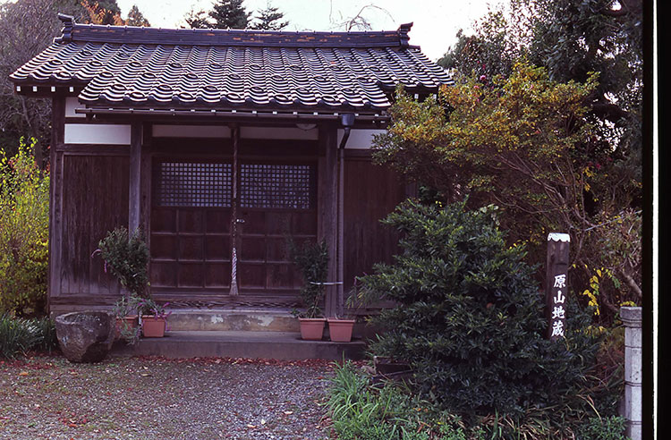
Itinerary 1:Itoigawa Station~Nechi Station Kilometer~Niodo
This trail is filled with variation as it takes you from the starting point at the Japan Sea, through town, and up to Nakayama Pass, the first mountain pass. It is a scenic trail that gives you a real feel for Mother Earth.
●Hiking data
Walking distance:13.2km
Time required:225 minutes
Altitude:6~182m
Route Guide
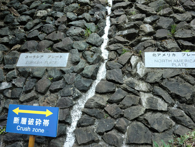
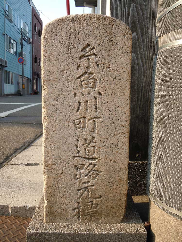
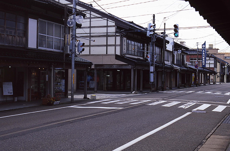
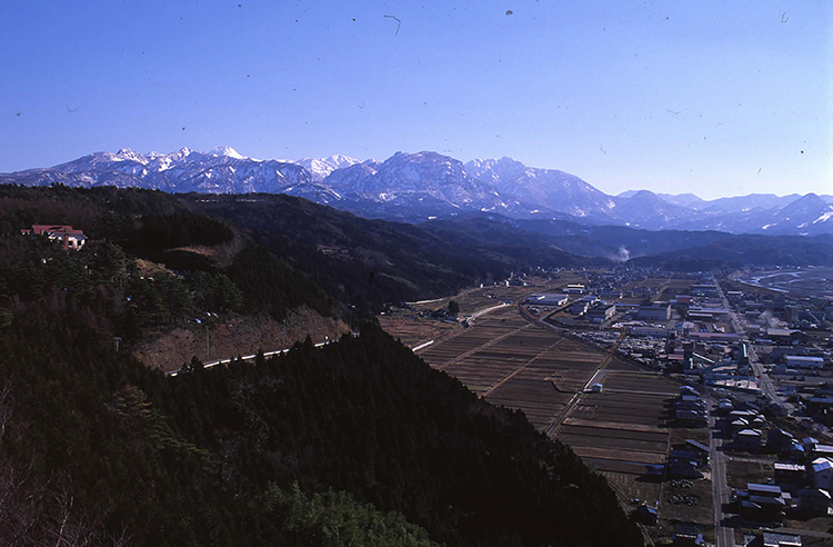
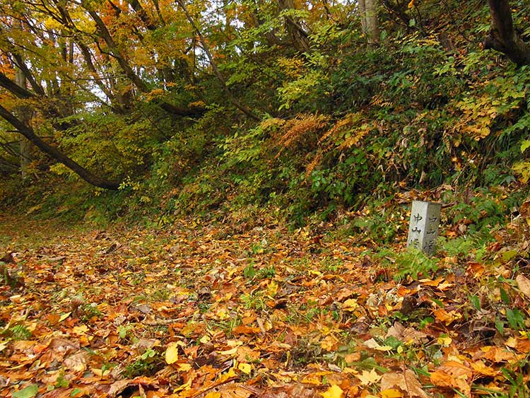
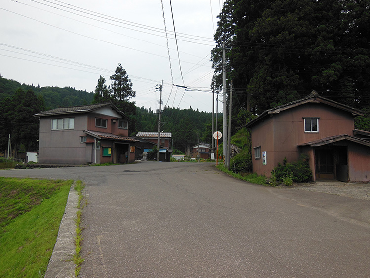
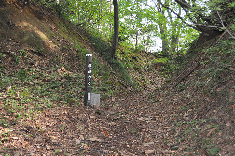
This is a satoyama area running from the urban center of Itoigawa to the forested roads of Nakayama Pass. One of the highlights of the ancient trail is the elevated lookout from Miyama Park, where you can see the Japan Sea up close to the north and a magnificent view of the mountains on the Nagano prefectural border to the south. Stroll around the town of Itoigawa seeing the ancient Kaga Kaido Highway and the milestone marking mile “0” that sits to the east of the Shionomichi Trail, which starts at the Japan Sea. Cross the JR train tracks and look down upon the expressway as you enter Miyama Park. You can also visit the nearby Fossa Magna Museum and Chojigahara Site, which dates back to the middle Jomon period. After you pass through the city and Ono hamlet, you will soon find yourself on a forest path. Walk through the U-shaped utou trail, which is a deep-set road that has been carved out of the terrain. When you pass Nakayama Pass, you will arrive at Nechi hamlet, which is home to Niodo. The area around Nakayama Pass is a bear habitat, so there are signs warning people to be careful.
The westbound course is difficult to walk when there is snow on the ground between December and May. In summer, the trail is covered in grass making some parts of the route difficult to find, so please walk with an experienced guide regardless of the season
