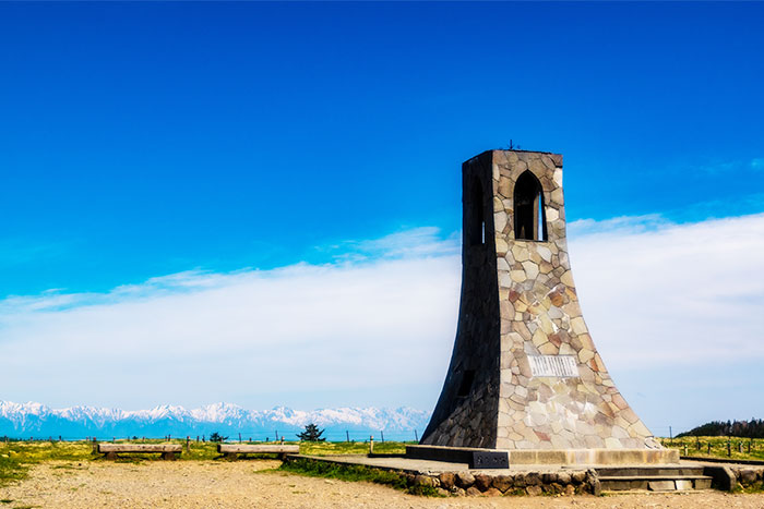
From Tobira pass to Mt. Chausu-yama, Utsukushi-gahara plateau/Tower of Utukushi
Region E: From Tobira pass to Mt. Chausu-yama, Utsukushi-gahara plateau/Tower of Utukushi
Technical level: B
Physical strength: 2
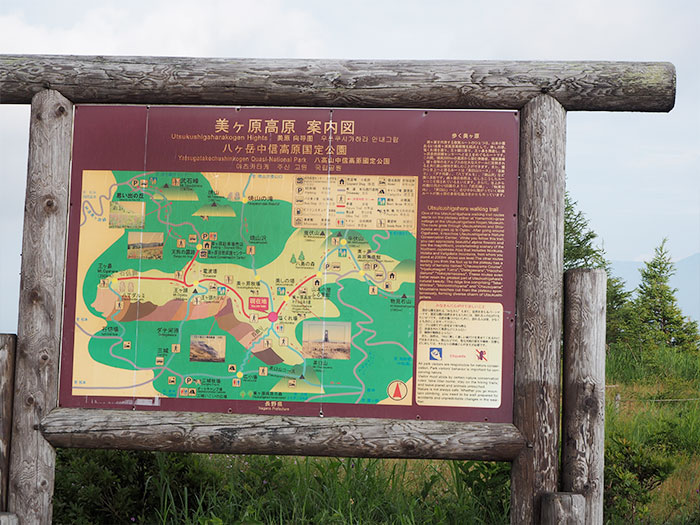
The last section, Region E is a section which starts from Tobira pass and continues into mountain climbing to the plateau of Utukushi-gahara and hiking on a wide plateau of Utsukushi-gahara. The official route is 4.7 km in length to the tower of Utsukushi, however, it is recommended to hike from Shiokureba to the highest peak of the cattle farm, Ouga-to.
●Hiking Data
Schedule: One day
Walking distance and walking hours: The official plateau hiking route of 4.7 km
2 hours 15 minutes ~
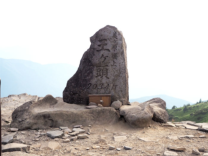
11 km to Yamamoto-koya Mountain hut via Ouga-to, Ouga-hana 4 hours 15 minutes ~
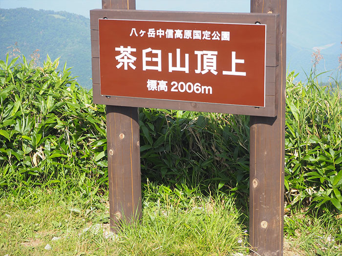
The highest peak 2,006 m (the official route, Ouga-to is 2,034 m)
The lowest peak 1,630 m
Variance in elevation 376 m
Route Guide
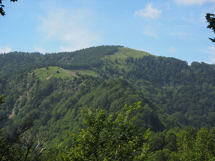
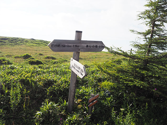
A trailhead to Mt. Chausu-yama is located across the road from a drive-in store in Tobira pass. The trail becomes steep suddenly so some of you who have walked to this point, might find this uphill hard. The wide plateau of Utsukushi-gahara will be reached after an effort of climbing up nearly 400 m. Take a short break at Mt. Chausu-yama, then head out to the core of Utsukushi-gahara. Proceed through the farm to Shiokureba, the tower of Utsukushi is very close.
The goal of the official central Bunsuirei route is the tower of Utsukushi, however, it is recommended to hike to the highest peak of Utukushi-gahara, Ouga-to and Ouga-hana for about 1 hour and a half. When you come closer to Ouga-to or Ouga-hana, the view of the North Japan Alps becomes closer. A bus to Utsukushi-gahara runs only once a day in August. If you visit the area besides August or other times, it is recommended that you stay at Yamamoto-koya Mountain hut and have them take you to the JR station.
