From Yashima shitsugen to the peak of Mt. Washiga-mine to Wada pass to Mt. Mitsumine-yama to Tobira pass
Region C: From Yashima shitsugen to the peak of Mt. Washiga-mine to Wada pass
Technical level: B
Physical Strength level: 2
Since Region C and Region D are of shorter distance, they will be introduced together.
Region C is a route to Mt. Washiga-mine (1,798 m). A view from the north slope of this route is fantastic. Be aware that even though the distance is the shortest among other regions, however, ups and downs along the trail are steep and it takes longer than what you think.
The second half, Region D, ascends to Mt. Mitsu-mine-yama and descends to Tobira pass. Ups and downs are not as hard as Region C, which makes especially the second half route more comfortable mountain hiking,
●Region C Hiking Data
Region C:From Yashima shitsugen to the peak of Mt. Washiga-mine to Wada pass
Schedule: One day
Walking distance and walking hours: A hiking of ups and downs over 3.8 km (the official route) 2 hours 45 minutes ~
The highest elevation 1,798 m
The lowest elevation 1,511 m
Variance in elevation 287 m
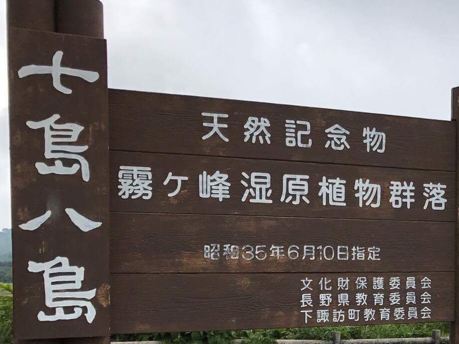
Yashima-gahara shitsugen

Elevation 1,540m
↓ 45 minutes~
Mt. Washiga-mine
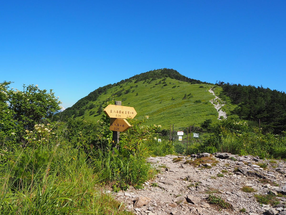
Elevation 1,798m
↓ 1 hour 30 minutes~
Wada pass tunnel
Elevation 1,511m
↓ 30分 minutes~
Wada pass Kotouge
Region D: From Wada pass to Mt. Mitsumine-yama to Tobira pass
●Region D Hiking Data
Region D: From Wada pass to Mt. Mitsumine-yama to Tobira pass
Schedule: One day
Walking distance and hours: Plateau hiking in 5.5 km (the official route)
2 hours 30 minutes ~
The highest peak 1,887 m
The lowest peak 1,511 m
Variance in elevation 376 m
Wadako pass
Elevation 1,600m
↓ 1 hour 30 minutes
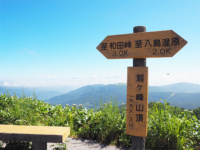
Mt. Mitsu-mine-yama

Elevation 1,887m
↓ 1 hour~
Tobira pass
Elevation 1,630m


Route Guide
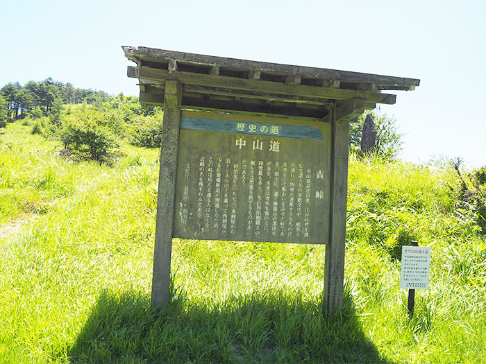
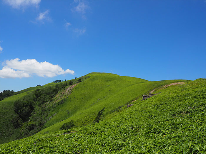
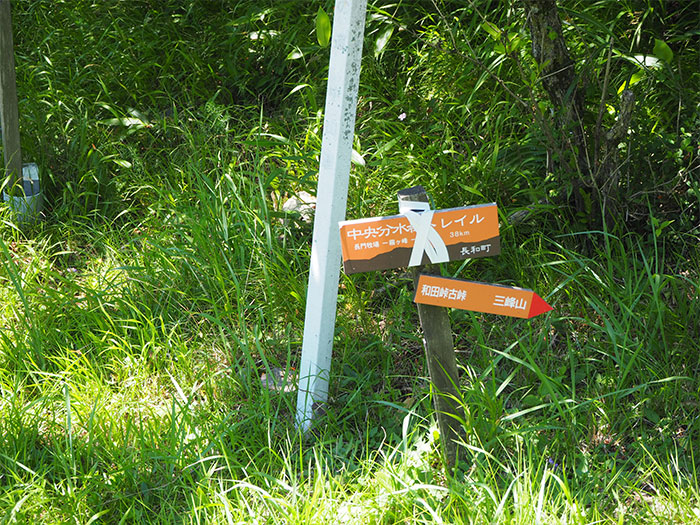
After ascending the forest of Yashima shitsugen, the view becomes wider and Mt. Washiga-mine can be spotted. Mt. Washiga-mine stands at the west end of the Kiriga-mine mountains. From the summit, the view is phenomenal and the starting point of the Nagato cattle farm can be spotted in the far east. From the summit, the trail goes through steep ups and downs. Especially downhills are slippery gravel roads, therefore caution must be practiced. Descend to the national road and ascend back up, then Wada pass on the old Nakasen-do will be reached. Wada pass (1,600 m), the highest peak out of Nakasen-do, was the most difficult section among the Nakasen-do. From this point, Region D begins. Like Region C, the trail includes ups and downs, however, the view is not as open as the first half.
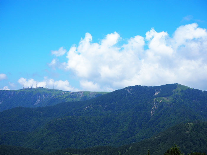
After passing through the forest zone, the trail reaches Mt. Mitsu-mine-yama, the climax of the Central Bunsuirei. Follow the straight pass covered by Veitch’s bamboo leaves, then the peak of the plateau, which is beautiful like a picture, will be reached. The left ridgeline is Bunsuirei line. Proceed towards the north to descend. You must resist a feeling that you do not want to leave the peak. After descending a while, an electric tower of Ouga-to, which appeared to be very far from Mt. Kuruma-yama, becomes closer. Descend the trail to the junction where the trail meets the venous line, which is the Tobira pass.