From Daimon pass to Mt. Kiriga-mine and Yashima shitsugen via Yamabiko o’ne
Region B. From Daimon pass to Mt. Kiriga-mine and Yashima shitsugen via Yamabiko o’ne
Technical level: B
Physical strength: 2
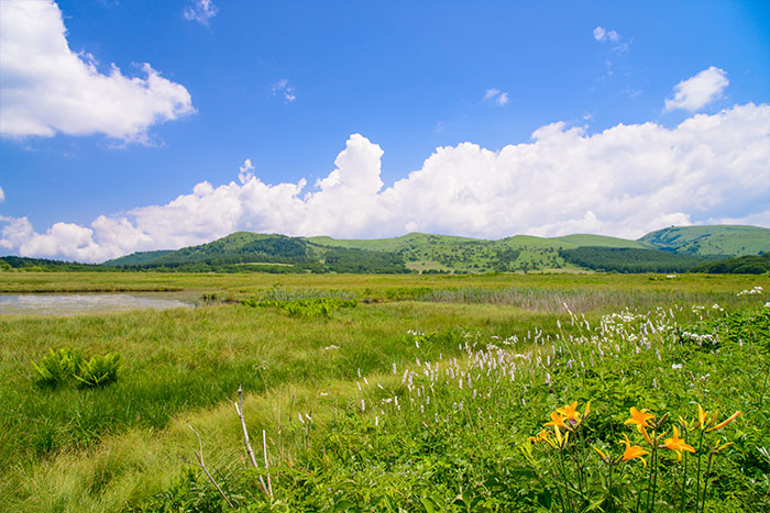
This is Kiriga-mine plateau section, representing the central Bunsuirei trail.
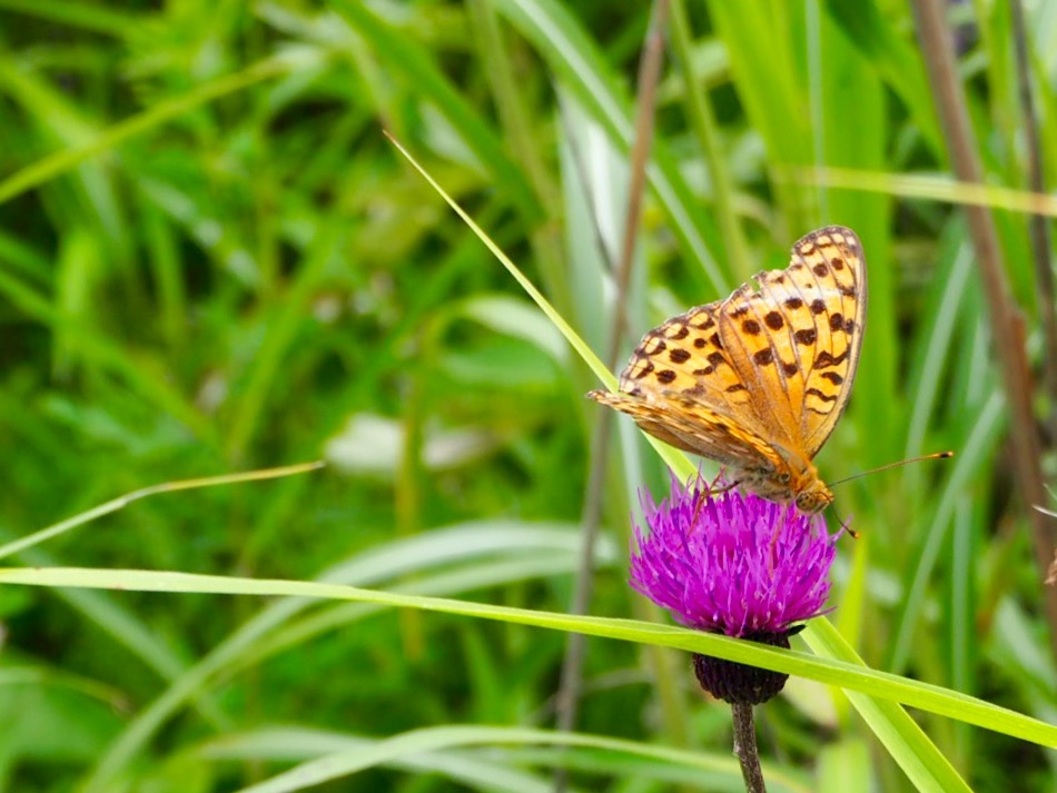
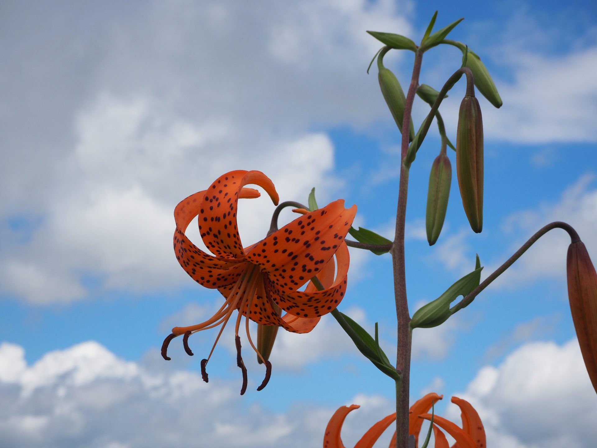
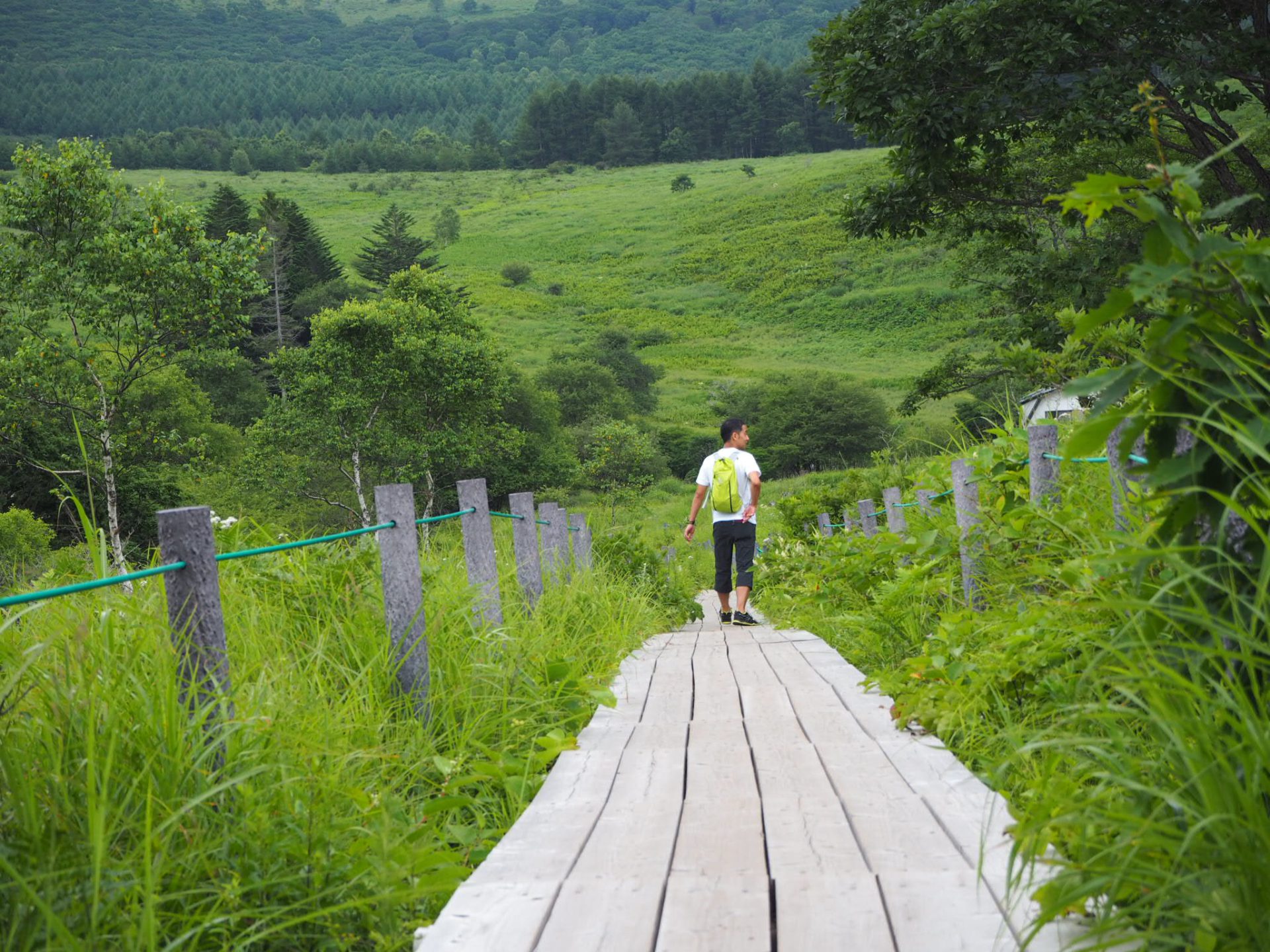
The first half is an uphill route with the biggest variance in elevation in the entire route. It is a little bit of a hard uphill, however, you can enjoy beautiful scenery along the route. If time allows, it is recommended that you take a loop route to the summit of Mt. Kuruma-yama (Japanese top 100 mountains, Kiriga-mine plateau) and Yashima shitsugen.
●Hiking Data
Schedule: One day
Walking distance and hours: A plateau hiking of 8.6 km (The official route via the summit of Mt. Kuruma-yama takes an additional 1.8 km). An ascending section, especially for the first half, is long. 4 hours 20 minutes ~
The highest peak 1838 m (The official route-Minami-no-mimi, the peak of Mt. Kuruma-yama is 1924 m)
The lowest peak 1441 m
Variance in elevation 397 m (The official route)
Daimon pass

Elevation 1441m
↓ 2:15~
The peak of Mt. Kuruma-yama
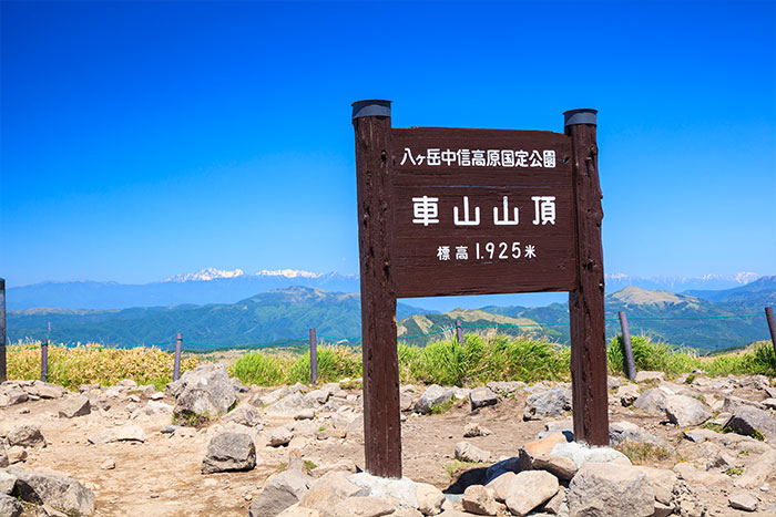
Elevation 1924.7m
↓ 0:30~
Minami-no-mimi
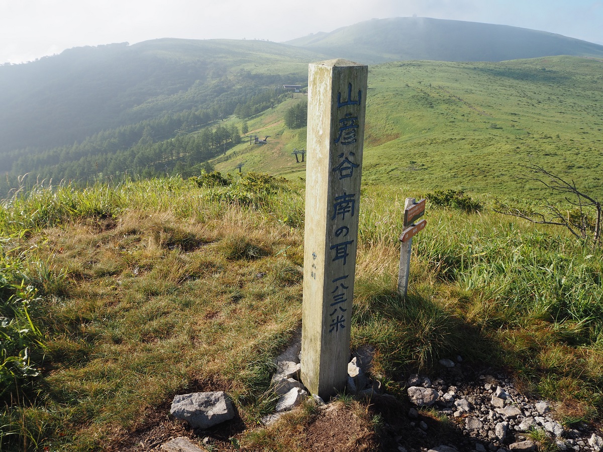
Elevation 1838m
↓ 0:20~
Kita-no-mimi
Elevation 1829m
↓ 0:20~
Mt.Omekura-yama(Mt. Zebra)

Elevation 1776m
↓ 0:30~
Okukiri-koya Mountain Hut(closed)
Elevation 1647m
↓ 0:30~
Yashima shitsugen route
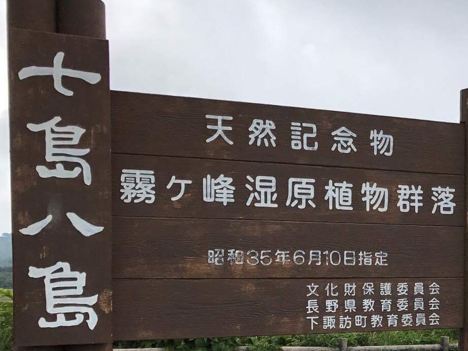
Elevation 1646m

Route Guide
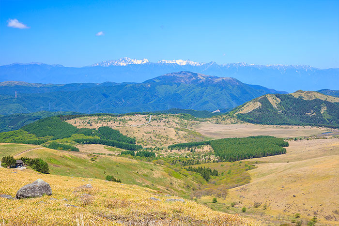
From Daimon pass to Mt. Kuruma-yama, the trail ascends all the way through. This straight uphill is steep, however, in good weather, the mountains from Tateshina to Yatsuga-take can be seen behind one on the left. This can be an enjoyable plateau hiking.
Visit the summit of Mt. Kuruma-yama, off the official route via the ski resort of Mt. Kuruma-yama. The trail section from here to the Minami-no-mimi, Kita-no-mimi, and Mt. Zebra is the highlight of this path. By walking on this hiking route, you can find yourself in the very center of the Japanese mountains, with Mt. Asama-yama in the north, Mt. Yatsuga-take in the east, the Central Japan Alps in the south and the North Japan Alps in the west. I believe that most hikers visiting this route would feel like they do not want to leave the trail and want to stay here longer. Descend from Mt. Zebra to the promenade of Yashima-gahara shitsugen, the famous spot in Mt. Kiriga-mine. An entrance to Yashima-gahara shitsugen is the terminal point of Region B.