From the Nagato cattle farm to Daimon pass
Region A:From the Nagato cattle farm to Daimon pass
Technical level: B
Physical strength: 2
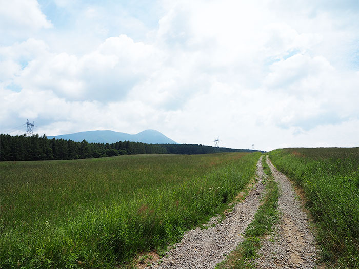
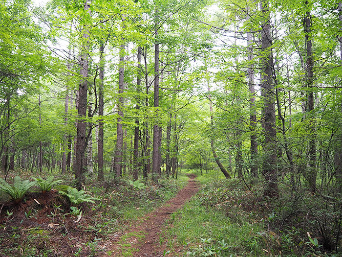
While viewing the beautiful form of Mt. Tateshina-yama, walk mainly through forests for this route.
●Hiking Data
Schedule One day
Walking distance and hours: 9.8 km
A hiking through the cattle farm and forest 4 hours 20 minutes ~
The highest altitude: 1,570 m
The lowest altitude: 1,320 m
Variance in elevation: 250m
The Nagato cattle farm

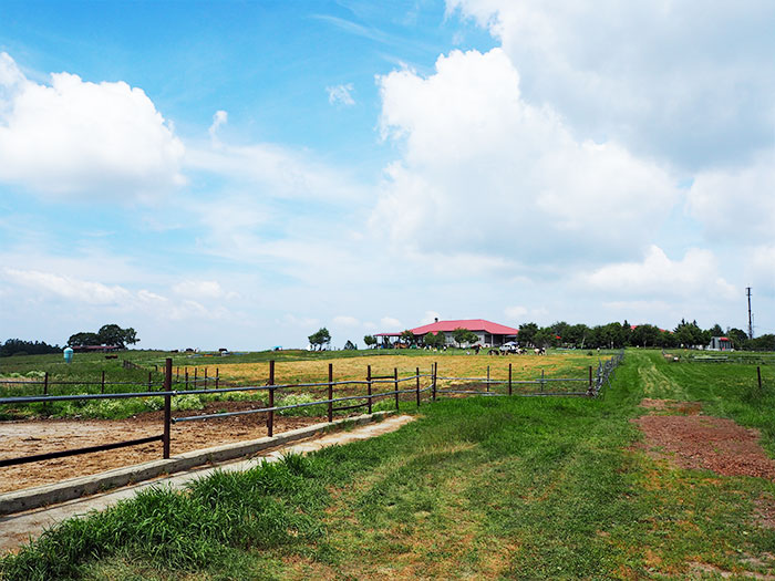
Elevation 1410m
↓ 60 minutes
Ushikubi remain
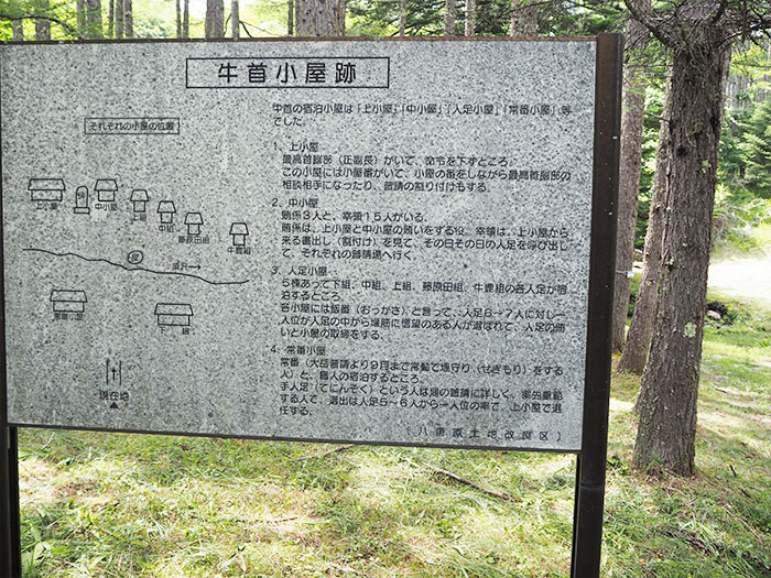
Elevation 1505m
↓ 40 minutes
Megami lake
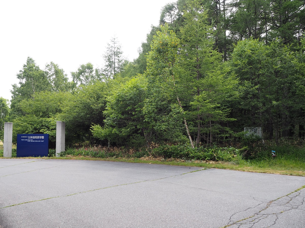
Elevation 1550m
↓ 50 minutes
Irrigation canal

Elevation 1440m
↓ 40 minutes
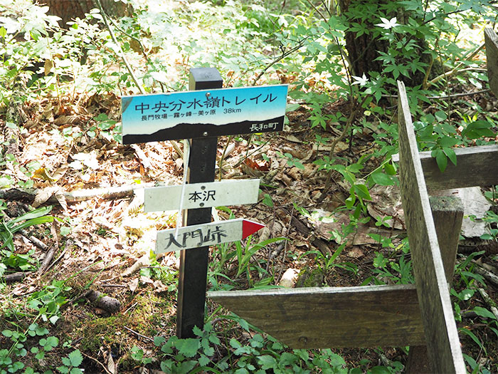
Honsawa
Elevation 1320m
↓ 50 minutes
Takawarabi
Elevation 1504m
↓ 15 minutes
Daimon pass
Elevation 1441m
Route Guide
From Shirakaba lake, take a bus from Tateshina-machi to the Nagato cattle farm.
An entrance of the farm is located shortly down from the bus road. This Nagato cattle farm is the starting point of the long trail. A sign “Central Bunsuirei” has been set up here by Nagawa-machi.
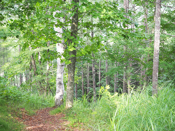
When you enter the trail of the farm, the beautiful form of Mt. Tateshina-yama can be seen.
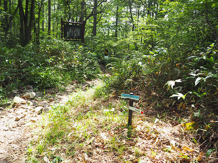
Pass the large cattle farm and follow the road signs. The trail enters into the quiet forest. The remains of Ushikubi can be reached after a while. These are the remains of where the irrigation weir was closed in the Edo era and maintained by the village. Passing the remains, pass under a high voltage line and walk past the 1,570 m altitude peak until you reach a soccer ground. The trail merges into pavement for once. There will be a road sign, which leads you to turn right just before Megamiko Plateau Gakuen.
Go straight onto the logging road then take a perpendicular turn to your right. Continue for a while then take a sharp left turn.
Use road signs set by Nagawa-machi as your guide. You will reach Honsawa via an irrigation canal. From that point, the trail becomes steep, which is the only steep place on this route. After Takawarabi, the peak point of this route, the trail descends gradually to Daimon pass.
The route goes through forests and meets some forest maintenance roads, which makes it harder to follow the right path. Caution must be practiced.