Oritate – Kumono-daira Route
②Oritate ~ Taro-daira-koya Mountain hut ~ Yakushi-sawa-koya Mountain hut ~ Kumono-daira-sanso Mountain hut ~ Iwagoke-nokkoshi ~ Mt. Suisho-dake ~ Mt. Washiba-dake ~ Mt. Kurobe-goro-dake ~ Mt. Taro-yama ~ Oritate
Technical level: C
Physical strength level: 10
Difficulty level: ⛰️⛰️⛰️⛰️⛰️
From Oritate as a starting point, hike to Kumono-daira and proceed to Mt. Suisho-dake and Mt. Washiba-dake
●Hiking Data
Schedule: Three nights and four days
Walking hours: 29 hours 35 minutes
(Up: To Mt. Washiba-dake: 16 hours 30 minutes/Down: From Mt. Washiba-dake to Oritate: 13 hours 5 minutes)
Walking distance: 45.8 km
Difference in elevation: 4,079 m
Oritate

Elevation 1,350m
↓ 5 hours
Taro-daira-koya Mountain hut
Elevation 2,330m
↓ 2 hours 15 minutes
Yakushi-sawa-koya Mountain hut
Elevation 1,920m
↓ 3 hours 20 minutes
Kumono-daira-sanso Mountain hut
Elevation 2,500m
↓ 2 hours 5 minutes
Iwagoke-nokkoshi
Elevation 2,730m
↓ 1 hour 30 minutes
Mt. Suisho-dake
Elevation 2,986m
↓ 2 hours 20 minutes
Mt. Washiba-dake
Elevation 2,924m
↓ 5 hours 30 minutes
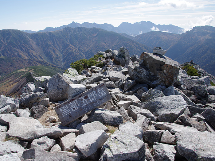
Mt. Kurobe-goro-dake
Elevation 2,839m
↓ 4 hours 25 minutes
Mt. Taro-yama
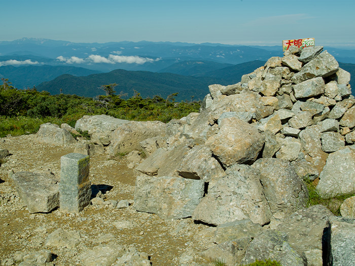
Elevation 2,373m
↓ 3 hours 10 minutes
Oritate
Elevation 1,350m
Route Guide
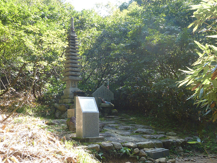
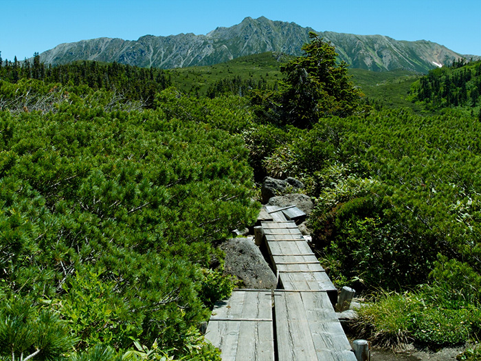
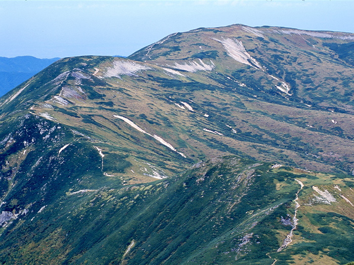
Make preparations at a resting area in Oritate before you head out. There is a place to replenish your water supply. Make sure that you fill your water bottles up here. On the left, a memorial monument for the 13 Aichi University students who lost their lives while climbing to Mt. Yakushi-dake in year of 1963 stands. Please pay your respects to them before you start. The trail enters through a forest zone. It is a steep slope, however it might not feel like a hard uphill since the trail ascends in a zigzag pattern. The triangulation bench is reached when tree height becomes lower. After passing this point, the trail goes through a forest zone and a grassy zone on two occasions. When it arrives at the plateau, the trail becomes covered by Pinus Pumila and Chishima-zasa, a kind of a bamboo plant. Arimine Lake can be spotted when looking back. Taro-daira-koya Mountain hut is reached after an uphill on the well-maintained trail. From here, head out to Yakushi-sawa-koya-Mountain hut. A boardwalk leads to a forest. There are a few occasions where you will cross the stream up to Samata-deai. Caution must be employed when the river level is high. Kabekke-gahara, is where it is said that Kappa, a well-known mythological creature in Japan, resides. Yakushi-sawa-koya Mountain hut is located just ahead of Kabekke-gahara. Besides mountain hikers, many visit this hut for char fishing. It is recommended that you stay at this hut for the night.
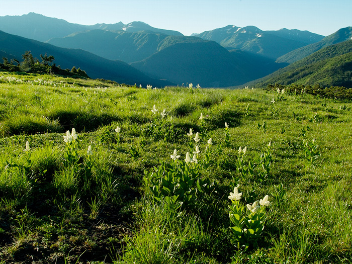
On the next day, please hike to Mt. Suisho-dake. From Yakushi-sawa-koya Mountain hut, head to Kumono-daira-sanso Mountain hut. Walk through Alaska garden and Greece garden. Turn left at the junction to Mt. Ji-dake. Pass the summit of Mt. Ji-dake at an elevation of 2,825 m and hike to Warimo-kita junction. Turn left at the junction and head to Mt. Suisho-dake. Without big ups and downs, the summit of Mt. Suisho-dake can be reached. Suisho-koya Mountain hut locates at the junction of Ura-ginza ridgeline. It is recommended that you stay at the hut for the night.
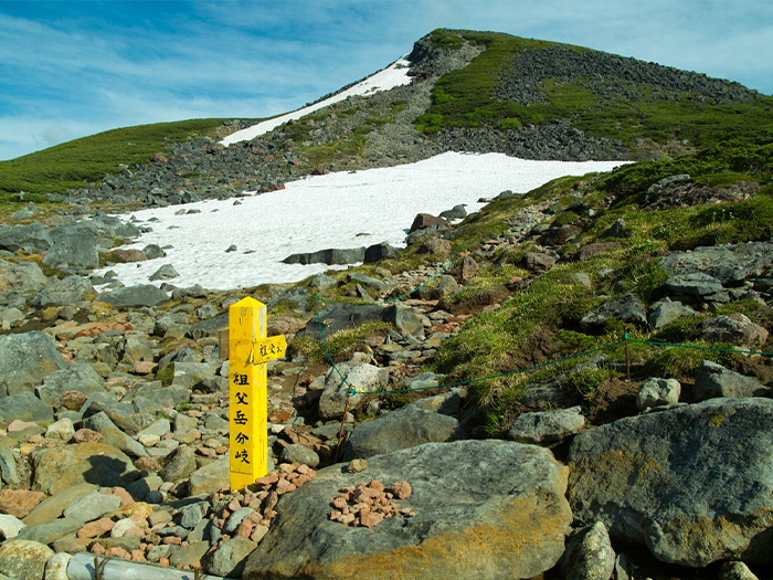
On the third day, please hike to Mt. Washiba-dake. Walk while seeing the mountain in your direction. There are some traversing points guided by ropes. It should not be dangerous if you pay attention to your feet. After enjoying the view of Mt. Yari-gatake and the Hotaka mountains, descend a steep slope on the ridgeline to Mitsumata-sanso Mountain hut. From here, proceed to Kurobe-goro Mountain hut, where it is recommended that you stay for the night. From Mitsumata-sanso Mountain hut, the route separates into two. One goes to the right of the hut. There may remain snowy valleys occasionally so caution must be employed. The other route goes through Mt. Mitsumata-renge-dake. It takes about 30 minutes extra, but the view is phenomenal. After the two routes merge into one, Kurobe-goro Mountain hut can be reached in about 1 hour. From the hut, Kumono-daira, where you hiked the day before, can be seen.
On the last day, please hike to Mt. Kurobe-goro-dake while enjoying the view of the Kurobe-goro depression. You may stop to take photos very often along this trail. In about 15 minutes from the shoulder of Kurobe-goro, the summit will be reached. The view of Mt. Yari-gatake and the Hotaka Mountains is great. After enjoying the view, descend a steep slope from the shoulder and head out to Mt. Kitano-mata-dake direction. Follow the ridgeline to Mt. Taro-yama. From here, descend the same trail used for ascending.