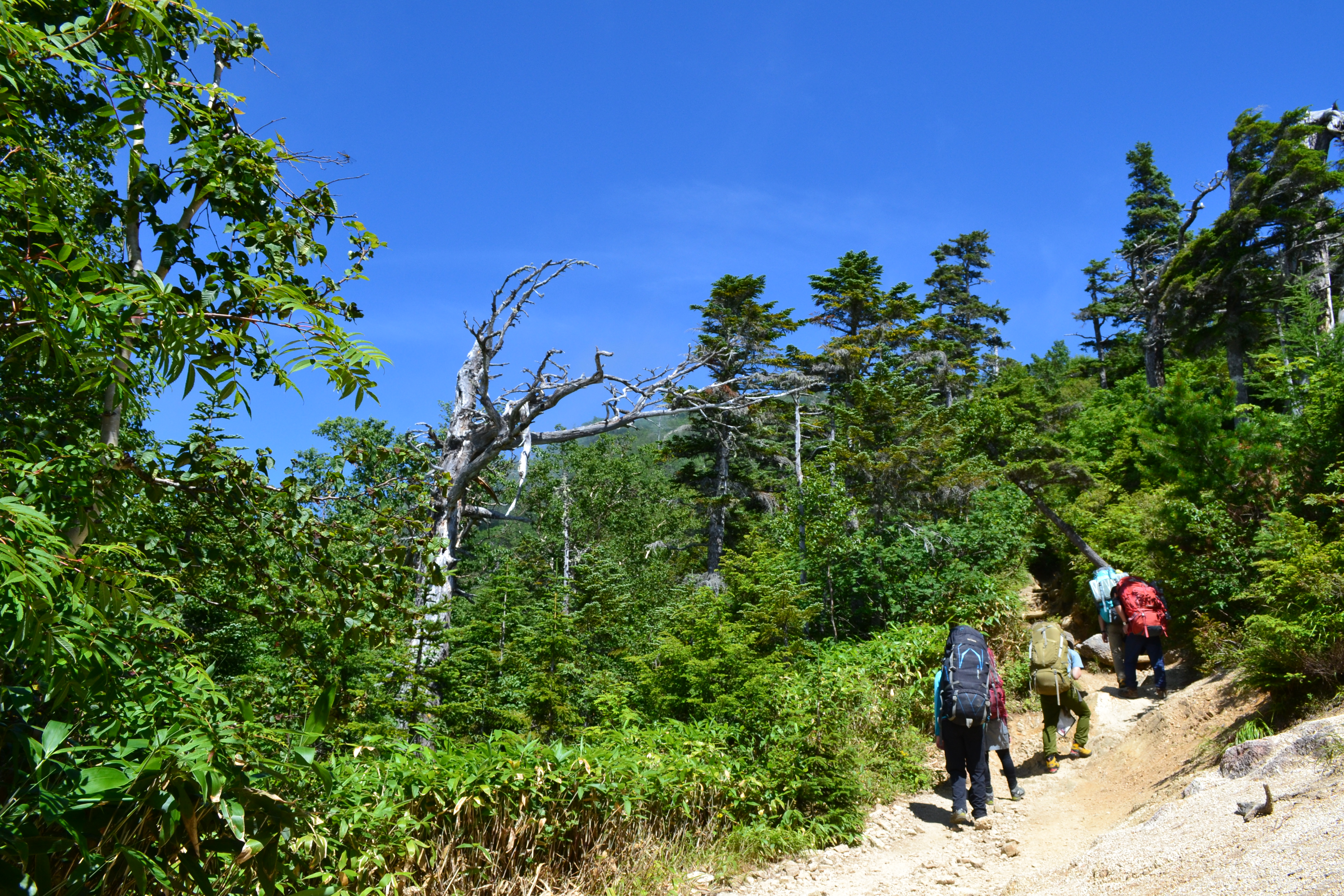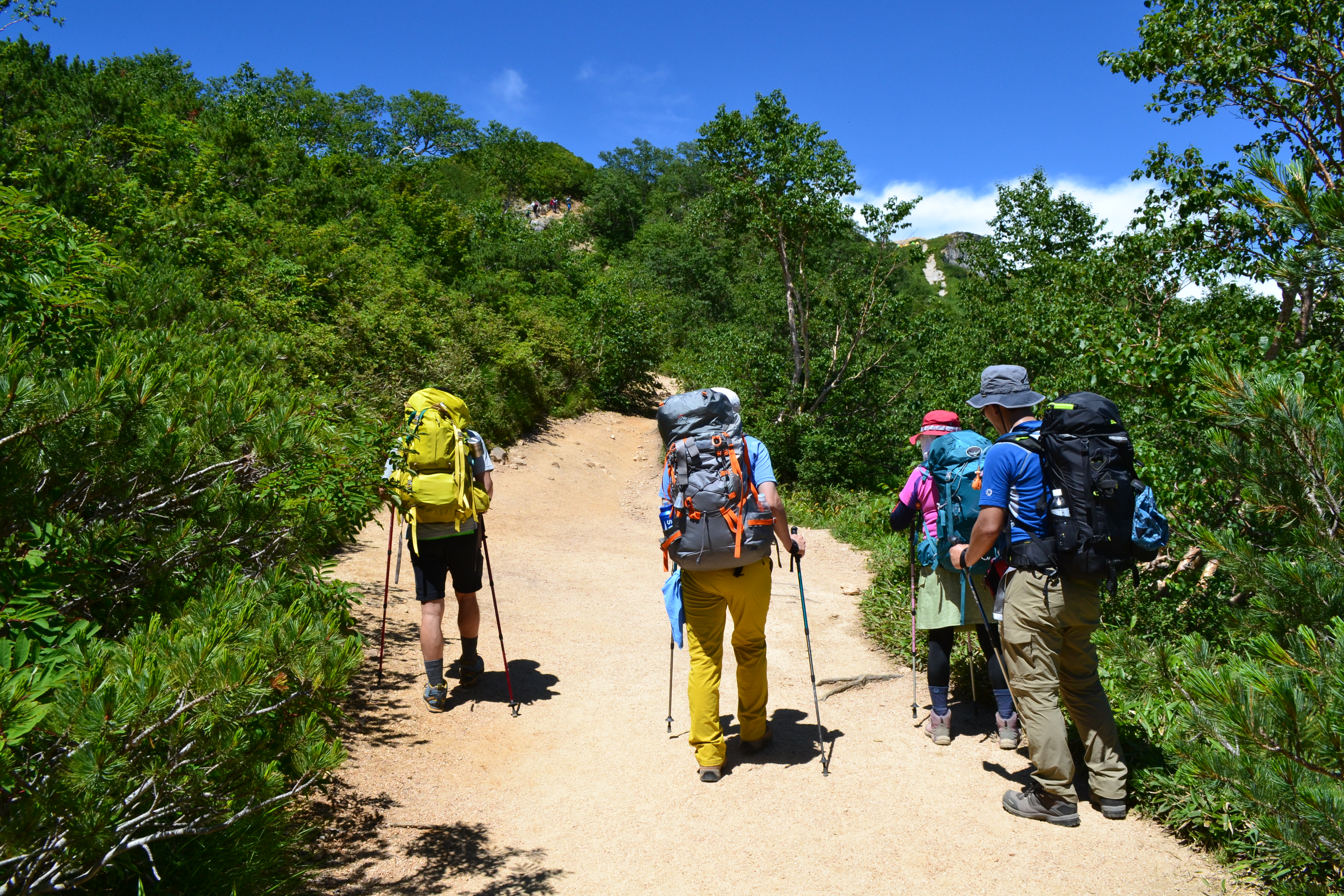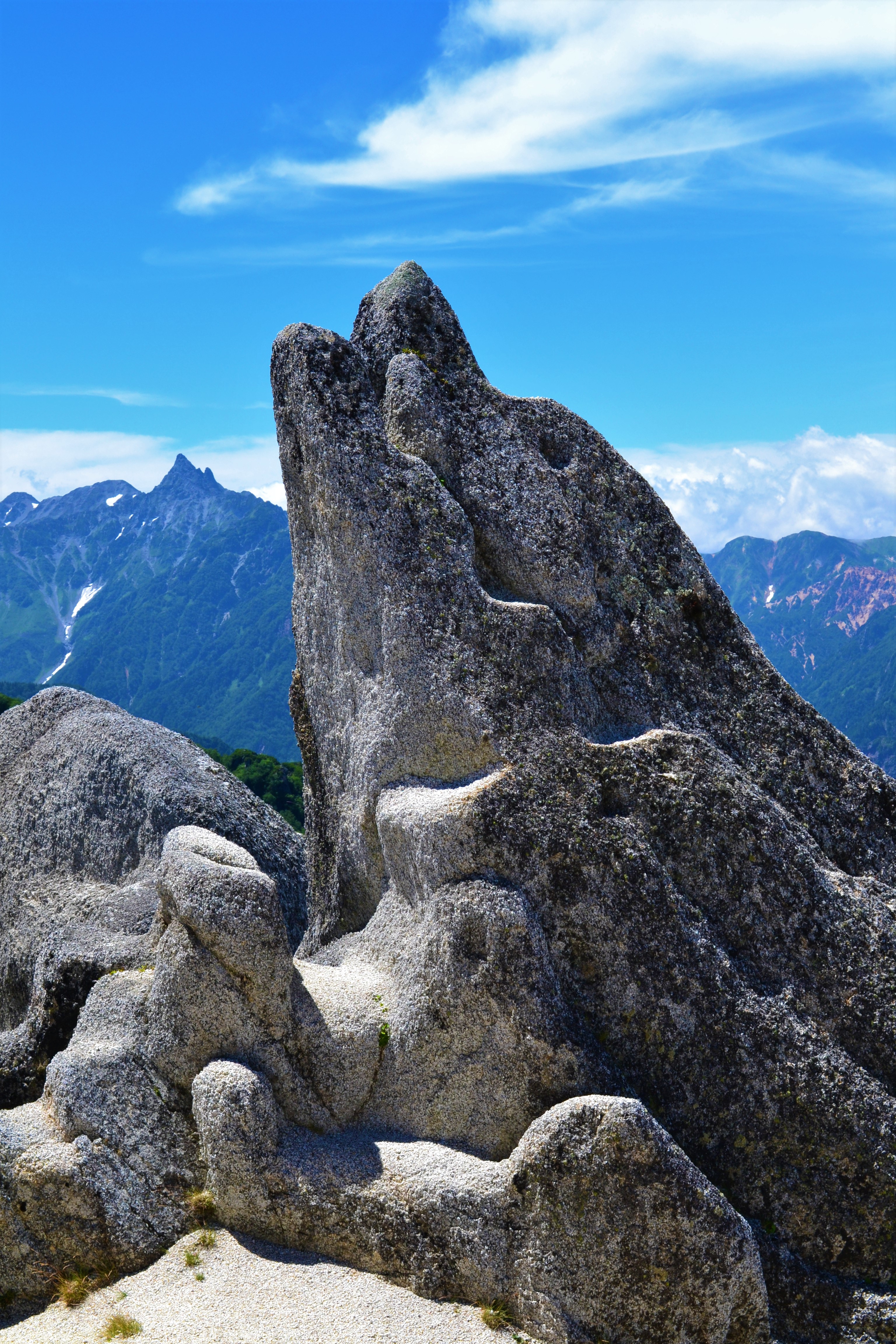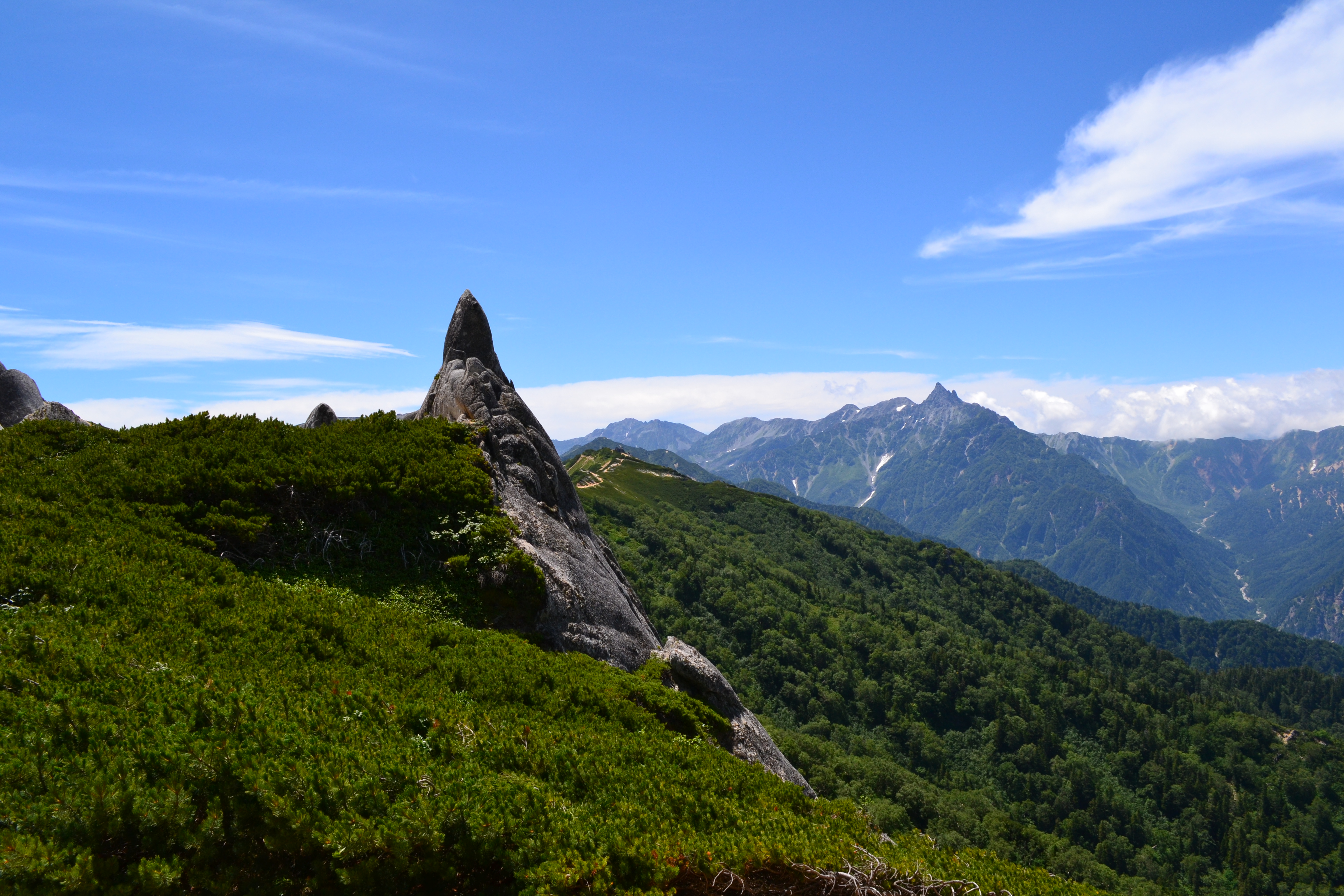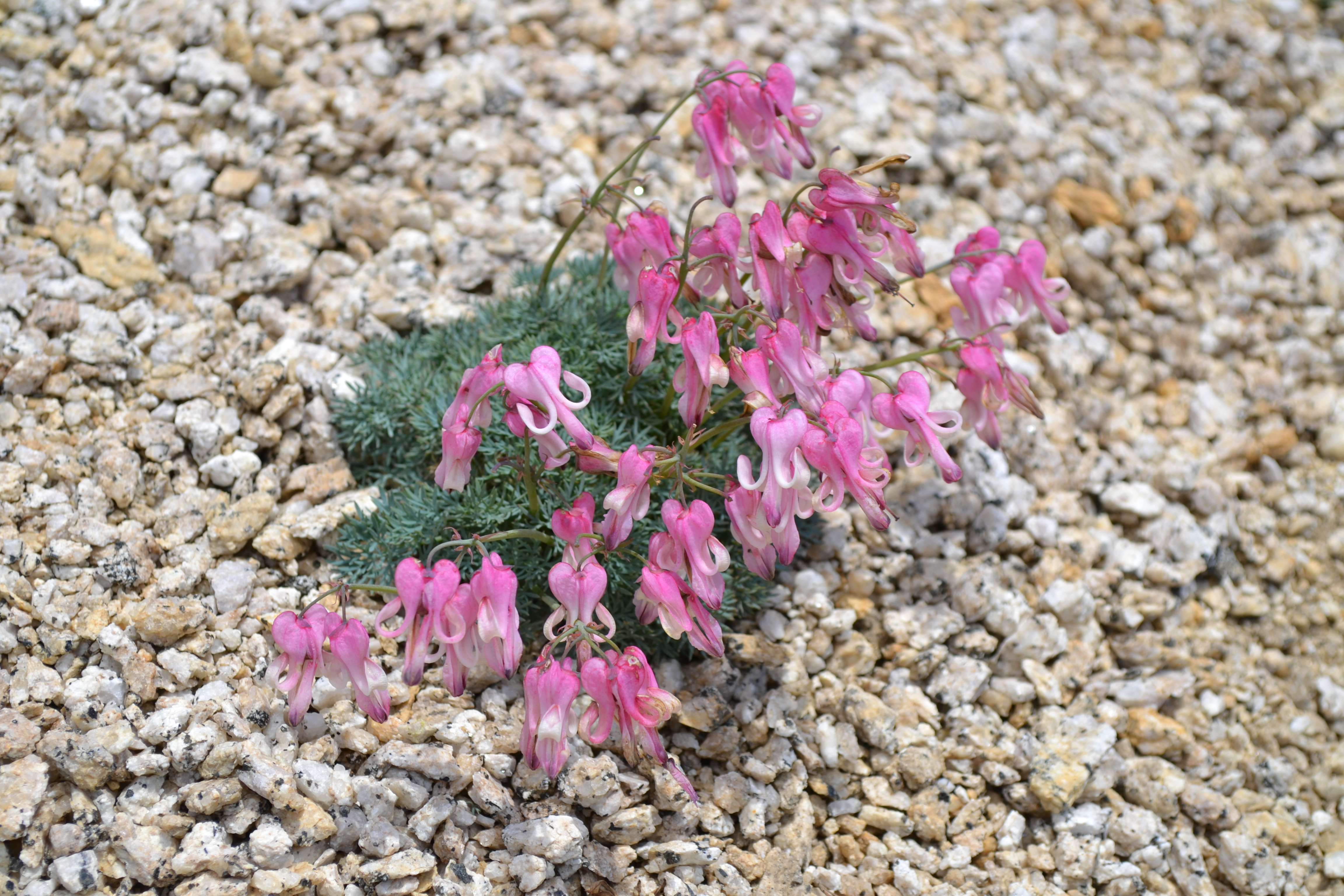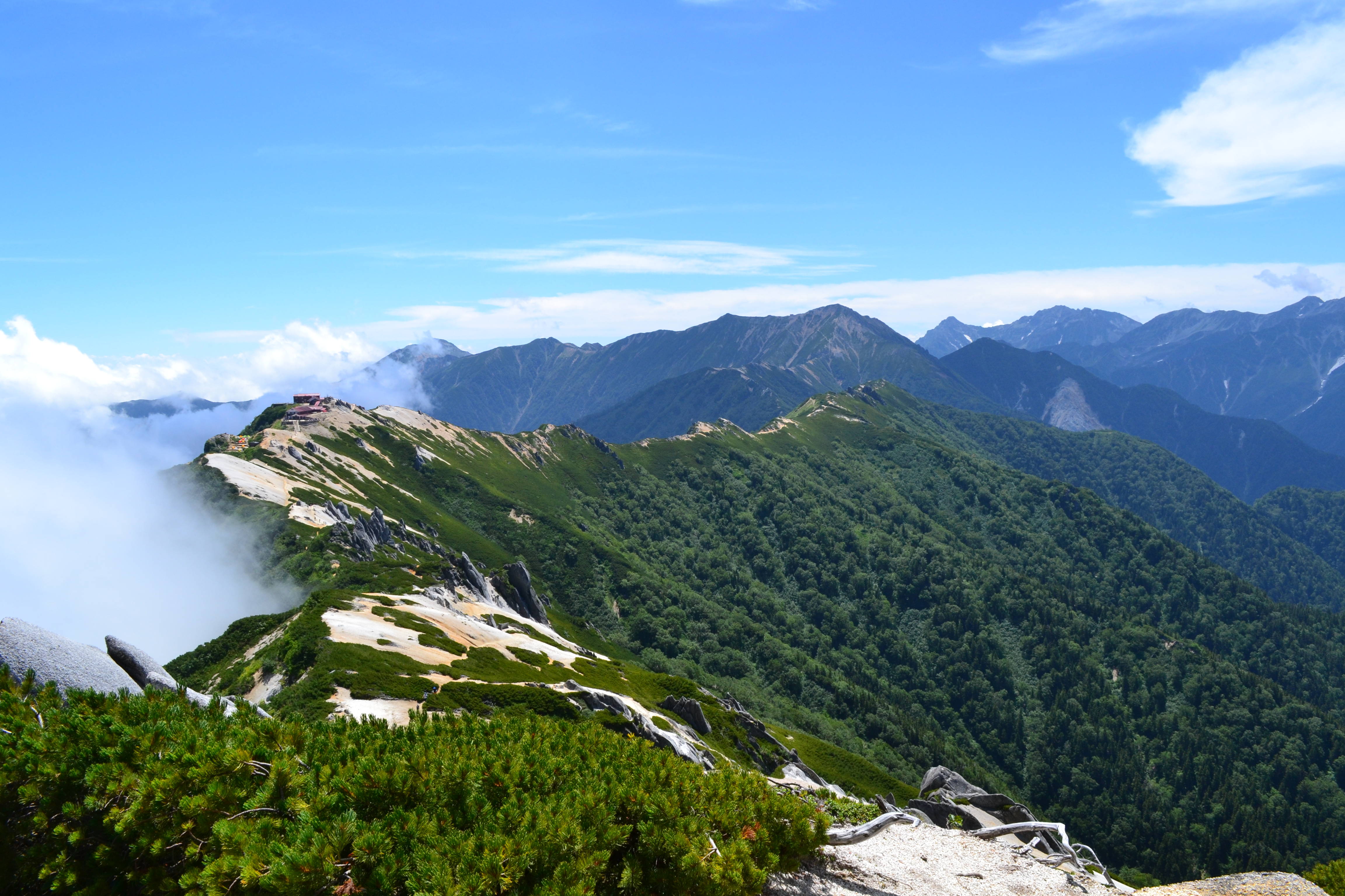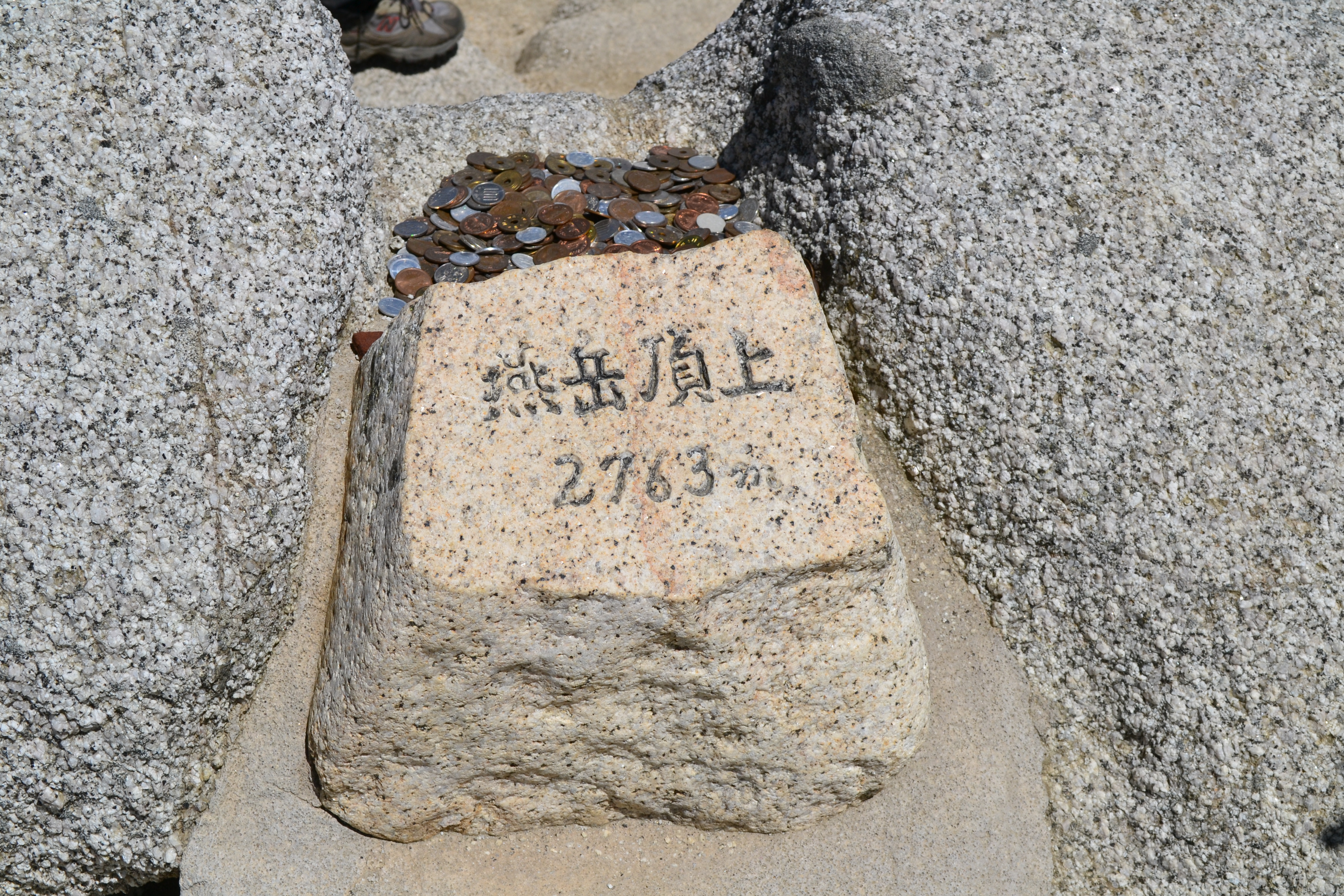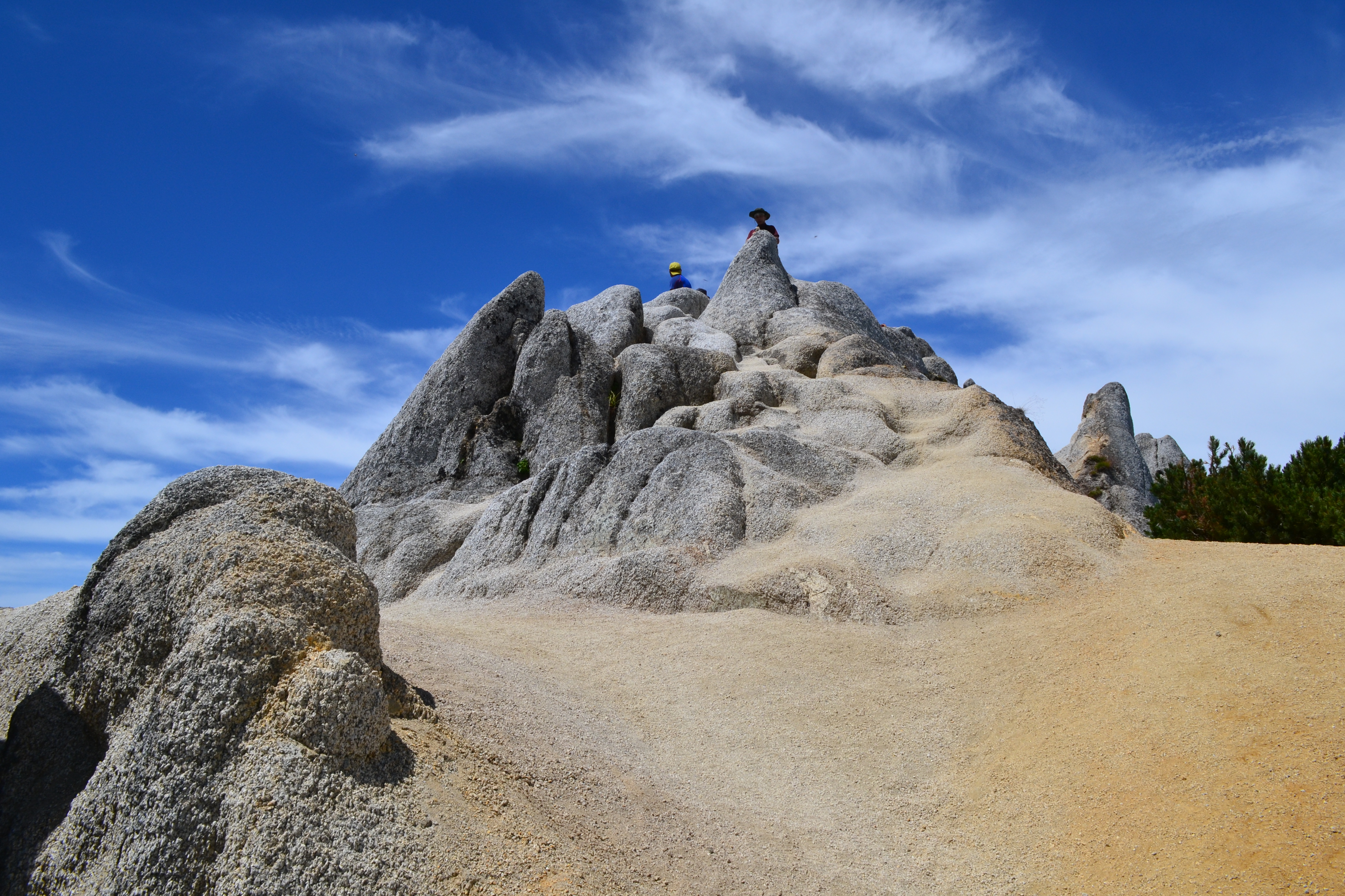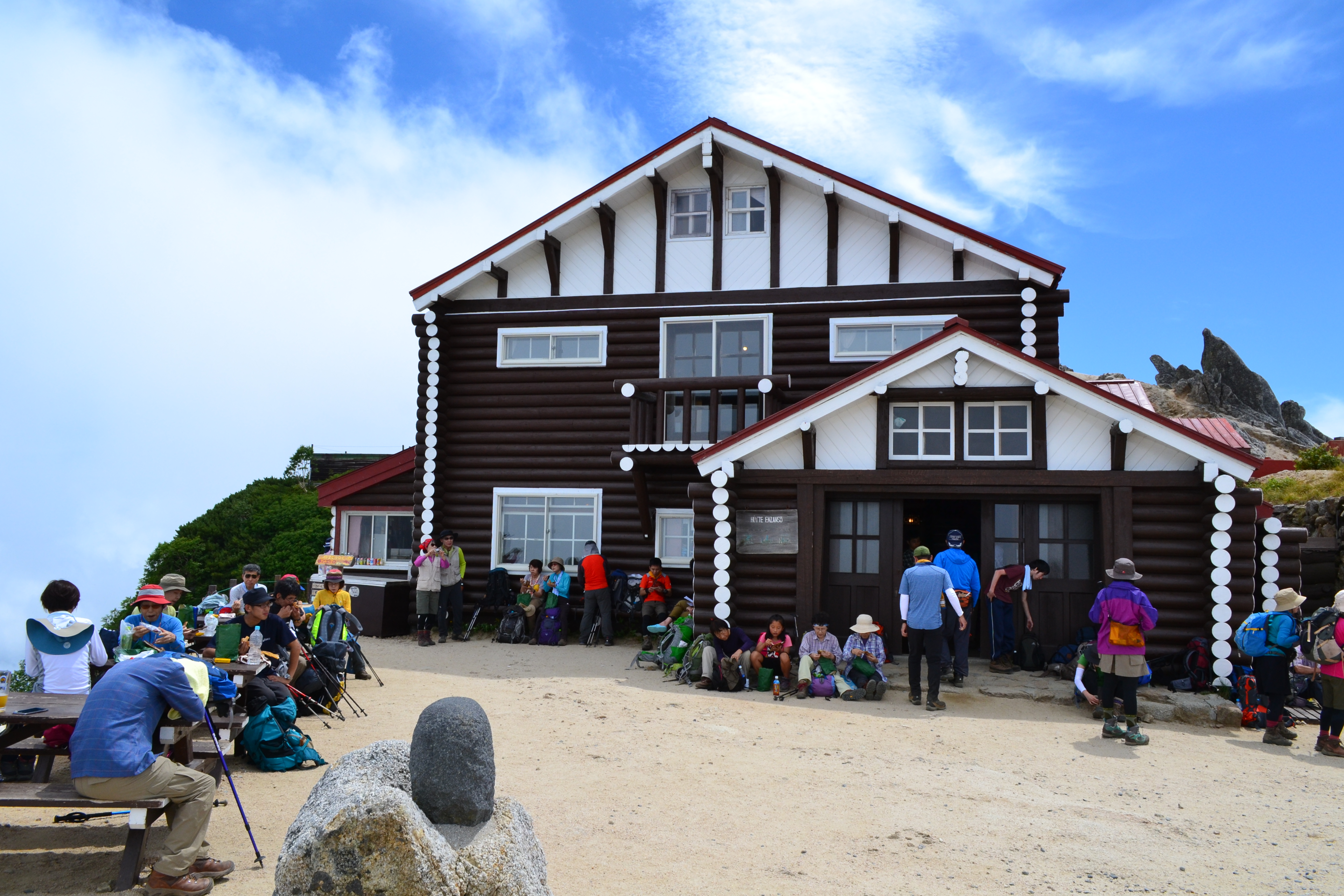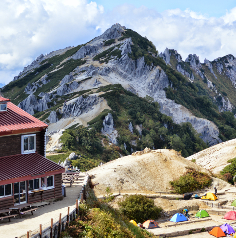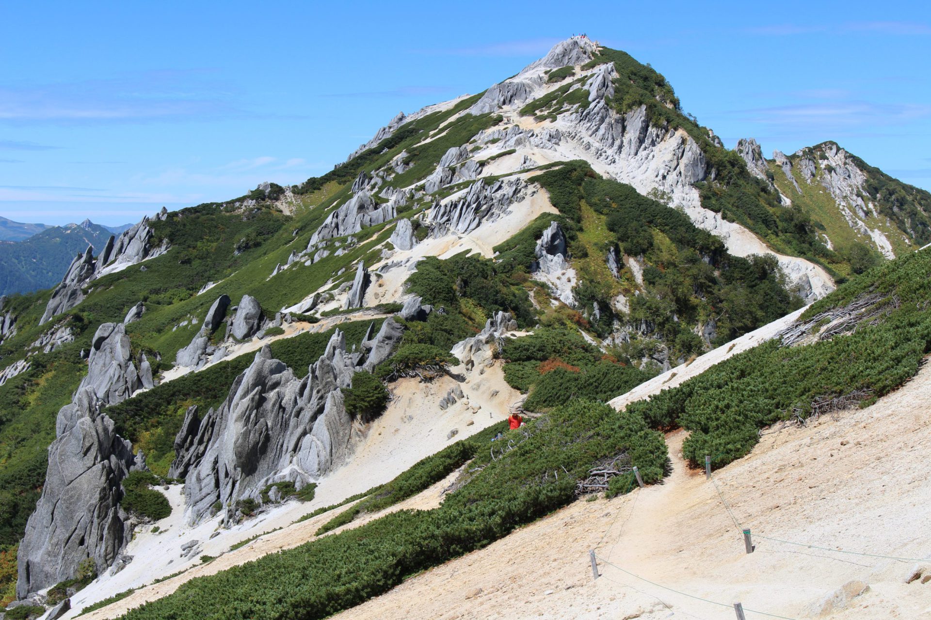
Mt. Tsubakuro, covered in granite, is said to be one of the sunniest and easiest mountains of the Northern Alps to climb. The summit ridgeline offers a view of the central portion of the Northern Alps as well as many other peaks in central Honshu. When you near the summit, the area is lined with rocks that take fascinating shapes, like the Dolphin Rock, creating a unique landscape. It is also easy to find alpine plants that grow in sand and gravel such as dicentra peregrina (komakusa) and mountain harebell (iwagikyo). This is also the start of the Omoto Ginza traverse leading to Mt. Yari-gatake. Enzanso, which stands along the ridgeline, is a mountain hut with a long history. It appears in the history of mountaineering on the Japan Alps. This is one of Japan’s 200 famous mountains.
Mt. Tsubakuro-dake:Altitude2,763m Climbing
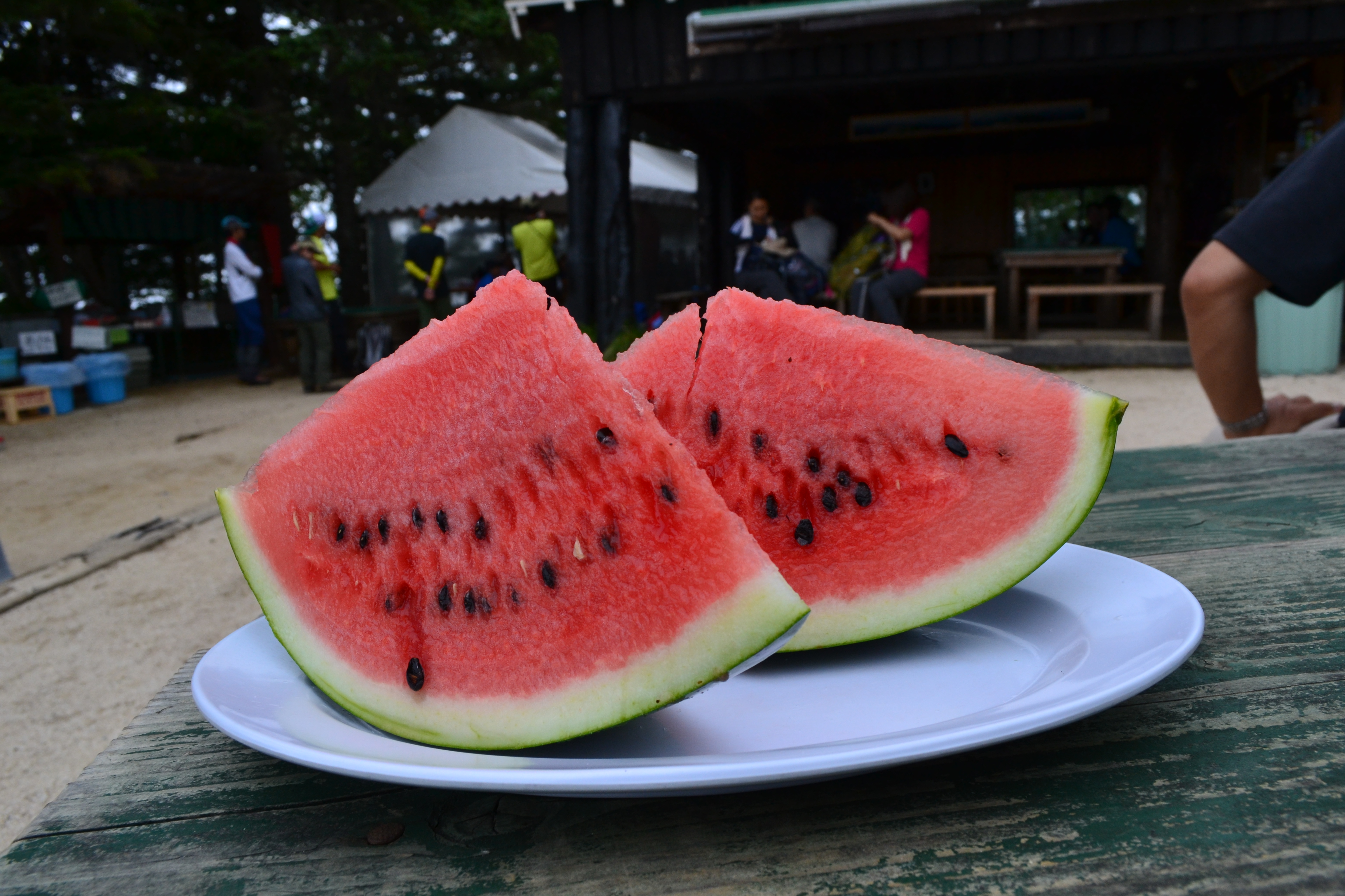
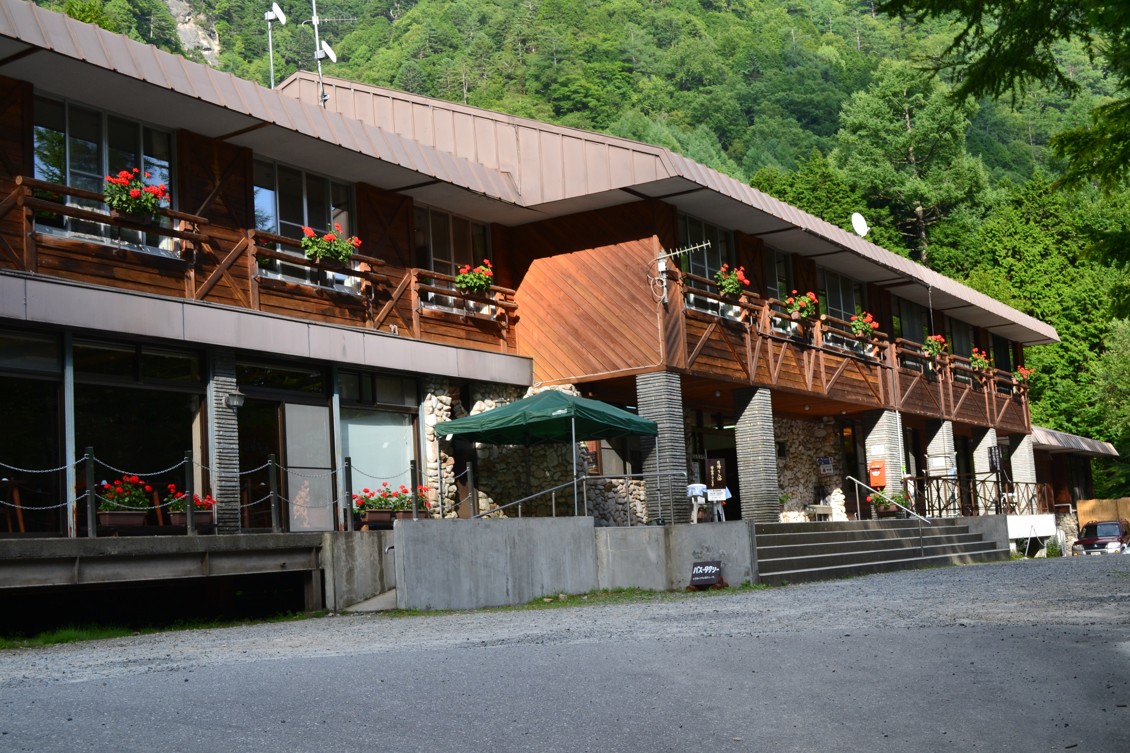
This mountain can be climbed with relative ease, even by beginners because there are three rest areas in the forested areas before reaching the Kassen-goya mountain hut. The Kassen ridge is known for being a trail with a steep slope, but by the time you are feeling tired, a rest area appears with several benches. When you enter the granite-covered area, you will arrive at Kassen-goya mountain hut. Its coffee shop is famous for watermelon. Many people also eat lunch here and refresh their energy before the last push to the summit.
Trailhead vicinity weather
Weekly weather forecast zone:Central Nagano Prefecture
| DAY | WEATHER | LOWEST | HIGHEST |
|---|---|---|---|
| 2/25 | 3℃ | 10℃ | |
| 2/26 | 4℃ | 15℃ | |
| 2/27 | 4℃ | 15℃ | |
| 2/28 | 2℃ | 11℃ | |
| 3/1 | 1℃ | 11℃ | |
| 3/2 | 0℃ | 11℃ |
This is a publication of the calculated figures for weather predictions and is not the weather forecast. There are instances where there will be big differences in the values stated for the mountains, in accord with the topography as well as sunlight, etc. so please take care.
72 hours weather information:Horiganekarasugawa Mitsumata Trailhead, Azumino City, Nagano Prefecture
| Date and time |
2/24 14:00 |
2/24 15:00 |
2/24 16:00 |
2/24 17:00 |
2/24 18:00 |
2/24 19:00 |
2/24 20:00 |
2/24 21:00 |
2/24 22:00 |
2/24 23:00 |
2/25 0:00 |
2/25 1:00 |
2/25 2:00 |
2/25 3:00 |
2/25 4:00 |
2/25 5:00 |
2/25 6:00 |
2/25 7:00 |
2/25 8:00 |
2/25 9:00 |
2/25 10:00 |
2/25 11:00 |
2/25 12:00 |
2/25 13:00 |
2/25 14:00 |
2/25 15:00 |
2/25 16:00 |
2/25 17:00 |
2/25 18:00 |
2/25 19:00 |
2/25 20:00 |
2/25 21:00 |
2/25 22:00 |
2/25 23:00 |
2/26 0:00 |
2/26 1:00 |
2/26 2:00 |
2/26 3:00 |
2/26 4:00 |
2/26 5:00 |
2/26 6:00 |
2/26 7:00 |
2/26 8:00 |
2/26 9:00 |
2/26 10:00 |
2/26 11:00 |
2/26 12:00 |
2/26 13:00 |
2/26 14:00 |
2/26 15:00 |
2/26 16:00 |
2/26 17:00 |
2/26 18:00 |
2/26 19:00 |
2/26 20:00 |
2/26 21:00 |
2/26 22:00 |
2/26 23:00 |
2/27 0:00 |
|---|---|---|---|---|---|---|---|---|---|---|---|---|---|---|---|---|---|---|---|---|---|---|---|---|---|---|---|---|---|---|---|---|---|---|---|---|---|---|---|---|---|---|---|---|---|---|---|---|---|---|---|---|---|---|---|---|---|---|---|
| Weather | |||||||||||||||||||||||||||||||||||||||||||||||||||||||||||
| Temperature | 8℃ | 7℃ | 7℃ | 6℃ | 4℃ | 3℃ | 2℃ | 3℃ | 3℃ | 3℃ | 3℃ | 3℃ | 3℃ | 2℃ | 2℃ | 2℃ | 2℃ | 2℃ | 2℃ | 2℃ | 3℃ | 3℃ | 3℃ | 3℃ | 3℃ | 3℃ | 3℃ | 3℃ | 2℃ | 2℃ | 2℃ | 1℃ | 1℃ | 1℃ | 1℃ | 1℃ | 0℃ | 0℃ | 0℃ | 0℃ | 0℃ | -1℃ | 0℃ | 2℃ | 4℃ | 4℃ | 5℃ | 6℃ | 6℃ | 6℃ | 6℃ | 6℃ | 4℃ | 1℃ | 2℃ | 1℃ | 0℃ | 0℃ | 1℃ |
| Precipitation | 0mm/h | 0mm/h | 0mm/h | 0mm/h | 0mm/h | 0mm/h | 0mm/h | 0mm/h | 0mm/h | 0mm/h | 0mm/h | 0mm/h | 1mm/h | 2mm/h | 2mm/h | ※ 16時間以降は表示されません | |||||||||||||||||||||||||||||||||||||||||||
| Wind direction |
north 2m/s |
north 2m/s |
north 2m/s |
north 2m/s |
north 2m/s |
north 2m/s |
north 2m/s |
north 2m/s |
north 2m/s |
north 2m/s |
north 1m/s |
north 1m/s |
north 2m/s |
north 2m/s |
north 2m/s |
north 2m/s |
north 2m/s |
north 1m/s |
north 1m/s |
north 1m/s |
north 1m/s |
north 1m/s |
north 1m/s |
north 1m/s |
0m/s |
north 1m/s |
0m/s |
0m/s |
0m/s |
north 1m/s |
north 1m/s |
north 1m/s |
north 1m/s |
north 1m/s |
north 1m/s |
north 1m/s |
north 1m/s |
north 1m/s |
north 1m/s |
north 1m/s |
north 2m/s |
north 2m/s |
north 2m/s |
north 2m/s |
north 1m/s |
north 1m/s |
north 1m/s |
north 1m/s |
north 1m/s |
north 1m/s |
north 1m/s |
north 1m/s |
north 1m/s |
north 1m/s |
north 1m/s |
north 1m/s |
north 1m/s |
north 1m/s |
north 1m/s |
※The weather information will be information on 5km square including the relevant point.
※天気予報マークは一次細分区域から表示しています
