O-gawara Touge Route
② O-gawara pass ~ Akatani Junction ~ Shogun-daira ~ Tenshoji-hara ~ Mt. Futago-yama ~ O-gawara pass
Technical level: B
Physical strength level: 2
Difficulty level: ⛰️
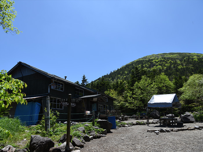
This route can be enjoyed for a day hike. However, you can also stay at O-gawara hut and enjoy a night at the Northern Yatsu-ga-take mountains.
●Hiking Data
Schedule: A day trip or one night two days
Walking hours: 6 hours 15 minutes
(Up: 2 hours 20 minutes/Down: 3 hours 55 minutes)
Walking distance: 9.2 km
Difference in elevation: 862 m
O-gawara pass


Elevation 2,090m
↓ 1 hour 30 minutes
Akatani Junction
Elevation 2,280m
↓ 10 minutes
Shogun-daira
Elevation 2,353m
↓ 40 minutes
Mt. Tateshina-yama
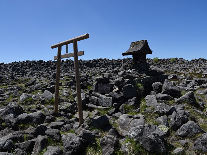
Elevation 2,530m
↓ 30 minutes
Shogun-daira
Elevation 2,353m
↓ 1 hour 25 minutes
Tenshoji-hara
Elevation 1,980m
↓ 1 hour
Futago pond

Elevation 2,040m
↓ 45 minutes
Mt. Futago-yama

Elevation 2,224m
↓ 15 minutes
O-gawara pass
Elevation 2,090m
Route Guide
A logging road to O-gawara pass is closed from the middle of November to late May. It may be closed sometimes due to fallen rocks. Gather the most updated information.
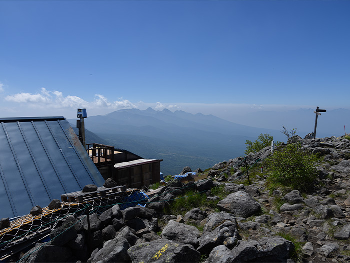
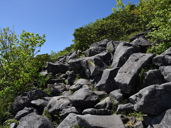
From O-gawara pass, start hiking on the trail. The trail becomes gradually steeper. At your back will be Mt. Futago-yama, which will be passed when descending. Shogun-daira is reached in a short time after the trail merges into a wide ridgeline covered by forest. From here, climb the rocky trail carefully. At the end of the forest, the summit of Mt. Tateshina-yama is reached. It is a rocky summit. Proceed to the spot where the summit sign is located by passing by Tateshina-sancho hut, standing at the edge of the summit. This is a good resting point. Enjoy the view of Mt. Yatsu-ga-take and the South Japan Alps. Descend to Shogun-daira.
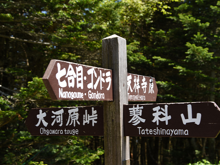
From Shogun-daira, the trail descends through a forest zone. Be careful on loose rocks especially after rain. Pay attention to your feet. The trail merges at the end of the downhill. Turn left at the junction. Tenshoji-hara is reached shortly. Turn right at another junction towards Mt. Futago-yama. Pass the quiet Kikkou pond. The trail covered by beautiful moss leads to Mesu pond, one of the Futago ponds.
There are many campers around the Futago ponds. Take a break here and enjoy the lake view. Proceed to Mt. Futago-yama. At the end of the gradual slope, the summit of Mt. Futago-yama is reached. It is a wide summit with clear view. Descend a gradual ridgeline covered by bamboo leaves and return to O-gawara pass.