Ichino-sawa Route
①Ichino-sawa trailhead ~ O-taki bench ~ Munatsuki-Haccho ~ Jonen-nokkoshi ~ Mt. Jonen-dake ~ Jonen-nokkoshi ~ Munatsuki-Haccho ~ O-taki bench ~ Ichino-sawa trail head
Technical level: B
Physical strength level: 4
Difficulty level: ⛰️⛰️
An entry level mountain of the Northern Japan Alps with a great view of the Alps. Enjoy the location and a hiking trip for one night and two days.※Currently, the forest road leading to the Ichinosawa trailhead has collapsed and is inaccessible to vehicles. Get off the cab before the road collapses and walk 1.5 km to the trailhead.
●Hiking Data
Schedule: One night two days
Walking hours: 8 hours 35 minutes
(Up: 5 hours/ Down: 3 hours 35 minutes)
Walking distance: 12.0 km
Difference in elevation: 1,570 m
Ichino-sawa trailhead

Elevation 1,320m
↓ 1 hour
O-taki bench
Elevation 1,617m
↓ 1 hour 40 minutes
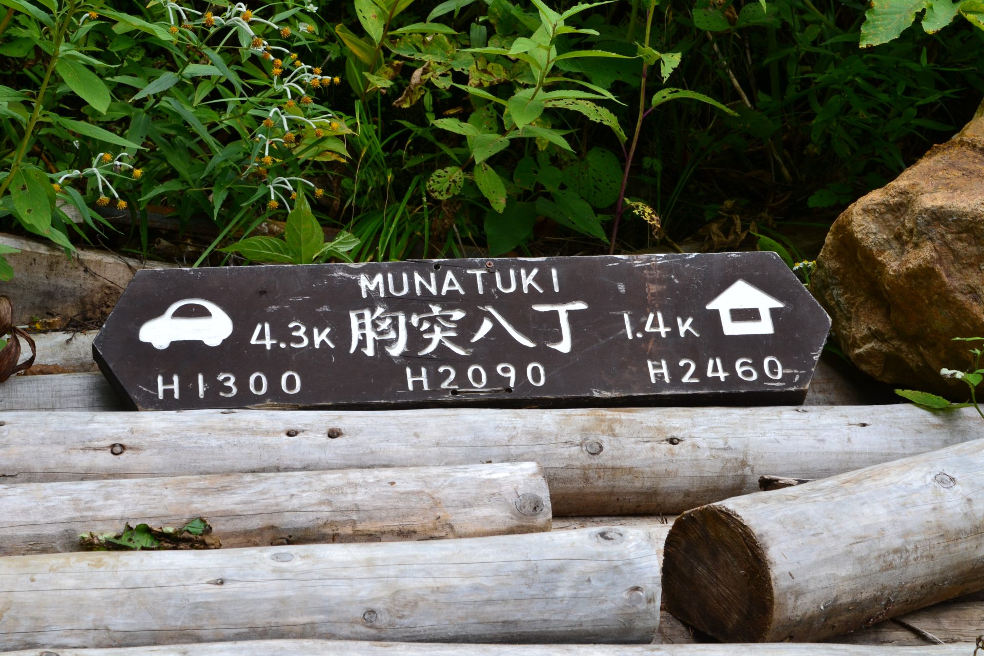
Munatsuki-Haccho
Elevation 2,090m
↓ 1 hour 20 minutes
Jonen-nokkoshi (Jonen-goya Mountain hut)
Elevation 2,450m
↓ 1 hour
Mt. Jonen-dake
Elevation 2,857m
↓ 45 minutes
Jonen-nokkoshi
Elevation 2,450m
↓ 1 hour
Munatsuki-Haccho
Elevation 2,090m
↓ 1 hour 10 minutes
O-taki bench
Elevation 1,617m
↓ 40 minutes
Ichino-sawa/Jonen-koya trailhead
Elevation 1,320m

Route Guide
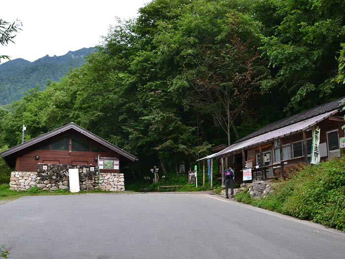
If you drive yourself, there is no parking lot at the trailhead. You need to use the parking lot, which is 15 minutes away from the trailhead. If you take a taxi, you can get off at the trailhead.
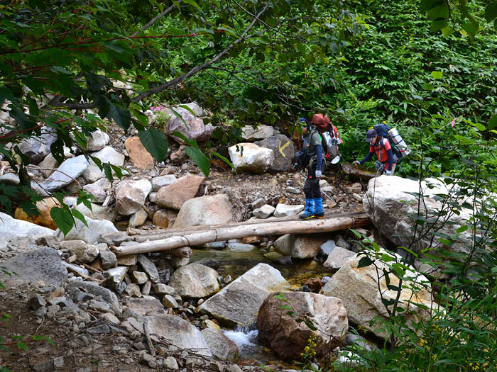
Toilets and a rest area are located at the trailhead. From the trailhead, start hiking through the forest area. The trail shortly begins to run along a small stream. Do not miss the pink sign taped on trees. The trail is covered by rocks with moss and mud. O-taki bench is reached after passing a small wooden bridge. A bench actually does not exist in the spot. O-taki is located just ahead of the spot, where you can find a splendid signpost. When the trail begins to be covered by bamboo leaves, the wide shore of the river is reached. This is a resting point. Cross a log bridge. After Kasahara-sawa, cross a few streams. Along the trail, the Alpine plants can be admired.
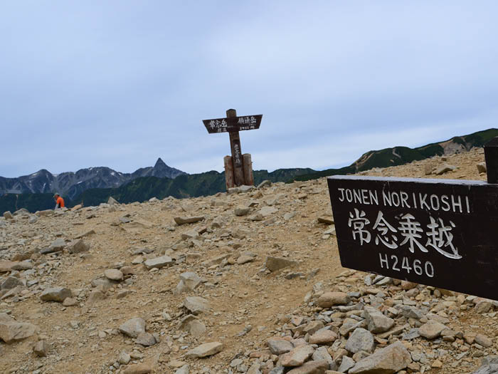
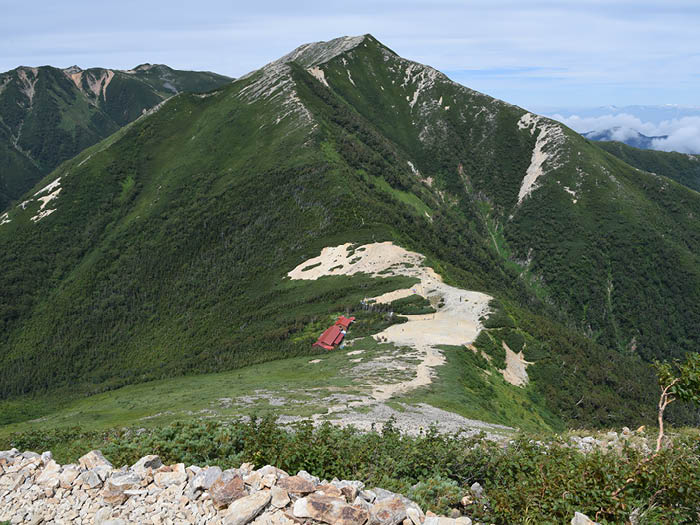
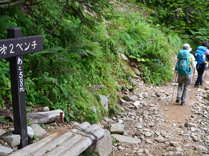
Munatsuki-Haccho will be reached by the time you become out of breath. Take a short break here then proceed to the wooden stairs, gaining elevation. Looking back, the trail you just ascended will be seen below your feet. Hikers behind you might be seen as small figures. When you spot a stream in front of you, the final place to replenish your water supply is reached. Other places to replenish water are not easy to find so fill your water bottles to the brim. From this place, the trail becomes steep. Pass by the first bench, the second bench, and the third bench. After passing the third bench, the trail to Mt. Jonen-dake from Jonen-nokkoshi can be spotted on the upper left corner. After an uphill, Jonen-koya Mountain hut, locating at Jonen-nokkoshi, is reached. Mt. Yari-gatake can be seen above the hut.
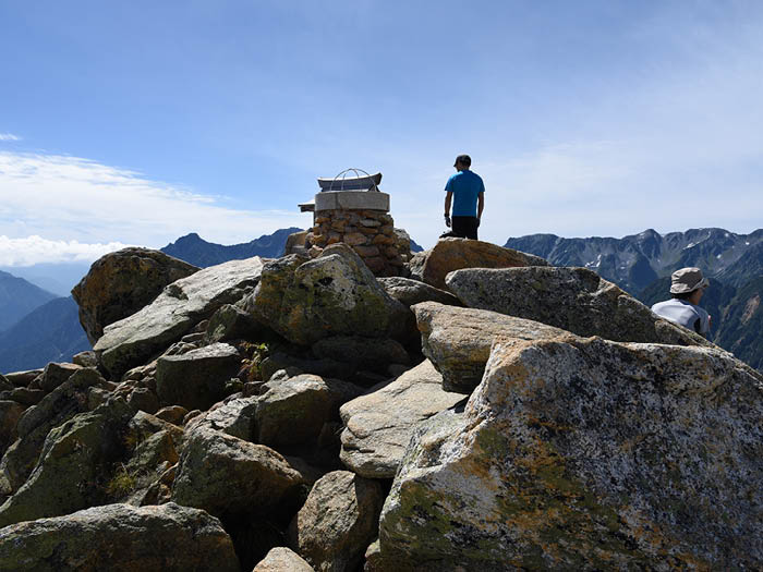
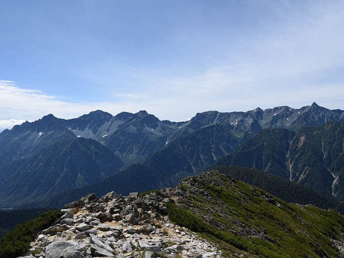
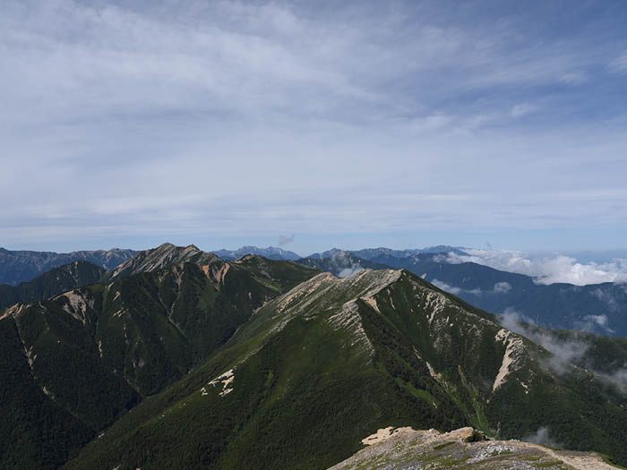
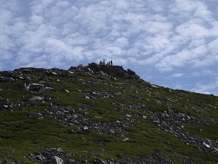
From Jonen-nokkoshi, hike on the ridgeline. There will be no view of the summit of Mt. Jonen-dake unfortunately. The rocky place that you can see above your head is not the summit. Hike at a steady pace on this very steep slope. Follow marked stones carefully. It takes about 1 hour to the summit. You might spend more than 1 hour stopping often to admire the view. The summit appears in your sight upon reaching a scree slope. The summit will be reached at the end of the uphill. It is a small summit with many rocks piled up. Try not to walk around and take a break at one spot. The view is phenomenal. With Mt. Yari-gatake in the center, famous mountains such as Mt. Hodaka-dake, Mt. Washiba-dake, Mt. Suisyo-dake, Mt. O-tensyo-dake, and Mt. Tsurugi-dake can be seen. Enjoy the view fully then descend the same trail used for ascending.