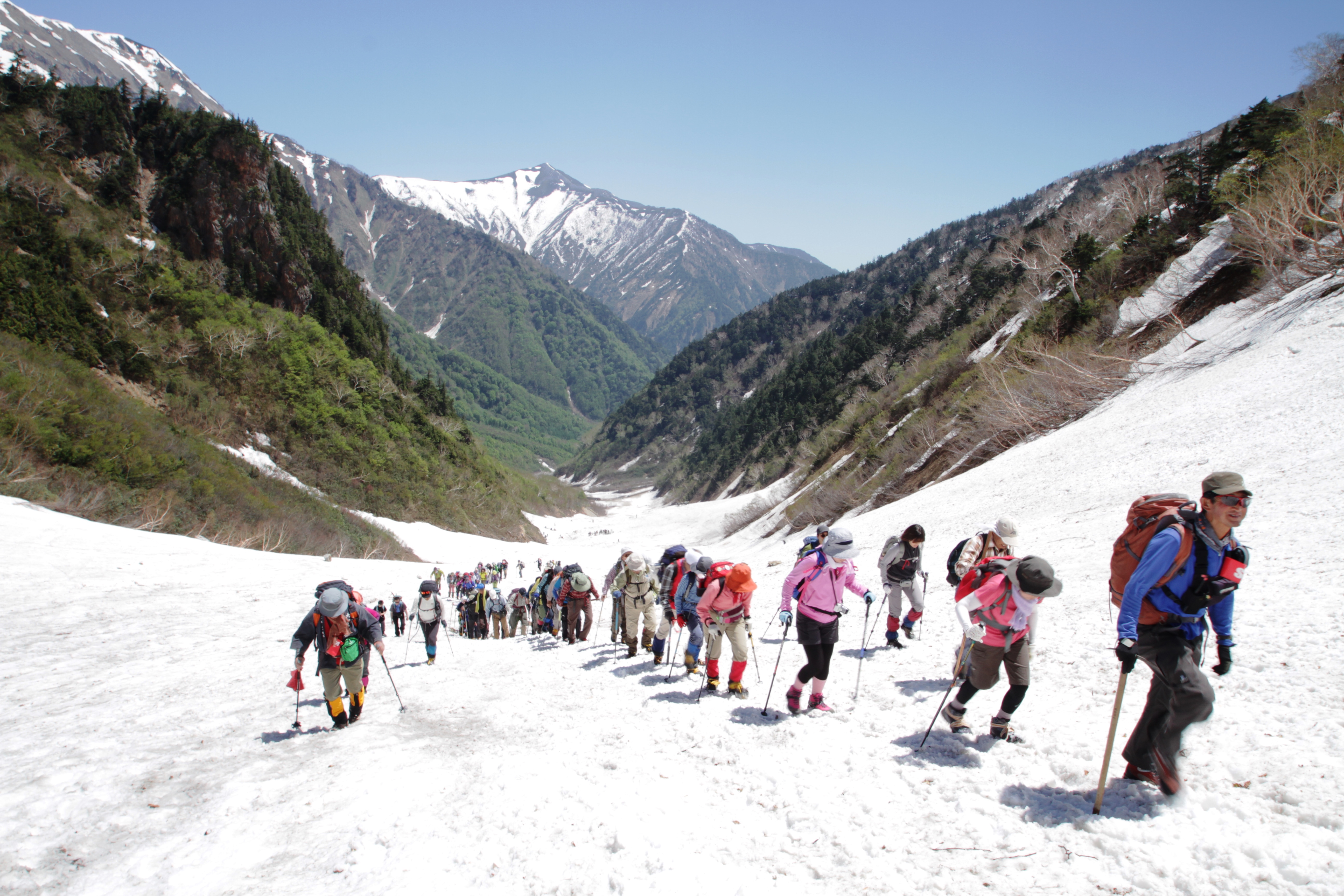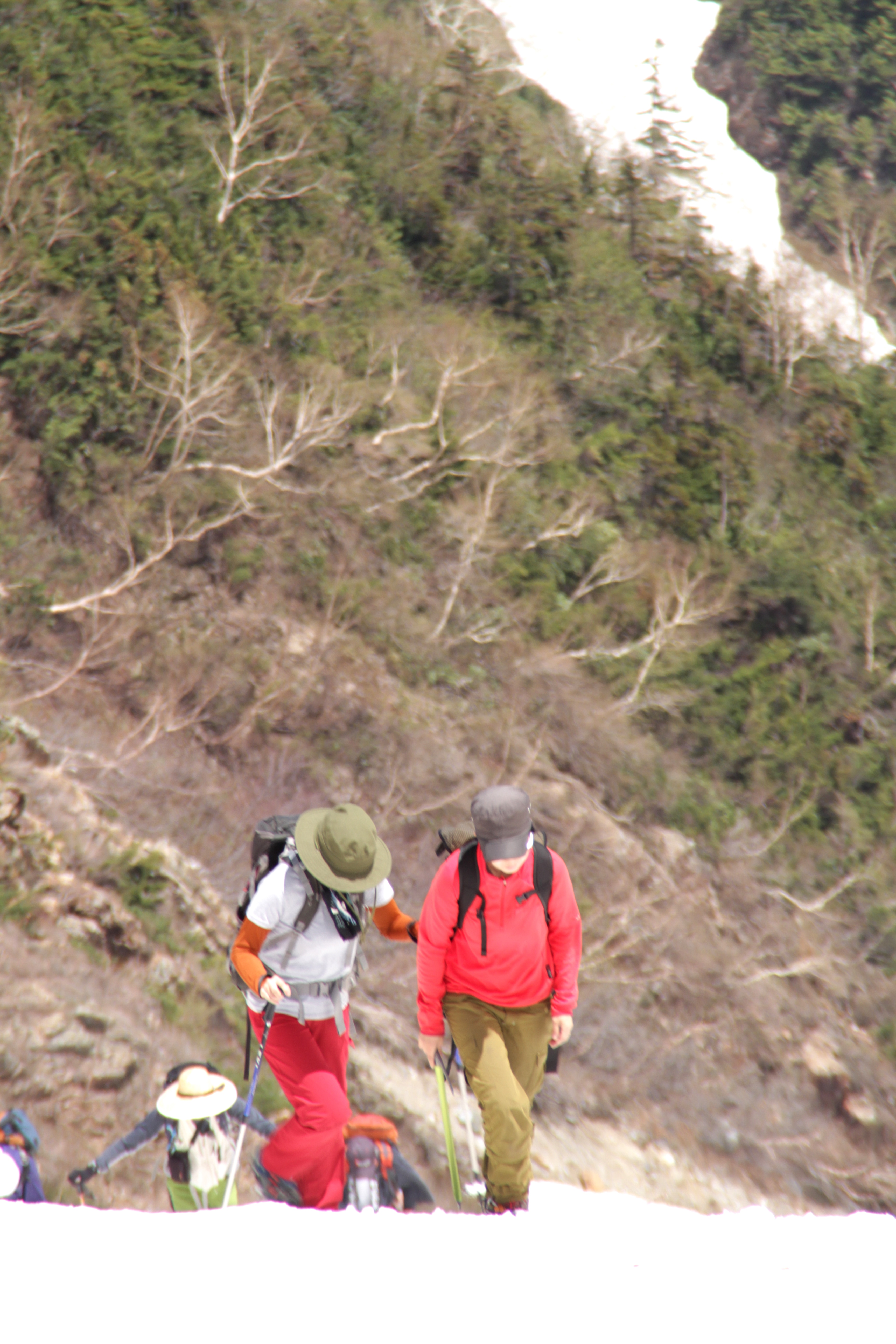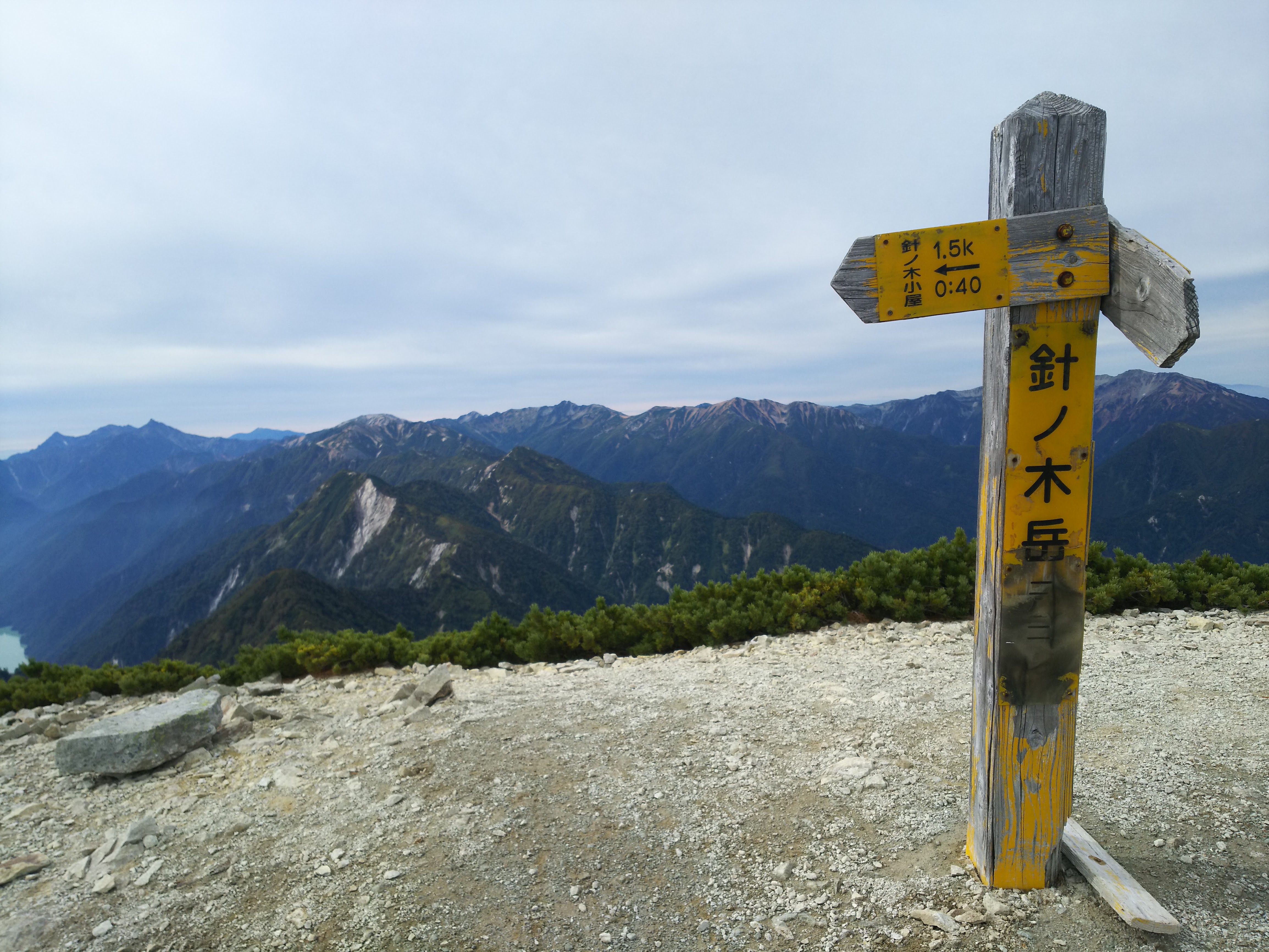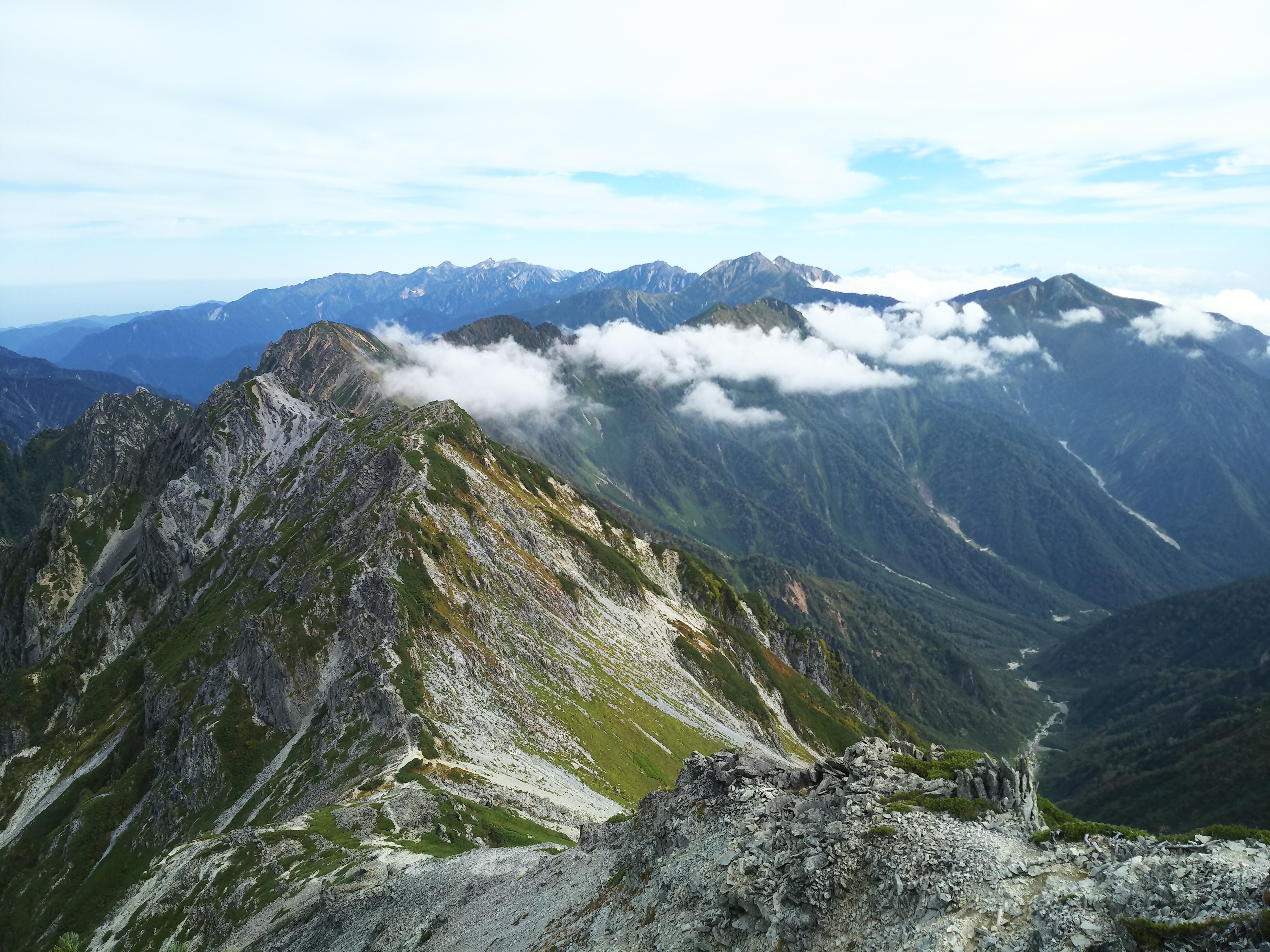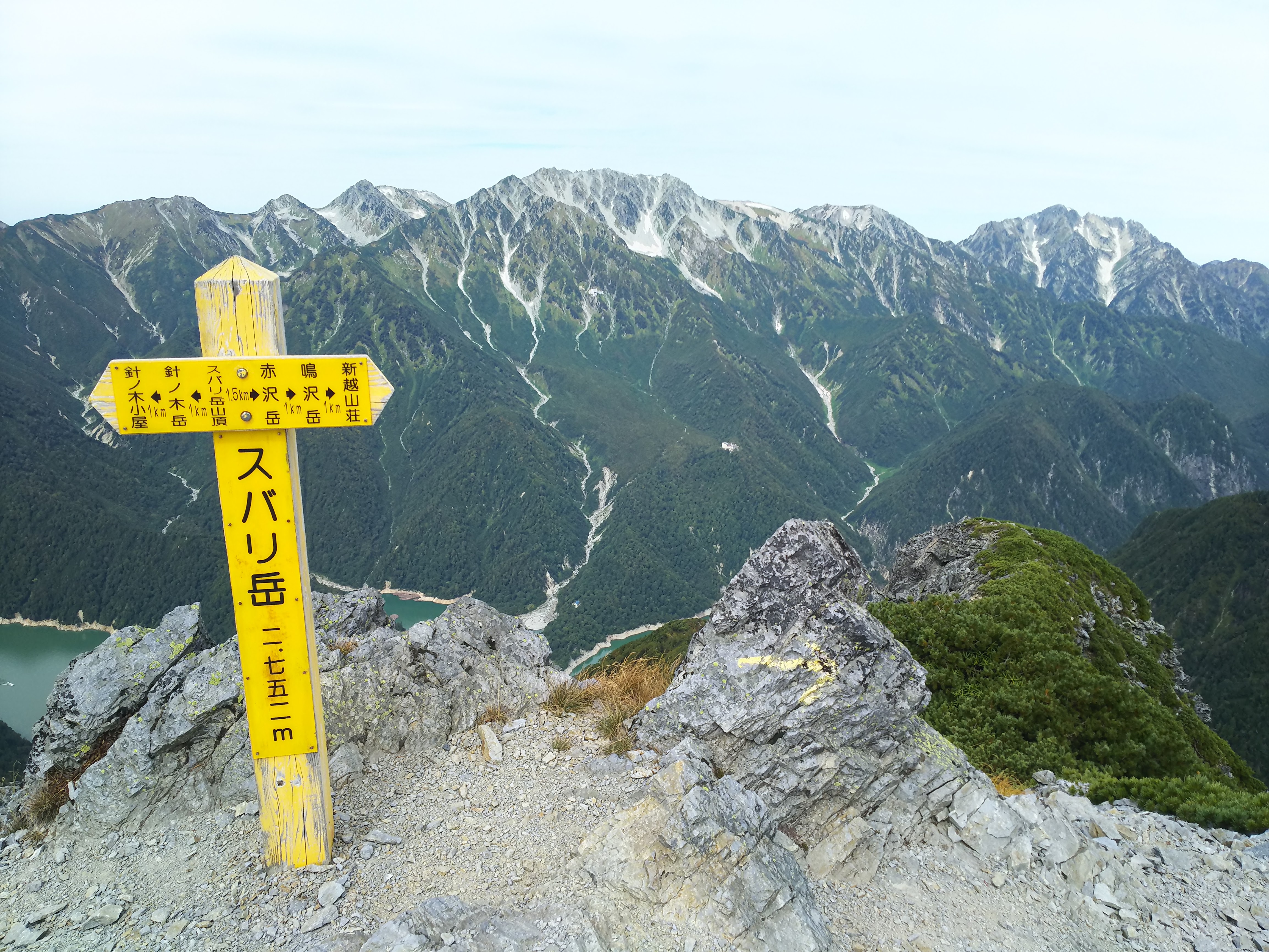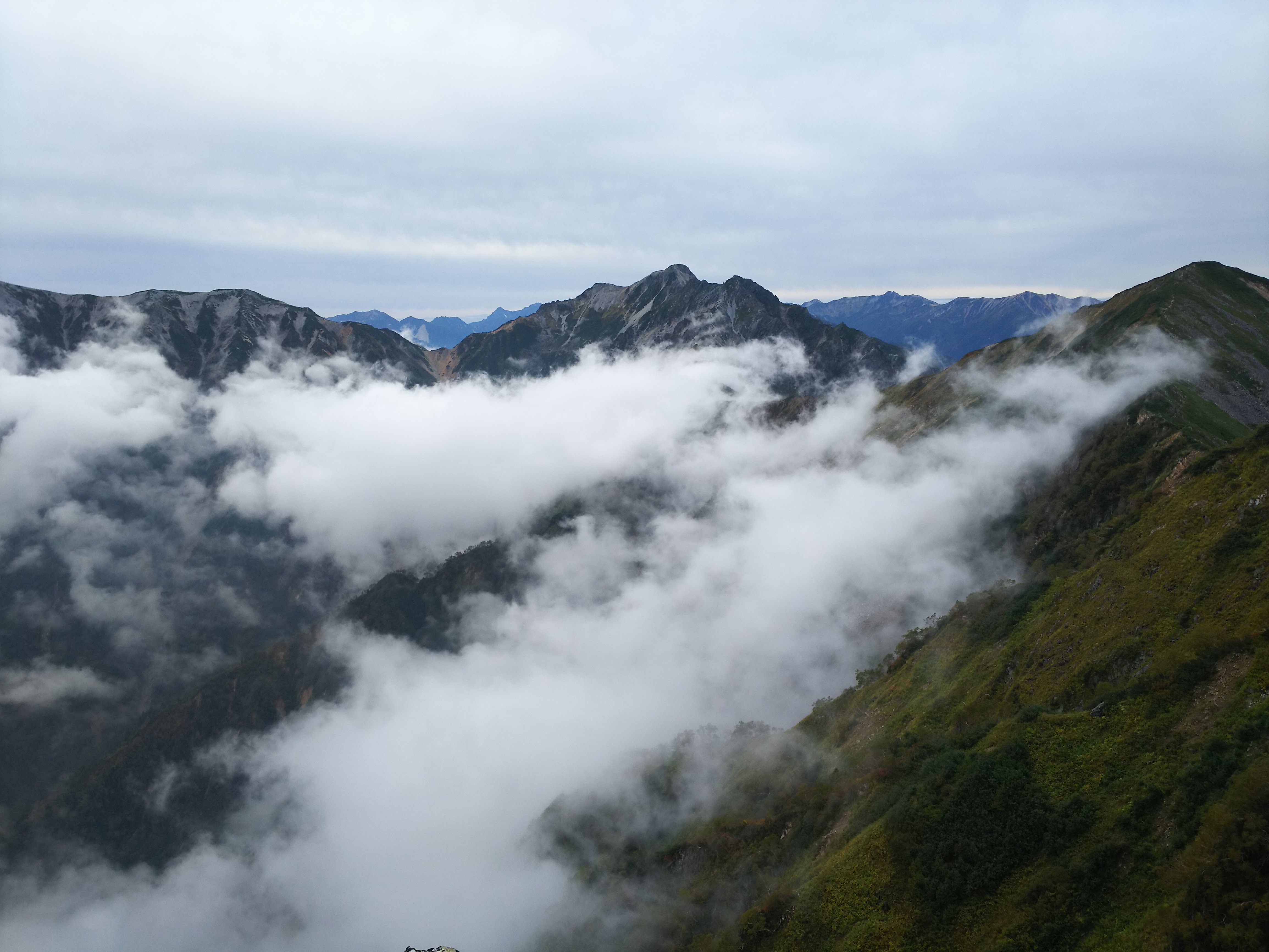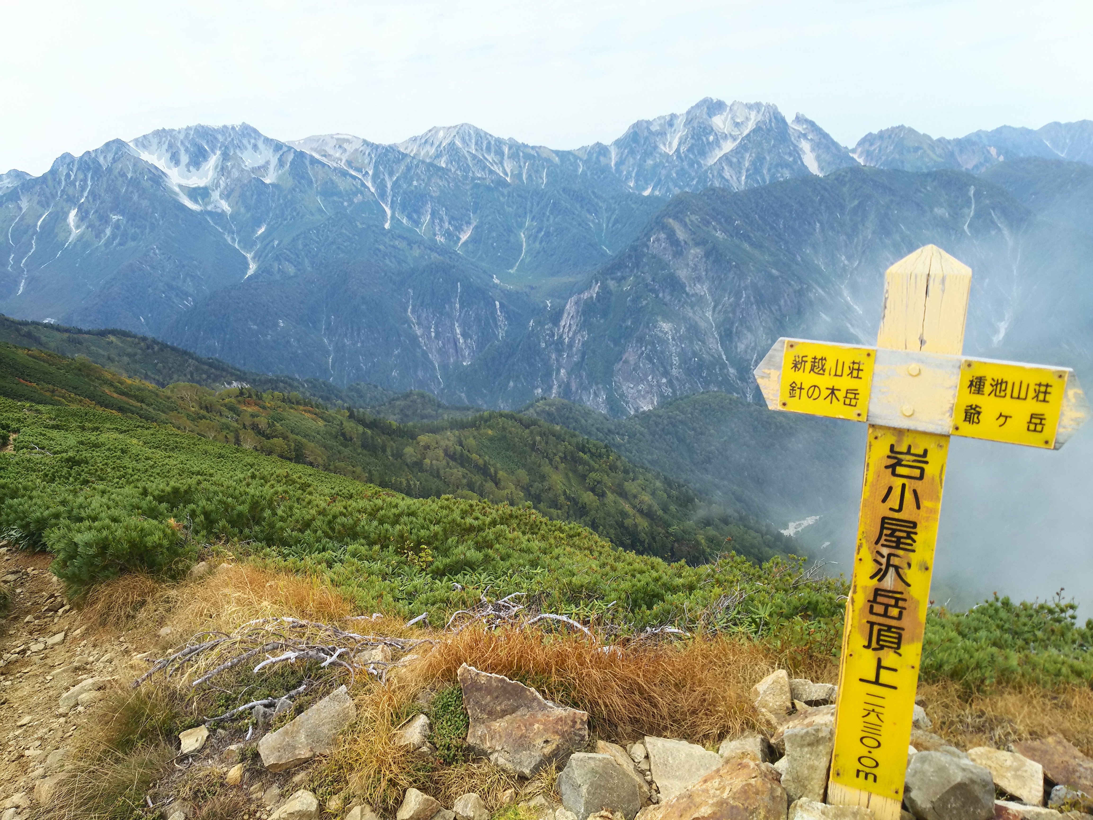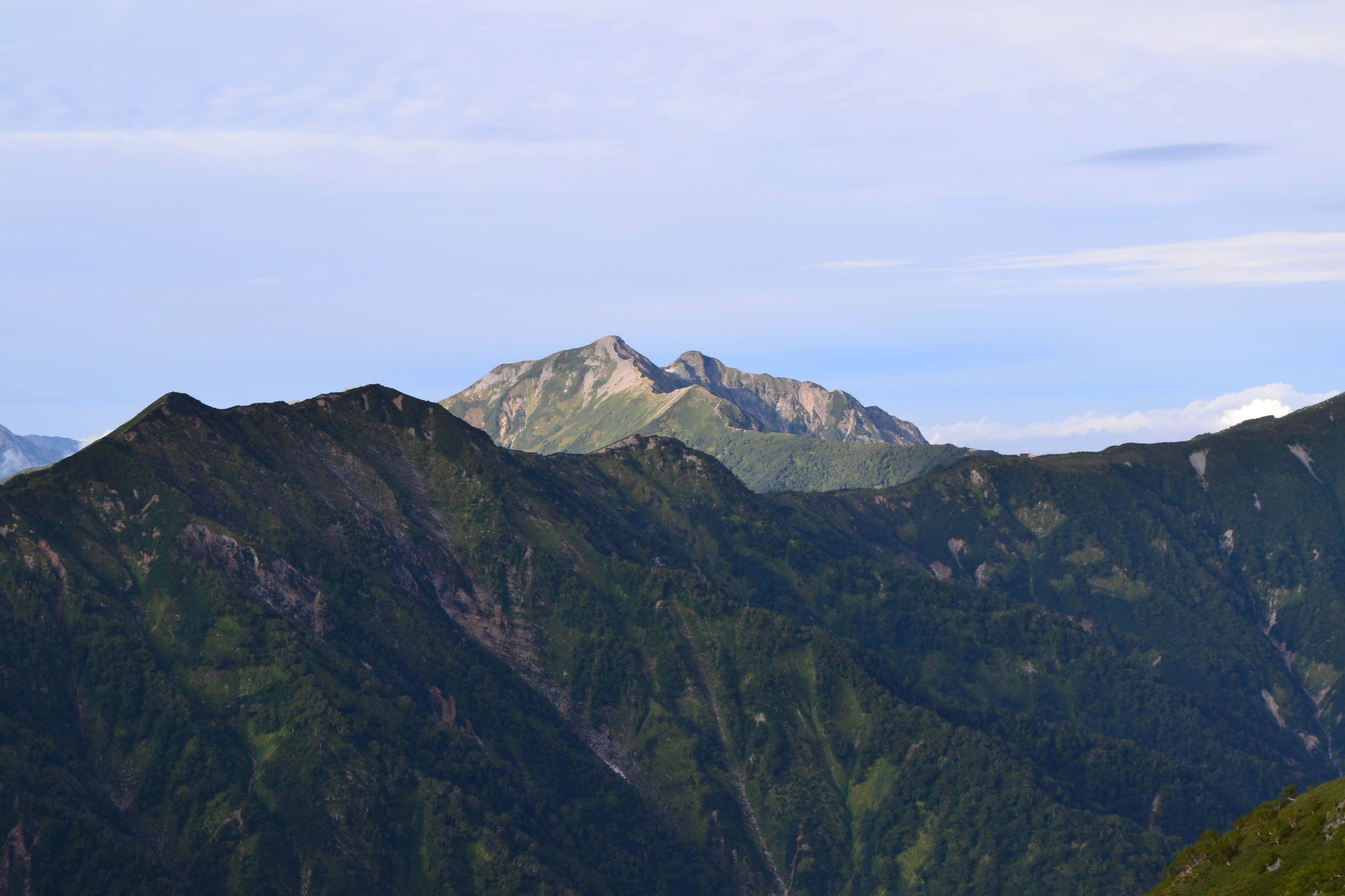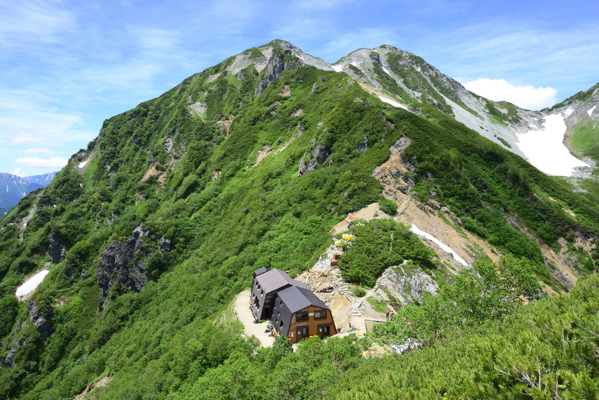
Harinoki Pass is a mountain often associated with Sassa Narimasa’s winter crossing and Shintaro Momose, and it has been climbed by many mountaineers in the history of modern mountain climbing. At the height of the Warring States period there was a slight increase in the small number of people who walked here, and currently it seems it is almost never ascended. That is also what makes it the perfect area for enjoying a quiet mountain hike. When the summer mountain season opens, the Shintaro Festival is held in commemoration of Shintaro Momose. The summit of Mt. Harinoki-dake stands at almost the very center of the Northern Alps and offers vast scenic views. Climbing Harinoki Snow Valley up to Harinoki Pass is as popular with mountaineers as the Great Hakuba Snow Valley.
Harinoki Pass:Elevation 2,820m
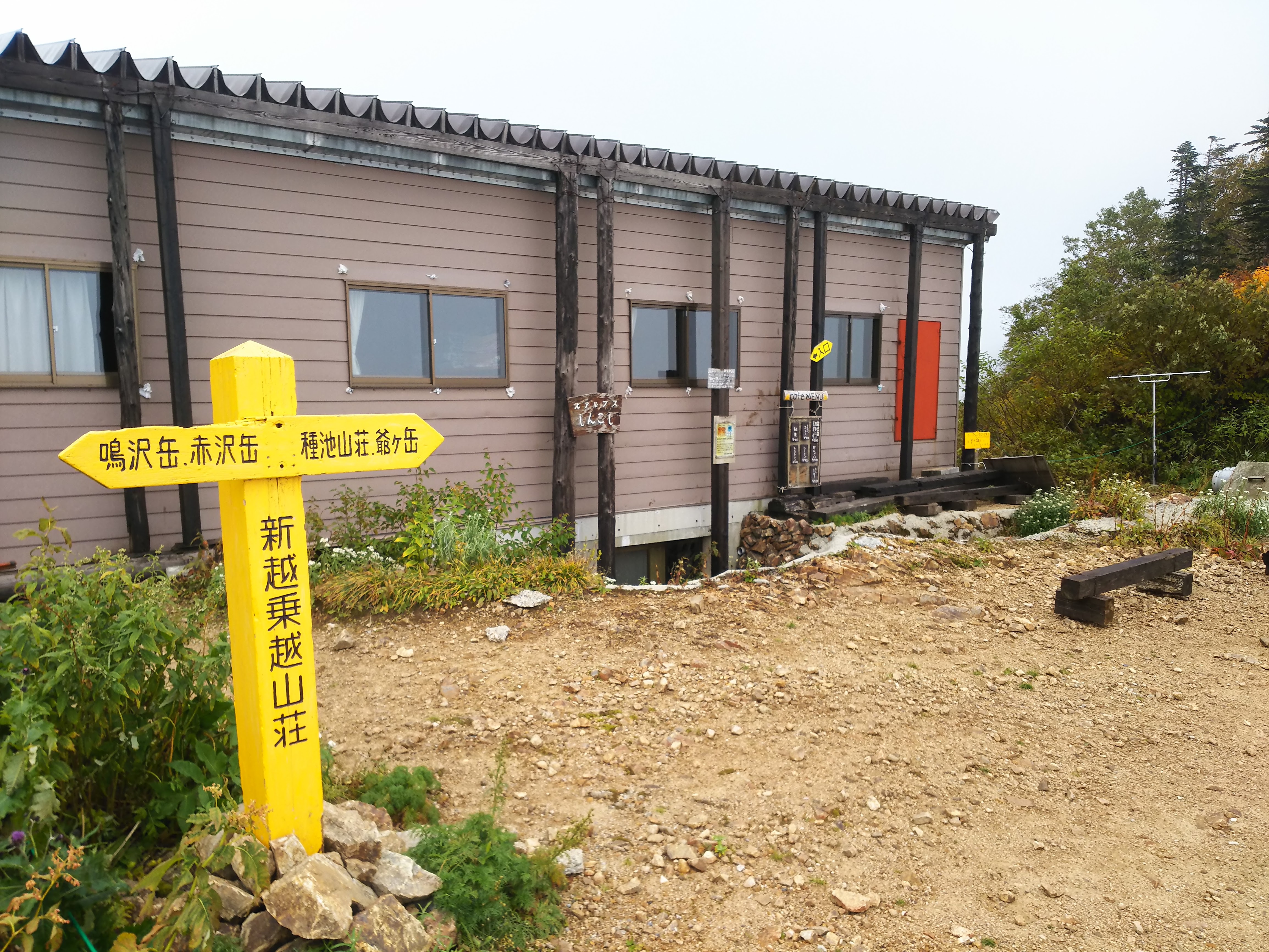
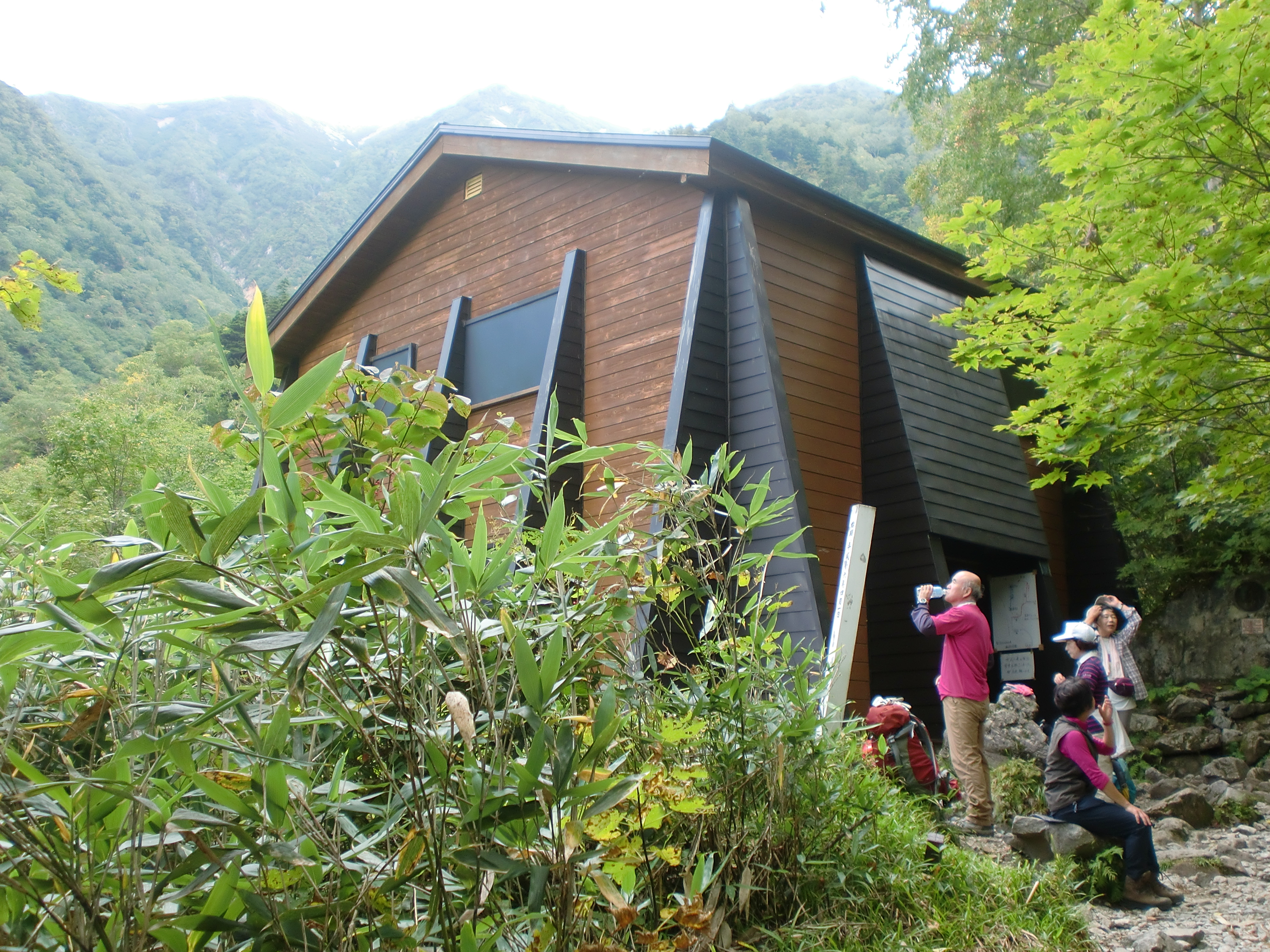
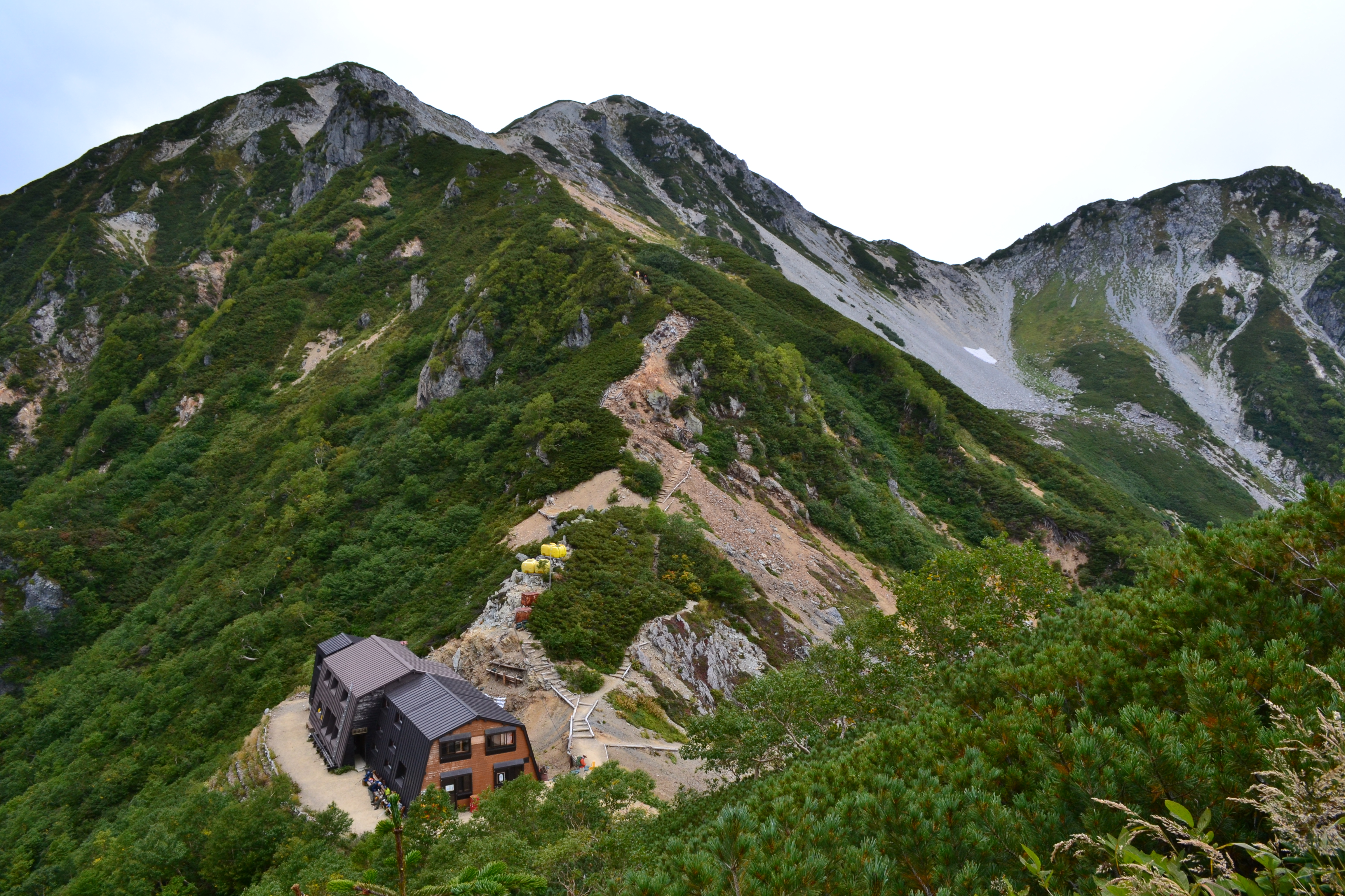
Most people approach the mountain from the Harinoki Snow Valley. However, most years, the snow valley can only be accessed through mid-September. After that you have to use the steep Akimichi (alternative) route. Even beginners can walk the snow valley if they are wearing crampons, but the Akimichi route has sharp rises and falls making it very difficult unless you are at least an intermediate climber. Harinoki Pass offers a view of Mt. Yari-gatake and the Hotaka Mountains. The Harinoki-goya, which is the mountain hut that stands here, is visited by large numbers of people in summer. Follow the ridge path from Harinoki Pass, and you will quickly reach Mt. Harinoki-dake. The summit boasts views of Lake Kurobe below and the Tateyama Mountains spreading before you.
Trailhead vicinity weather
Weekly weather forecast zone:Northern Nagano Prefecture
| DAY | WEATHER | LOWEST | HIGHEST |
|---|---|---|---|
| 2/7 | -4℃ | 3℃ | |
| 2/8 | -6℃ | -1℃ | |
| 2/9 | -5℃ | 2℃ | |
| 2/10 | -7℃ | 7℃ | |
| 2/11 | -3℃ | 10℃ | |
| 2/12 | -2℃ | 5℃ |
This is a publication of the calculated figures for weather predictions and is not the weather forecast. There are instances where there will be big differences in the values stated for the mountains, in accord with the topography as well as sunlight, etc. so please take care.
72 hours weather information:Ougisawa, 2117, Taira, Omachi Shi, Nagano Prefecture
| Date and time |
2/7 1:00 |
2/7 2:00 |
2/7 3:00 |
2/7 4:00 |
2/7 5:00 |
2/7 6:00 |
2/7 7:00 |
2/7 8:00 |
2/7 9:00 |
2/7 10:00 |
2/7 11:00 |
2/7 12:00 |
2/7 13:00 |
2/7 14:00 |
2/7 15:00 |
2/7 16:00 |
2/7 17:00 |
2/7 18:00 |
2/7 19:00 |
2/7 20:00 |
2/7 21:00 |
2/7 22:00 |
2/7 23:00 |
2/8 0:00 |
2/8 1:00 |
2/8 2:00 |
2/8 3:00 |
2/8 4:00 |
2/8 5:00 |
2/8 6:00 |
2/8 7:00 |
2/8 8:00 |
2/8 9:00 |
2/8 10:00 |
2/8 11:00 |
2/8 12:00 |
2/8 13:00 |
2/8 14:00 |
2/8 15:00 |
2/8 16:00 |
2/8 17:00 |
2/8 18:00 |
2/8 19:00 |
2/8 20:00 |
2/8 21:00 |
2/8 22:00 |
2/8 23:00 |
2/9 0:00 |
|---|---|---|---|---|---|---|---|---|---|---|---|---|---|---|---|---|---|---|---|---|---|---|---|---|---|---|---|---|---|---|---|---|---|---|---|---|---|---|---|---|---|---|---|---|---|---|---|---|
| Weather | ||||||||||||||||||||||||||||||||||||||||||||||||
| Temperature | -9℃ | -9℃ | -9℃ | -9℃ | -10℃ | -10℃ | -10℃ | -10℃ | -10℃ | -10℃ | -9℃ | -9℃ | -8℃ | -8℃ | -8℃ | -9℃ | -10℃ | -11℃ | -11℃ | -12℃ | -12℃ | -12℃ | -13℃ | -13℃ | -13℃ | -13℃ | -13℃ | -13℃ | -14℃ | -14℃ | -14℃ | -14℃ | -13℃ | -12℃ | -12℃ | -11℃ | -11℃ | -12℃ | -12℃ | -13℃ | -13℃ | -14℃ | -14℃ | -14℃ | -14℃ | -14℃ | -15℃ | -15℃ |
| Precipitation | 0mm/h | 0mm/h | 0mm/h | 0mm/h | 0mm/h | 0mm/h | 0mm/h | 0mm/h | 0mm/h | 0mm/h | 0mm/h | 0mm/h | 0mm/h | 0mm/h | 0mm/h | ※ 16時間以降は表示されません | ||||||||||||||||||||||||||||||||
| Wind direction |
0m/s |
northwest 1m/s |
northwest 1m/s |
northwest 1m/s |
northwest 1m/s |
northwest 1m/s |
northwest 1m/s |
northwest 1m/s |
northwest 1m/s |
northwest 1m/s |
0m/s |
0m/s |
0m/s |
0m/s |
0m/s |
0m/s |
northwest 1m/s |
northwest 1m/s |
northwest 1m/s |
0m/s |
0m/s |
0m/s |
0m/s |
northwest 1m/s |
northwest 1m/s |
0m/s |
northwest 1m/s |
northwest 1m/s |
northwest 1m/s |
northwest 1m/s |
northwest 1m/s |
northwest 1m/s |
northwest 1m/s |
northwest 1m/s |
northwest 1m/s |
northwest 2m/s |
northwest 2m/s |
northwest 2m/s |
northwest 2m/s |
northwest 2m/s |
northwest 2m/s |
northwest 2m/s |
northwest 2m/s |
northwest 2m/s |
northwest 1m/s |
northwest 1m/s |
northwest 2m/s |
northwest 2m/s |
※The weather information will be information on 5km square including the relevant point.
※天気予報マークは一次細分区域から表示しています
