Shionomichi Trail Itinerary 2:Nechi Station~Hiraiwa Station
Nechi Station~Hiraiwa Station Niodo~Himekawa
This course starts with Oami Pass, which is probably the finest representation of the ancient Chikuni Highway, another name for the Shionomichi Trail. The most difficult part of the trail is crossing the steep mountain pass on this road that remains strongly reminiscent of its heyday. This trail is steeped in prayer and purity.
●Hiking data
Walking distance:19.3km
Time required:365 minutes
Altitude:90m~860m
Nechi Station
Elevation 90m
↓ 20 minutes
Niodo
Elevation 114m
↓ 50 minutes
Yamaguchi


Elevation 253m
↓ 80 minutes
Shiraike

Elevation 635m
↓ 60 minutes
Otsuna Pass

Elevation 806m
↓ 120 minutes
Otsunajuku
Elevation 401m
↓ 30 minutes
Himekawa
Elevation 270m
↓ 5 minutes
Hiraiwa Station
Elevation 264m


Route Guide
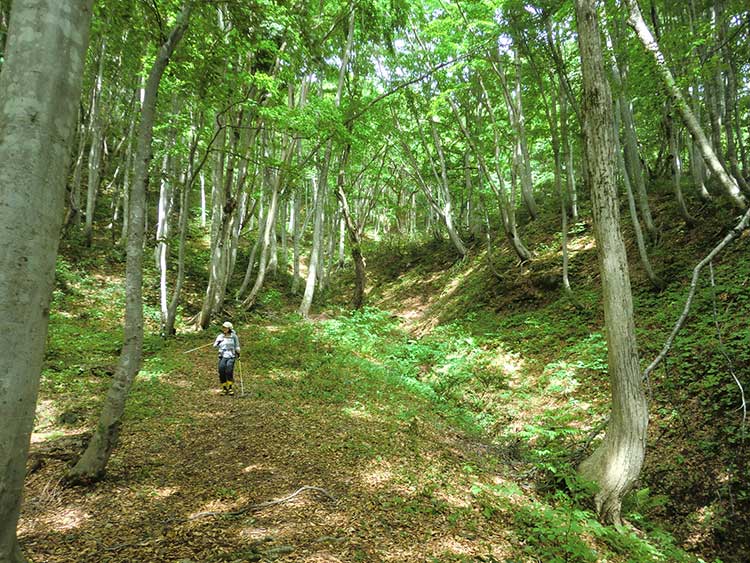
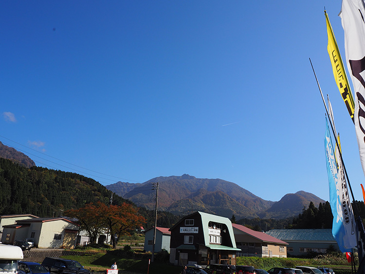
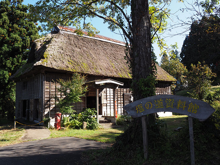
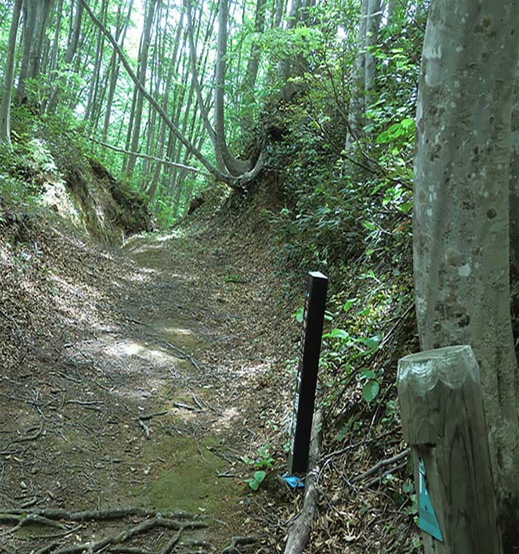
Starting from Oami Pass, which might be considered the best example of the ancient Shionomichi Trail, the route mainly consists of steep rising and falling roads. Start from Nechi Station on the Oito Line with a view of Mt. Kubikisan as you walk through 4 kilometers of satoyama terrain past the remains of the Yamaguchi checkpoint and the Shionomichi Museum. From here, the road becomes forested, and you will pass a single giant cedar tree where the Ozai god is enshrined, and which served as a guide post in the past. The trail gently ascends up to Shiroike Pond where a traveler’s inn once sat, before reaching Oami Pass at an elevation of 860 meters. This leg is a hiking trail, and from the pass the rocky trail descends in a zigzag. You’ll pass the cow watering post, and the descent continues to the suspension bridge, which you will use to cross the Yoko river. Walk past the six Shibahara Jizo statues and you will soon find yourself in the hamlet of Oami. Getting to Oami pass is a full day’s hike that requires proper attention to your footing and gear. Especially in winter, facilities and public restrooms are closed off and covered in snow with snow normally remaining around the pass until late May.
The westbound course is difficult to walk when there is snow on the ground between December and May. In summer, the trail is covered in grass making some parts of the route difficult to find, so please walk with an experienced guide regardless of the season. The eastbound course that crosses Oami and Torigoe Passes is suited to hikers in good health. Please inquire with the Itoigawa Tourism Association or the Otari Village Tourism Federation regarding the trail condition.